Elevation of Wards Creek Rd, Rogue River, OR, USA
Location: United States > Oregon > Jackson County > Rogue River >
Longitude: -123.11720
Latitude: 42.4575796
Elevation: 445m / 1460feet
Barometric Pressure: 96KPa
Elevation Map:
Satellite Map:
Related Photos:

The views kept improving as we gained elevation
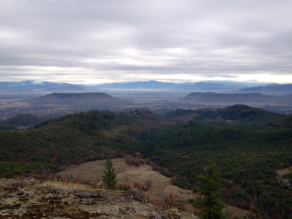
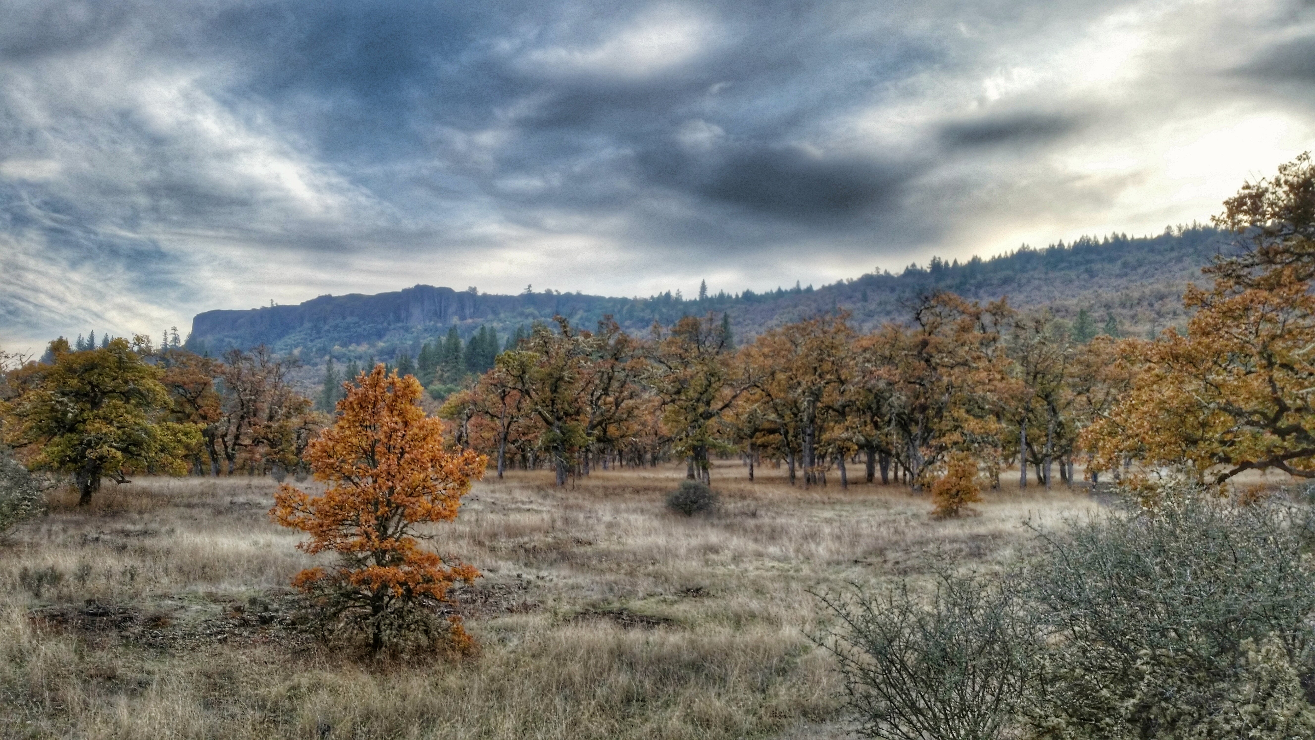
Table Rocks

Lower Table Rock

View out to the community of Sam's Valley

Lower Table Rock

Panorama of the view south

[OREGON-A-0161] Gold Ray Dam

View to the west toward Nugget Butte

Ruby-crowned Kinglet (Regulus calendula)

morning views, Weasku Inn, Rogue River, OR

[OREGON-A-0191] Savage Rapids Dam

View of the Rogue Valley from the edge of Lower Table Rock
The View from Here.

One last view of Upper Table Rock before we leave

Lower Table Rock and Barn from I-5

View to Sam's Valley, as we gained elevation

View to White City
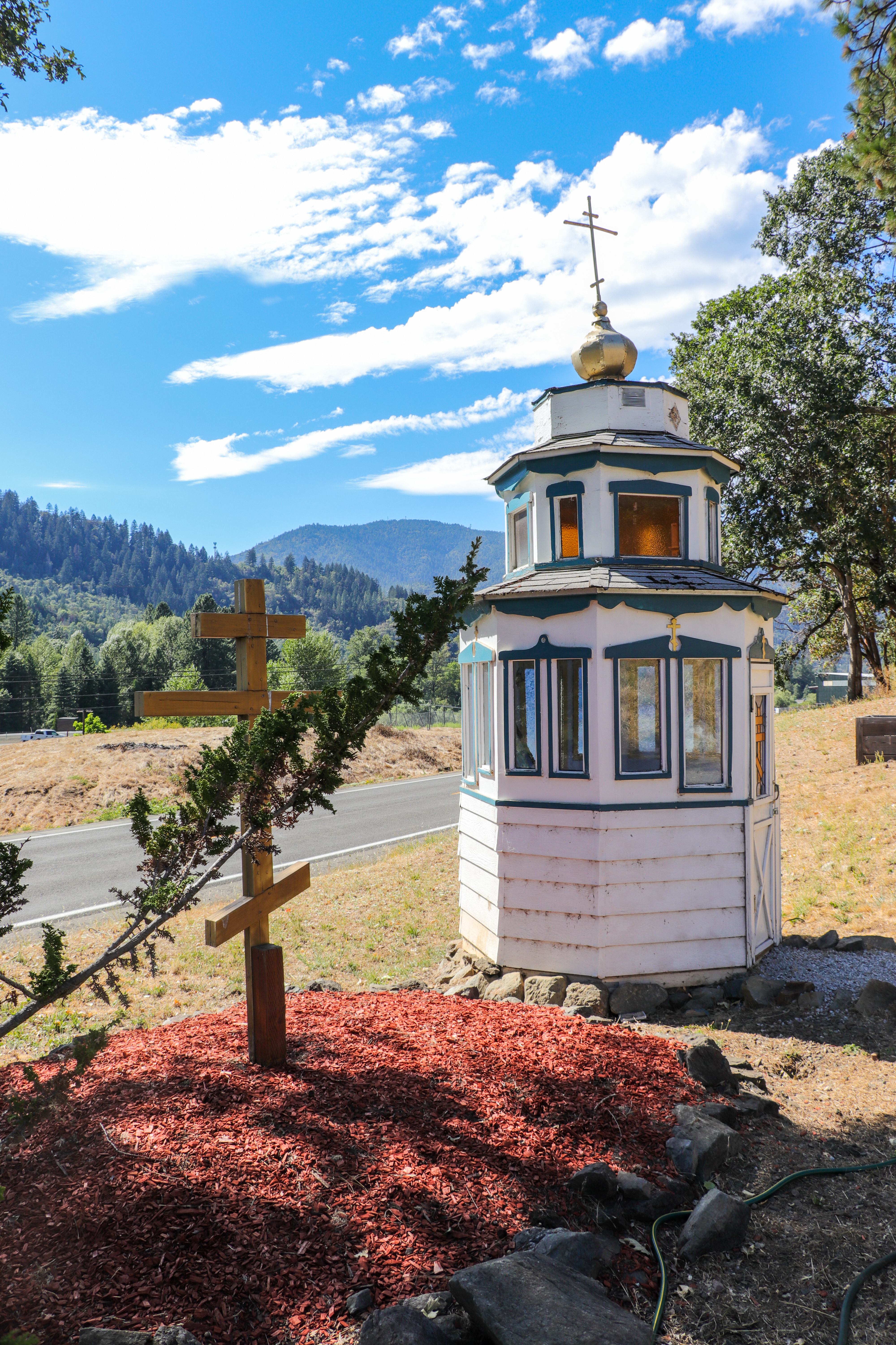
Přidružená kaplička

night view 2

View northwestish

night view

Hiking Lower Table Rock

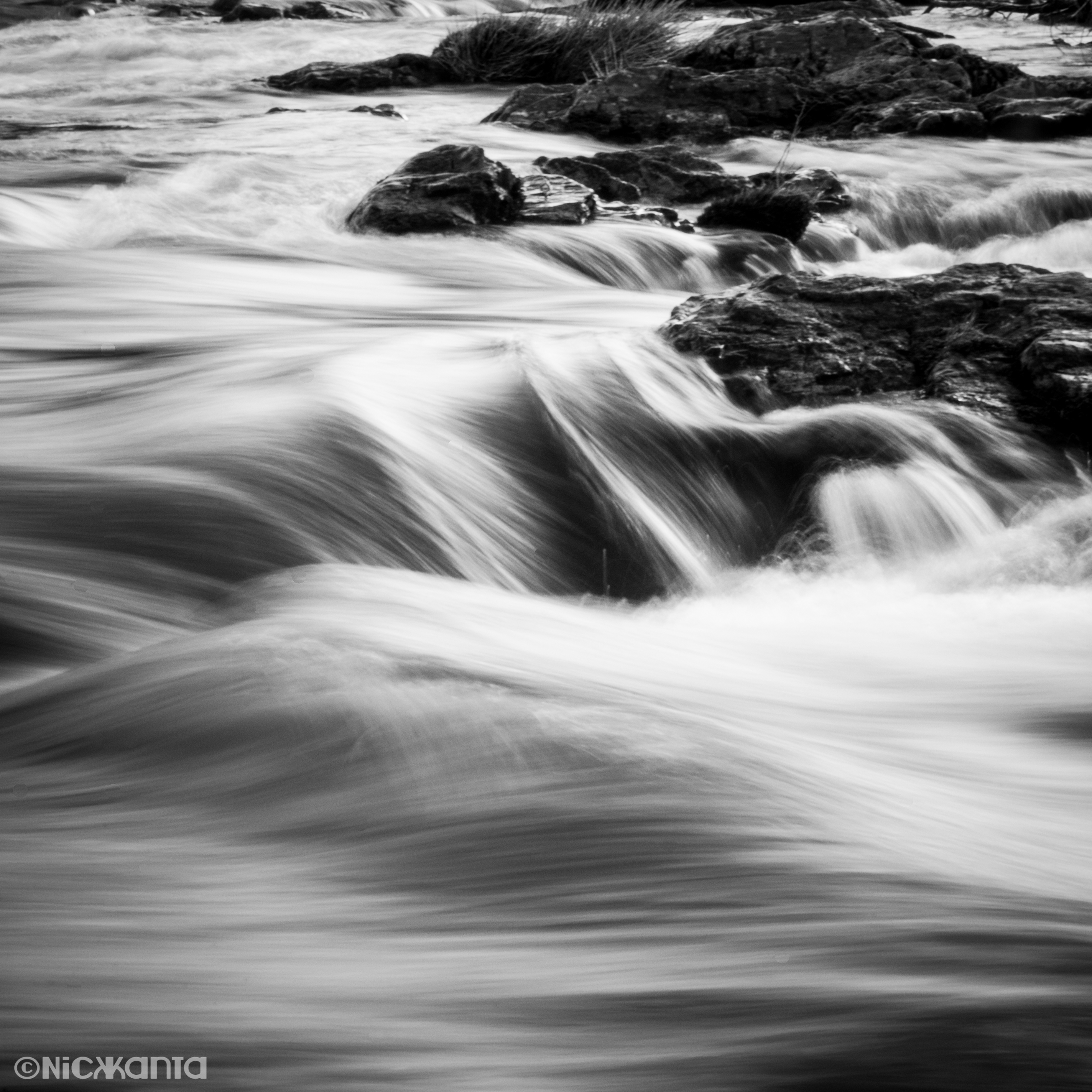
The Rogue River

Table Rock

Puddles of Gold
Silver Stream

Masonic Cemetary

table rock II

The Rogue River

Rogue Valley sunrise

Wildflowers on Lower Table Rock

I-5 South Exit 45B

Mugger's alley. In Gold Hill, on the Rogue River. #sundancekayak #rogueriver

Applegate Valley OR. MichaelOlsen/ZorkMagazine

Rogue River

Applegate Valley OR. MichaelOlsen/ZorkMagazine
Hiking Lower Table Rock

Hiking Lower Table Rock

Hiking Lower Table Rock
Topographic Map of Wards Creek Rd, Rogue River, OR, USA
Find elevation by address:

Places near Wards Creek Rd, Rogue River, OR, USA:
9100 Boyd Rd
2299 Wards Creek Rd
417 Placer St
1010 Broadway St
1029 Pine St
100 Broadway St
600 Hodson Rd
Rogue River
450 Foots Creek Rd
951 Foots Creek Rd
941 Foots Creek Rd
Gold Hill
326 Pine Grove Rd
582 Fielder Creek Rd
3200 L Fork Foots Creek Rd
7275 Rogue River Hwy
6965 W Evans Creek Rd
2912 Foots Creek Right Fork Rd
660 Queens Branch Rd
4315 Bear Branch Rd
Recent Searches:
- Elevation of Corso Fratelli Cairoli, 35, Macerata MC, Italy
- Elevation of Tallevast Rd, Sarasota, FL, USA
- Elevation of 4th St E, Sonoma, CA, USA
- Elevation of Black Hollow Rd, Pennsdale, PA, USA
- Elevation of Oakland Ave, Williamsport, PA, USA
- Elevation of Pedrógão Grande, Portugal
- Elevation of Klee Dr, Martinsburg, WV, USA
- Elevation of Via Roma, Pieranica CR, Italy
- Elevation of Tavkvetili Mountain, Georgia
- Elevation of Hartfords Bluff Cir, Mt Pleasant, SC, USA