Elevation of Warburton-Woods Point Rd, Matlock VIC, Australia
Location: Australia > Victoria > Yarra Ranges Shire >
Longitude: 146.168516
Latitude: -37.590250
Elevation: 1235m / 4052feet
Barometric Pressure: 87KPa
Elevation Map:
Satellite Map:
Related Photos:

From A Different Angle.

Easter 1908 - "Woods Point. Main Street", Victoria, Australia (restored version)

North of Frenchmans Gap

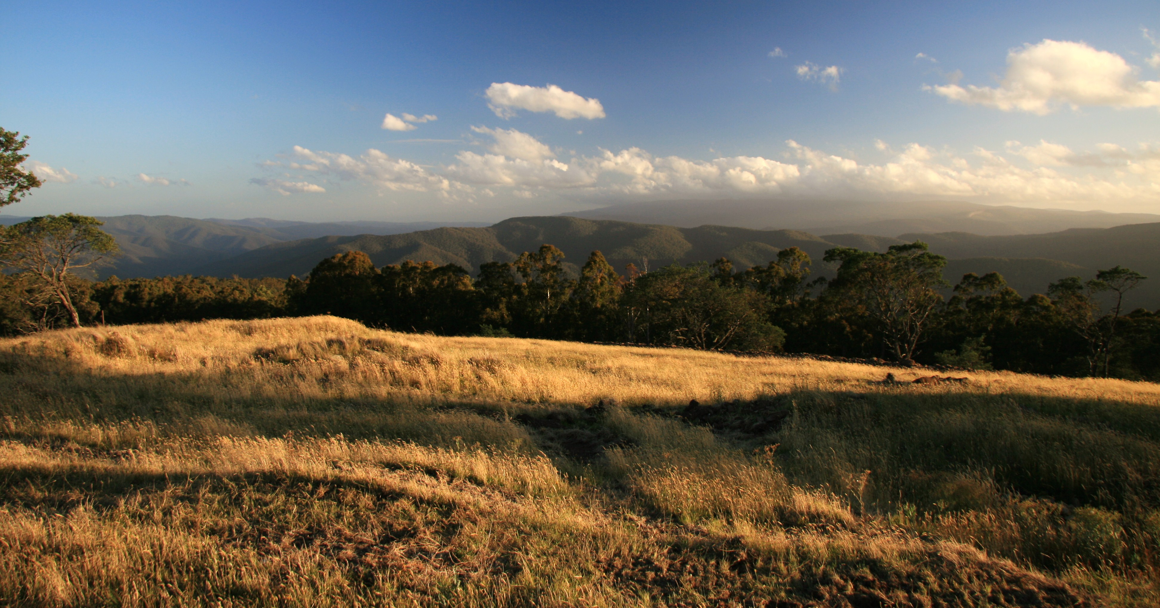
The view from Matlock

The view from Matlock

The view from Matlock

The view from Matlock

The view from Matlock

Woods Point Panorama

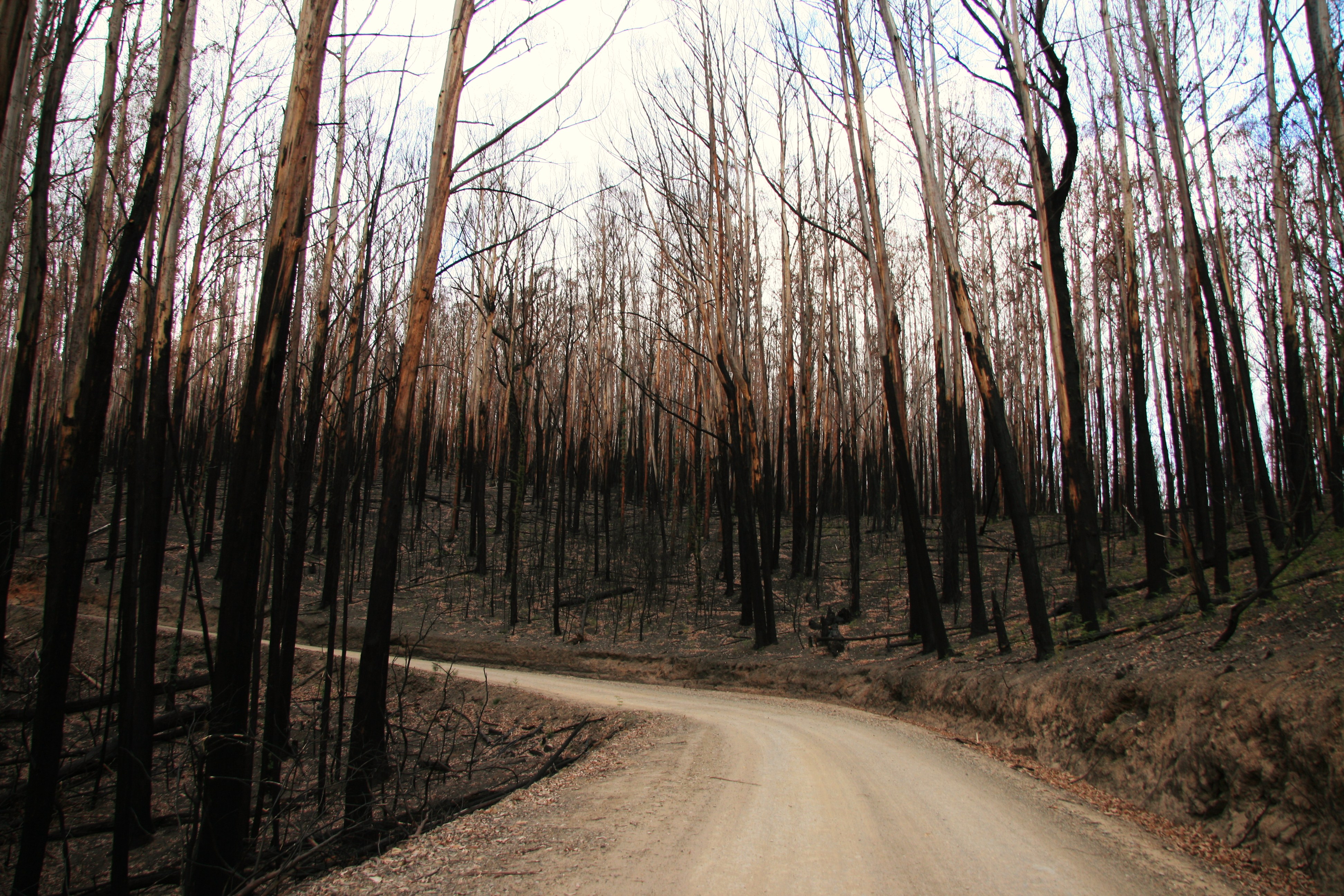
Burnt to a crisp

Old Gold Mine

Old Kiln
Fire Damage

Goulburn River, Woods Point

Burnt Out

Mt Baw Baw national park

Goulburn River, Woods Point

Gaffneys Creek Recreation Reserve

Black & White
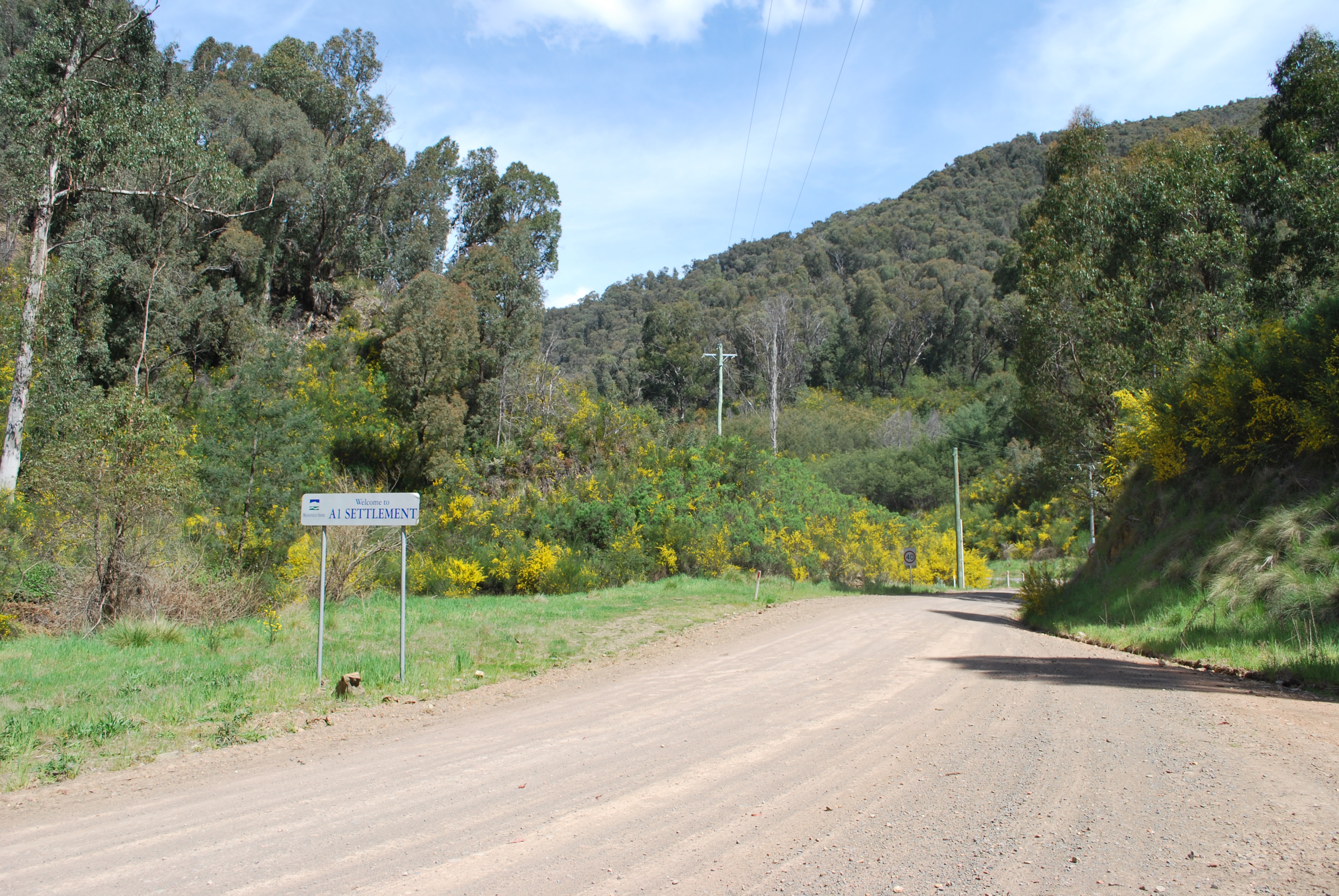
A1 Mine Settlement

Cattle at The Springs

Follow the road...
South from Matlock Hill

Woods Point (4)

Rolling Hills

Snow on Woods Point Road_20110703
Topographic Map of Warburton-Woods Point Rd, Matlock VIC, Australia
Find elevation by address:

Places near Warburton-Woods Point Rd, Matlock VIC, Australia:
5299 Mansfield-woods Point Rd
Kevington
Toorongo River
Jamieson
Lake Mountain Alpine Resort (unincorporated)
1071 Lake Mountain Rd
Toorongo River Chalets
Mansfield Shire
Howqua
24 Trout Stream Way
5 Valley Fair Rise
Trout Stream Way
Forest Edge Camp
Macs Cove
Neerim East
Marysville
Lake Eildon
Eildon
70 Ti Tree Dr
Thornton
Recent Searches:
- Elevation of Corso Fratelli Cairoli, 35, Macerata MC, Italy
- Elevation of Tallevast Rd, Sarasota, FL, USA
- Elevation of 4th St E, Sonoma, CA, USA
- Elevation of Black Hollow Rd, Pennsdale, PA, USA
- Elevation of Oakland Ave, Williamsport, PA, USA
- Elevation of Pedrógão Grande, Portugal
- Elevation of Klee Dr, Martinsburg, WV, USA
- Elevation of Via Roma, Pieranica CR, Italy
- Elevation of Tavkvetili Mountain, Georgia
- Elevation of Hartfords Bluff Cir, Mt Pleasant, SC, USA