Elevation of Wanrong Township, Hualien County, Taiwan
Location: Taiwan > Hualien County >
Longitude: 121.308408
Latitude: 23.7245744
Elevation: 1842m / 6043feet
Barometric Pressure: 81KPa
Elevation Map:
Satellite Map:
Related Photos:

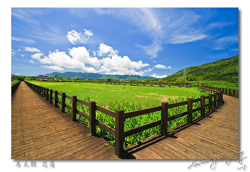
TW-2006_082

旅館夜景
Nothing but angle

TW-2006_081

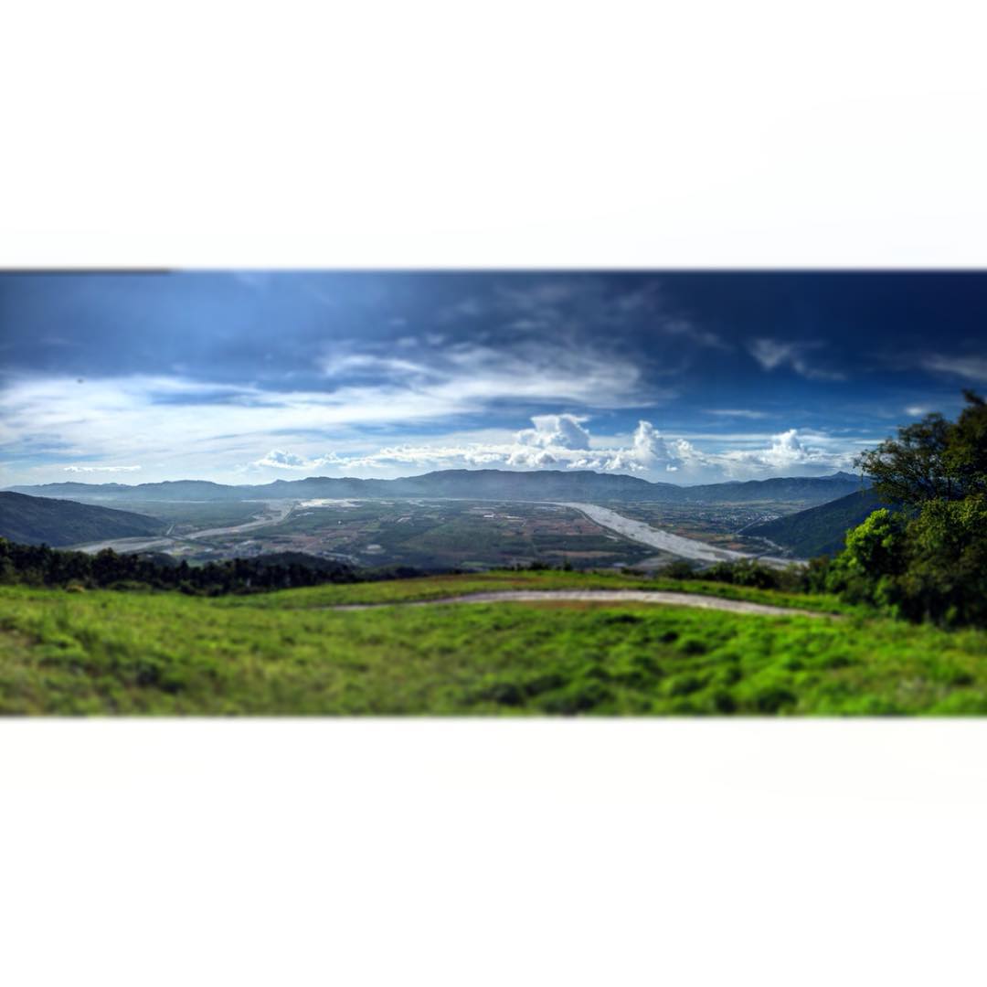
Clouded View
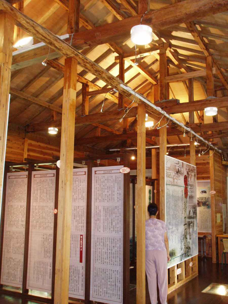
校長夢工廠展覽館內
#New #Try #Life #Paragliding #Morning #Amazing #Awesome #Pretty #Beautiful #花蓮 #萬榮 #View 花蓮 萬榮體驗飛行傘 這裡風景真的很美!

雨後的清晨

2013_06_22_1DX_6661 | In Explore
剛割完草的山腳六號 雖不嫩綠亦有幾分清新

DSC06787 (2)

IMAG4391返鄉

舊鐵道
Topographic Map of Wanrong Township, Hualien County, Taiwan
Find elevation by address:

Places in Wanrong Township, Hualien County, Taiwan:
Places near Wanrong Township, Hualien County, Taiwan:
No. 18, Linsen Rd, Fenglin Township, Hualien County, Taiwan
森榮里
大馬村
No. 30, Lane, Linsen Rd, Guangfu Township, Hualien County, Taiwan
Taiwan, Hualien County, Guangfu Township, 馬錫山環山道路4號
大華村
大興村
No. 49, Guangfu Rd, Guangfu Township, Hualien County, Taiwan
No. 71, Section 1, Zhongshan Rd, Guangfu Township, Hualien County, Taiwan
No., Fozu St, Guangfu Township, Hualien County, Taiwan
大平村
No. 11, Dajin Communication Rd, Guangfu Township, Hualien County, Taiwan
No. 2, Lane 29, Mingde Rd, Guangfu Township, Hualien County, Taiwan
Guangfu Township
大全村
富源村
北富村
No. 5, Minyou St, Guangfu Township, Hualien County, Taiwan
Taiwan, Hualien County, Wanrong Township, 花60鄉道68號
大富村
Recent Searches:
- Elevation of Corso Fratelli Cairoli, 35, Macerata MC, Italy
- Elevation of Tallevast Rd, Sarasota, FL, USA
- Elevation of 4th St E, Sonoma, CA, USA
- Elevation of Black Hollow Rd, Pennsdale, PA, USA
- Elevation of Oakland Ave, Williamsport, PA, USA
- Elevation of Pedrógão Grande, Portugal
- Elevation of Klee Dr, Martinsburg, WV, USA
- Elevation of Via Roma, Pieranica CR, Italy
- Elevation of Tavkvetili Mountain, Georgia
- Elevation of Hartfords Bluff Cir, Mt Pleasant, SC, USA