Elevation of Walsh Rd, Ellis Grove, IL, USA
Location: United States > Illinois > Randolph County > Walsh Precinct >
Longitude: -89.833342
Latitude: 38.0597178
Elevation: 155m / 509feet
Barometric Pressure: 99KPa
Elevation Map:
Satellite Map:
Related Photos:
Garrison Hill Cemetery, Randolph County (Ill.), 19 December 2014
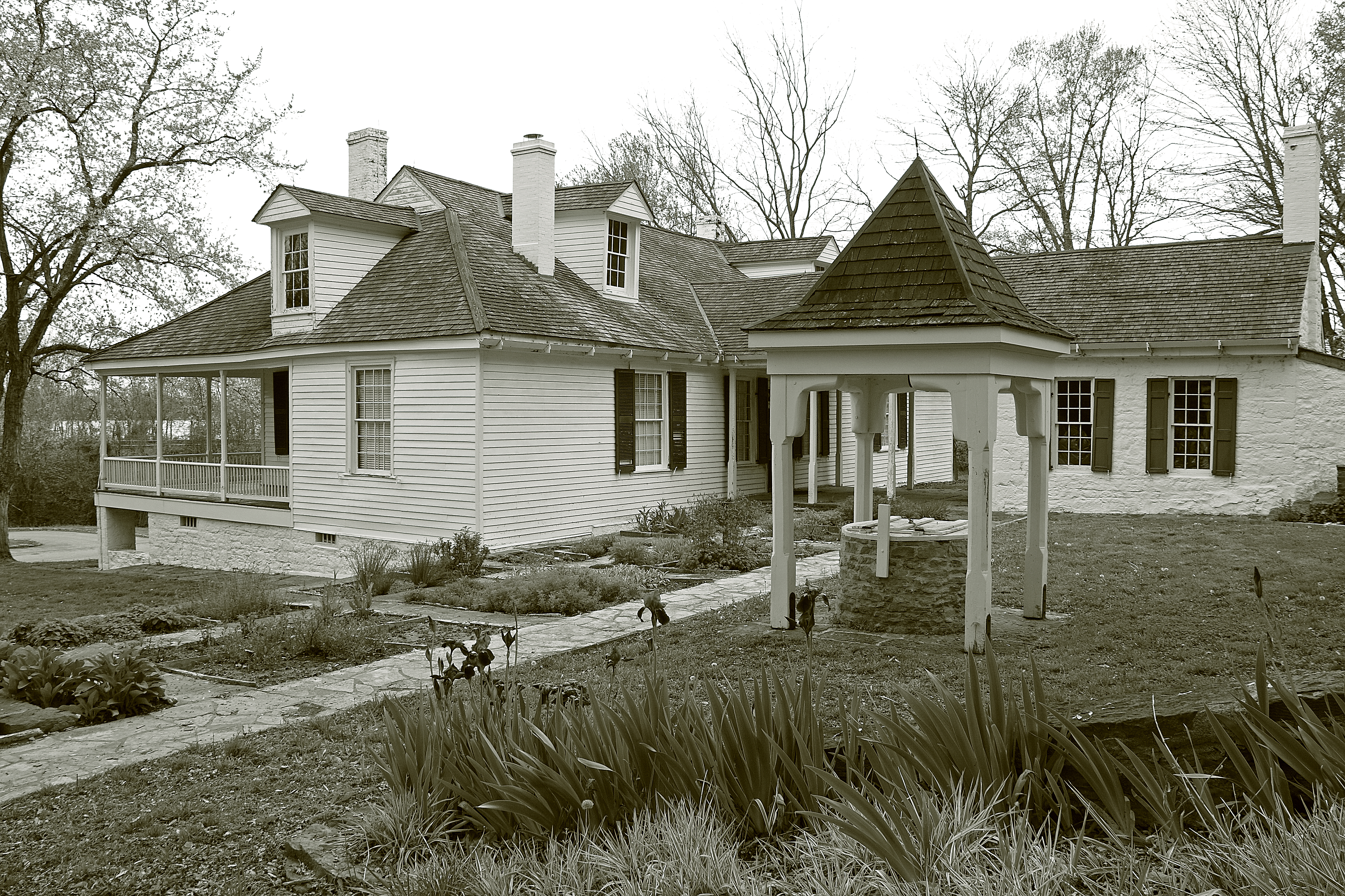
Pierre Menard Home

Birdwatching on the Levee
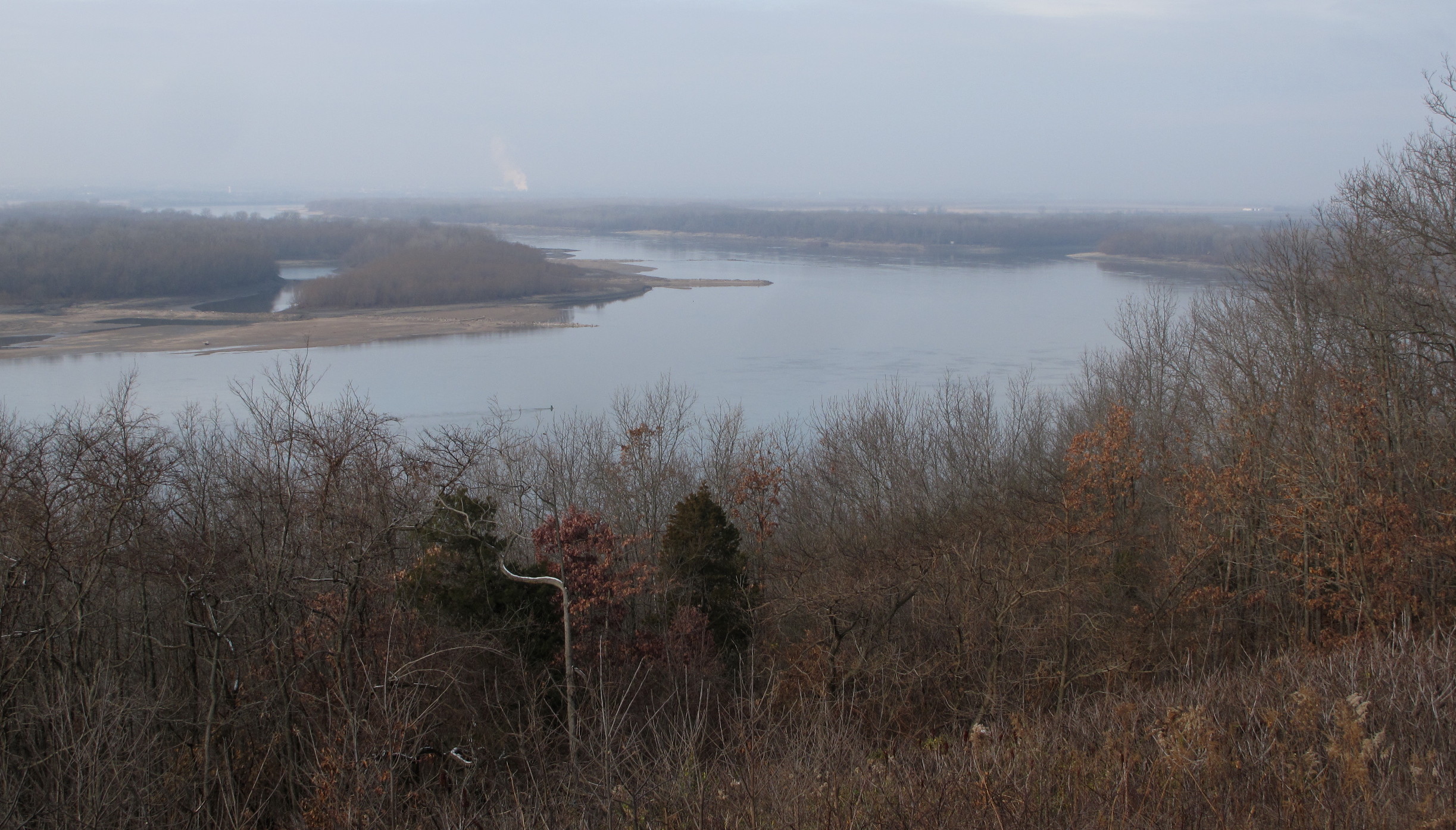
Mississippi River_7450
Mississippi River_7459
Mississippi River_7458

20100906-StLouis-025
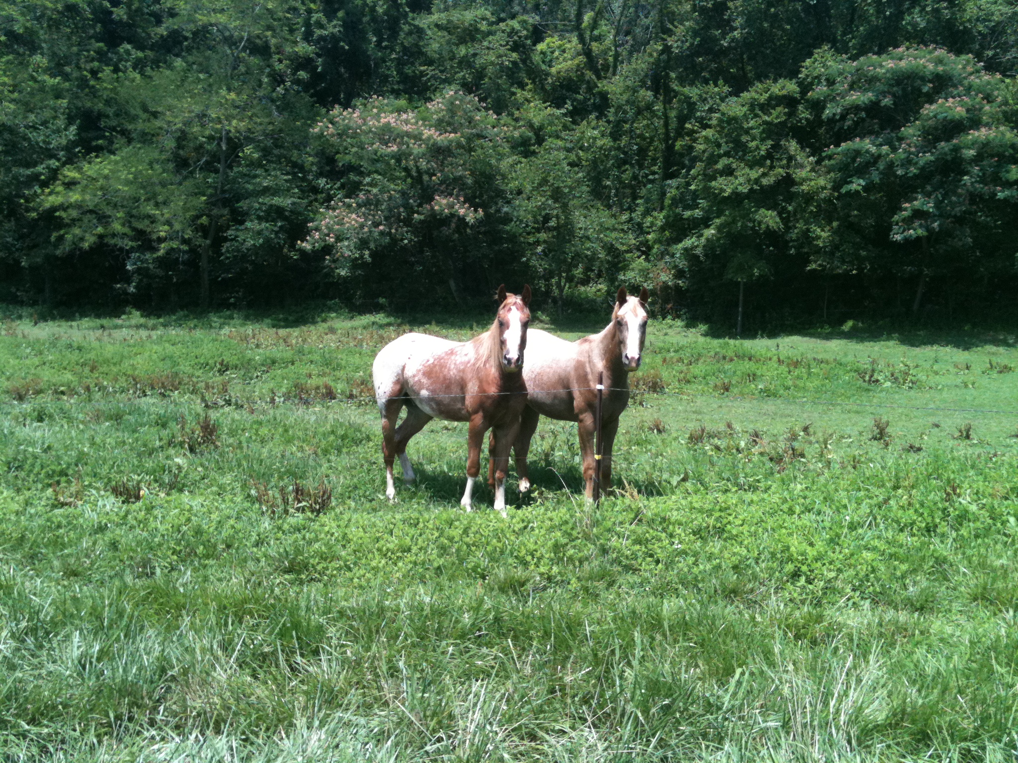
Horses love me, 2

Lazy Summer Afternoon

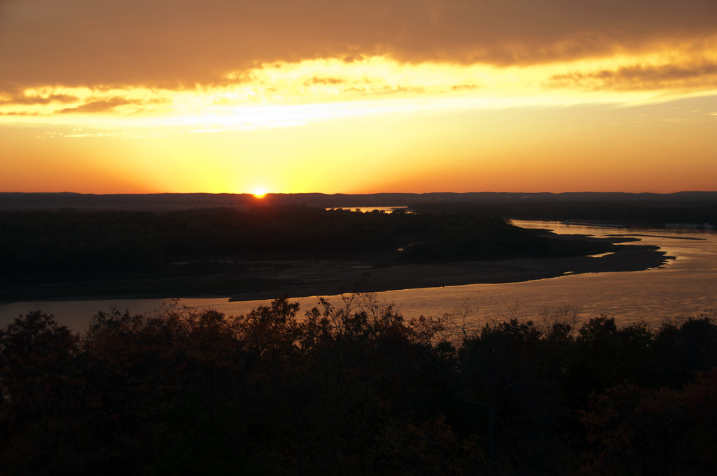
High Sun and Clouds
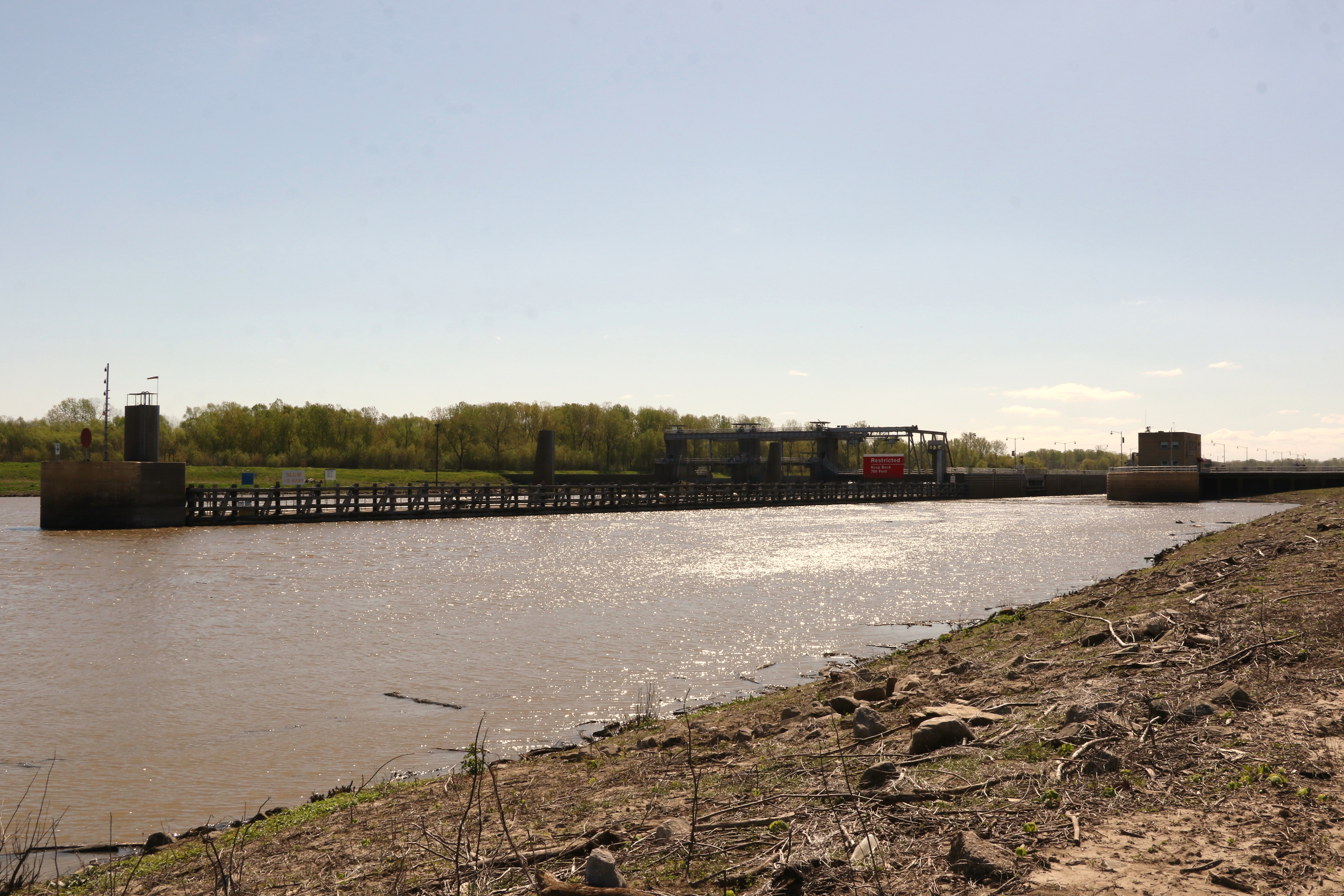
Jerry F. Costello Lock and Damn
Topographic Map of Walsh Rd, Ellis Grove, IL, USA
Find elevation by address:

Places near Walsh Rd, Ellis Grove, IL, USA:
Nebo Road
Walsh Precinct
Randolph County
Palestine Township
4486 Diamond Cross Rd
Ellis Grove
Diamond Cross Road
Ellis Grove
Sparta, IL, USA
Evansville Precinct
Evansville
Liberty St, Evansville, IL, USA
6548 Il-4
Unnamed Road
207 S Oak St
Oak Grove Road
W Broadway St, Sparta, IL, USA
Sparta
Sparta Township
Steeleville Township
Recent Searches:
- Elevation of Corso Fratelli Cairoli, 35, Macerata MC, Italy
- Elevation of Tallevast Rd, Sarasota, FL, USA
- Elevation of 4th St E, Sonoma, CA, USA
- Elevation of Black Hollow Rd, Pennsdale, PA, USA
- Elevation of Oakland Ave, Williamsport, PA, USA
- Elevation of Pedrógão Grande, Portugal
- Elevation of Klee Dr, Martinsburg, WV, USA
- Elevation of Via Roma, Pieranica CR, Italy
- Elevation of Tavkvetili Mountain, Georgia
- Elevation of Hartfords Bluff Cir, Mt Pleasant, SC, USA