Elevation of Walnut St, Neosho Falls, KS, USA
Location: United States > Kansas > Woodson County > Neosho Falls > Neosho Falls >
Longitude: -95.557460
Latitude: 38.007192
Elevation: 298m / 978feet
Barometric Pressure: 98KPa
Elevation Map:
Satellite Map:
Related Photos:
Main Street - Neosho Falls, KS
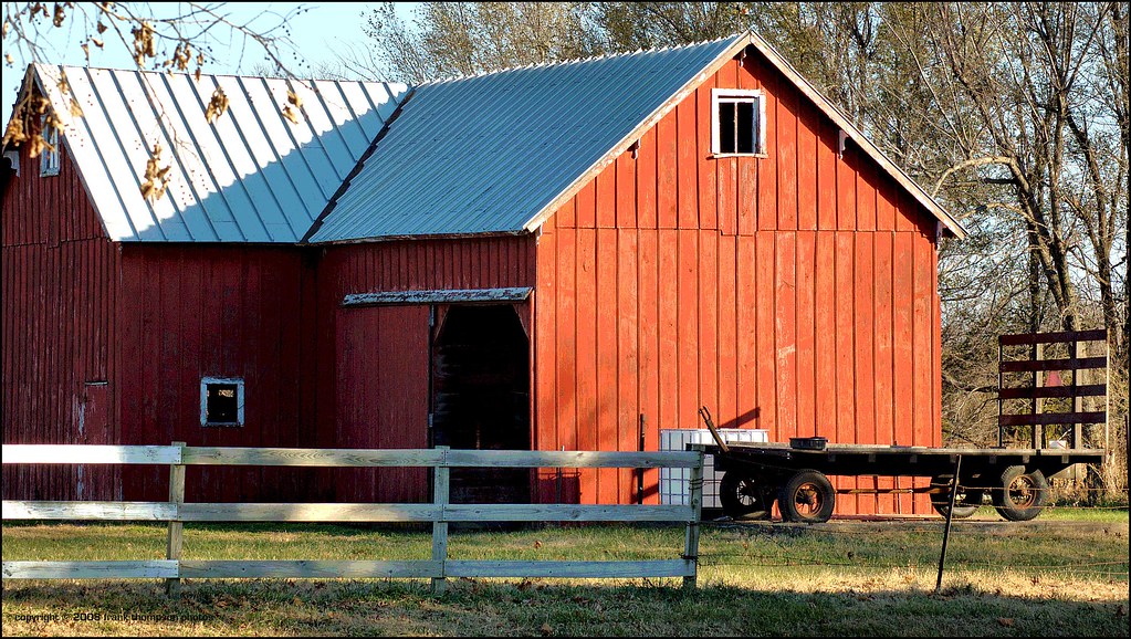
The Red Barn at Piqua

Vespa taking a break - View #1

Vespa taking a break - View #2
Aerial view 2

Country Road
Ghost trip fall 2012

Wheat?

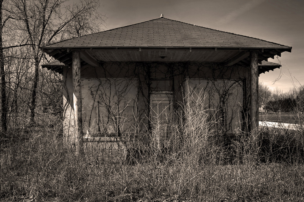
Abandoned School Gym
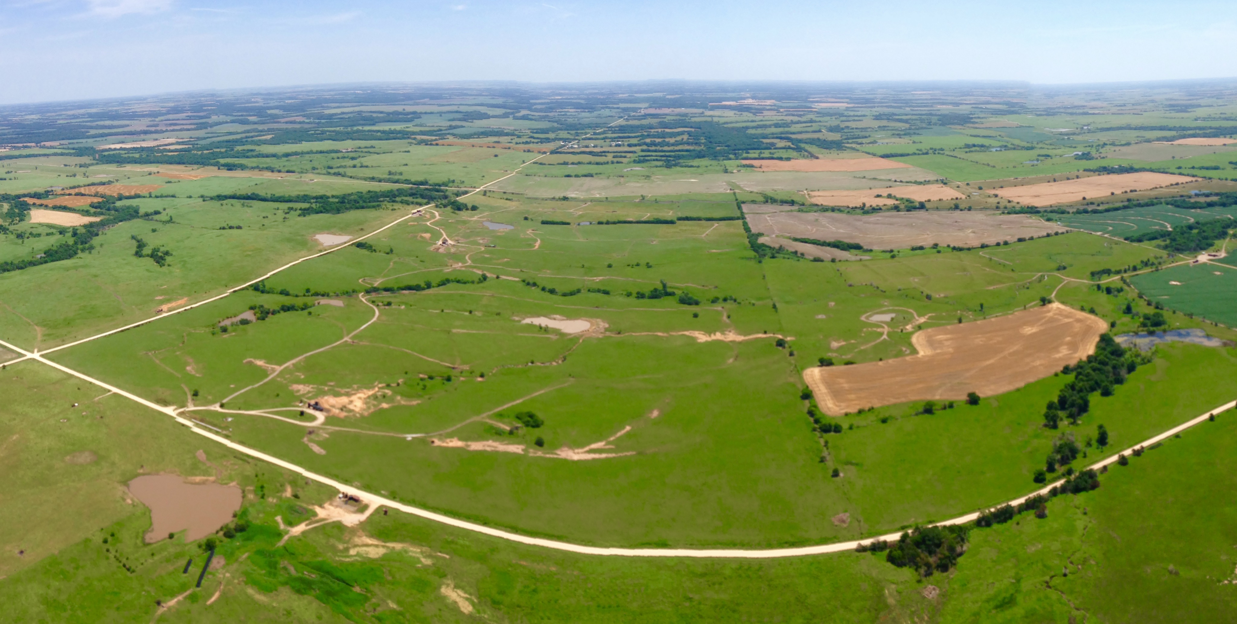
Panoramic Aerial
Topographic Map of Walnut St, Neosho Falls, KS, USA
Find elevation by address:

Places near Walnut St, Neosho Falls, KS, USA:
Neosho Falls
The Island
Westphalia
207-201
Westphalia
Star
2088 15th Rd Se
2088 15th Rd Se
Reeder
13906 Ks-31
Rock Creek
Anderson County
Dane St, Waverly, KS, USA
Waverly
Osage
816 W 4th Ave
South Maple Street
100 N Maple St
Gardiner Street Maintenance
Garnett
Recent Searches:
- Elevation of Corso Fratelli Cairoli, 35, Macerata MC, Italy
- Elevation of Tallevast Rd, Sarasota, FL, USA
- Elevation of 4th St E, Sonoma, CA, USA
- Elevation of Black Hollow Rd, Pennsdale, PA, USA
- Elevation of Oakland Ave, Williamsport, PA, USA
- Elevation of Pedrógão Grande, Portugal
- Elevation of Klee Dr, Martinsburg, WV, USA
- Elevation of Via Roma, Pieranica CR, Italy
- Elevation of Tavkvetili Mountain, Georgia
- Elevation of Hartfords Bluff Cir, Mt Pleasant, SC, USA