Elevation of Walnut, KS, USA
Location: United States > Kansas > Brown County >
Longitude: -95.7089241
Latitude: 39.8615431
Elevation: 359m / 1178feet
Barometric Pressure: 0KPa
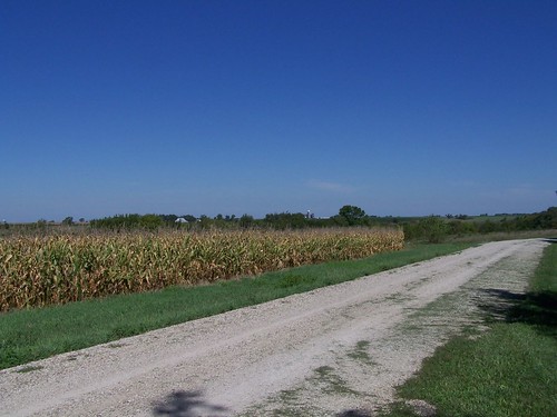
Related Photos:
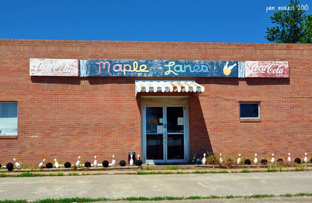
What a Bowling alley
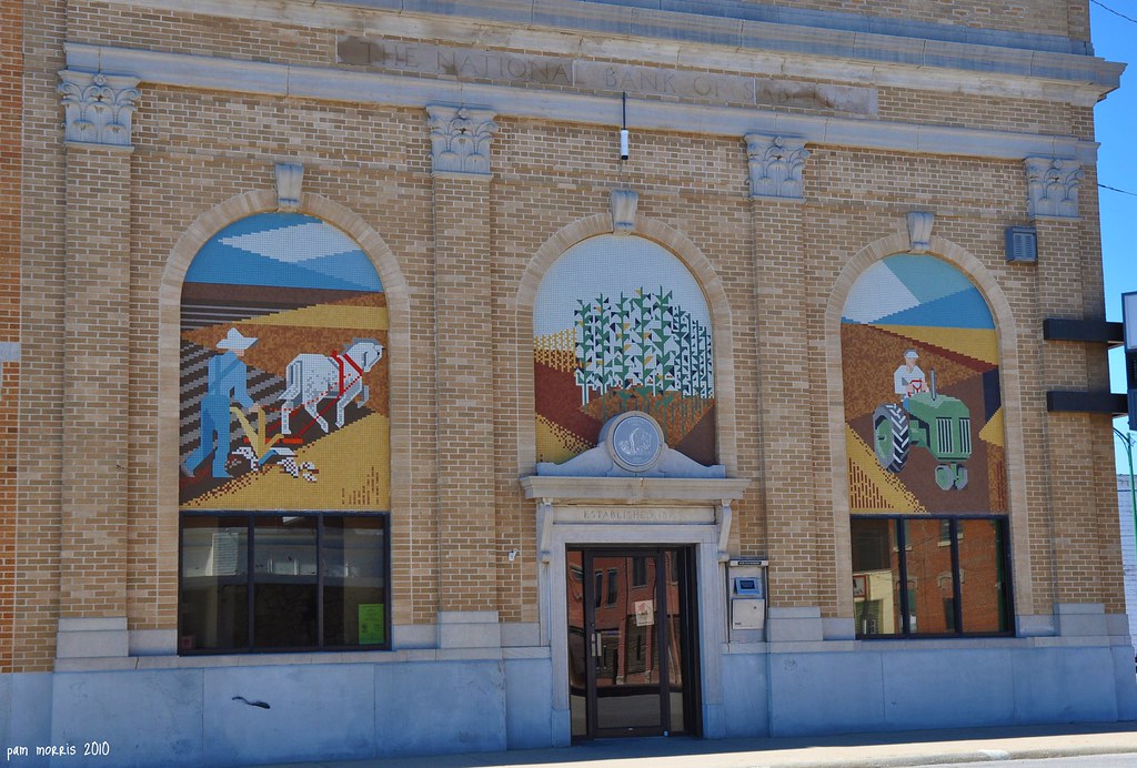
Main Street Splendor

Francis M. Starns Sr.
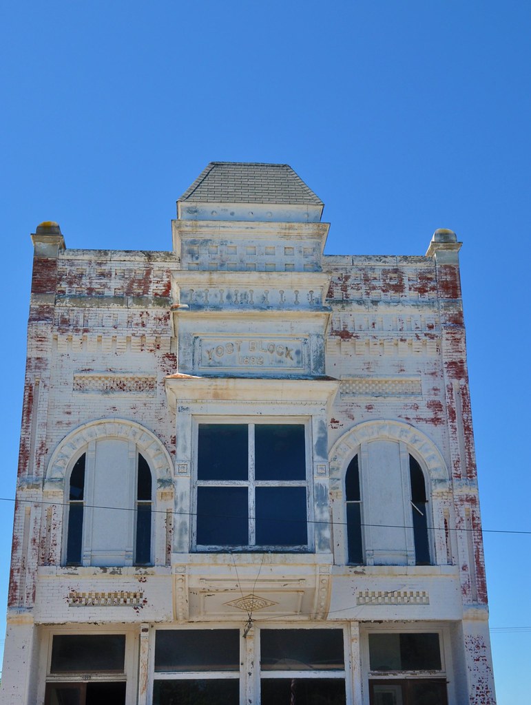
1892 Facade
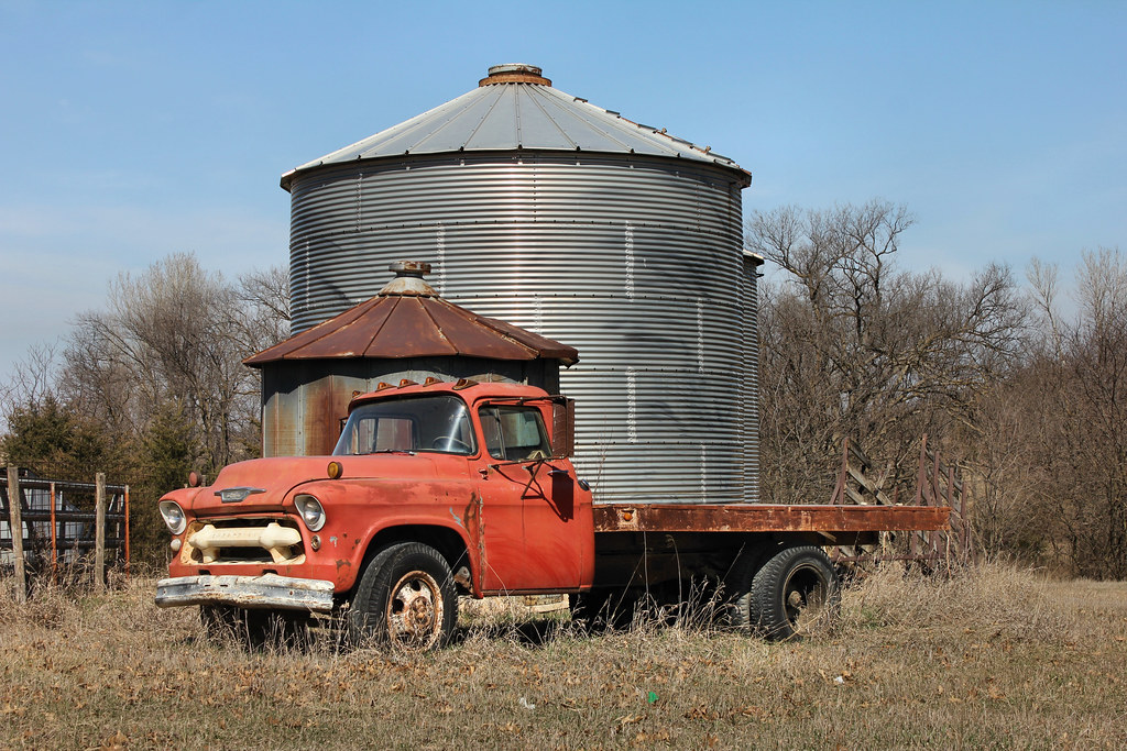
1956 Chevy Truck - rural Woodlawn, KS
RCWest 1285
Hiawatha Municipal Airport
Hiawatha Municipal Airport
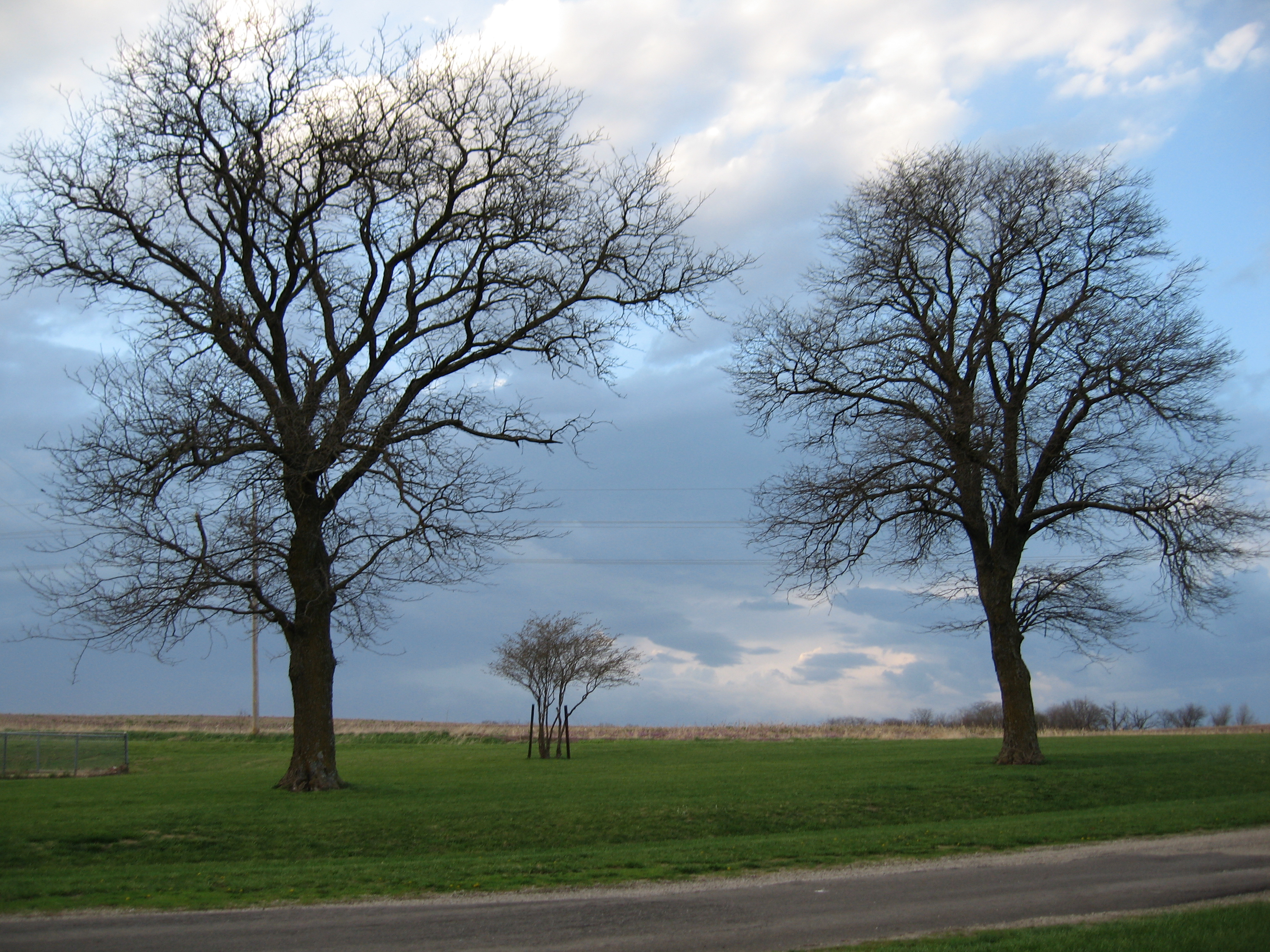
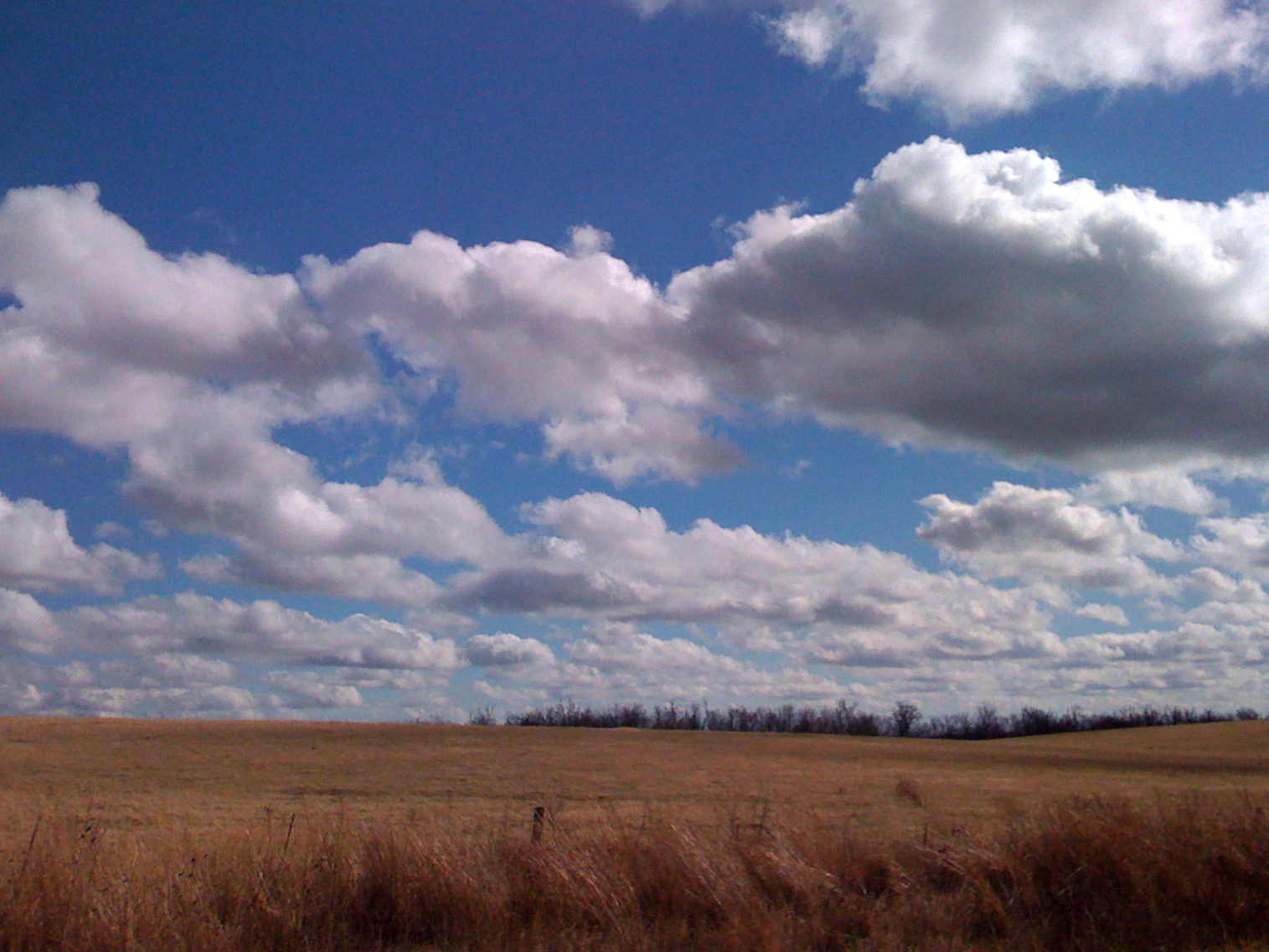
Kansas sky
Driving in Kansas

Boulder Hike
Topographic Map of Walnut, KS, USA
Find elevation by address:

Places in Walnut, KS, USA:
Places near Walnut, KS, USA:
th St, Morrill, KS, USA
Roxanna St, Morrill, KS, USA
Morrill
Morrill
Sabetha
Usc, Llc
X6 Rd, Wetmore, KS, USA
2117 200th Rd
2117 200th Rd
Granada
Richardson County
Netawaka
Netawaka
Kansas Ave, Netawaka, KS, USA
Washington
Railroad St, Bern, KS, USA
Bern
Dawson
Nemaha County
Goff
Recent Searches:
- Elevation of North 8th Street, Palatka, Putnam County, Florida, 32177, USA
- Elevation of 107, Big Apple Road, East Palatka, Putnam County, Florida, 32131, USA
- Elevation of Jiezi, Chongzhou City, Sichuan, China
- Elevation of Chongzhou City, Sichuan, China
- Elevation of Huaiyuan, Chongzhou City, Sichuan, China
- Elevation of Qingxia, Chengdu, Sichuan, China
- Elevation of Corso Fratelli Cairoli, 35, Macerata MC, Italy
- Elevation of Tallevast Rd, Sarasota, FL, USA
- Elevation of 4th St E, Sonoma, CA, USA
- Elevation of Black Hollow Rd, Pennsdale, PA, USA
- Elevation of Oakland Ave, Williamsport, PA, USA
- Elevation of Pedrógão Grande, Portugal
- Elevation of Klee Dr, Martinsburg, WV, USA
- Elevation of Via Roma, Pieranica CR, Italy
- Elevation of Tavkvetili Mountain, Georgia
- Elevation of Hartfords Bluff Cir, Mt Pleasant, SC, USA
- Elevation of SW Barberry Dr, Beaverton, OR, USA
- Elevation of Old Ahsahka Grade, Ahsahka, ID, USA
- Elevation of State Hwy F, Pacific, MO, USA
- Elevation of Chemin de Bel air, Chem. de Bel air, Mougins, France