Elevation of Wall St, Richland, GA, USA
Location: United States > Georgia > Stewart County > Richland >
Longitude: -84.667206
Latitude: 32.089468
Elevation: 180m / 591feet
Barometric Pressure: 99KPa
Elevation Map:
Satellite Map:
Related Photos:

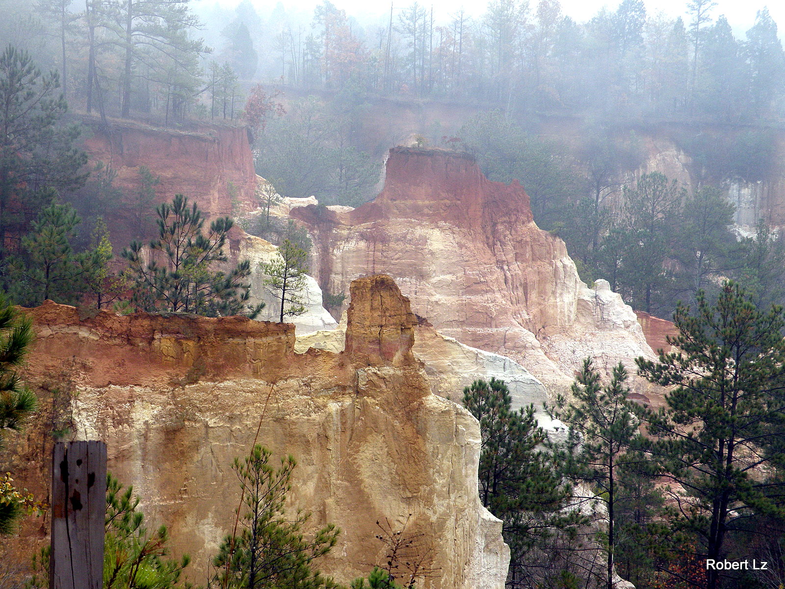
Like a rock
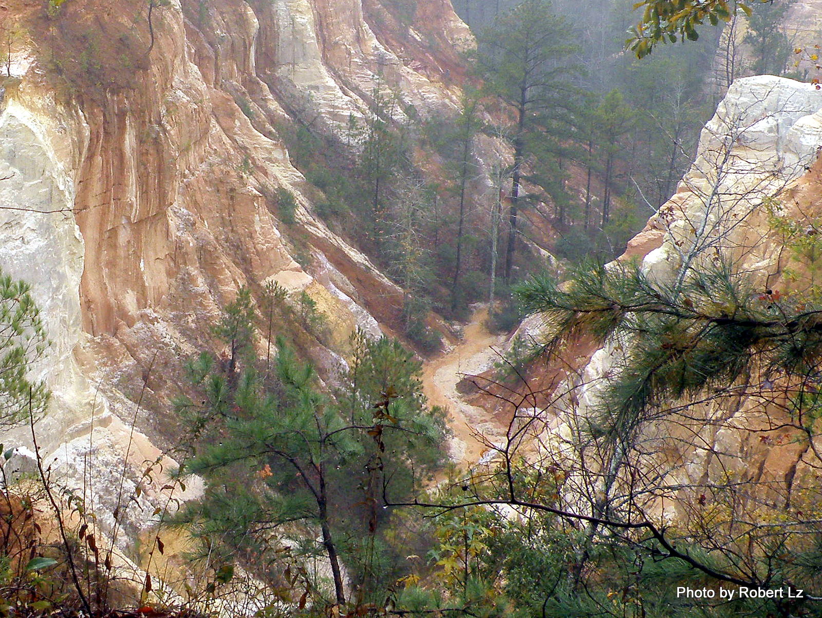
The Creek in the Canyon is the Trail-You Will Get Wet
Providence Canyon State Park~ Lumpkin , Georgia
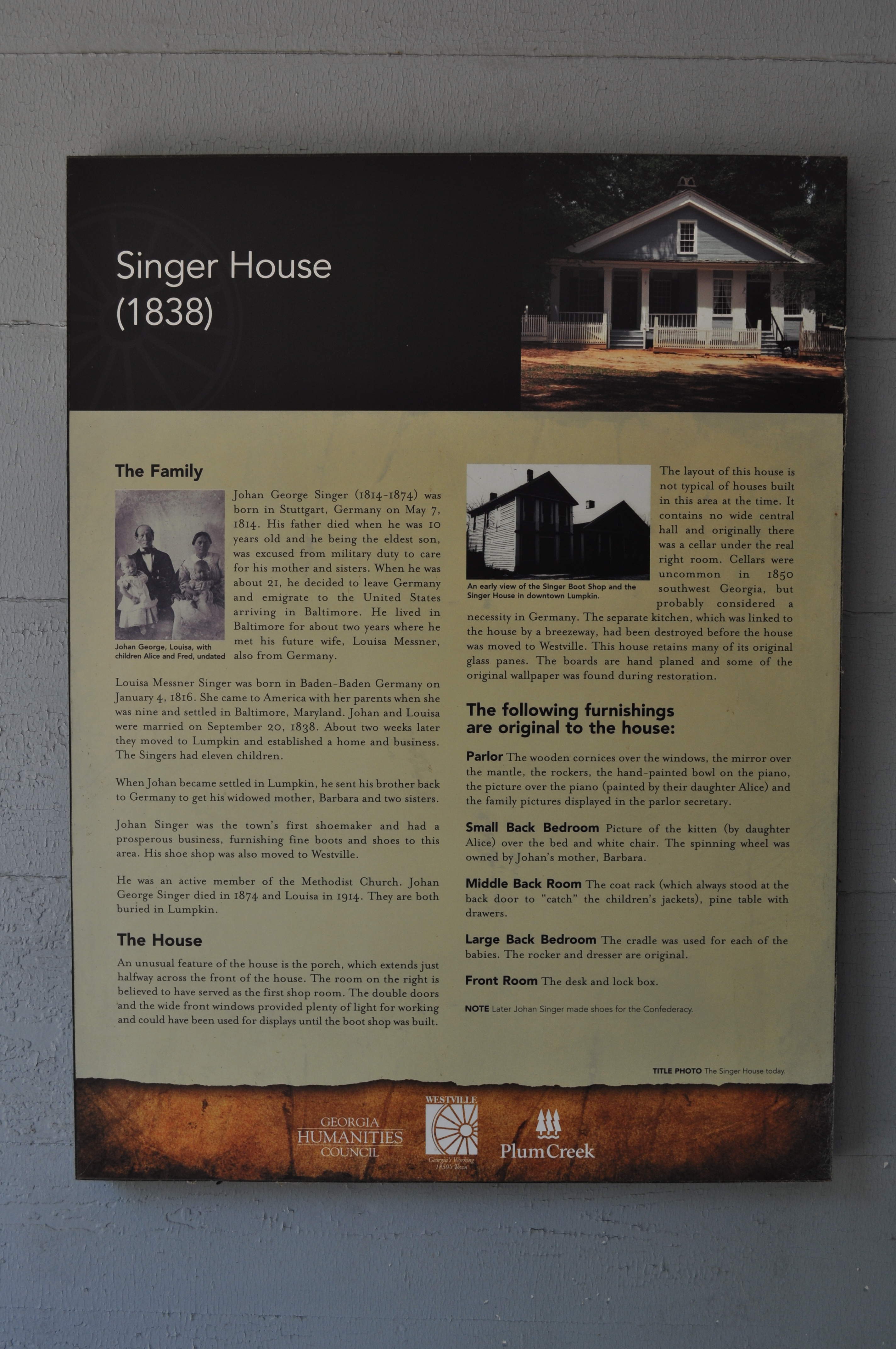
1978 Singer House Img_8733

Becoming one with the earth
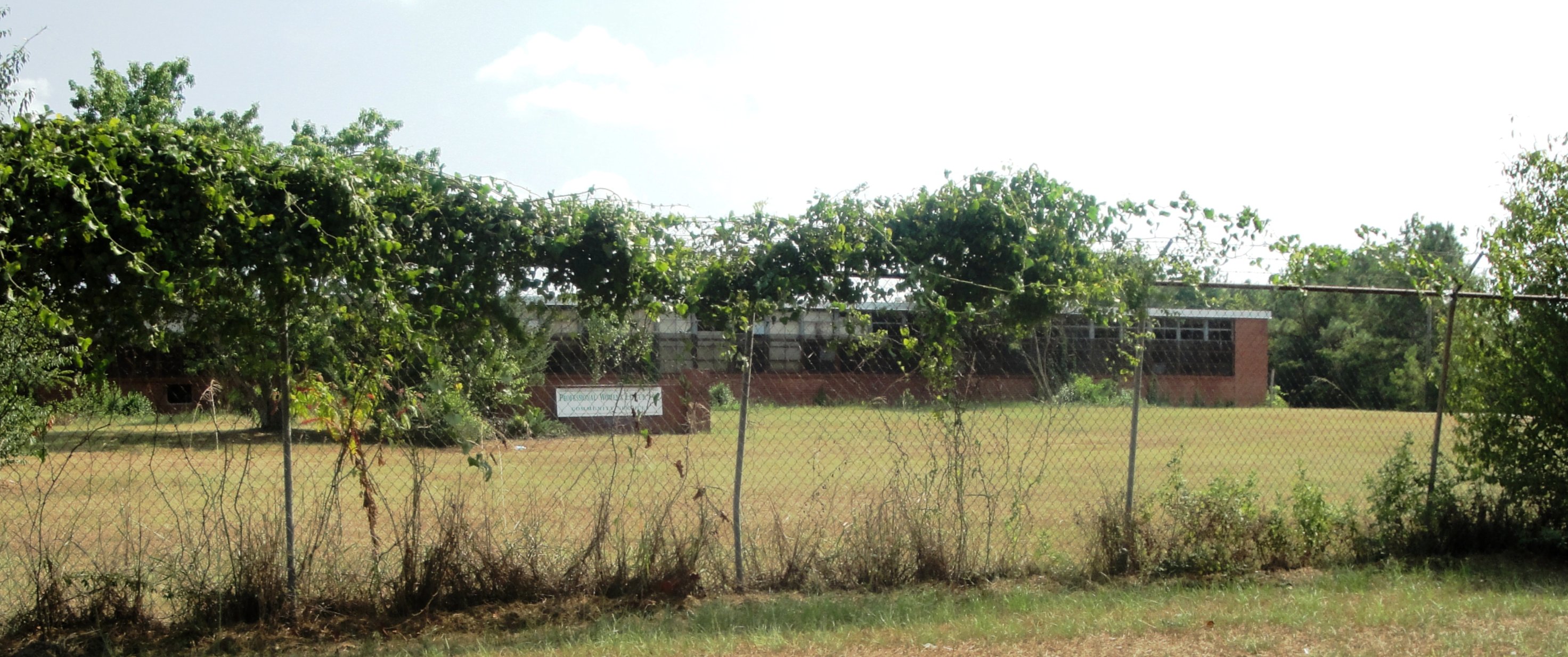
Lumpkin High & Industrial
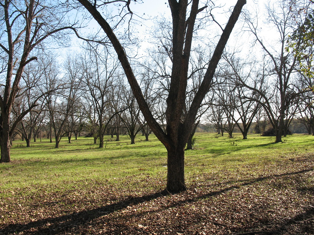
Pecan Grove Richland GA
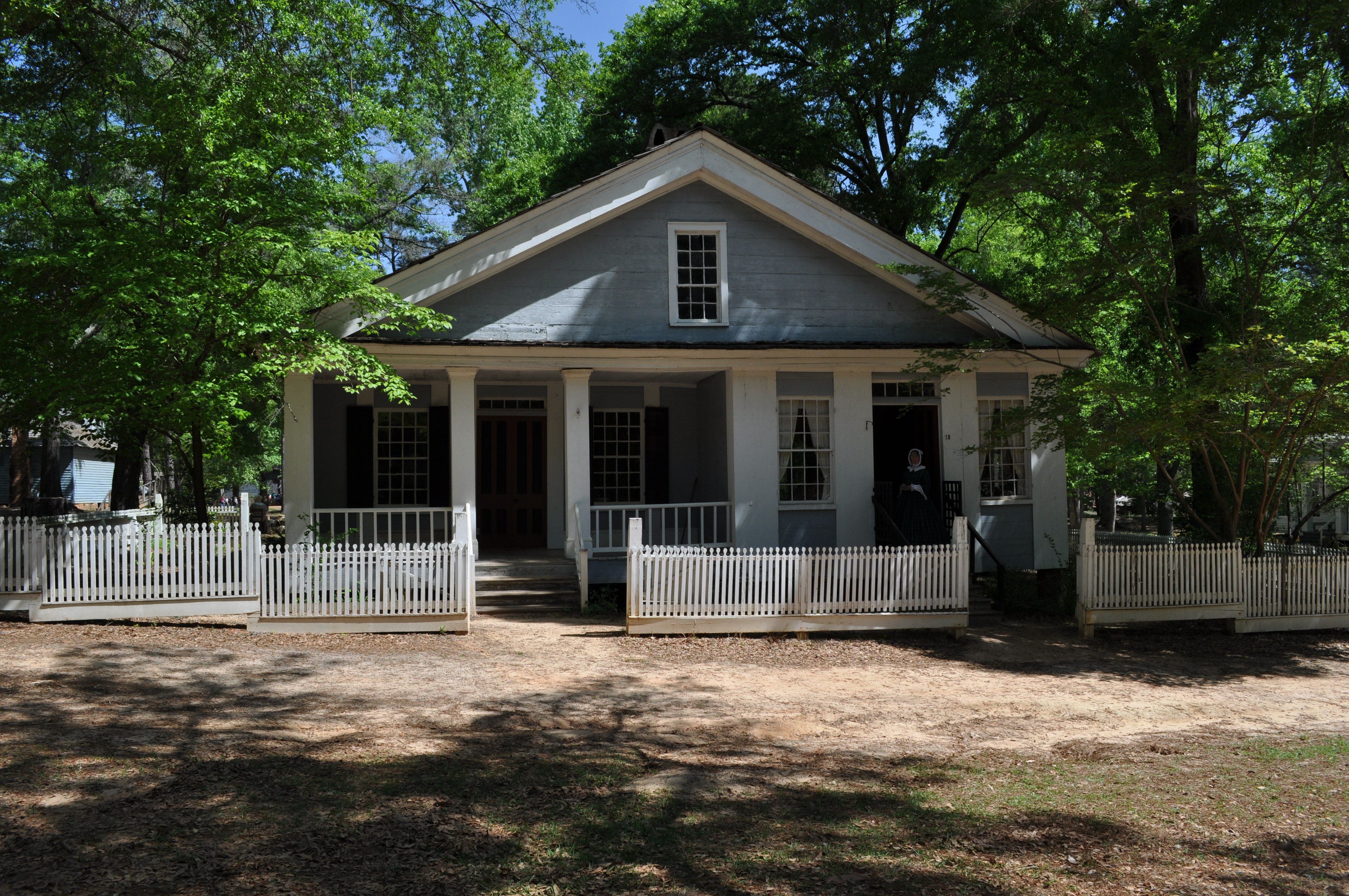
1969 Singer House Img_8724
Topographic Map of Wall St, Richland, GA, USA
Find elevation by address:

Places near Wall St, Richland, GA, USA:
272 Broad St
Richland
565 Hamilton St
Red Hill Church Road
Kimbrough Rd, Richland, GA, USA
4676 Wilson Pond Rd
GA-41, Weston, GA, USA
Weston
Webster County
Preston
Broad St, Lumpkin, GA, USA
Lumpkin
Stewart County
US-, Richland, GA, USA
Co Rd 96, Buena Vista, GA, USA
Louvale
Old Louvale Rd, Louvale, GA, USA
Tolleson Rd, Preston, GA, USA
Firetower Rd, Cusseta, GA, USA
GA-30, Buena Vista, GA, USA
Recent Searches:
- Elevation of Corso Fratelli Cairoli, 35, Macerata MC, Italy
- Elevation of Tallevast Rd, Sarasota, FL, USA
- Elevation of 4th St E, Sonoma, CA, USA
- Elevation of Black Hollow Rd, Pennsdale, PA, USA
- Elevation of Oakland Ave, Williamsport, PA, USA
- Elevation of Pedrógão Grande, Portugal
- Elevation of Klee Dr, Martinsburg, WV, USA
- Elevation of Via Roma, Pieranica CR, Italy
- Elevation of Tavkvetili Mountain, Georgia
- Elevation of Hartfords Bluff Cir, Mt Pleasant, SC, USA