Elevation of Wall St, Grifton, NC, USA
Location: United States > North Carolina > Pitt County > Grifton > Grifton >
Longitude: -77.426666
Latitude: 35.373161
Elevation: 10m / 33feet
Barometric Pressure: 101KPa
Elevation Map:
Satellite Map:
Related Photos:

The Doorway
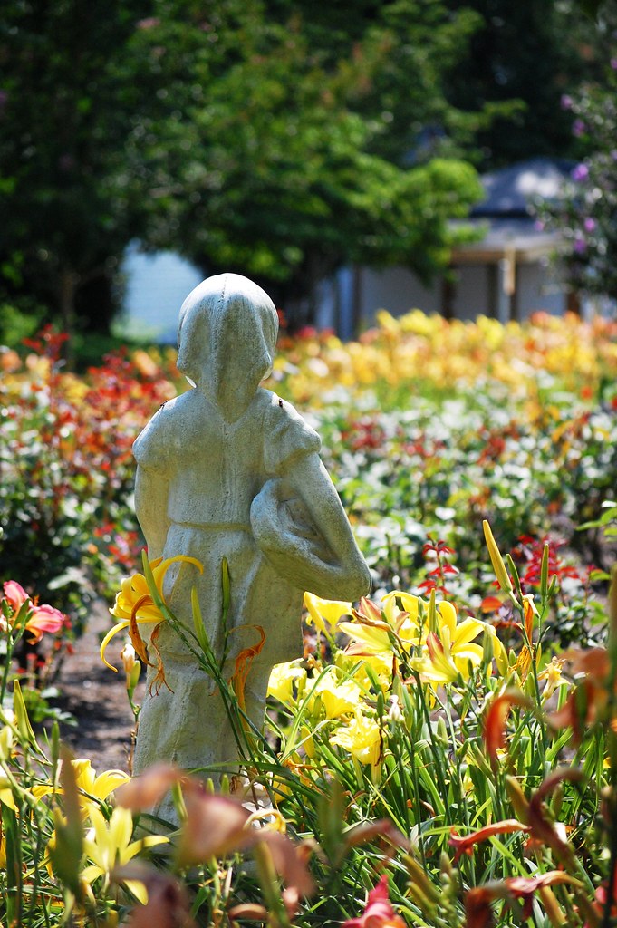
view to a garden
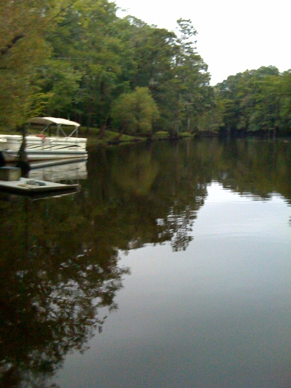
Neuse River Expedition Finished
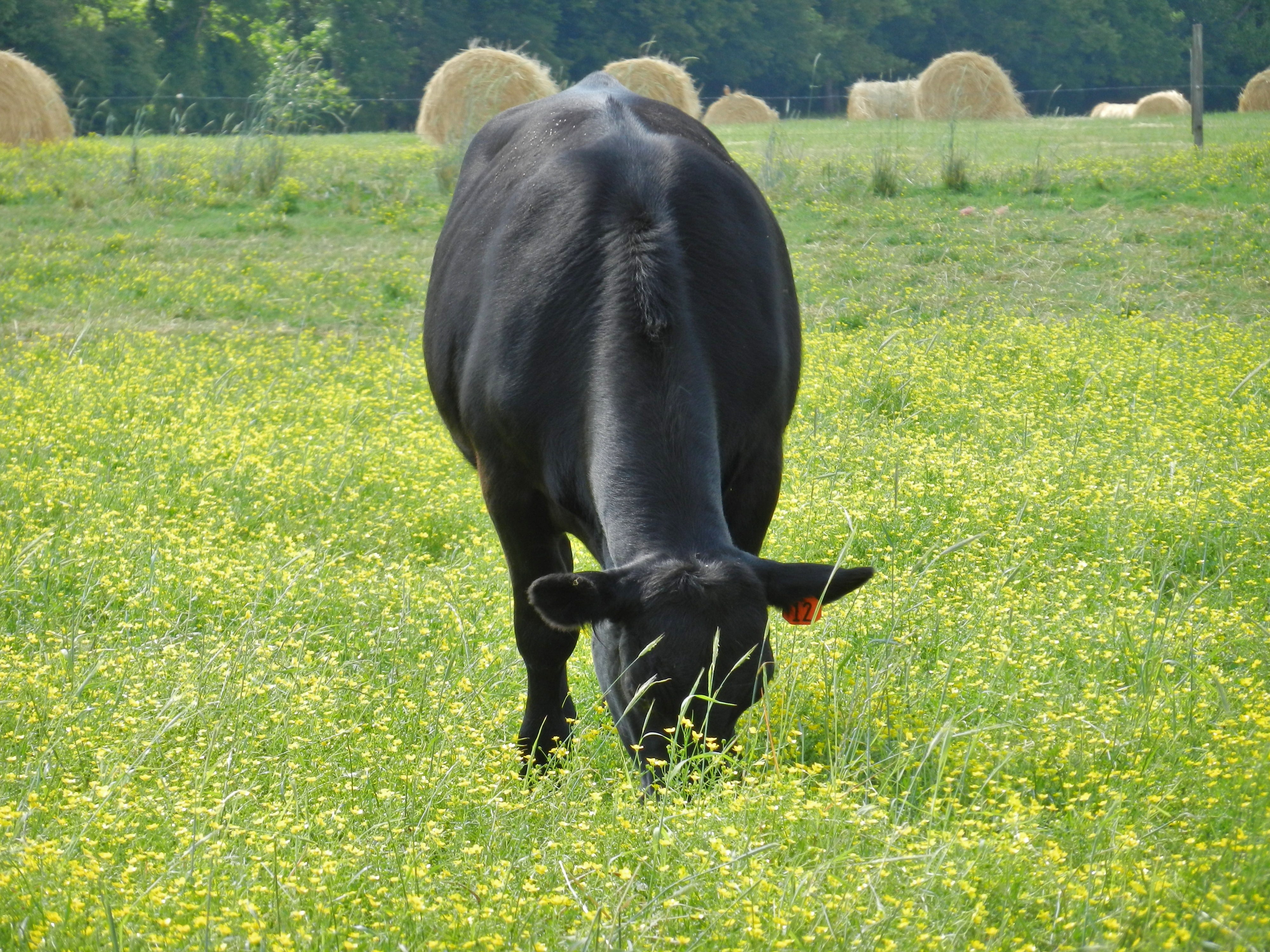
Angus Cow
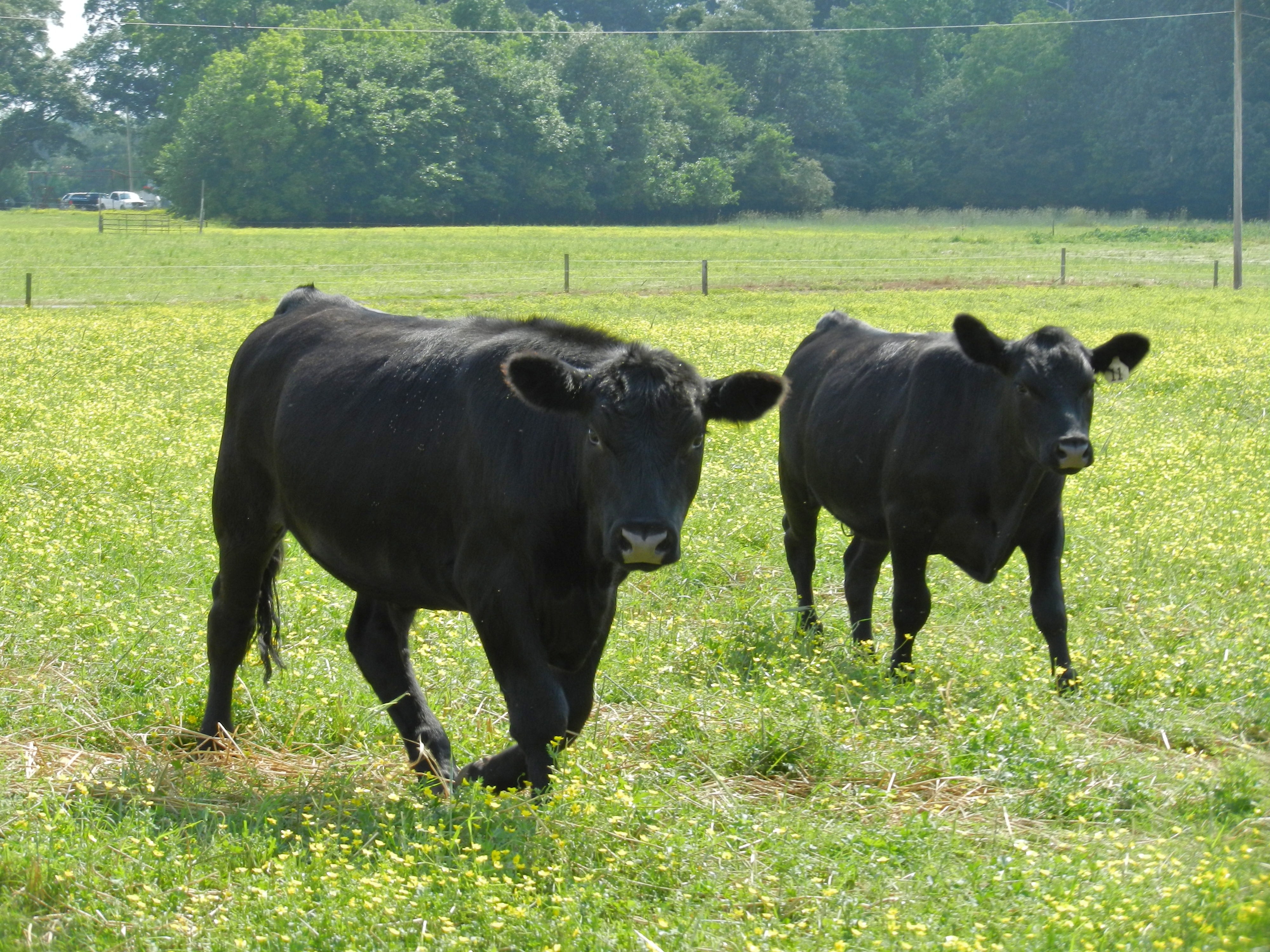
Angus Cattle
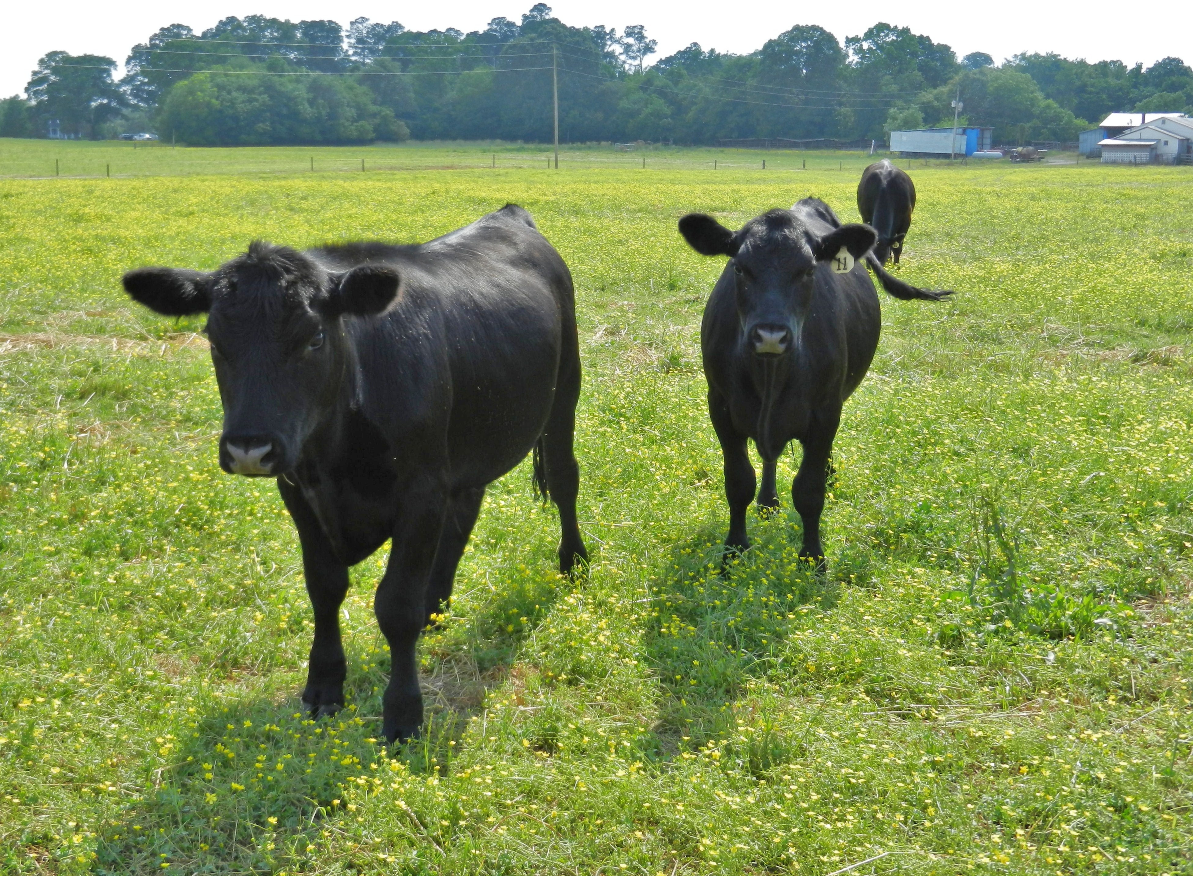
Angus Cattle
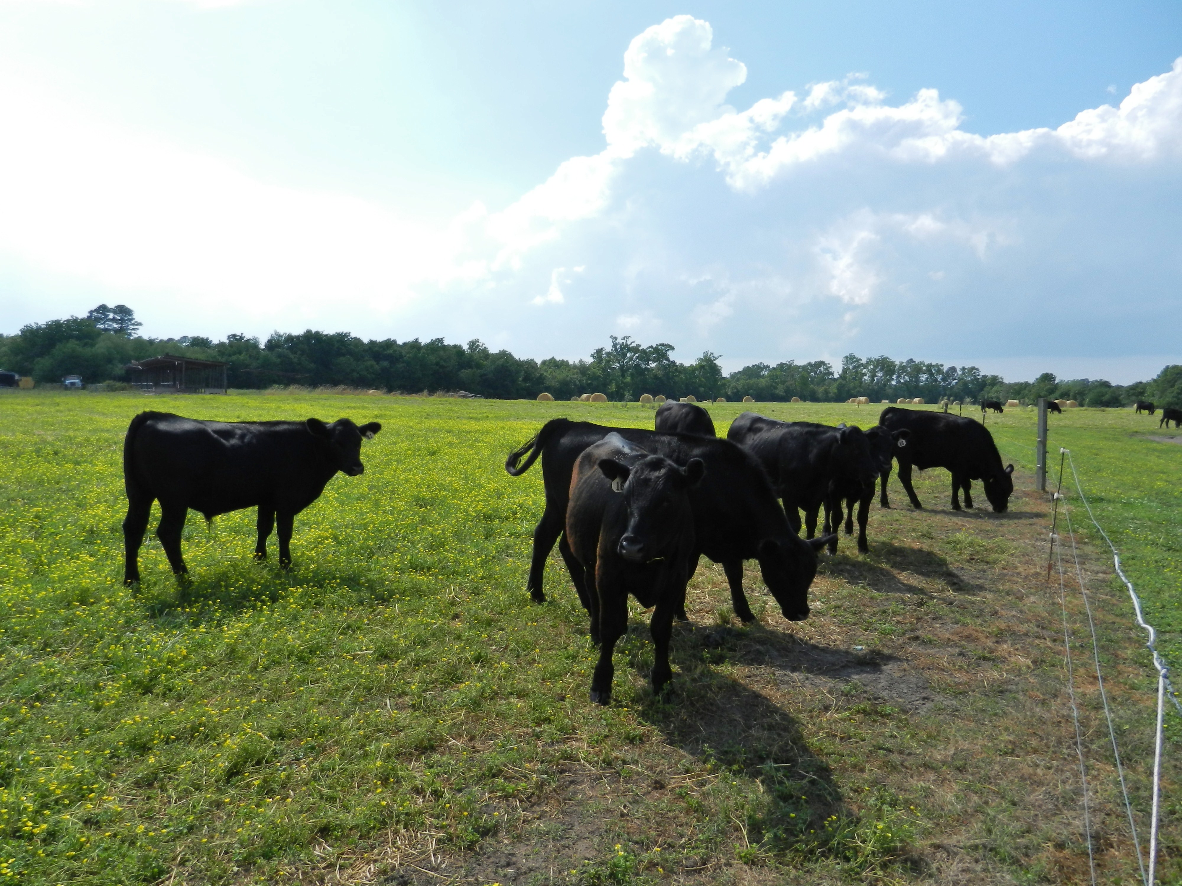
Angus Cattle
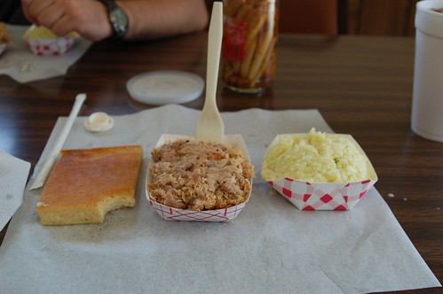
Skylight Inn, Ayden, NC: The Product, 2006

Face of the Grim Reaper
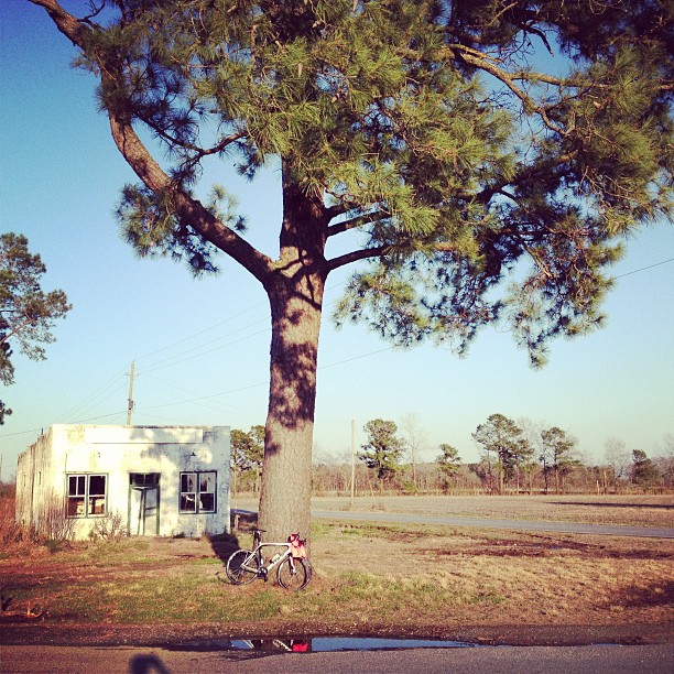
Stopped for a coffee & snack.
Topographic Map of Wall St, Grifton, NC, USA
Find elevation by address:

Places near Wall St, Grifton, NC, USA:
Water Street
Grifton
453 Queen St
6521 Fairway Dr
6352 Fairway Dr
5068 Tick Bite Rd
5152 Tick Bite Rd
Tick Bite
Tick Bite
4874 Tick Bite Rd
3854 Saw Mill Rd
6152 Marvin Taylor Rd
3373 Saw Mill Rd
3373 Saw Mill Rd
Grifton
Contentnea Neck
1044 Jacksontown Rd
Hugo Rd, Grifton, NC, USA
Allen Dr, Ayden, NC, USA
Ayden
Recent Searches:
- Elevation of Corso Fratelli Cairoli, 35, Macerata MC, Italy
- Elevation of Tallevast Rd, Sarasota, FL, USA
- Elevation of 4th St E, Sonoma, CA, USA
- Elevation of Black Hollow Rd, Pennsdale, PA, USA
- Elevation of Oakland Ave, Williamsport, PA, USA
- Elevation of Pedrógão Grande, Portugal
- Elevation of Klee Dr, Martinsburg, WV, USA
- Elevation of Via Roma, Pieranica CR, Italy
- Elevation of Tavkvetili Mountain, Georgia
- Elevation of Hartfords Bluff Cir, Mt Pleasant, SC, USA