Elevation of Walker Ridge Rd, Spruce Pine, NC, USA
Location: United States > North Carolina > Mitchell County > Grassy Creek > Spruce Pine >
Longitude: -82.12867
Latitude: 35.8701859
Elevation: 1144m / 3753feet
Barometric Pressure: 88KPa
Elevation Map:
Satellite Map:
Related Photos:

A Splash Of Gold

Crabtree Rainbow

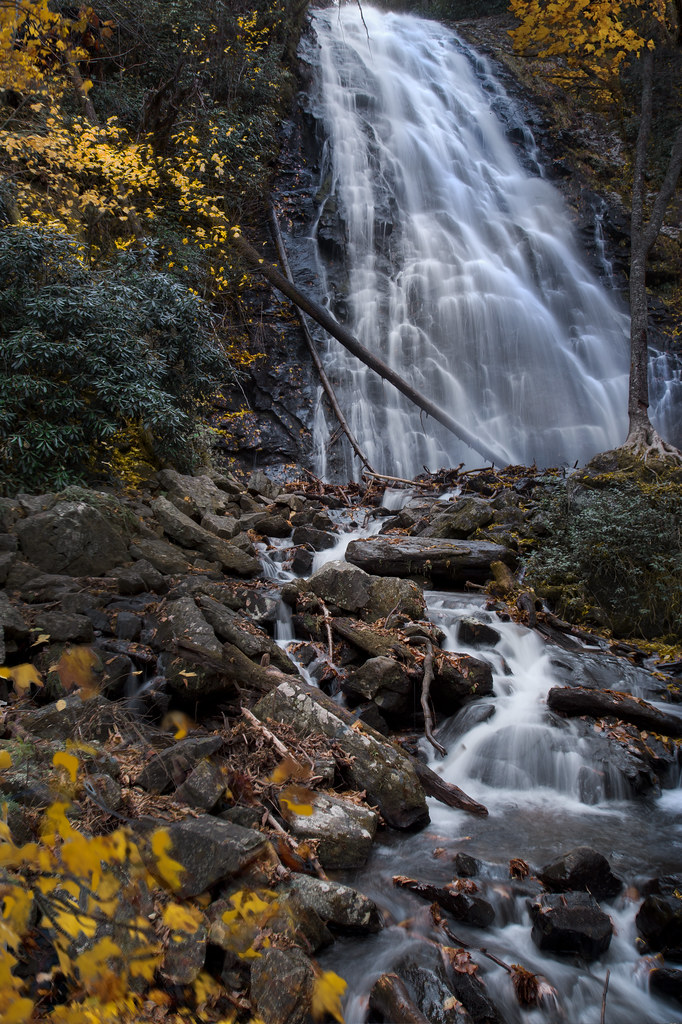
Roaring Fork Falls

Deep Gap Trail

Big Crabtree Creek

Ice and Water

The Rising

Tiny House with a View
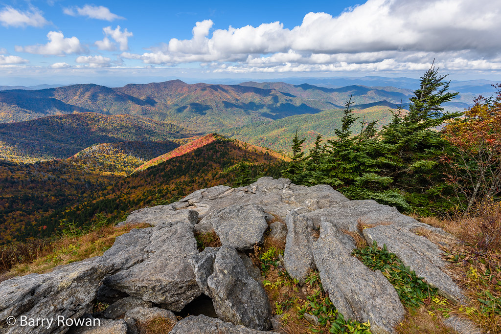
View from Mt. Mitchell

The Mushroom Hut

Our Town

The Orange Rock

Swirl Pool

Family Hike

Misty Rainbow

Crabtree Falls , On The Blue Ridge Parkway ©
autumn wanes at Crabtree Falls

Dreaming of Warmer Days!

Tom's Creek Falls 2

Near the Top

Icy Cascade

Fence posts

The Back Roads

Crabtree Falls, 5/30/15

Crabtree Falls NC

Whiteoak Creek Falls

Behind the Veil

Toms Creek Falls Pinhole
Topographic Map of Walker Ridge Rd, Spruce Pine, NC, USA
Find elevation by address:

Places near Walker Ridge Rd, Spruce Pine, NC, USA:
12 Walker Ridge Rd
896 Skyline Rd
536 Skyline Rd
536 Skyline Rd
536 Skyline Rd
536 Skyline Rd
536 Skyline Rd
Trails End Road
951 Pine Tree Rd
859 Pine Tree Rd #35
866 Pine Tree Rd
Skyline Road
459 Carvers Knob Rd
500 Carvers Knob Rd
500 Carvers Knob Rd
579 Carvers Knob Rd
Carvers Knob Road
856 Carvers Knob Rd
1028 Carvers Knob Rd
265 Hummingbird Ln
Recent Searches:
- Elevation of Corso Fratelli Cairoli, 35, Macerata MC, Italy
- Elevation of Tallevast Rd, Sarasota, FL, USA
- Elevation of 4th St E, Sonoma, CA, USA
- Elevation of Black Hollow Rd, Pennsdale, PA, USA
- Elevation of Oakland Ave, Williamsport, PA, USA
- Elevation of Pedrógão Grande, Portugal
- Elevation of Klee Dr, Martinsburg, WV, USA
- Elevation of Via Roma, Pieranica CR, Italy
- Elevation of Tavkvetili Mountain, Georgia
- Elevation of Hartfords Bluff Cir, Mt Pleasant, SC, USA