Elevation of Wald am Schoberpass, Austria
Location: Austria > Styria > Leoben District > Gemeinde Wald Am Schoberpaß >
Longitude: 14.6761410
Latitude: 47.4491756
Elevation: 848m / 2782feet
Barometric Pressure: 92KPa
Elevation Map:
Satellite Map:
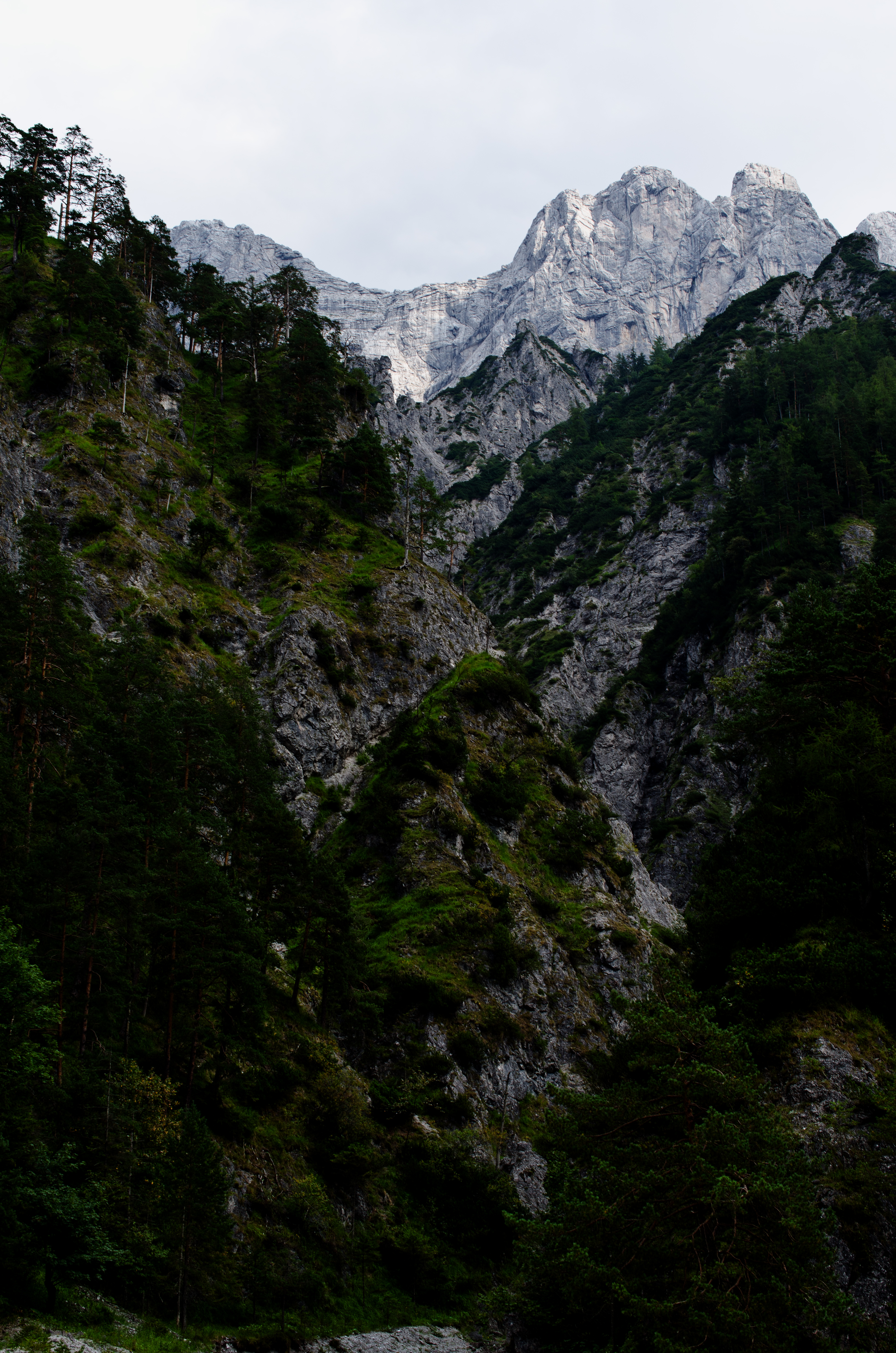
Related Photos:
Stare at the top
Topographic Map of Wald am Schoberpass, Austria
Find elevation by address:

Places near Wald am Schoberpass, Austria:
Gemeinde Wald Am Schoberpaß
Liesingau 15, Liesingau, Austria
Liesingau
Triebental
Austria
Triebental 45, Triebental, Austria
Gaal 40, Gaal, Austria
Gaal
Gemeinde Gaal
Gemeinde Hohentauern
Hohentauern
Trieben
Hauptpl. 6, Trieben, Austria
Seckau
Leims
Hohentauern 144
Sankt Johann Am Tauern
108/1
Leims
Styria
Recent Searches:
- Elevation of Corso Fratelli Cairoli, 35, Macerata MC, Italy
- Elevation of Tallevast Rd, Sarasota, FL, USA
- Elevation of 4th St E, Sonoma, CA, USA
- Elevation of Black Hollow Rd, Pennsdale, PA, USA
- Elevation of Oakland Ave, Williamsport, PA, USA
- Elevation of Pedrógão Grande, Portugal
- Elevation of Klee Dr, Martinsburg, WV, USA
- Elevation of Via Roma, Pieranica CR, Italy
- Elevation of Tavkvetili Mountain, Georgia
- Elevation of Hartfords Bluff Cir, Mt Pleasant, SC, USA