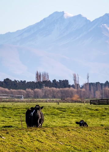
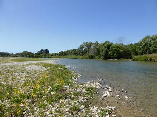
Elevation of Waitaki Bridge, New Zealand
Location: New Zealand > Otago >
Longitude: 171.096468
Latitude: -44.938776
Elevation: 13m / 43feet
Barometric Pressure: 101KPa
Related Photos:
Topographic Map of Waitaki Bridge, New Zealand
Find elevation by address:

Places near Waitaki Bridge, New Zealand:
Waitaki Waters Holiday Park
329 Kaik Rd
6/329 Kaik Rd
54 Parsonage Rd
Waitaki District
32 Lagoon Dr
Salisbury
Redruth
68 King St
12 Richards Pl
Kensington
85 Domain Ave
Woodlands Road
43a Craigie Ave
13 Queen St
31 Craigie Ave
Special School Road
8 Regent St
41 Raymond St
35 Raymond St
Recent Searches:
- Elevation of Corso Fratelli Cairoli, 35, Macerata MC, Italy
- Elevation of Tallevast Rd, Sarasota, FL, USA
- Elevation of 4th St E, Sonoma, CA, USA
- Elevation of Black Hollow Rd, Pennsdale, PA, USA
- Elevation of Oakland Ave, Williamsport, PA, USA
- Elevation of Pedrógão Grande, Portugal
- Elevation of Klee Dr, Martinsburg, WV, USA
- Elevation of Via Roma, Pieranica CR, Italy
- Elevation of Tavkvetili Mountain, Georgia
- Elevation of Hartfords Bluff Cir, Mt Pleasant, SC, USA


