Elevation of Wahrenberger Straße 1, Wittenberge, Germany

Location: Germany > Brandenburg > Wittenberge >

Longitude: 11.7139

Latitude: 52.98924

Elevation: 38m / 125feet

Barometric Pressure: 101KPa

Elevation Map:

elevation map of Wahrenberger Straße 1, Wittenberge, Germany

Satellite Map:

Satellite map of Wahrenberger Straße 1, Wittenberge, Germany

Related Photos:

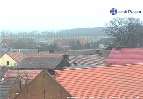
city trip travel panorama germany tv video view landmark rühstädt earthtvcom earthtvstorksofrühstädt villageofrühstädt
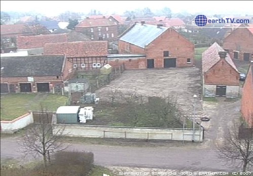
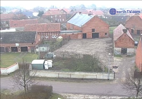
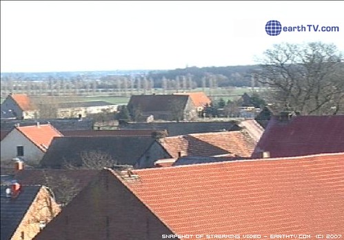
Video from earthTV.com - Storks of Rühstädt, Rühstädt, Germany (Jan 21, 20 08)
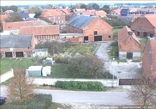
city trip travel panorama germany tv video view landmark rühstädt earthtvcom earthtvstorksofrühstädt villageofrühstädt
Video from earthTV.com - Storks of Rühstädt, Rühstädt, Germany (Oct 23, 20 07)
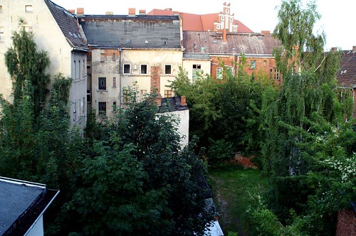
germany deutschland hometown ghosttown wittenberge heimatstadt geisterstadt
view in the backyard
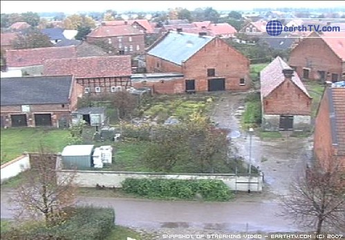
city trip travel panorama germany tv video view landmark rühstädt earthtvcom earthtvstorksofrühstädt villageofrühstädt
Video from earthTV.com - Storks of Rühstädt, Rühstädt, Germany (Oct 30, 20 07)
city trip travel panorama germany tv video view landmark rühstädt earthtvcom earthtvstorksofrühstädt villageofrühstädt
Video from earthTV.com - Storks of Rühstädt, Rühstädt, Germany (Feb 14, 20 08)
city trip travel panorama germany tv video view landmark rühstädt earthtvcom earthtvstorksofrühstädt villageofrühstädt
Video from earthTV.com - Storks of Rühstädt, Rühstädt, Germany (Feb 14, 20 08)
city trip travel panorama germany tv video view landmark rühstädt earthtvcom earthtvstorksofrühstädt villageofrühstädt
Video from earthTV.com - Storks of Rühstädt, Rühstädt, Germany (Feb 3, 200 8)
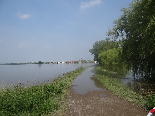
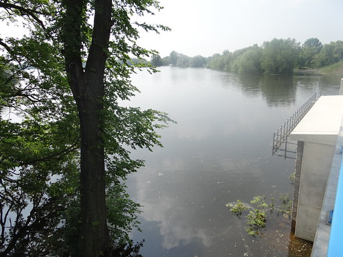
hochwasser wittenberge
Hochwasser in Wittenberge
hochwasser wittenberge
Hochwasser in Wittenberge
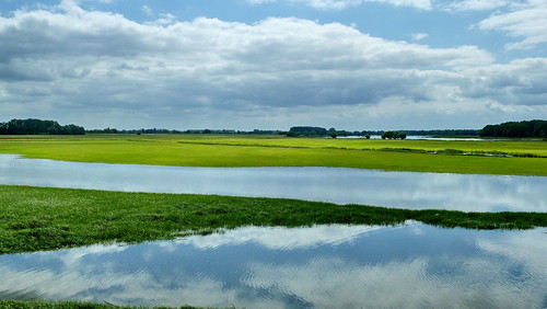
hochwasser wittenberge
Hochwasser in Wittenberge
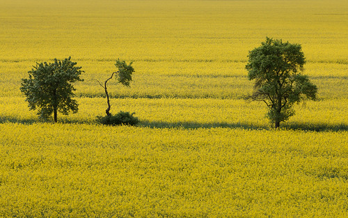
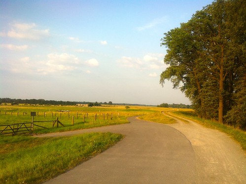
green feld gelb raps elbe yello wittenberge prignitz elberadweg elbtalaue
Yello 'n' green
square squareformat rise iphoneography instagramapp uploaded:by=instagram
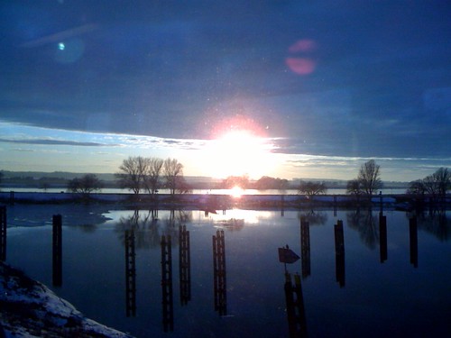
More #frost, #trees, and #sun
valencia square squareformat iphoneography instagramapp uploaded:by=instagram
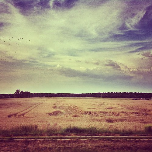
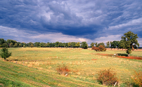
Flattened harvest.
mygearandme mygearandmepremium mygearandmebronze mygearandmesilver
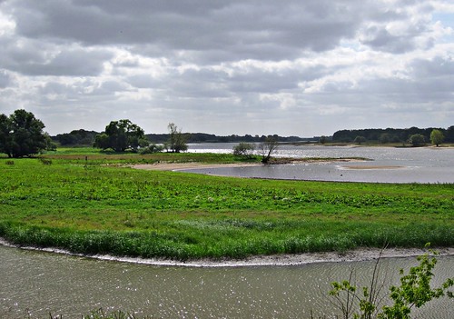
An der Elbe
mouth deutschland brandenburg elbe wittenberge mündung stepenitz karthane
Mündung der Stepenitz in die Elbe
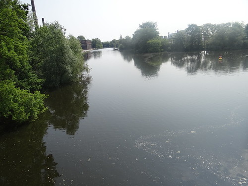
bridge deutschland brücke brandenburg railwaybridge eisenbahnbrücke wittenberge stepenitz karthane
die Stepenitz in Wittenberge
fahrrad elbe biosphärenreservat hoehbeck
Elbe - Böser Ort (km 477)
winter sunset sky clouds train elbe iphone wittenberge
Sonnenuntergang, Elbe bei Wittenberge
2003 germany deutschland brandenburg deu grenzland rühstädt
Grenzland Elbe
germany landscape deutschland scenery paisaje alemania paysage landschaft allemagne elbe radweg mecklenburgvorpommern labe flusslandschaft elberadweg hitzackernachwittenberge
20140601 Hitzacker nach Wittenberge Elbe Radweg (56)
germany deutschland brandenburg elbe photostream lanz lütkenwisch
Lütkenwisch
2003 germany ruehstaett
What would man do without James Clerk Maxwell, who presented the first durable colour photograph on 17.05.1861
panorama nature natur ernte prignitz
in the prignitz, there's schee
germany landscape deutschland scenery paisaje alemania paysage landschaft allemagne elbe radweg mecklenburgvorpommern labe flusslandschaft elberadweg hitzackernachwittenberge
20140601 Hitzacker nach Wittenberge Elbe Radweg (59)
germany landscape deutschland scenery paisaje alemania paysage landschaft allemagne elbe radweg mecklenburgvorpommern labe flusslandschaft elberadweg hitzackernachwittenberge
20140601 Hitzacker nach Wittenberge Elbe Radweg (58)
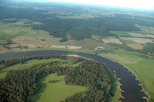
germany deutschland aerial brandenburg deu luftbild c172 luftaufnahme hfc defll cumlosen
Elbe bei Cumlosen
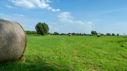
germany landscape deutschland scenery farming landwirtschaft paisaje alemania paysage landschaft allemagne brandenburg elbe radweg agricultura agricultur labe strohballen baleofstraw elberadweg havelbergnachwittenberge
20130822 Brandenburg Strohballen Havelberg nach Wittenberge Elbe Radweg (65)
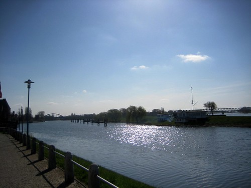
himmel blau fluss elbe wittenberge
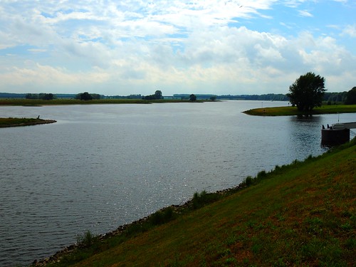
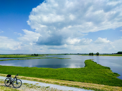
Elbe bei Wittenberge