Elevation map of Wadi Dar Al Zaraey, Ras Gharib, Red Sea Governorate, Egypt
Location: Egypt > Red Sea Governorate > Ras Gharib >
Longitude: 33.3002745
Latitude: 28.0267975
Elevation: 55m / 180feet
Barometric Pressure: 101KPa
Elevation Map:
Satellite Map:
Related Photos:

Base 1
Way down we go 2
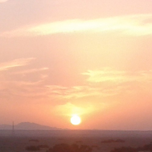
Meget Smuk Solnedgang #Solnedgang #Sol#Bjergene #Red_Sea #Redsea_Mountains

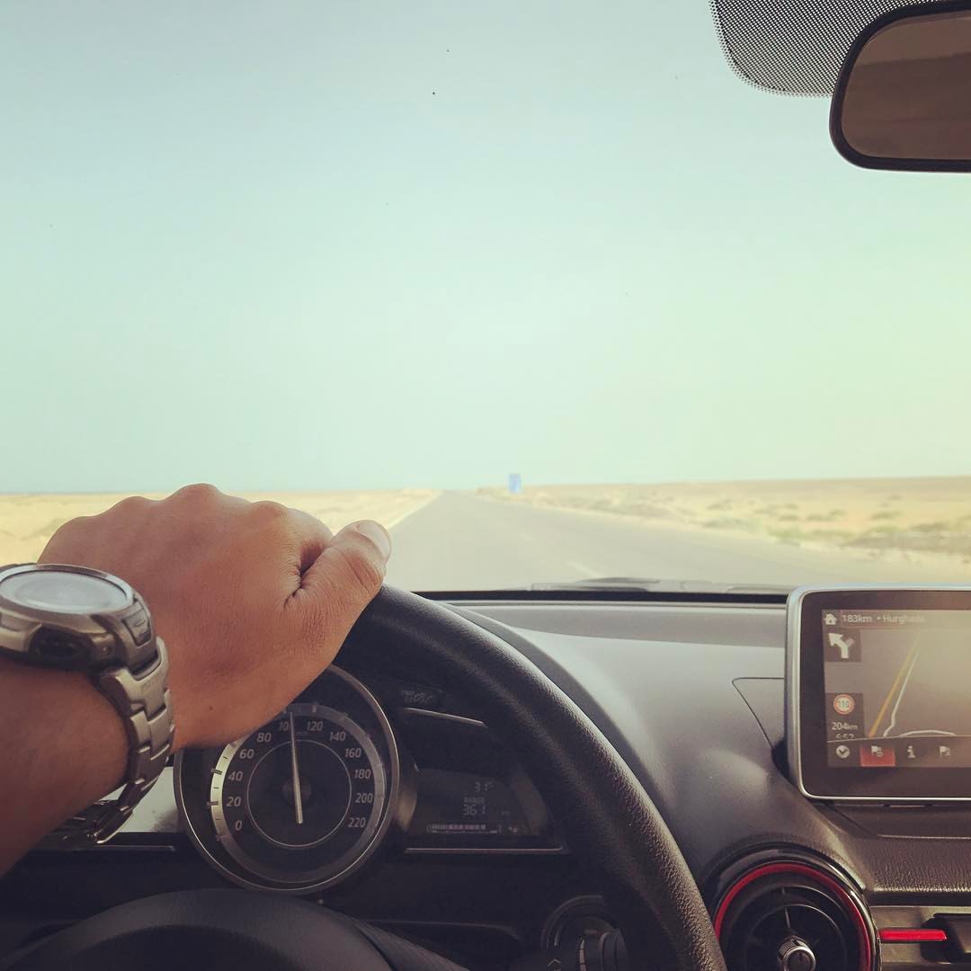
Roadside north of el Gouna Egypt

me 1982 egypt
Topographic Map of Wadi Dar Al Zaraey, Ras Gharib, Red Sea Governorate, Egypt
Find elevation by address:

Places in Wadi Dar Al Zaraey, Ras Gharib, Red Sea Governorate, Egypt:
Places near Wadi Dar Al Zaraey, Ras Gharib, Red Sea Governorate, Egypt:
Recent Searches:
- Elevation of Corso Fratelli Cairoli, 35, Macerata MC, Italy
- Elevation of Tallevast Rd, Sarasota, FL, USA
- Elevation of 4th St E, Sonoma, CA, USA
- Elevation of Black Hollow Rd, Pennsdale, PA, USA
- Elevation of Oakland Ave, Williamsport, PA, USA
- Elevation of Pedrógão Grande, Portugal
- Elevation of Klee Dr, Martinsburg, WV, USA
- Elevation of Via Roma, Pieranica CR, Italy
- Elevation of Tavkvetili Mountain, Georgia
- Elevation of Hartfords Bluff Cir, Mt Pleasant, SC, USA