Elevation of Wadi Al Maawil municipality, Hibra, Oman
Location: Oman > Al Batinah North Governorate > Hibra >
Longitude: 57.8354279
Latitude: 23.4749882
Elevation: 204m / 669feet
Barometric Pressure: 99KPa
Elevation Map:
Satellite Map:
Related Photos:

Wadia Al-Towarah, Nakhl, Oman

MS5 Oman 2018 18

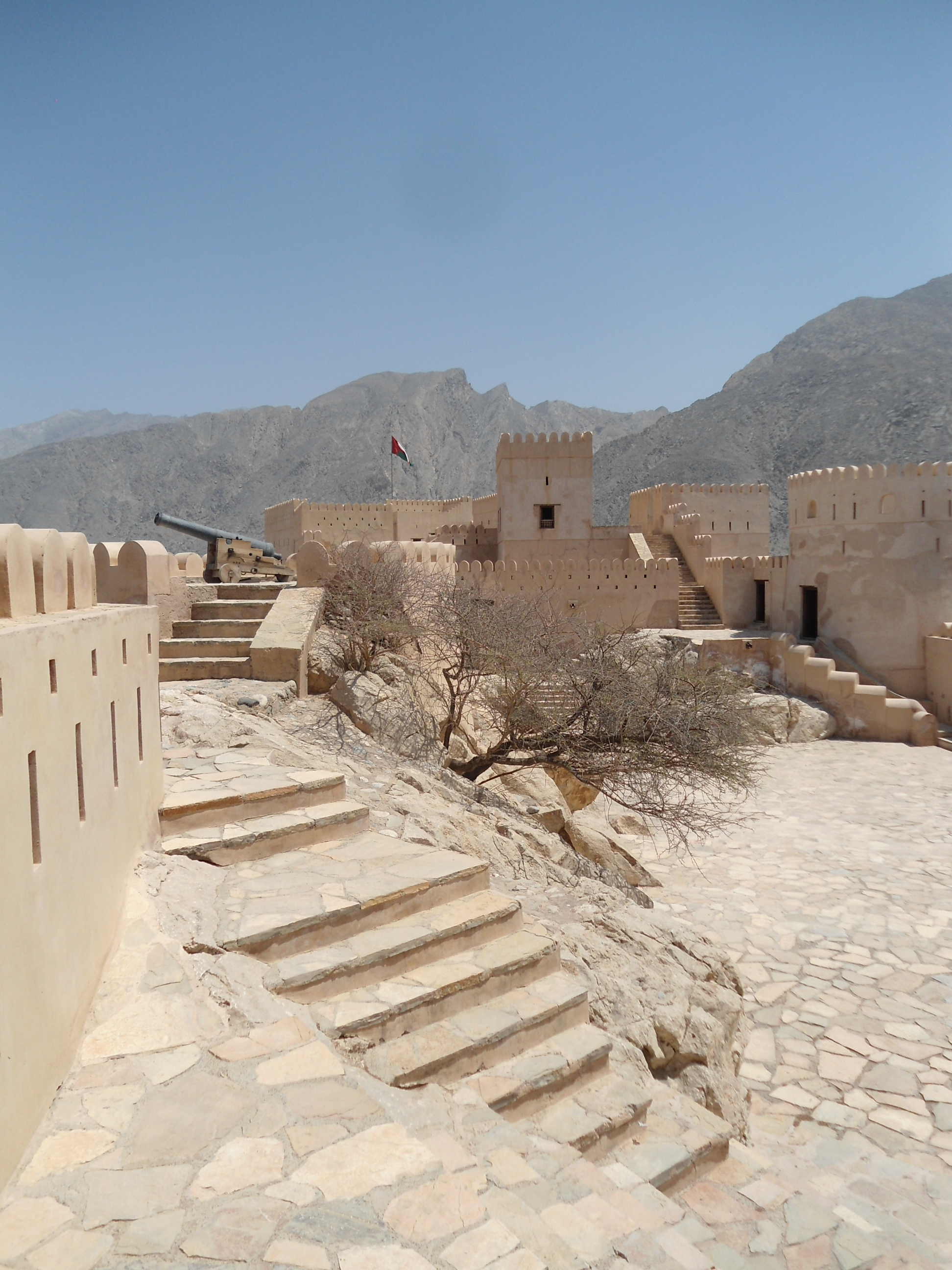
Walking the Walls

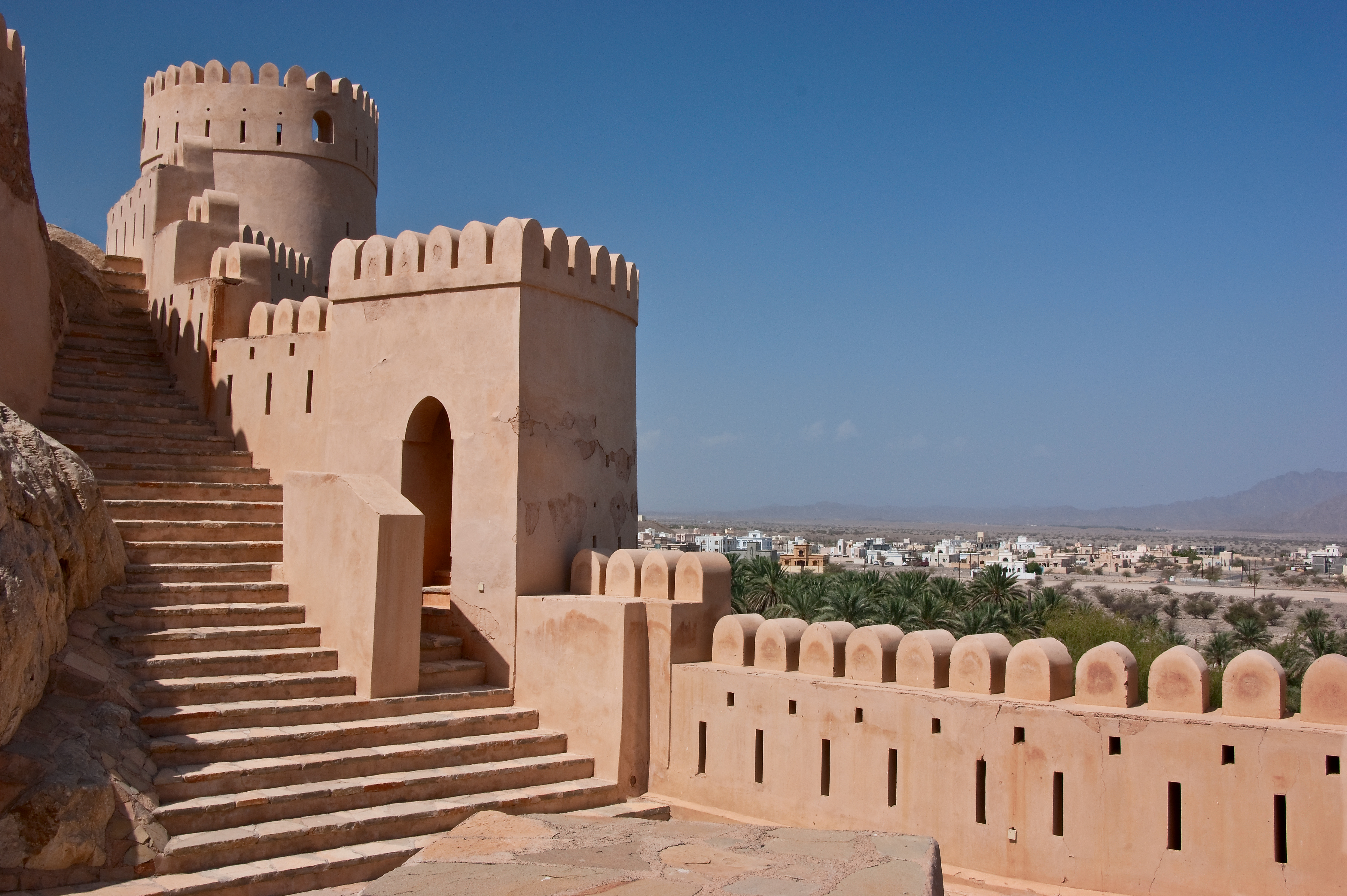
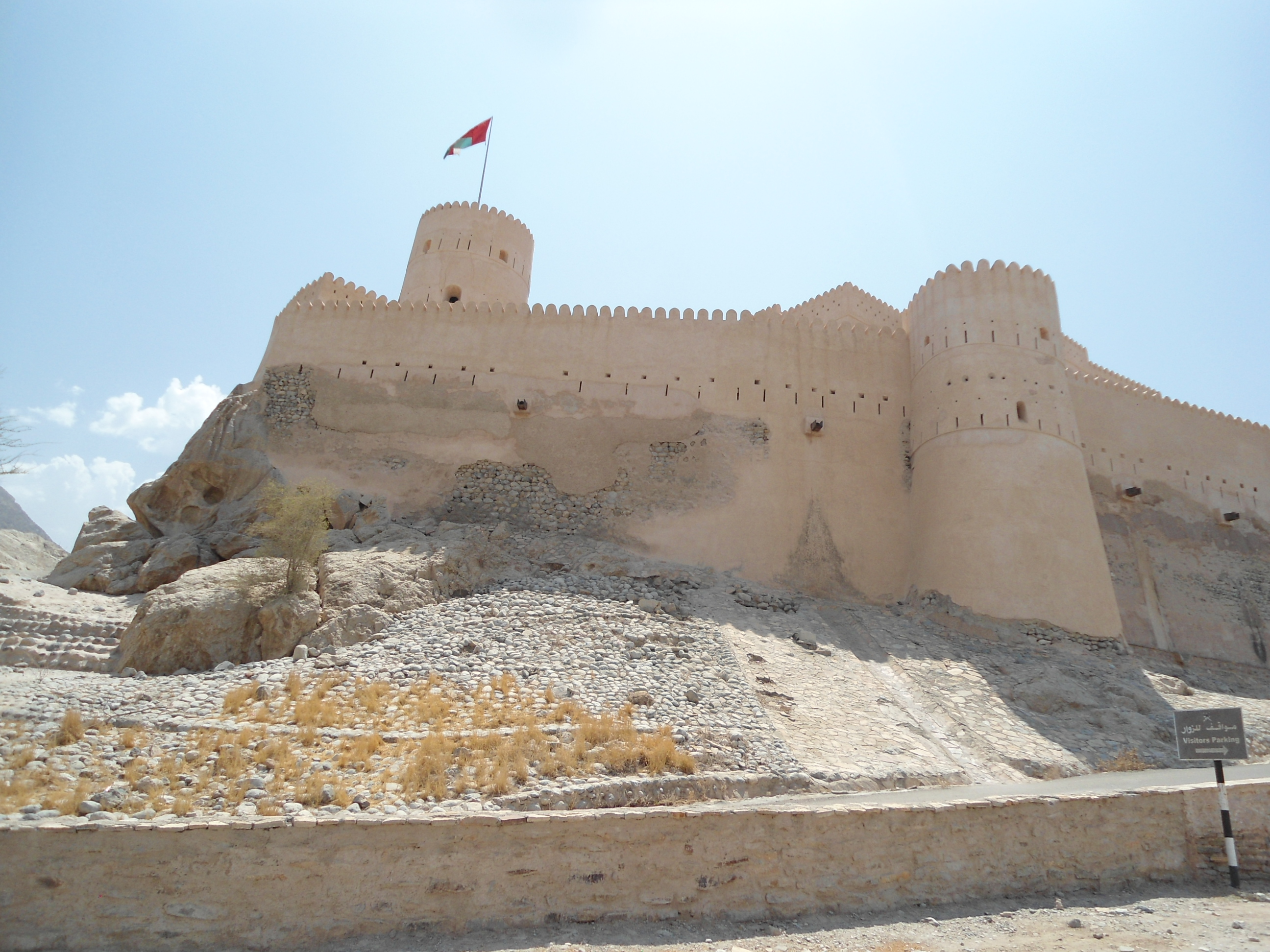
Nakhl fort

Fort on a rock

Milli and the date plantations
Nakhal Fort

View from Nakhl Fort
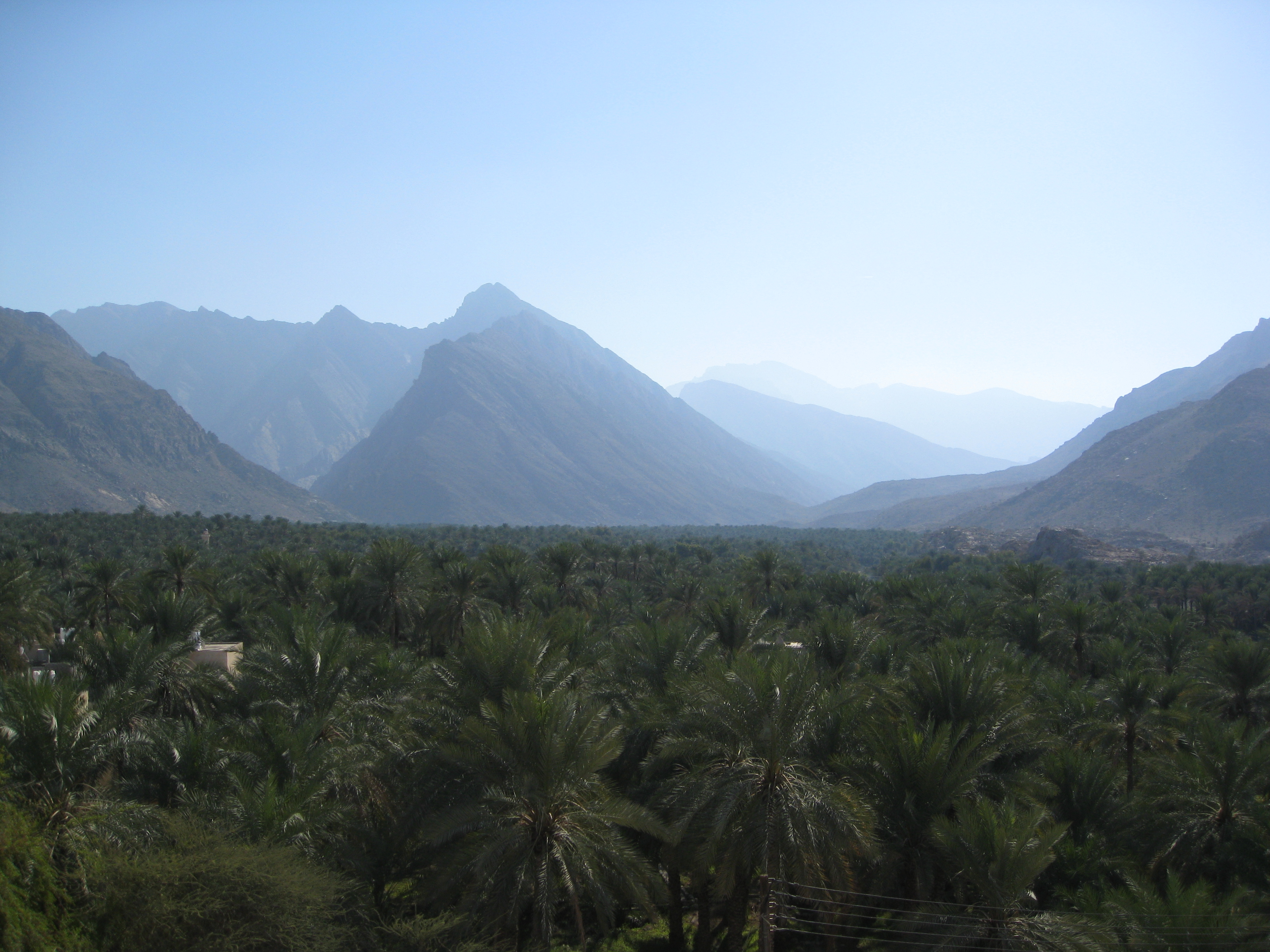
View from Nakhal Fort
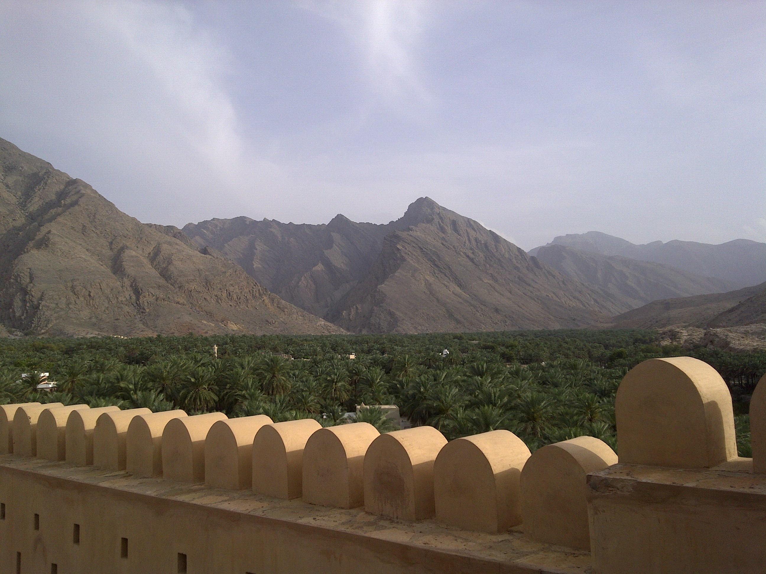
mountains from the fort

Nakhal Fort, Oman
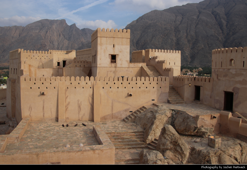
Nakhal Fort, Oman

Oasis in Nakhal/Oman, 16.12.2018

Athawarah Spring (Oman)

Nakhal, Oman

The work of Falaj

MS5 Oman 2018

MS5 Oman 032018

Oman // Wadi Bani Awf - Wadi Bani Sahtan

Wadi Rum near Nakhal
RCF Reisen - Außenansicht Nakhal Fort
RCF Reisen - Fort von Nakhal

Nakhal Fort

Thowarah oasis and picnic area - P1030331.JPG

Nakhal Fort

Nakhal Fort
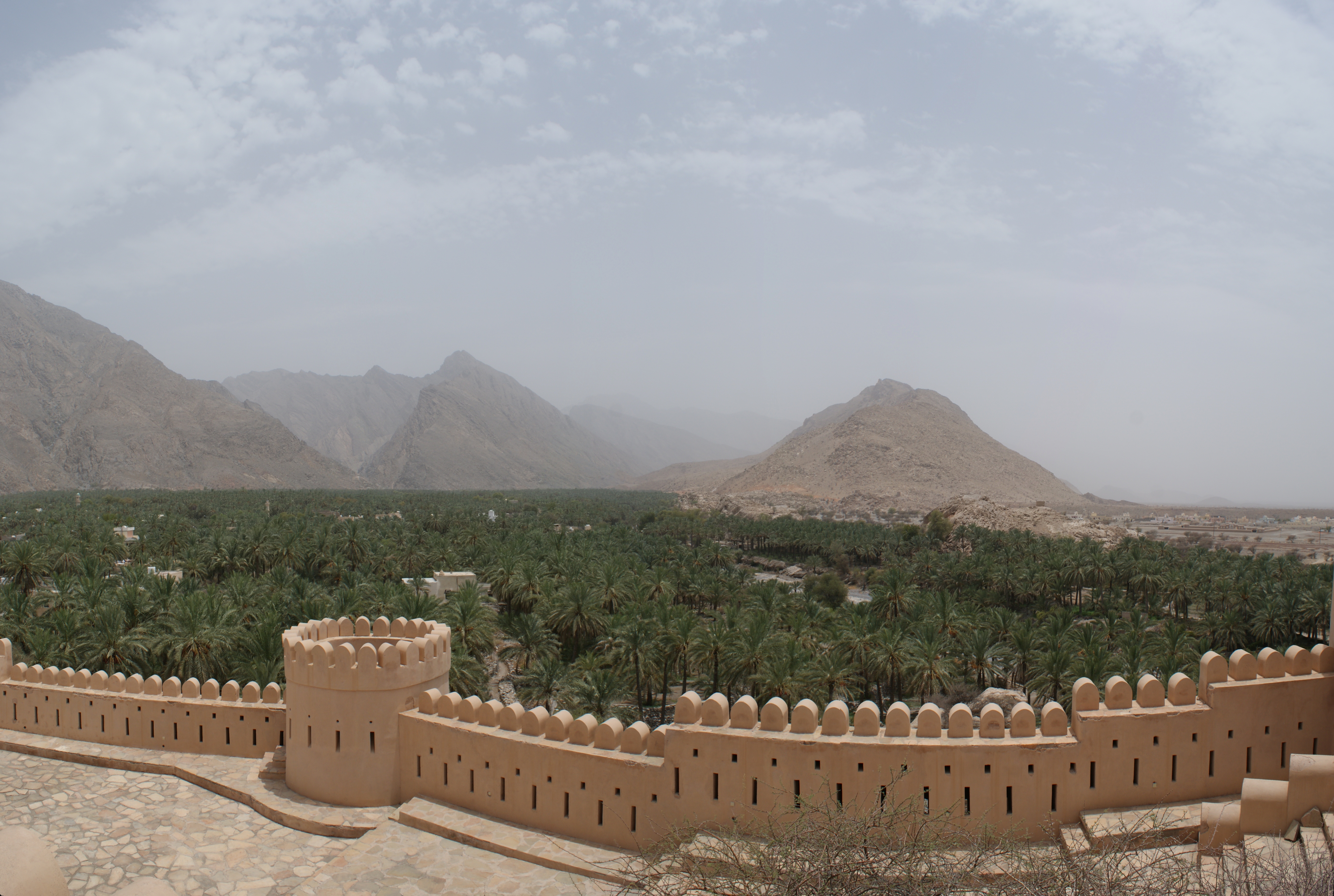
Nakhl Fort palms
Topographic Map of Wadi Al Maawil municipality, Hibra, Oman
Find elevation by address:

Places near Wadi Al Maawil municipality, Hibra, Oman:
Hibra
Nakhl
Barka
Seeb
Al Mawaleh South
Hayl Al Junubial Street
2512 Way
City Center Hotel
Al Bahja Cinema
Sayq
Anantara Al Jabal Al Akhdar Resort
Al Mouj Golf
Muscat Governorate
Al Ghubrah South
Al Jarda
Jabreen Complex
Muscat
Al Khuwayr South
Al Khuwair Street
Al Amarat
Recent Searches:
- Elevation of Corso Fratelli Cairoli, 35, Macerata MC, Italy
- Elevation of Tallevast Rd, Sarasota, FL, USA
- Elevation of 4th St E, Sonoma, CA, USA
- Elevation of Black Hollow Rd, Pennsdale, PA, USA
- Elevation of Oakland Ave, Williamsport, PA, USA
- Elevation of Pedrógão Grande, Portugal
- Elevation of Klee Dr, Martinsburg, WV, USA
- Elevation of Via Roma, Pieranica CR, Italy
- Elevation of Tavkvetili Mountain, Georgia
- Elevation of Hartfords Bluff Cir, Mt Pleasant, SC, USA