Elevation of Wada, Maizuru-shi, Kyōto-fu -, Japan
Location: Japan > Kyoto Prefecture > Maizuru >
Longitude: 135.349500
Latitude: 35.4727076
Elevation: 41m / 135feet
Barometric Pressure: 101KPa
Elevation Map:
Satellite Map:
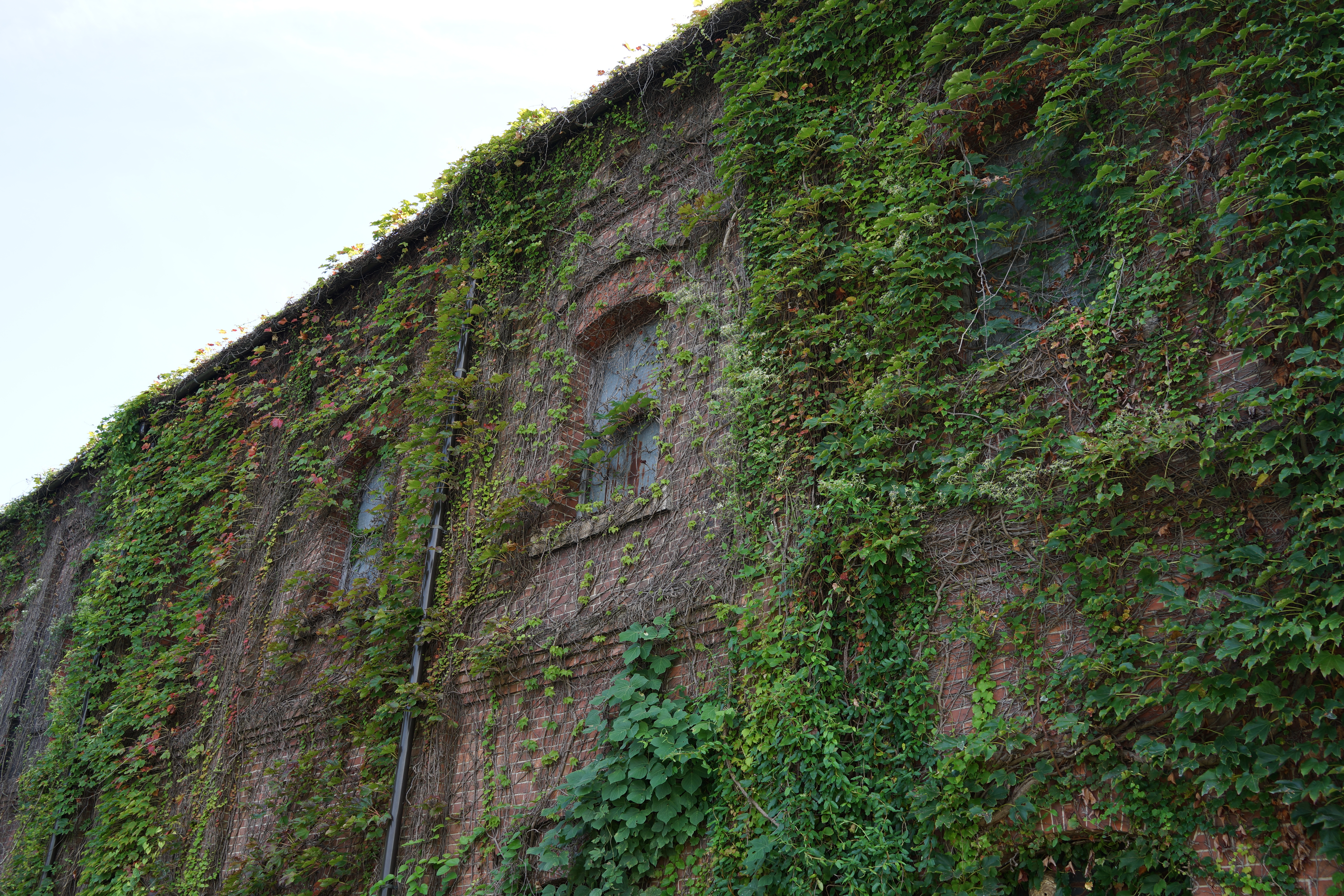
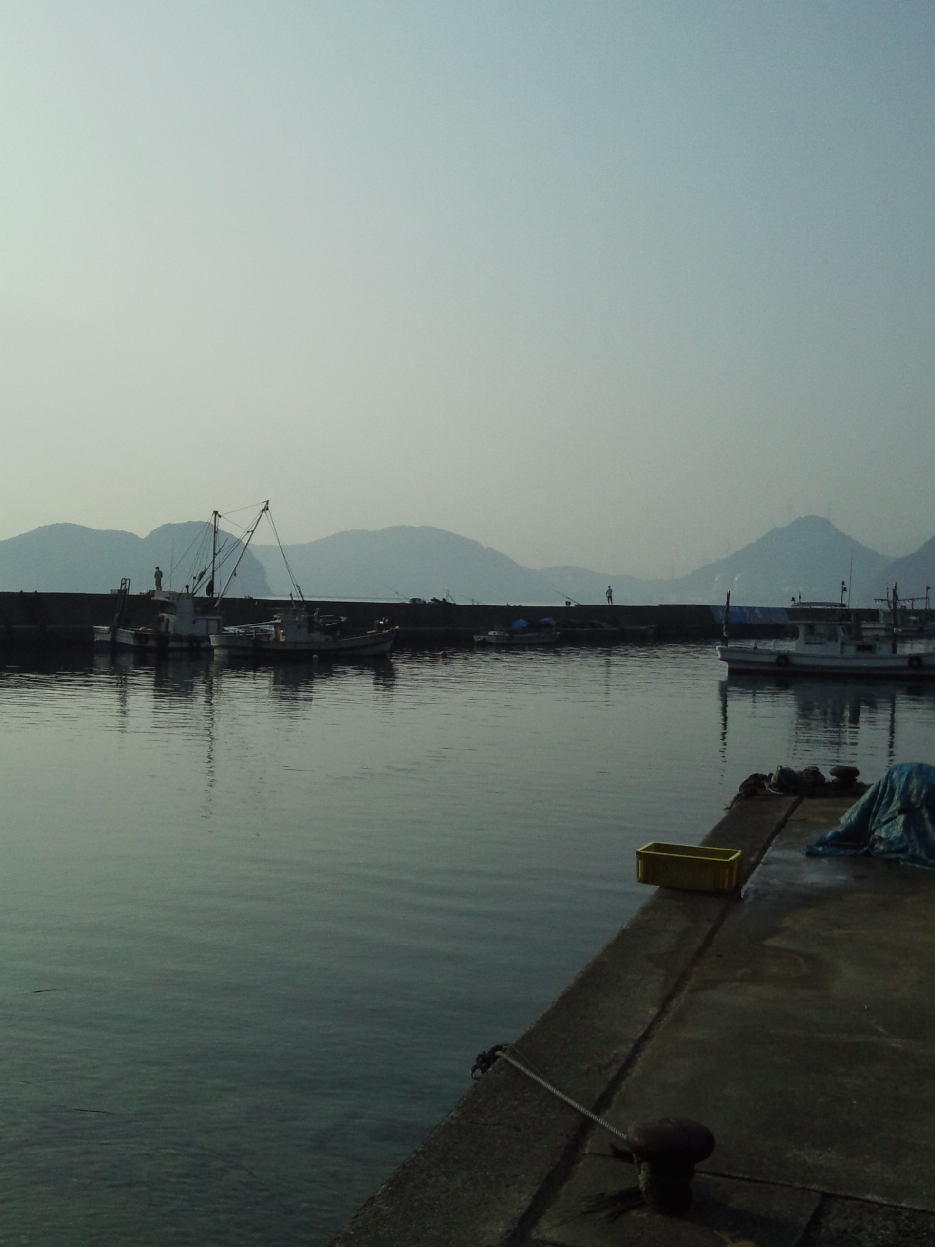
Related Photos:
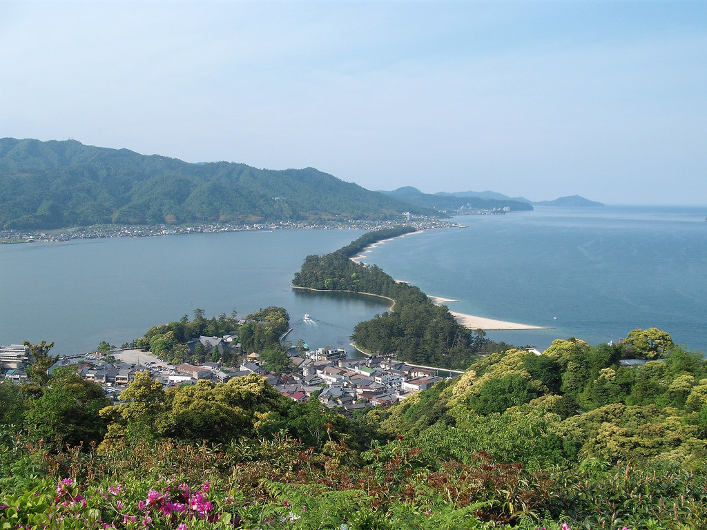
View of the Bridge to Heaven, Amanohashidate

Under The Open Sky
今日は朝から良い天気です。
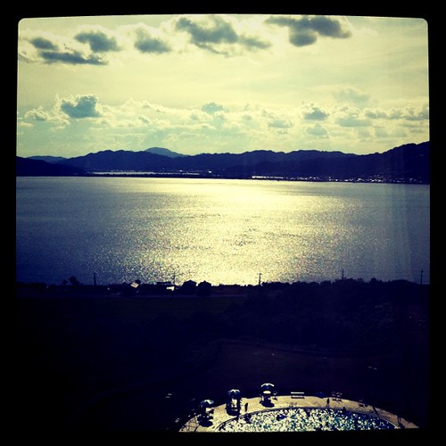
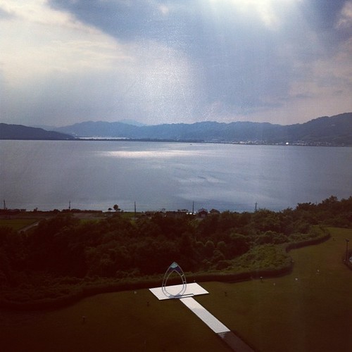
部屋からの眺め
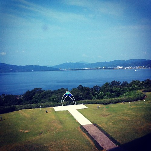
Hibiki, Takahama
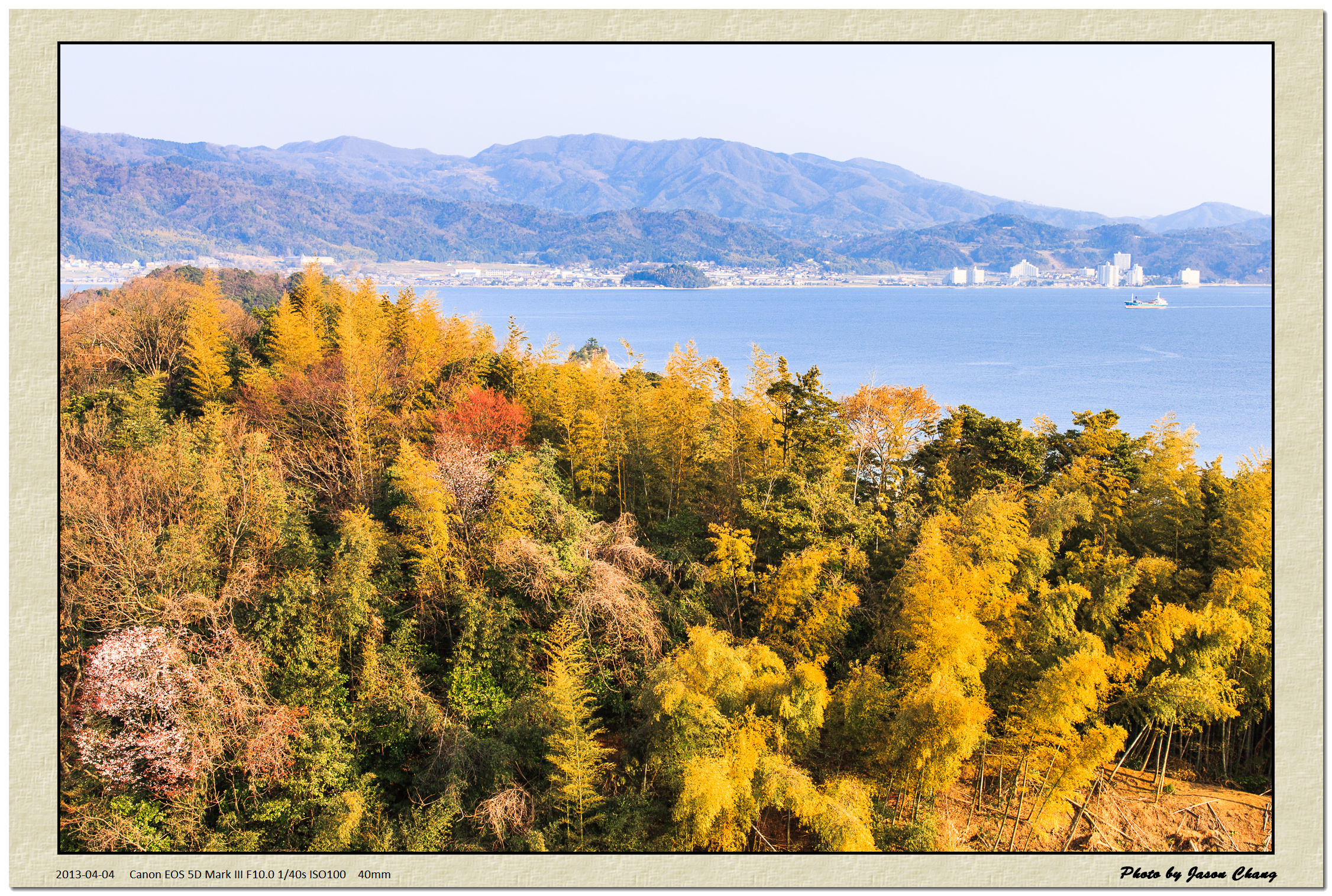
2013_04_04EOS 5D Mark III3192_1
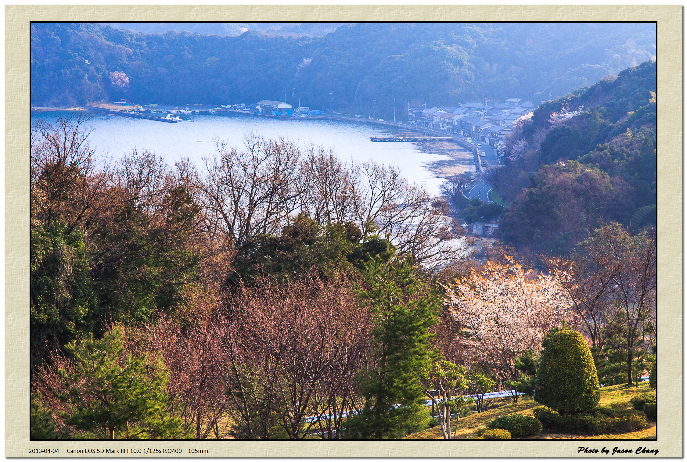
2013_04_04EOS 5D Mark III3194_1
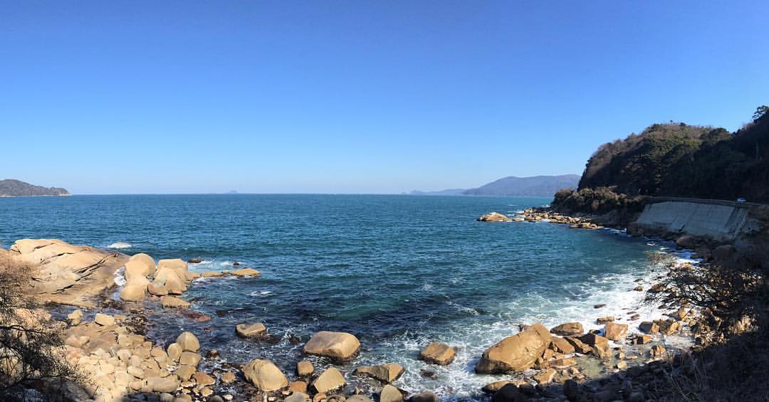
#安寿ロマン海道 #奈具海岸
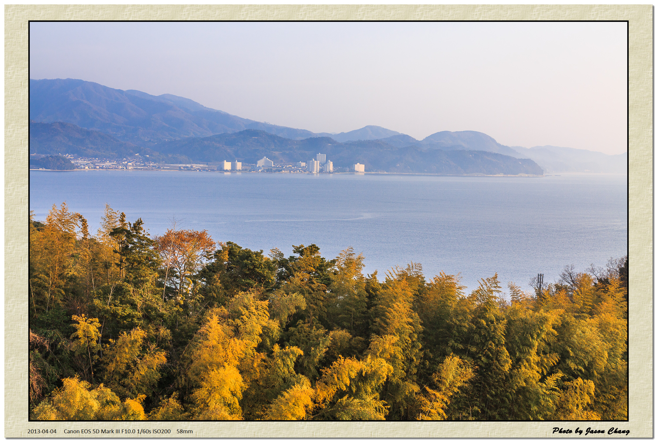
2013_04_04EOS 5D Mark III3189_1
今年もお世話になります

北近畿タンゴ鉄道
Hibiki, Takahama

Hibiki, Takahama

2013_04_04EOS 5D Mark III3191_1
2014-03-09 14.11.29
うみんちゅ。 #インスタ倶楽部 #MeetMeJapan #太陽にほえろ #わん #ぱぱぱぱおーん #Gパン #松田優作 #マカロニ #サラダ #マカロン #砂糖の塊 #はったあつし #優しさの塊 #半分はバファリン #もう半分は砂糖の塊

写真 Apr 20, 14 39 49
DSC04096.jpg
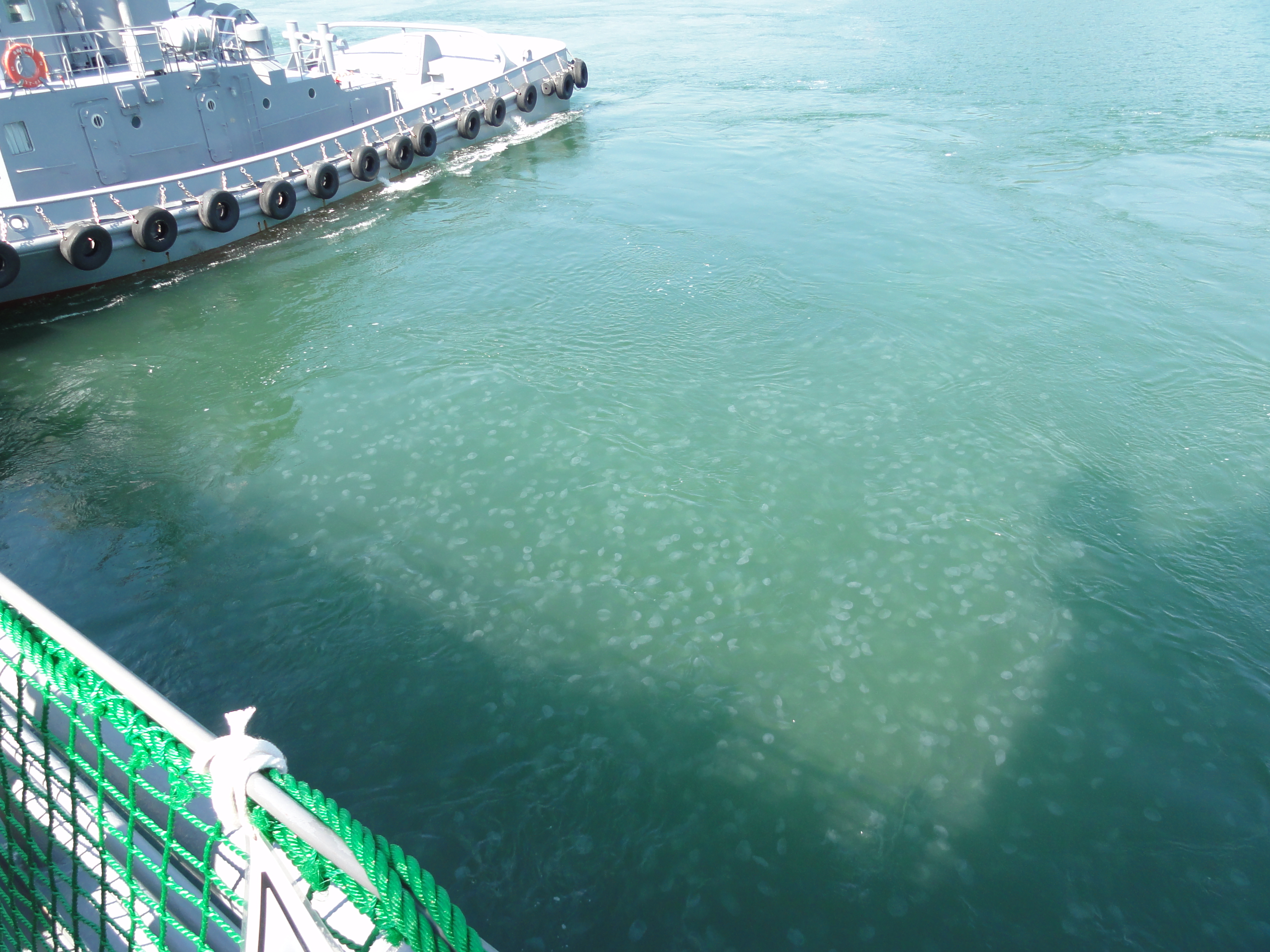
恐ろしい量のくらげ
上瀬で鯵釣り
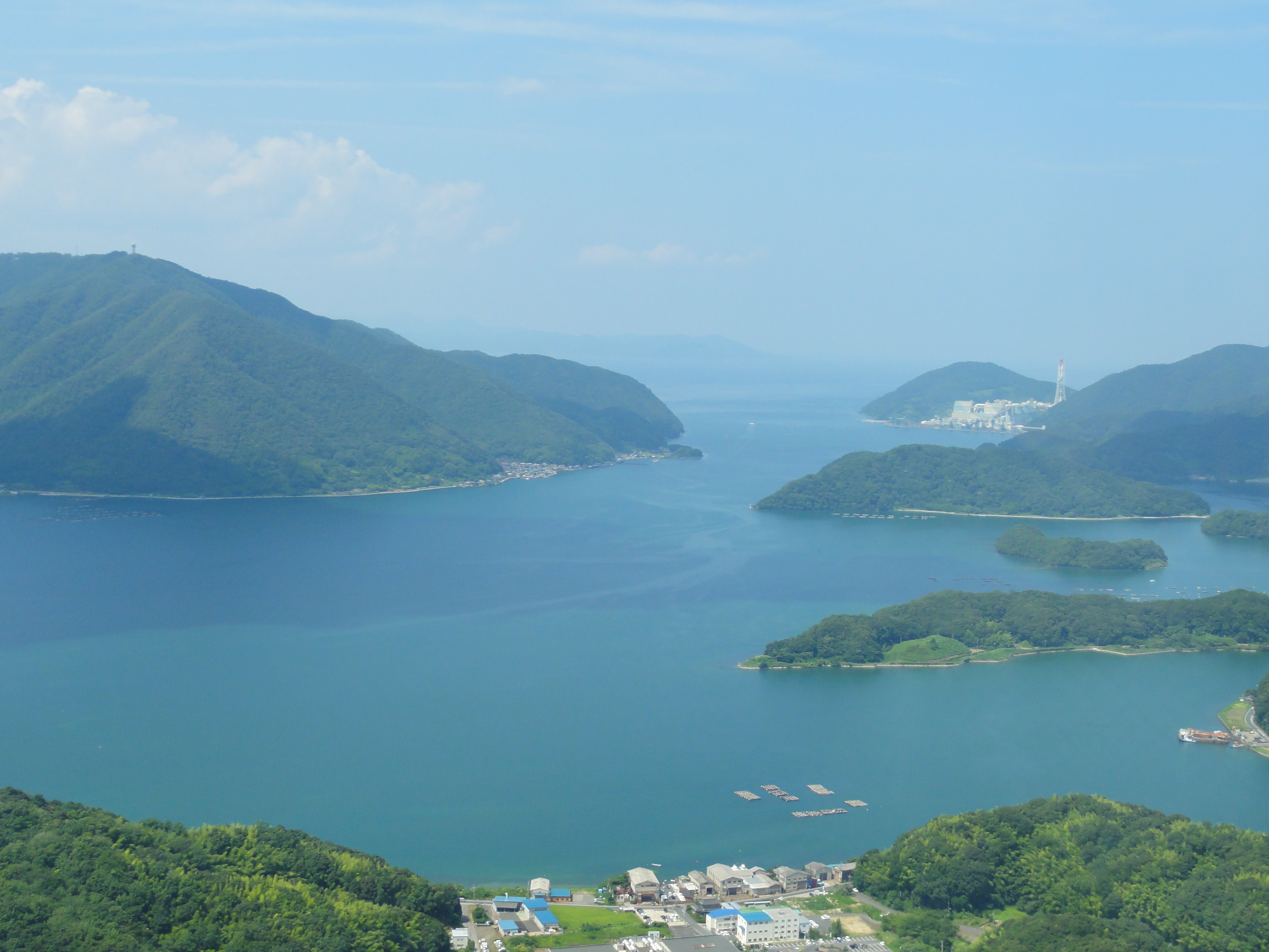
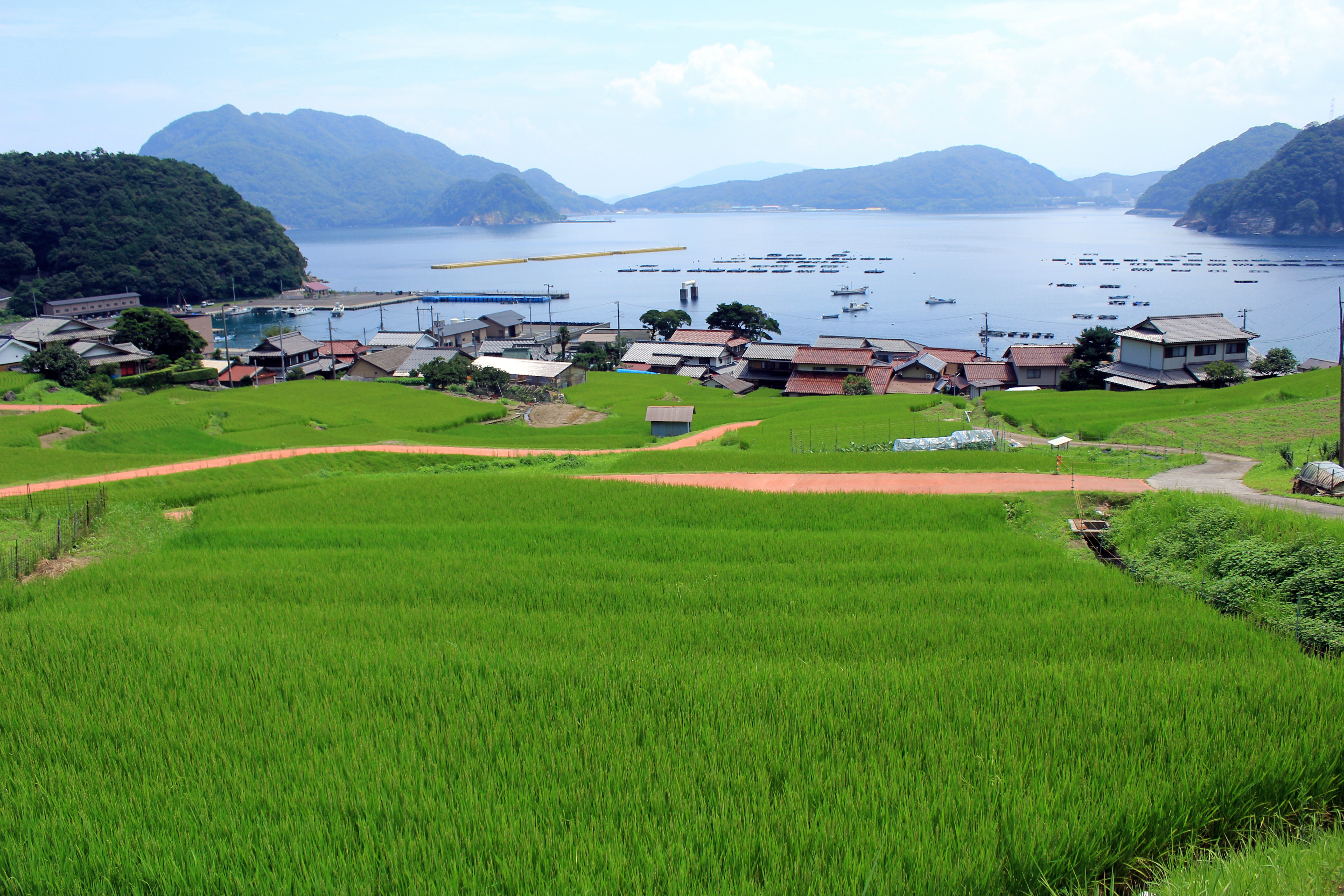
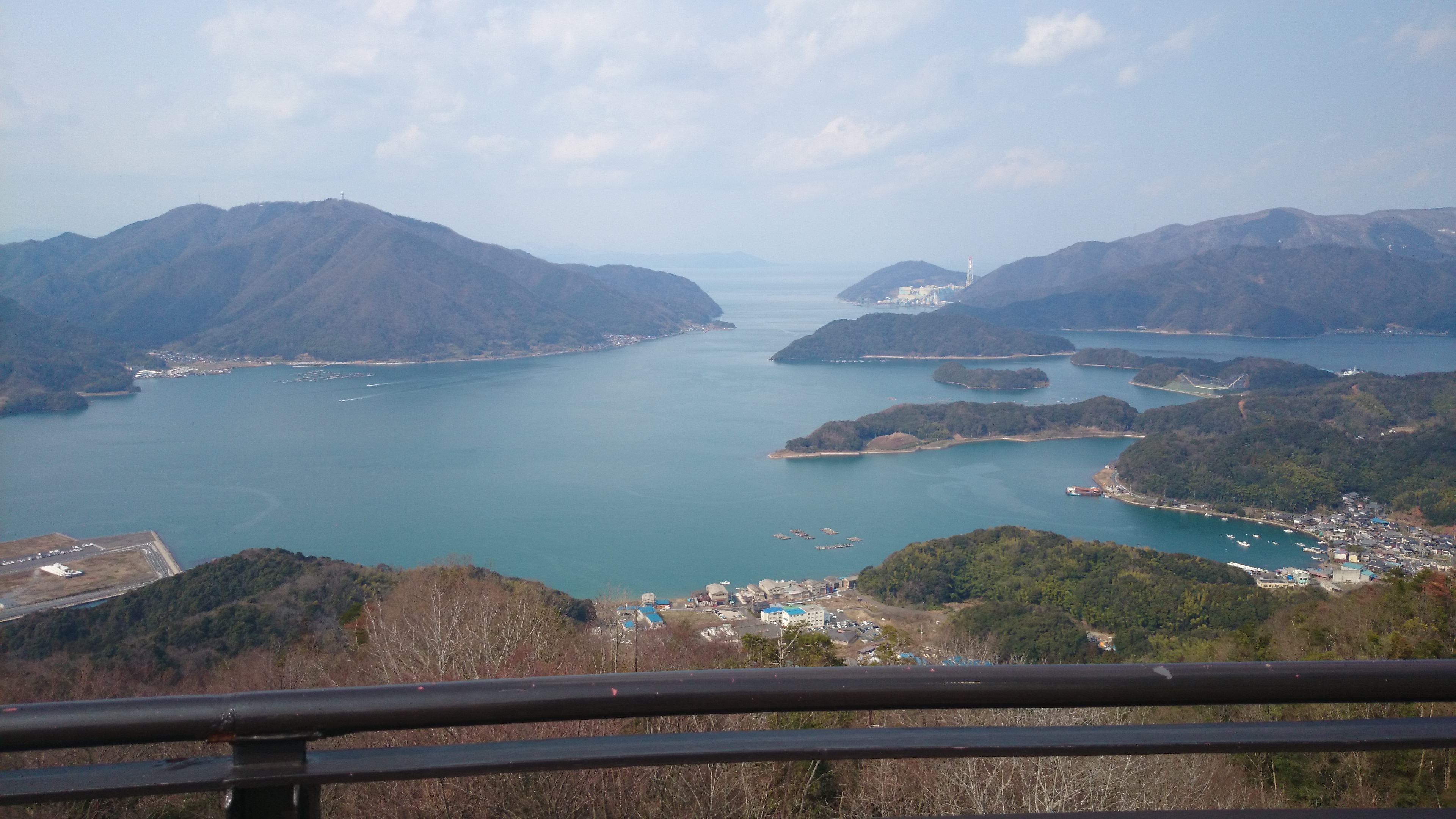
舞鶴湾

2013_04_03EOS 5D Mark III3154_1
Topographic Map of Wada, Maizuru-shi, Kyōto-fu -, Japan
Find elevation by address:

Places near Wada, Maizuru-shi, Kyōto-fu -, Japan:
16 Kamiagu, Maizuru-shi, Kyōto-fu -, Japan
Maizuru
Chōrōnodan-5 Yatsuaichō, Ayabe-shi, Kyōto-fu -, Japan
Tai, Maizuru-shi, Kyōto-fu -, Japan
Nariu, Maizuru-shi, Kyōto-fu -, Japan
Miyazu
Takiba, Miyazu-shi, Kyōto-fu -, Japan
Ejiri, Miyazu-shi, Kyōto-fu -, Japan
Ayabe
1-95 Shiodo, Takahama-chō, Ōi-gun, Fukui-ken -, Japan
7 Chome-67-2 Honmachi, Ayabe-shi, Kyōto-fu -, Japan
Takahama
Ine
Yosano
Oi District
Otokoyama, Yosano-chō, Yosa-gun, Kyōto-fu -, Japan
9-26 Tomari, Ine-chō, Yosa-gun, Kyōto-fu -, Japan
Yosa District
Honjōage, Ine-chō, Yosa-gun, Kyōto-fu -, Japan
Oi
Recent Searches:
- Elevation of Corso Fratelli Cairoli, 35, Macerata MC, Italy
- Elevation of Tallevast Rd, Sarasota, FL, USA
- Elevation of 4th St E, Sonoma, CA, USA
- Elevation of Black Hollow Rd, Pennsdale, PA, USA
- Elevation of Oakland Ave, Williamsport, PA, USA
- Elevation of Pedrógão Grande, Portugal
- Elevation of Klee Dr, Martinsburg, WV, USA
- Elevation of Via Roma, Pieranica CR, Italy
- Elevation of Tavkvetili Mountain, Georgia
- Elevation of Hartfords Bluff Cir, Mt Pleasant, SC, USA