Elevation of Wabash, IN, USA
Location: United States > Indiana > Wabash County > Noble Township >

Longitude: -85.820541

Latitude: 40.797821

Elevation: 217m / 712feet

Barometric Pressure: 99KPa

Elevation Map:

elevation map of Wabash, IN, USA
Satellite Map:

Satellite map of Wabash, IN, USA
Related Photos:

family blue usa brown white black color nature canon outdoors eos gold spring hiking dam exploring indiana jeans brady explorers 2009 lagro onika 50d ef70200mmf28lisusm wabashcounty salamonielake craigsorenson salamoniedam
A Rare Moment
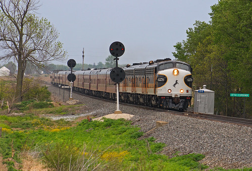
OCS - CP54 Speicherville
old house brick decay urbandecay victorian indiana weathered slate wabash secondempire
McNamee-Eilts house, Wabash, IN
Wabash, IN Architecture
ANTIQUES, Wabash, IN
nature canon indiana canon7d acreslandtrust kokiwanee
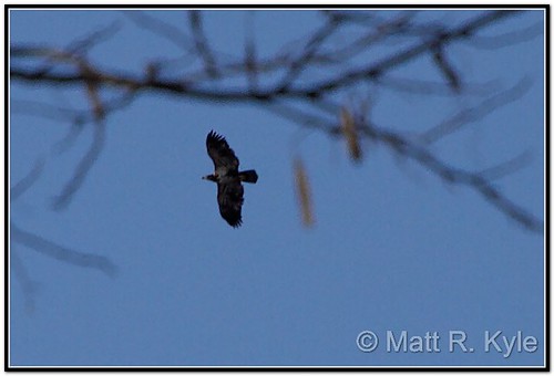
Perhaps a young Eagle?
blue sky color beauty clouds contrast worship fineart great indiana yonder hardlight huntingtoncounty mattgerlachphotography beholdhecomes salamonieriverstateforest ridingintheclouds godstower viewtoheaven
Blue Yonder
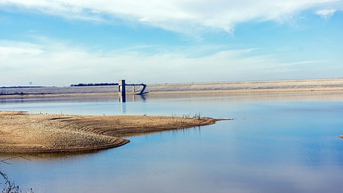
Mississinewa Reservoir
panorama indiana hangingrock wabashcountyindiana acreslandtrust sonydschx9v
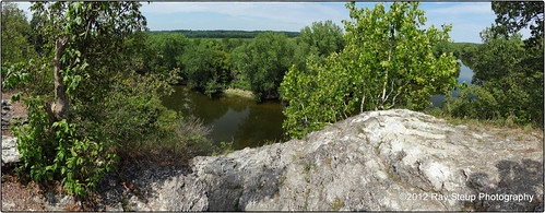
The view from Hanging Rock - Wabash County Indiana
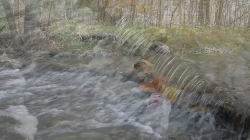
autumn fall nature waterfall video october stream indiana canondslr hdvideo canoneos60d videoonflickr acreslandtrust fwfg canoneosvideo
October at Hathaway Preserve
canon daddylonglegs g11 acreslandtrust kokiwanee canong11 kokiwaneepreserve
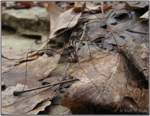
Daddy-Longlegs. (It's not a spider)
statue unitedstates indiana courthouse abrahamlincoln wabash wabashcounty
With Malice Toward None, With Charity For All
trees snow tree rock geotagged samsung indiana hangingrock wabashriver samsunggalaxys3
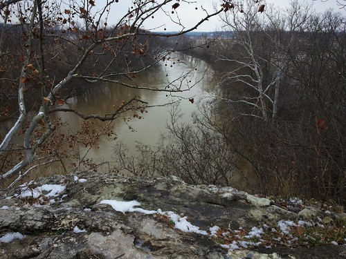
Hanging Rock National Natural Landmark
trees snow tree rock geotagged samsung indiana hdr hangingrock wabashriver samsunggalaxys3
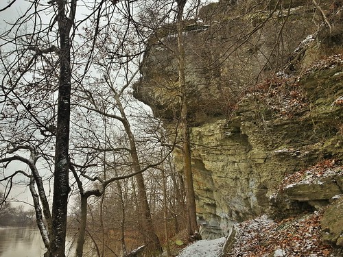
Hanging Rock National Natural Landmark
longexposure autumn snow fall canon geotagged waterfall indiana kissingfalls kokiwaneenaturepreserve canonpowershotsx10is
Kissing Falls - moving in close
trees snow tree rock geotagged samsung indiana hdr hangingrock samsunggalaxys3
Hanging Rock National Natural Landmark
family male female photography fly flying pond sale sold fineart flight birdhouse buy sell woodduck photostiched huntingtoncounty mattgerlachphotography 5ponds salamoniereservior birdsnw09
Off To Work
Hominy Ridge Falls
October 6, 2013 6:02P.M.
Hominy Ridge Lake
Going UP
square squareformat iphoneography instagramapp uploaded:by=instagram foursquare:venue=4c6f3ae7b3ce224b786370c6
Good morning corn
longexposure nature waterfall nikon tamron fortwayne fortwayneindiana tamron1750 d7000 kokiwanee nikond7000 tamron1750vc
Kissing Falls
indiana salamonie hominyridge
Salamonie State Forest(26)
nature waterfall naturepreserve indianawaterfall wabashcountyindiana acreslandtrust
Acres Land Trust Preserve
nature nikon trail tamron tamron1750 d7000 kokiwanee nikond7000 tamron1750vc
Sleepy Hollow Trail
Mississinewa Reservoir
blackandwhite bw canon waterfall stream waterfalls g11 fwfg canonpowershotg11 canong11
Hathaway Preserve at Ross Run
canon waterfall indiana 60d canoneos60d salamoniestateforest
Salamonie River State Forest - Three Falls Trail
Kissing Falls
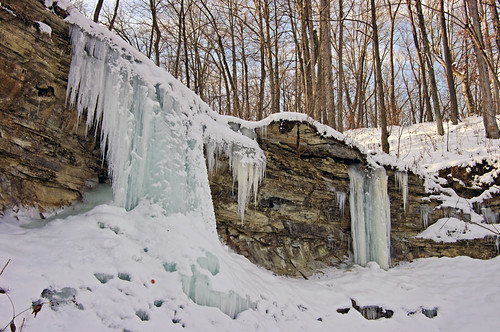
ice landscape frozen waterfall pentax indiana salamonie frozenwaterfall da1645mm huntingtoncountyindiana pentaxk20d pentaxart fwfg
Hominy Ridge
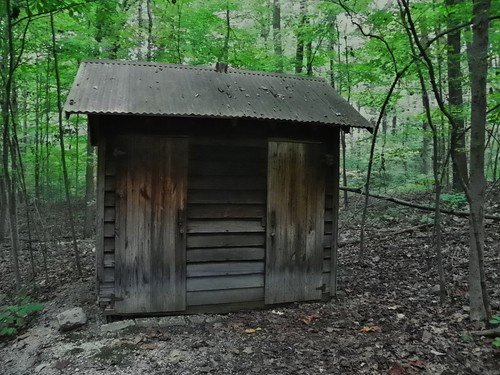
acres kokiwanee
Outhouse, Kokiwanee Nature Preserve
waterfall indiana canoneos60d salamonieriverstateforest
Salamonie River State Forest
waterfall indiana naturepreserve wabashcountyindiana canoneos60d acreslandtrust hathawaypreserveatrossrun
Hathaway Preserve I
autumn trees fall leaves canon october indiana foilage 60d 101010 canoneos60d october102010
10-10-10 in Northeast Indiana
winter ice nature canon december indiana canondslr canoneos canon60d canoneos60d fwfg
Behind the Ice
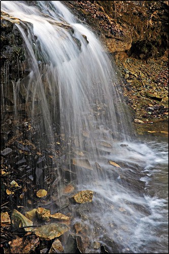
autumn fall waterfall october stream indiana canon60d canoneos60d fwfg
October Waterfall Up Close
Crop Duster