Elevation of W W Neda Rd, Iron Ridge, WI, USA
Location: United States > Wisconsin > Dodge County > Hubbard > Iron Ridge >
Longitude: -88.537509
Latitude: 43.421389
Elevation: 305m / 1001feet
Barometric Pressure: 98KPa
Elevation Map:
Satellite Map:
Related Photos:
Where is this again?

The Closer I Get

Tomb With a View
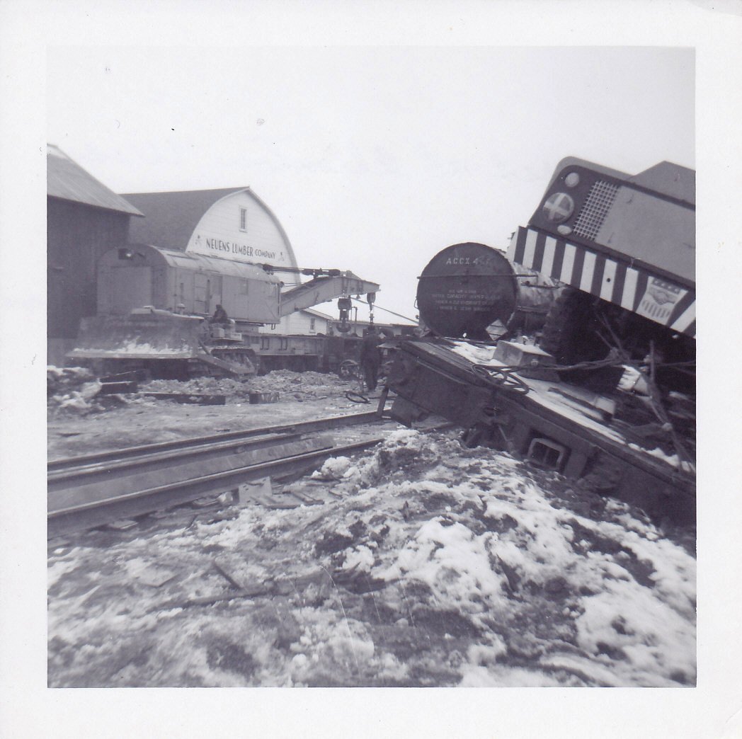
Allenton Wreck--4

A Duck's View

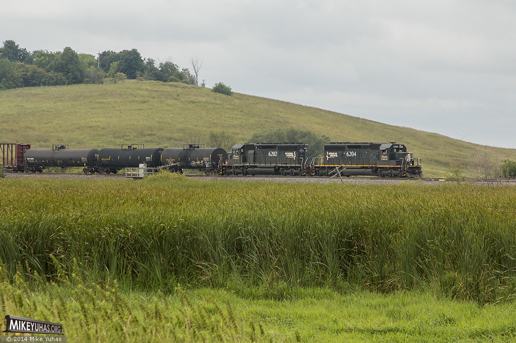
Diesel Green

Blackpoll Warbler

Atop A City
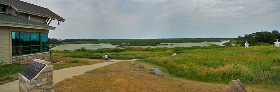
Horicon Marsh 2012
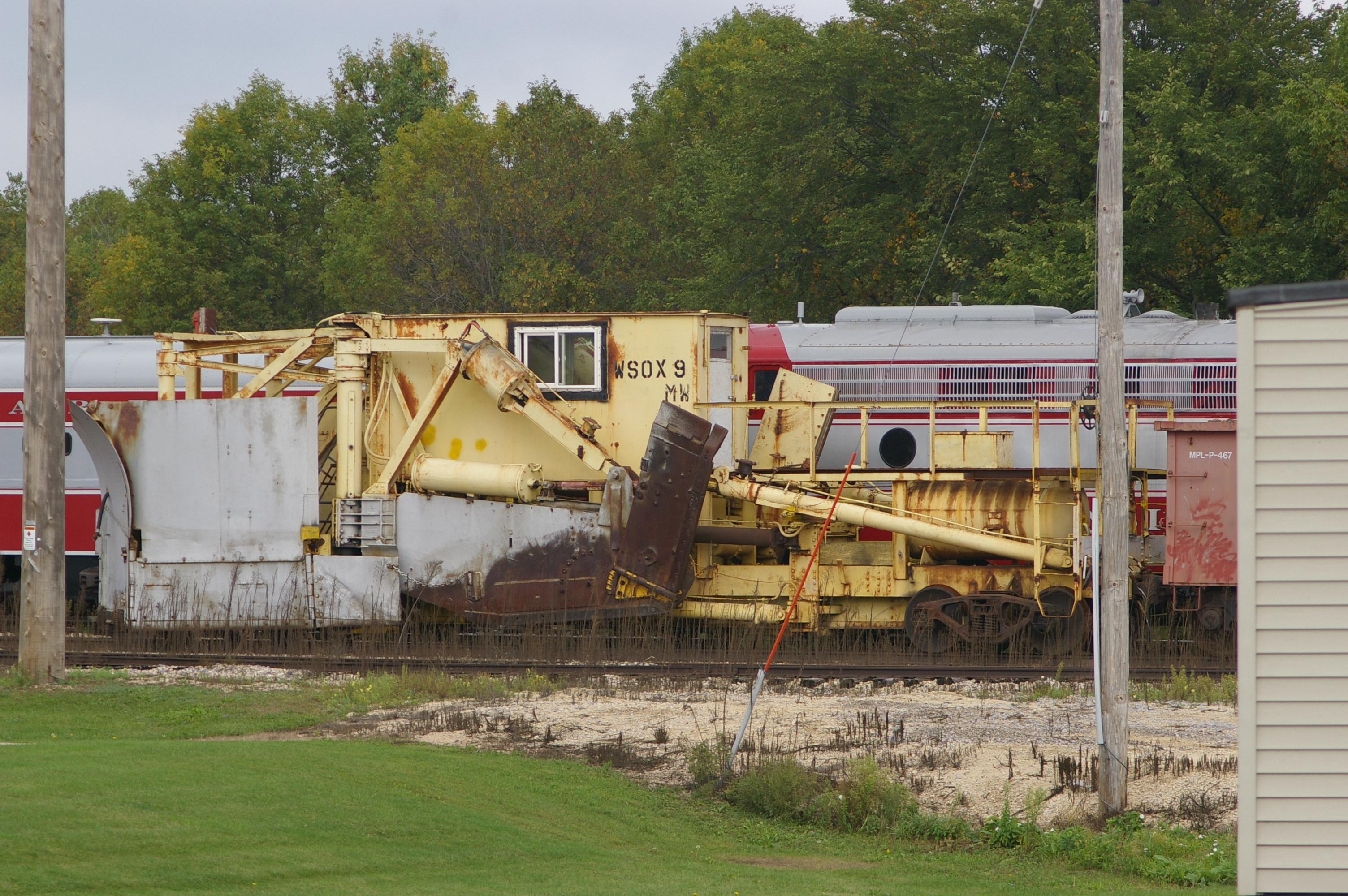
WSOX 9 Snow Plow

Curvin' (High)
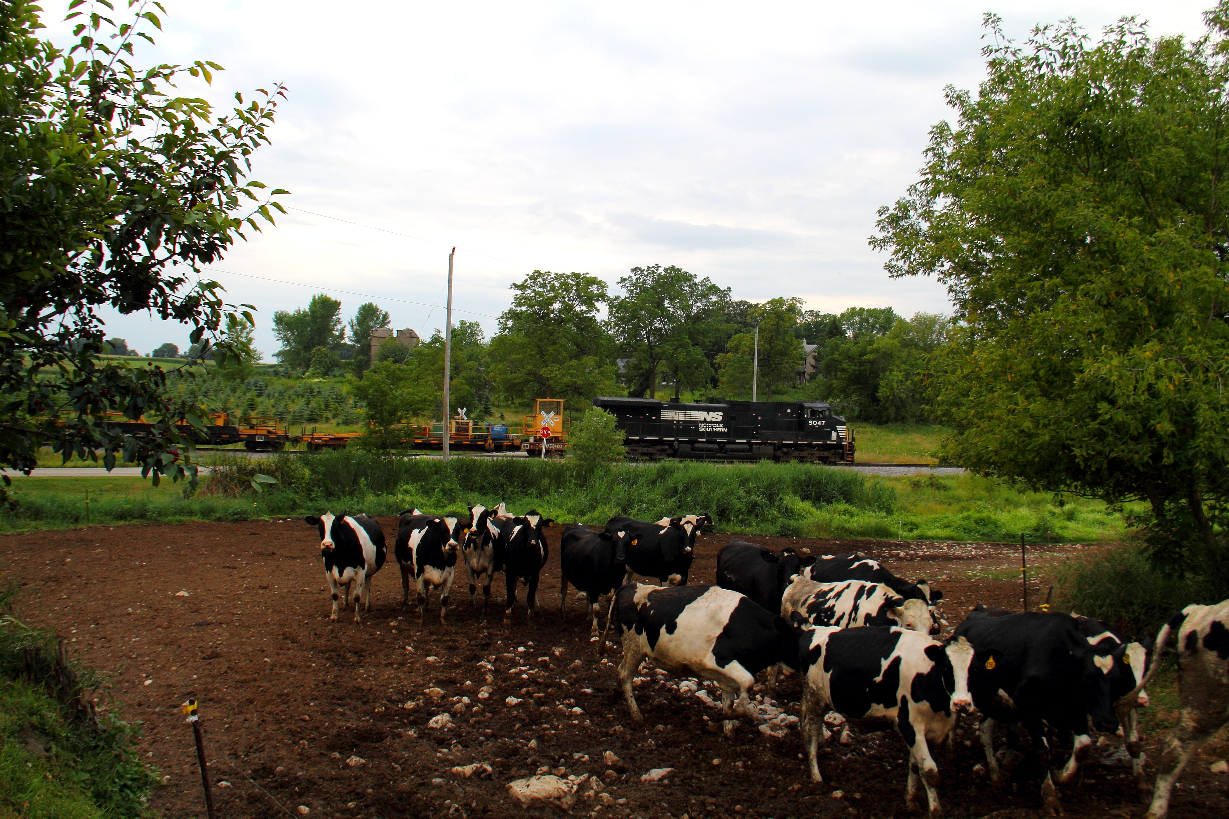
Cows!

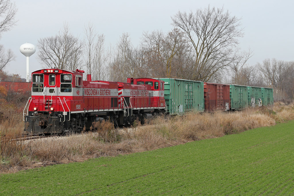
WSOR 4010 Iron Ridge

John Deere
Matched set

Ponies In The Marsh

Afternoon @ Ledge Park

Summer Impressions 2

Field Work
2013 Greenhead Landing
Road to Sundown

Wisconsin βουκολικός
Horicon Marsh

Wind Farming

Summer Impression 季夏之梦

Golden Flight

2013 Sandhill Crane In Flight 125

Shawn Conrad20141007-.JPG
Depth of Wood
Marsh with Moon and Cranes

Thunderbird Blue
Shelter On The Marsh

Theresa Marsh
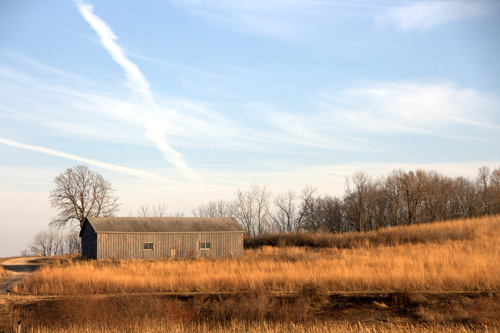
Horicon Marsh Out-building
Topographic Map of W W Neda Rd, Iron Ridge, WI, USA
Find elevation by address:

Places near W W Neda Rd, Iron Ridge, WI, USA:
Mayville
S Main St, Mayville, WI, USA
WI-, Theresa, WI, USA
Theresa
WI-, Allenton, WI, USA
Lomira
W2179
Allenton
Wayne
N110
County Rd W, West Bend, WI, USA
Ashford
W4286
County Rd W, Allenton, WI, USA
Aurora Rd, West Bend, WI, USA
Ashford
Contour Lane
3028 Elmore Dr
W2939
N543 Hillside Ct
Recent Searches:
- Elevation of Corso Fratelli Cairoli, 35, Macerata MC, Italy
- Elevation of Tallevast Rd, Sarasota, FL, USA
- Elevation of 4th St E, Sonoma, CA, USA
- Elevation of Black Hollow Rd, Pennsdale, PA, USA
- Elevation of Oakland Ave, Williamsport, PA, USA
- Elevation of Pedrógão Grande, Portugal
- Elevation of Klee Dr, Martinsburg, WV, USA
- Elevation of Via Roma, Pieranica CR, Italy
- Elevation of Tavkvetili Mountain, Georgia
- Elevation of Hartfords Bluff Cir, Mt Pleasant, SC, USA