Elevation of W Spruce St, Houston, MN, USA
Location: United States > Minnesota > Houston County > Houston >
Longitude: -91.574769
Latitude: 43.7610761
Elevation: 208m / 682feet
Barometric Pressure: 99KPa
Elevation Map:
Satellite Map:
Related Photos:

White barn with bright quilt

Our view for the next couple days.

Ian in blue with dancers

Geocaching in Rushford
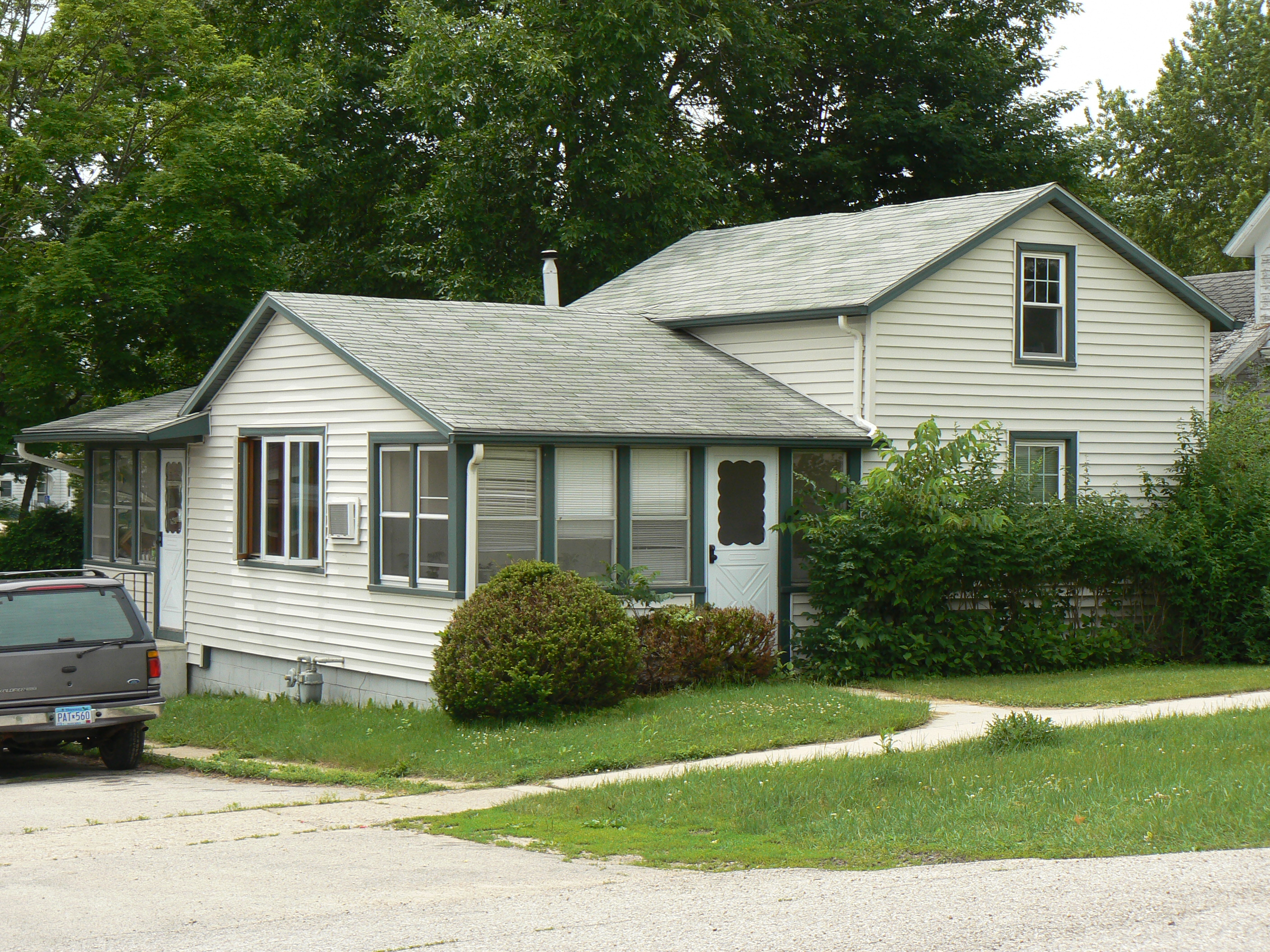
the house on grove st

Geocaching in Rushford

8-12-2013 - _44

Perky Ears

8-12-2013 - _45

The green of Beaver Creek, Minnesota
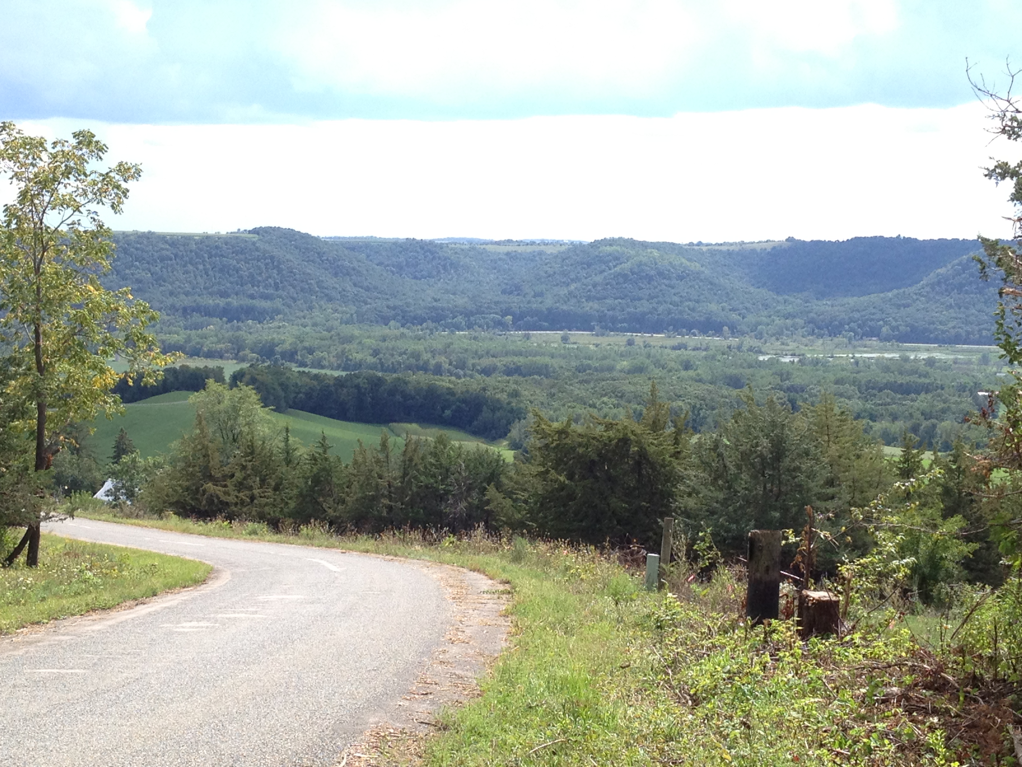
Photo Aug 19, 2 47 11 PM

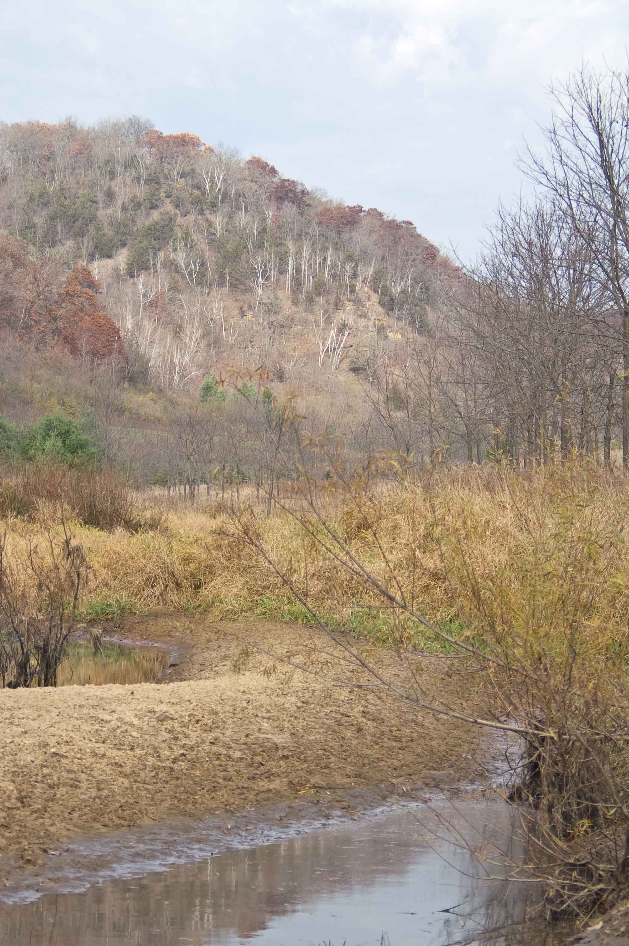
Beaver Creek Valley State Park- Houston County MN (3)

Photo Aug 19, 3 08 24 PM

We Have Debris

Antsy Narrow Leaf Puccoon
Rushford City Mill- Rushford MN (2)
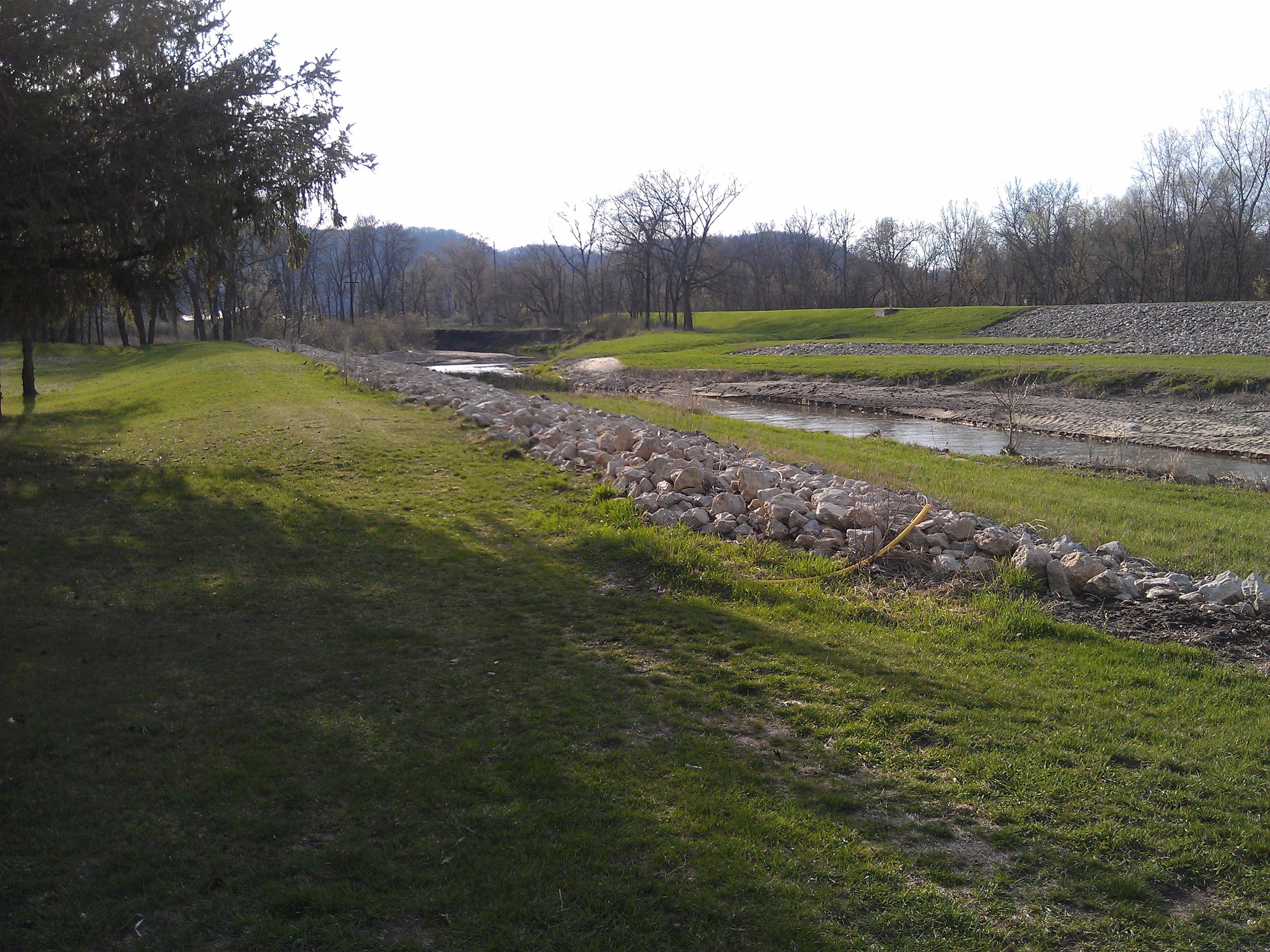
Fall Valley Pond

Photo Aug 19, 2 34 49 PM

Ominous sky on our way into first night of camping
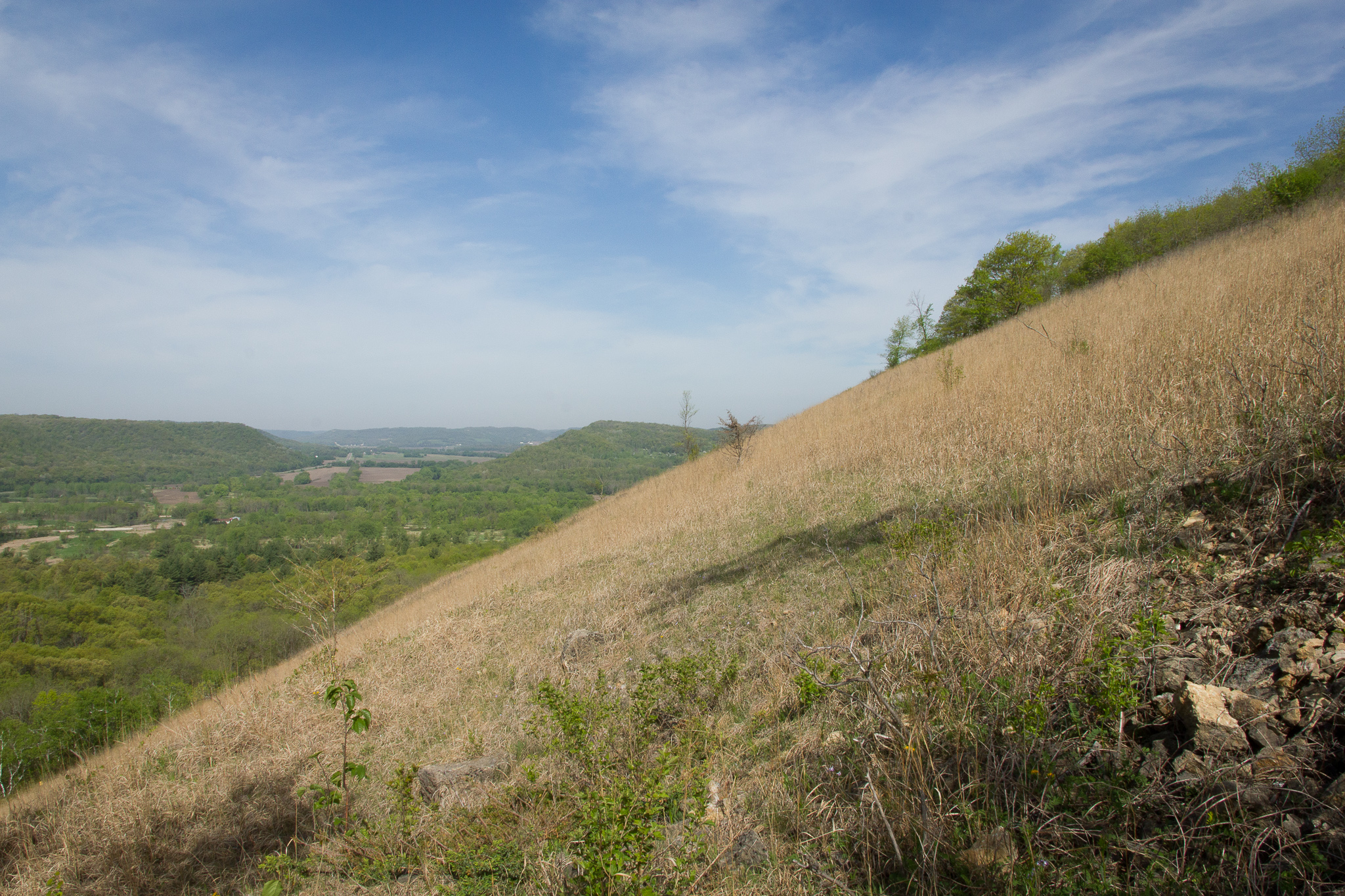
Open Bluff Country

8-12-2013 - _46
Topographic Map of W Spruce St, Houston, MN, USA
Find elevation by address:

Places near W Spruce St, Houston, MN, USA:
505 W Spruce St
Houston
49 T-, Houston, MN, USA
Houston County
Caledonia
Co Hwy 12, Winona, MN, USA
Co Hwy 5, Dakota, MN, USA
E Washington St, Caledonia, MN, USA
New Hartford Township
Nodine
Co Rd 12, Dakota, MN, USA
Co Rd, Winona, MN, USA
MN-30, Rushford, MN, USA
County Rd 7, Winona, MN, USA
2020 Clinton Dr N
Winona, MN, USA
Hart Township
US-14 Frontage, Winona, MN, USA
Main St, Trempealeau, WI, USA
Co Rd 25, Winona, MN, USA
Recent Searches:
- Elevation of Corso Fratelli Cairoli, 35, Macerata MC, Italy
- Elevation of Tallevast Rd, Sarasota, FL, USA
- Elevation of 4th St E, Sonoma, CA, USA
- Elevation of Black Hollow Rd, Pennsdale, PA, USA
- Elevation of Oakland Ave, Williamsport, PA, USA
- Elevation of Pedrógão Grande, Portugal
- Elevation of Klee Dr, Martinsburg, WV, USA
- Elevation of Via Roma, Pieranica CR, Italy
- Elevation of Tavkvetili Mountain, Georgia
- Elevation of Hartfords Bluff Cir, Mt Pleasant, SC, USA