Elevation of W S, Van Buren, IN, USA
Location: United States > Indiana > Huntington County >
Longitude: -85.468724
Latitude: 40.6545289
Elevation: 257m / 843feet
Barometric Pressure: 98KPa
Elevation Map:
Satellite Map:
Related Photos:
Zig Zag

Keep Out HDR
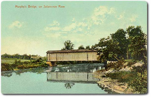
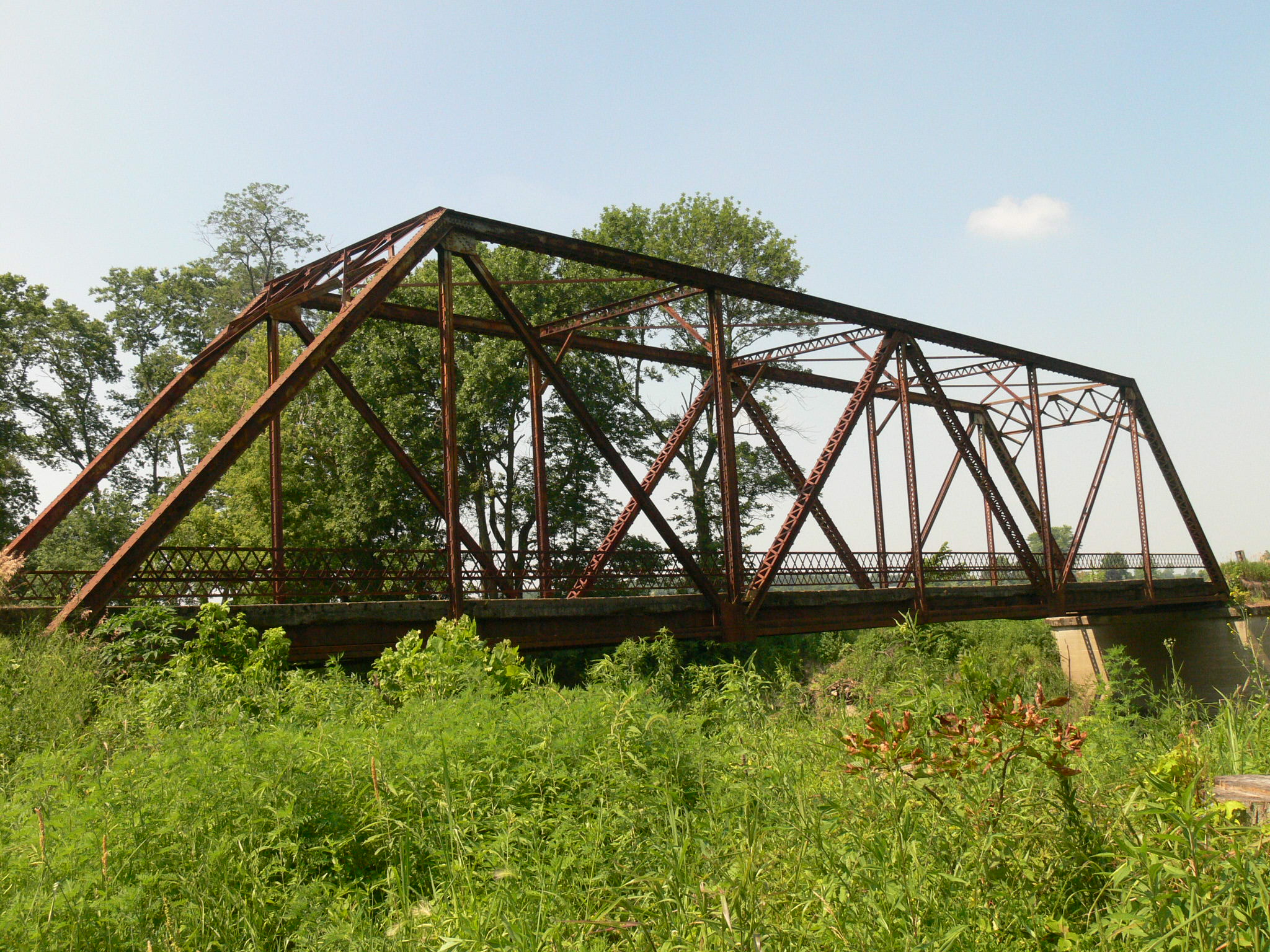
Murphy's Bridge (or Enos Boyd Bridge?) on Salamonie River, Huntington County, Indiana
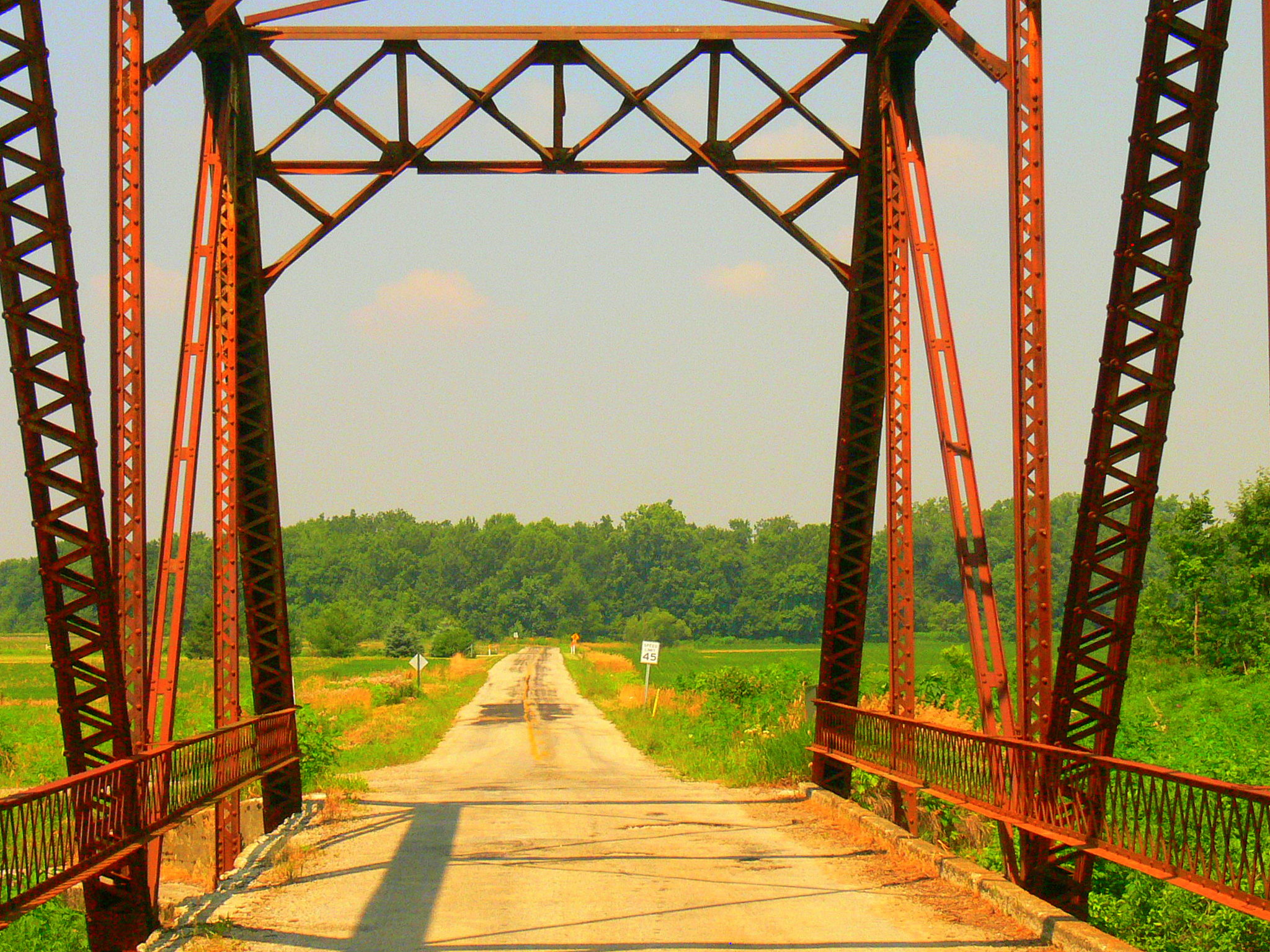
A Portal View

Eastbrook Gym wide view
Old Crossing- Marion, Indiana

Milky Way 6-26

#skyview #skyline #Indiana

Sunset - Indiana

Majenica marsh

Salamonie Reservoir; Huntington County, Indiana

Flying Home
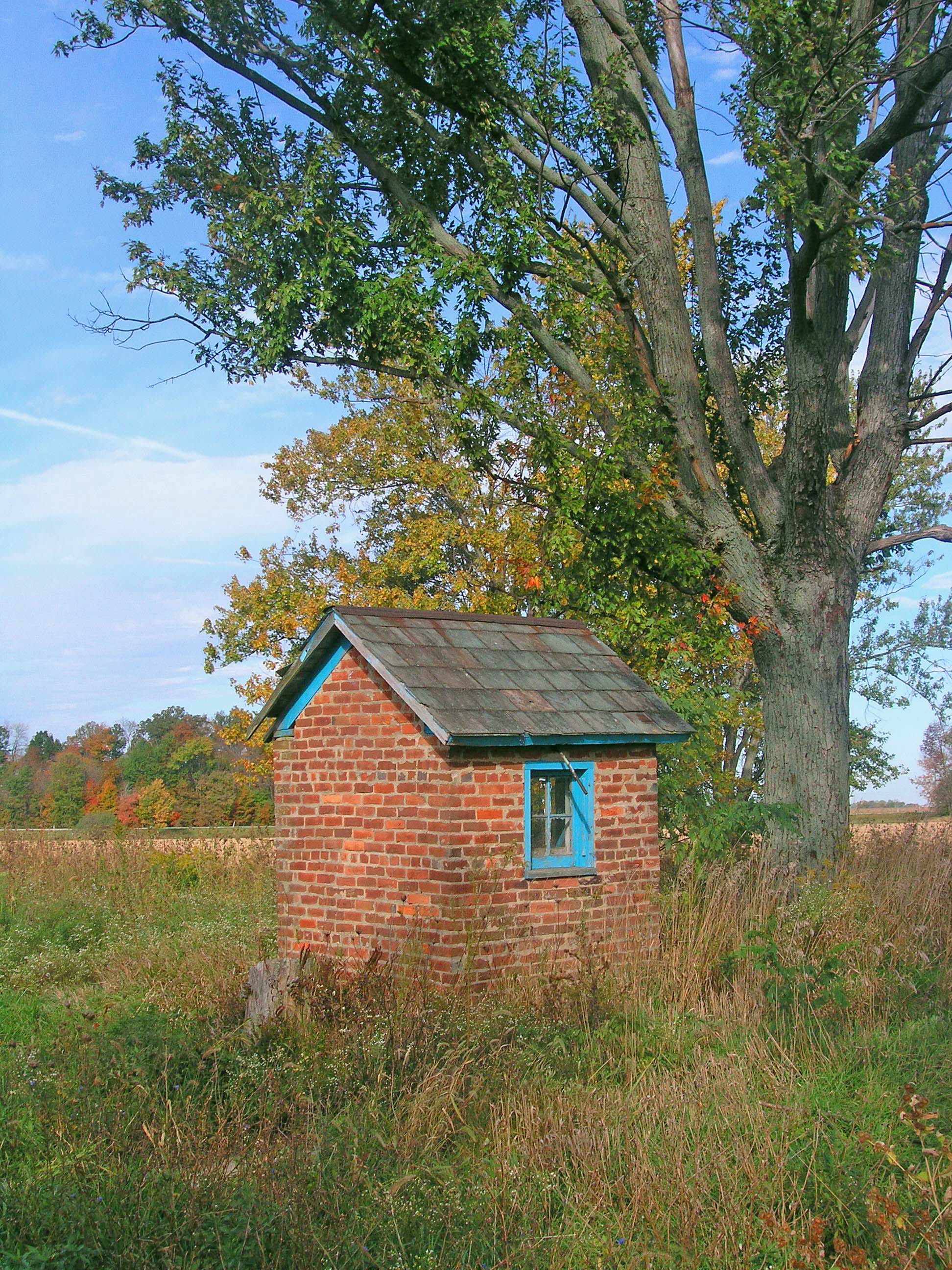
The Milkhouse
Topographic Map of W S, Van Buren, IN, USA
Find elevation by address:

Places near W S, Van Buren, IN, USA:
Warren
Van Buren
Van Buren Township
N E, Marion, IN, USA
E N, Marion, IN, USA
S W, Warren, IN, USA
Salamonie Township
4404 N 600 E
4404 N 600 E
Lancaster
Jackson Township
IN-18, Marion, IN, USA
8545 Se Jeff Rd-90
S Warren Rd, Huntington, IN, USA
Jadden Rd, Marion, IN, USA
Lancaster Township
S E, Warren, IN, USA
S W, Warren, IN, USA
N W, Hartford City, IN, USA
Monroe Township
Recent Searches:
- Elevation of Corso Fratelli Cairoli, 35, Macerata MC, Italy
- Elevation of Tallevast Rd, Sarasota, FL, USA
- Elevation of 4th St E, Sonoma, CA, USA
- Elevation of Black Hollow Rd, Pennsdale, PA, USA
- Elevation of Oakland Ave, Williamsport, PA, USA
- Elevation of Pedrógão Grande, Portugal
- Elevation of Klee Dr, Martinsburg, WV, USA
- Elevation of Via Roma, Pieranica CR, Italy
- Elevation of Tavkvetili Mountain, Georgia
- Elevation of Hartfords Bluff Cir, Mt Pleasant, SC, USA