Elevation of W Riverside Dr, Salem, VA, USA

Location: United States > Virginia > Roanoke County > Salem >

Longitude: -80.104866

Latitude: 37.2777958

Elevation: 320m / 1050feet

Barometric Pressure: 98KPa

Elevation Map:

elevation map of W Riverside Dr, Salem, VA, USA

Satellite Map:

Satellite map of W Riverside Dr, Salem, VA, USA

Related Photos:

blue ridge parkway road highway drive national park ride car travel green brp
Blue Ridge Parkway
panorama mountain virginia view peak hike hills trail valley ledge vista appalachian knob precipice mcafee mcafees mcafeeknob mcaffeesknob
McAfee Knob
urban city scene stilllife artdeco 1931 horizontal vertical lines shapes brick façade small window iron green stylized drainspout column trash metal container receptacle spatial space street sidewalk pughdepartmentstore fire building structure transformation remodeled commercial business campbellavenue salemavenue memories childhood roanokedowntownhistoricdistrict nrhp architecture brickwork texture minimalism nationalregisterofhistoricplaces roanoke virginia
Urban Still Life--Roanoke
open view curtain doorway inside
Day 13- Interior
sky storm mountains clouds buildings photography spring downtown artist view terry aldhizer
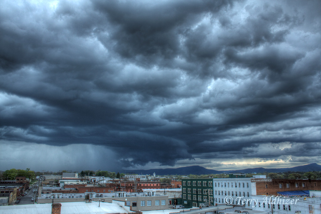
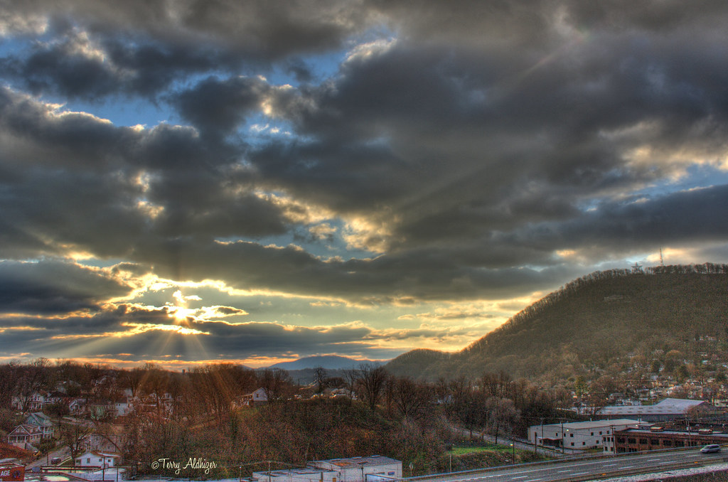
April Spring Storm View From Downtown Roanoke
road sunset sun mist water fog tunnel drip rays rough beams hdr
Splash Damage
terry aldhizer terryaldhizercom
Christmas Lines At The Mall
urban streets cars virginia twilight dusk towers explore roanoke terry aldhizer terryaldhizercom
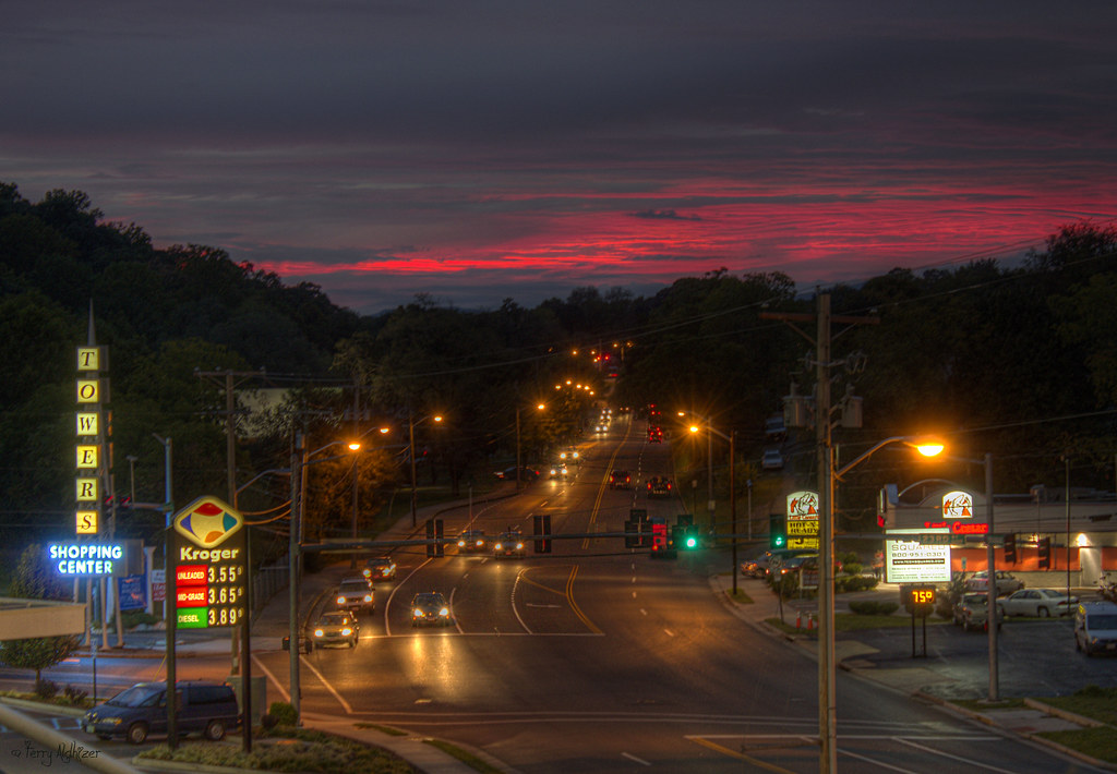
Towers Twilight [Explored!]
sky mountains grass clouds airport twilight view roanoke valley terry hdr regional aldhizer
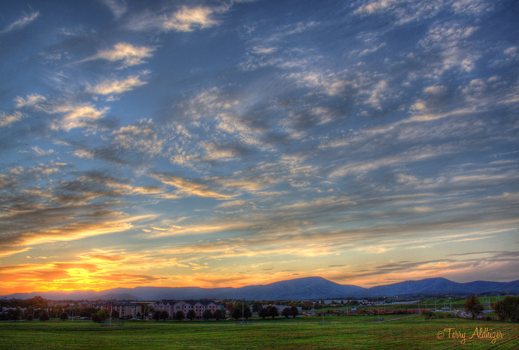
Valley View Twilight
woman wet water pool weather swimming self photography nikon all underwater terry coolpix waterproof aw100 aldhizer terryaldhizercom
Testing Nikon Coolpix AW100
tree closeup virginia spring blossom va bloom 365 springtime roanokeva 2013 040213 bradfordpair
Day 92 -- Popped!!!
city mountain storm mill june night virginia view wind time line roanoke valley hour terry miles lightning 29 straight friday storms overlook 80 per thunder 2012 severe derech aldhizer terryaldhizercom
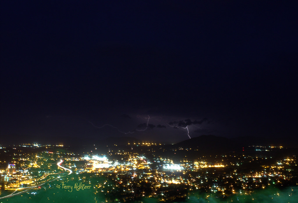
Derecho June 29, 2012 Roanoke Va From Mill Mountain Overlook Terry Aldhizer
night airplane photography long exposure artist landing trail roanoke terry hdr regional aldhizer
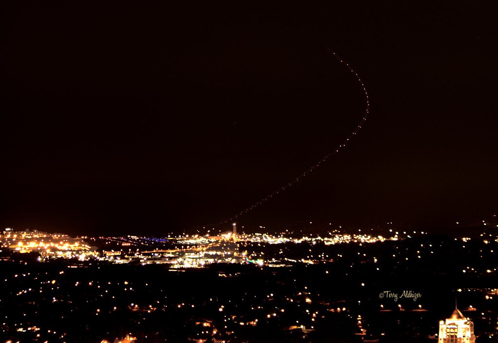
Airplane Landing Trail
jcpenney newsprintfilter flickriosapp:filter=newsprint uploaded:by=flickrmobile 2013 departmentstore favorites mall myfavorites yourfavorites retail roanoke va virginia penneys night sign signs jcpenneyco cameraphone bw jcp
JCPenney (Valley View Mall)
halloween sunrise virginia view front roanoke terry porch handheld hdr aldhizer terryaldhizercom
Halloween Sunrise - Roanoke VA Photography Terry Aldhizer
reflection nude bareback mirror sisterinlaw
Carol's Back Again
virigina roanoke downton hamptoninn view taubman museum wellsfargo horizon skyling blueridge blueridgemountains
Roanoke Viriginia
2016 02-11 1421 NS C40-8.5W-8501 S/B 995 at Roanoke, VA
trees mountains fall fence virginia gate roanoke catawba
POSTED!
railroad copyright history museum train vintage virginia rust diesel engine locomotive allrightsreserved 197 roanokeva virginiamuseumoftransportation mzuiko918mm ©daveelmore
197 & 1776
sky cars night clouds dark stars lights north trails va streaks elliston shawsville eastmont
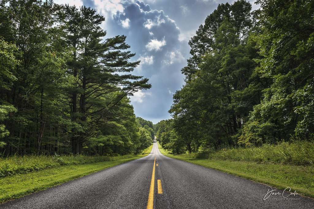
Elliston Straight Stretch
canon virginia unitedstates meetup winery haybales blacksburg canon1585 canon70d nrvexposure beliveauwinery
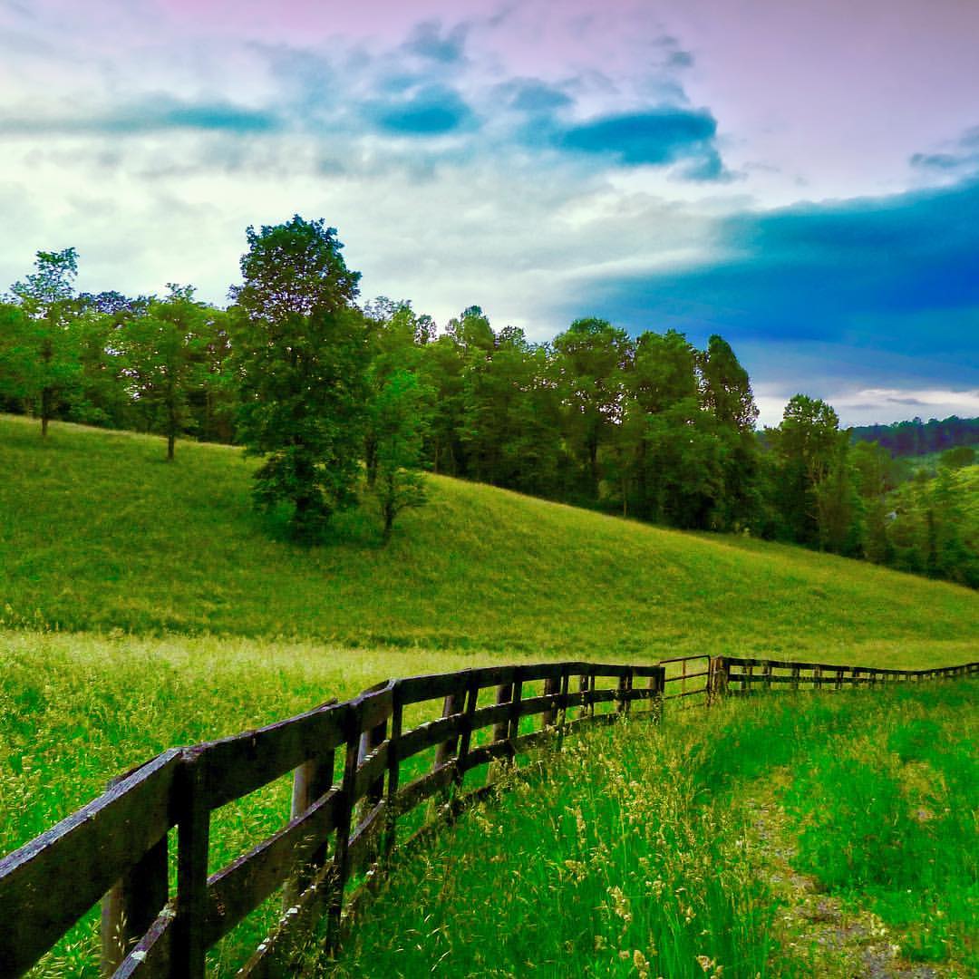
Hay Bales and Grape Vines
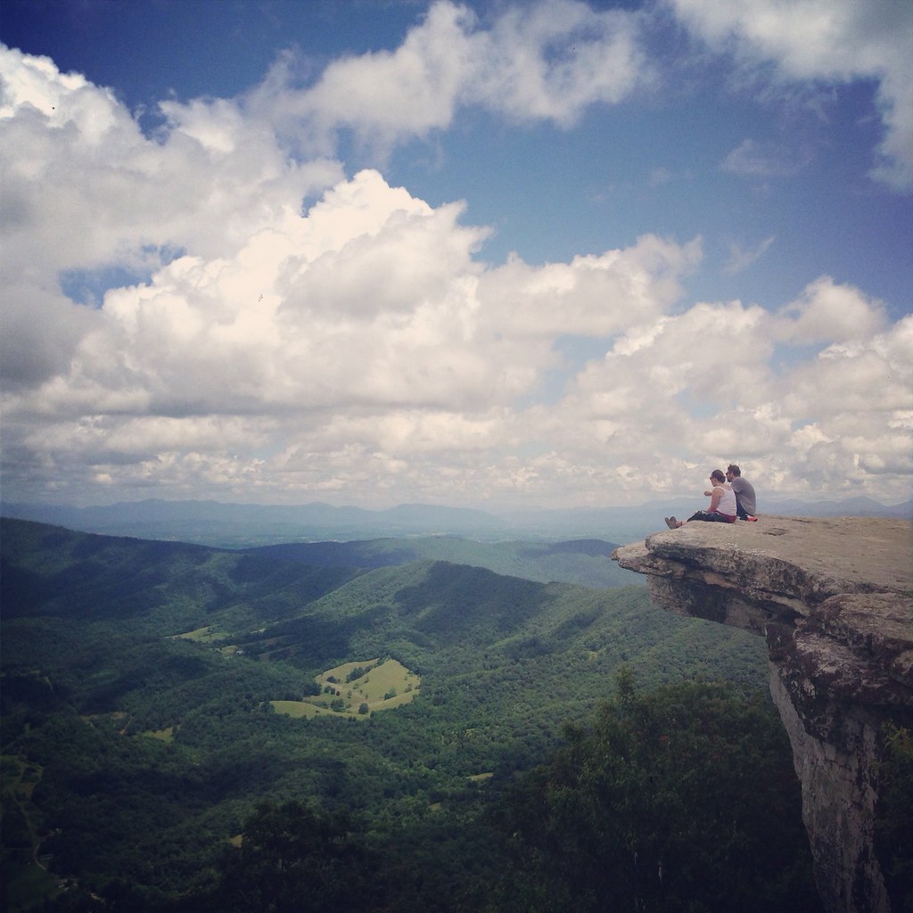
McAfees Knob
andreamoscato america statiuniti usa unitedstates us blue white green sky cielo clouds nuvole shadow ombre light luce day silhouette sign site neon stella mountain montagna iron metallo nature natura vivid
The Roanoke Star - Mill Mountain (Virginia)
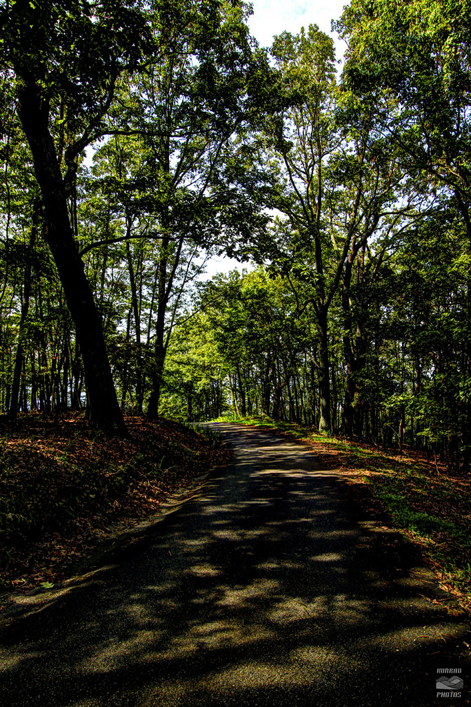
road blue trees light summer sunlight mountain leaves virginia ridge roanoke va parkway dappled
Dappled Lane
sonyrx100 laplatapeak blackandwhite landscapes 14ers colorado laplata
View from Colorado's La Plata Peak. We're not quite to the summit when this image was taken
sky mountain nature outdoor 2019 virginia roanokevalley roanokecounty nikond500 bluehour goldenhour mountains outdoors air sunset dusk twilight travel winter grouped commented favorited
2019.01.06.5376 Northeastern RV
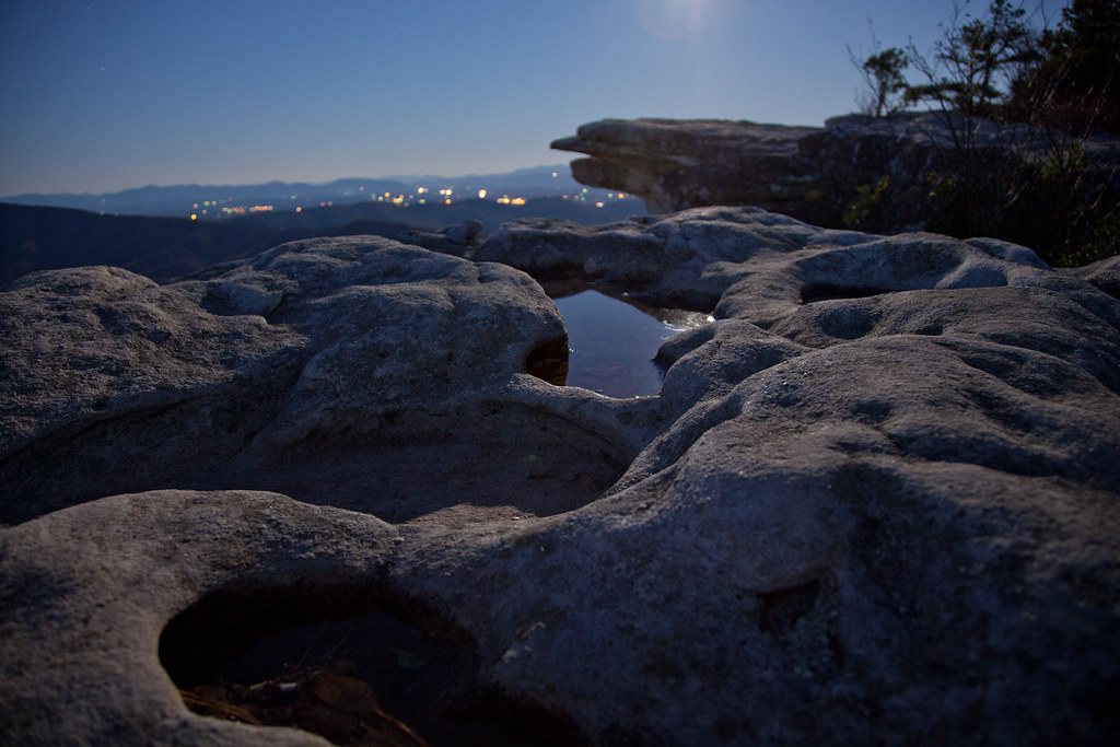
longexposure autumn mountains nature stars landscape scenery hiking scenic hike trail moonrise moonlight lunar appalchian scenicview mcafeesknob canonef24105mmf4lisusm canon5dmarkii
Lunar-Lit Landscape
decorations sky moon tree night dark stars hiking appalachiantrail mcafeesknob at
Happy Solstice!
DSC_2779-Pano
sunrise virginia spring hiking roanoke appalachiantrail blacksburg swva mcafeesknob at mcafeeknob
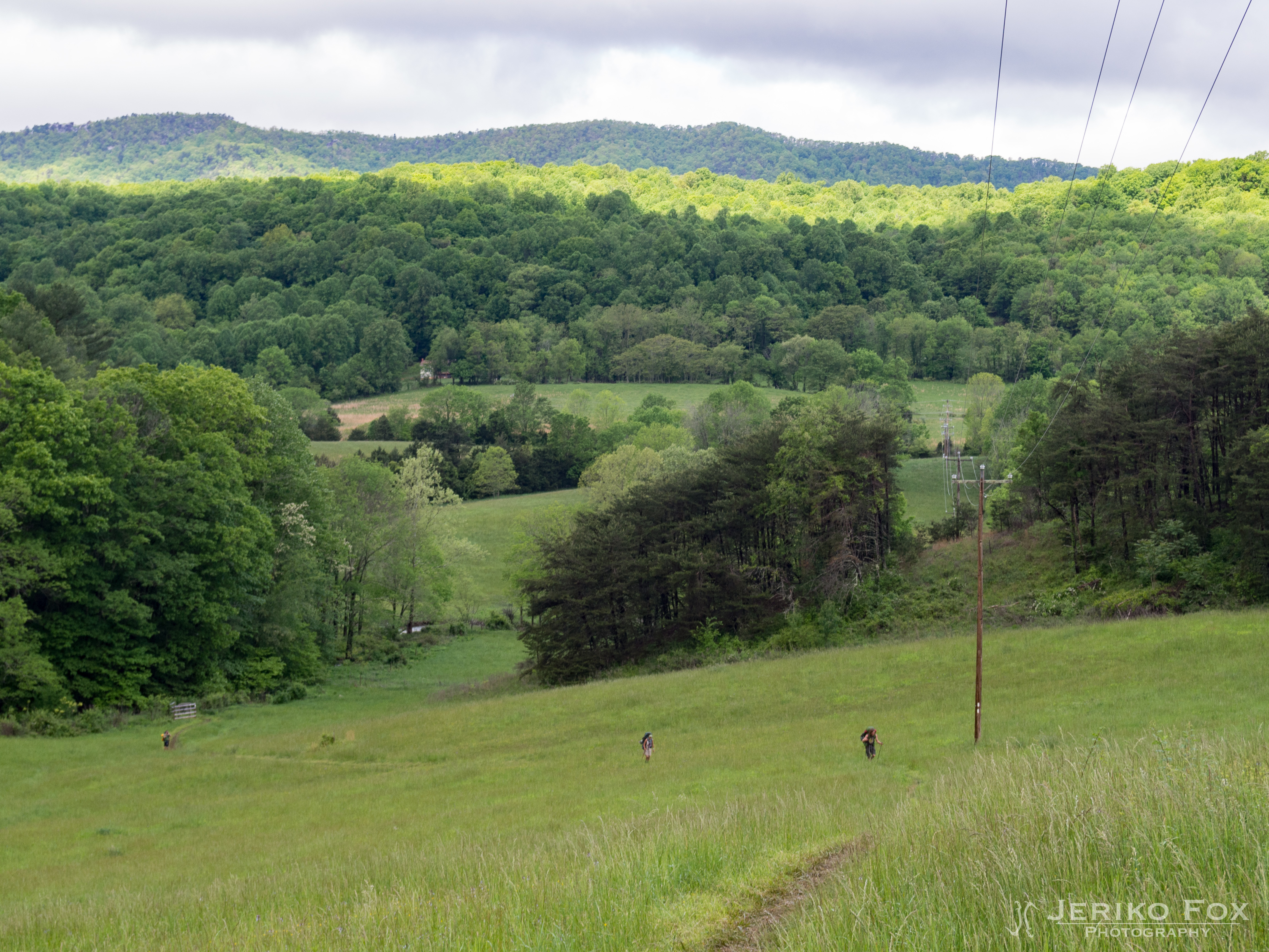
back to the home you made on the mountainside
appalachiantrail usa virginia salem unitedstates us
JFRM-2017-05-8013.jpg
sunset september va salem 2014 greenhillpark
See You Later Summer
instagramapp square squareformat iphoneography uploaded:by=instagram kelvin
June 3, 2016
ns 820 cp kumis whitethorne district lafayette va train railroad locomotive house barn trees grass mountains sky
NS 820 at CP Kumis
sunset september va salem 2014 greenhillpark
Last Summer Sunset
trees sky reflection water river roanoke terry hdr aldhizer terryaldhizercom
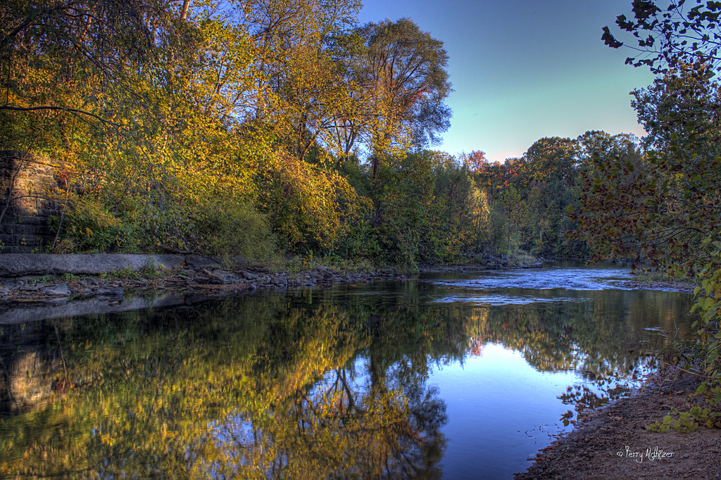
Roanoke River Reflection
Painted Desert, Arizona. June 2013.
two sky usa sun mountains mill clouds sunrise landscape star virginia day cloudy roanoke terry rays hdr partly regionwide aldhizer terryaldhizercom
Two Star Sunrise [Explored!] - Roanoke VA Photography Terry Aldhizer
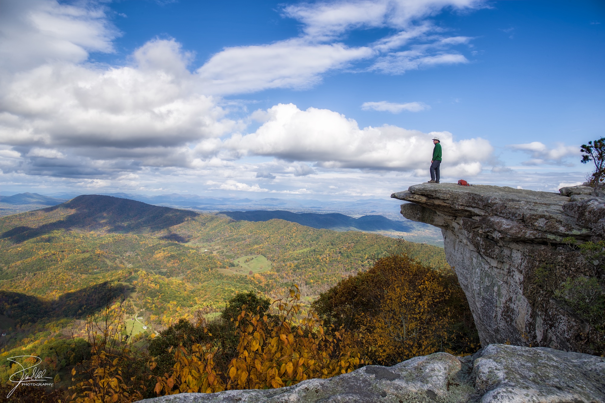
canon virginia hiking roanoke f11 appalachiantrail 24105 catawba ef24105mmf4lisusm mcafeeknob catawbavalley catawbamountain canoneos1dx
McAfee Knob
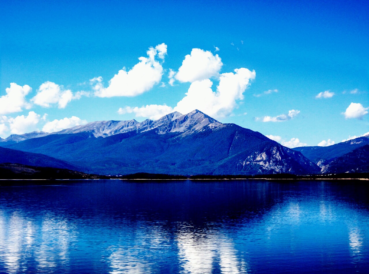
Dillion Lake, Colorado, Sept. 2015.
city sky rain weather skyline clouds landscape virginia rainbow downtown roanoke terry hdr aldhizer terryaldhizercom
Shine Over The Money