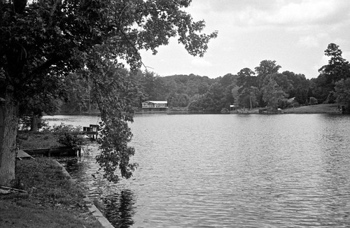
Elevation of W Main St, Pacolet, SC, USA
Location: United States > South Carolina > Spartanburg County > Pacolet >
Longitude: -81.761348
Latitude: 34.89944
Elevation: 235m / 771feet
Barometric Pressure: 99KPa
Related Photos:

Had a great #workout at the #YMCA today! It was my first time scoping out the new location. It was very upper class. This #Sunset came right after

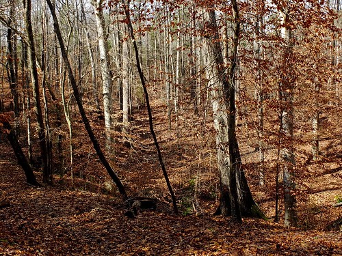
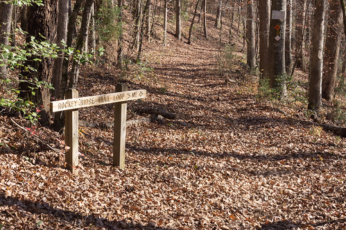
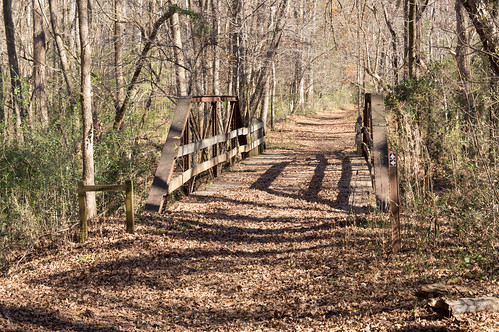
Found one last gem I forgot to post from our second hike. This was a very inspiring trail. At that point, I truly felt as if I was walking into my future. It was cool. #forest #trail
Topographic Map of W Main St, Pacolet, SC, USA
Find elevation by address:

Places near W Main St, Pacolet, SC, USA:
Pacolet
7654 S Pine St
172 Euphra Dr
Dogwood Ave, Spartanburg, SC, USA
Reservoir Road
371 Hopper Fish Camp Rd
Back St, Spartanburg, SC, USA
Jonesville
Foster Mill Circle
248 Lake Forest Dr
105 Thunderbird Pl
308 Sunridge Dr
20 Lake Forest Dr
208 State Rd S-42-500
Pauline
246 Bagwell Dr
211 Horseshoe Lake Rd
Spartanburg, SC, USA
126 Loche Adele Dr
Hillcrest
Recent Searches:
- Elevation of Corso Fratelli Cairoli, 35, Macerata MC, Italy
- Elevation of Tallevast Rd, Sarasota, FL, USA
- Elevation of 4th St E, Sonoma, CA, USA
- Elevation of Black Hollow Rd, Pennsdale, PA, USA
- Elevation of Oakland Ave, Williamsport, PA, USA
- Elevation of Pedrógão Grande, Portugal
- Elevation of Klee Dr, Martinsburg, WV, USA
- Elevation of Via Roma, Pieranica CR, Italy
- Elevation of Tavkvetili Mountain, Georgia
- Elevation of Hartfords Bluff Cir, Mt Pleasant, SC, USA
