Elevation of Wälder um Oster- und Moselkopf, Bad Berleburg, Germany
Location: Germany > North Rhine-westphalia > Arnsberg > Bad Berleburg > Girkhausen >
Longitude: 8.4942718
Latitude: 51.1304225
Elevation: 630m / 2067feet
Barometric Pressure: 94KPa
Elevation Map:
Satellite Map:
Related Photos:
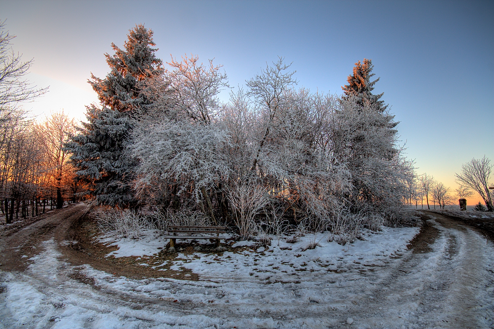
winter near winterberg
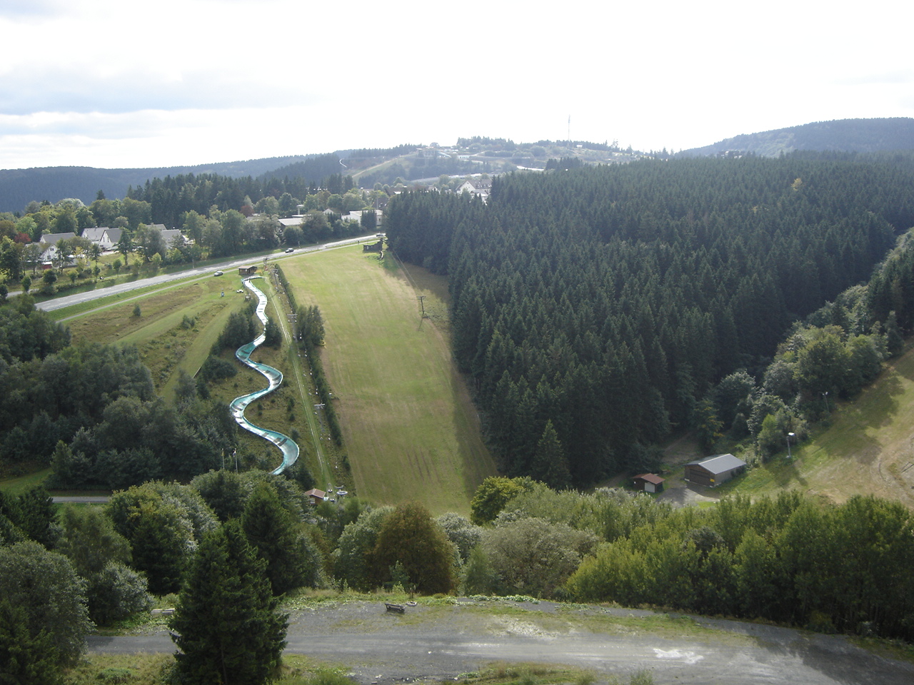
Winterberg: View on Bobsleigh Track
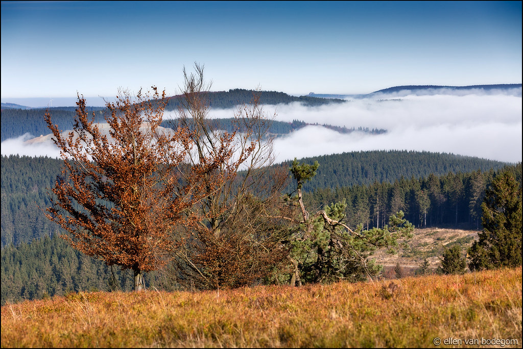
kahler asten
kahler asten
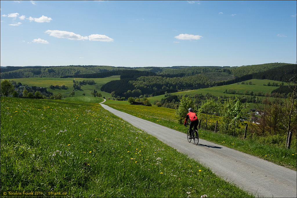
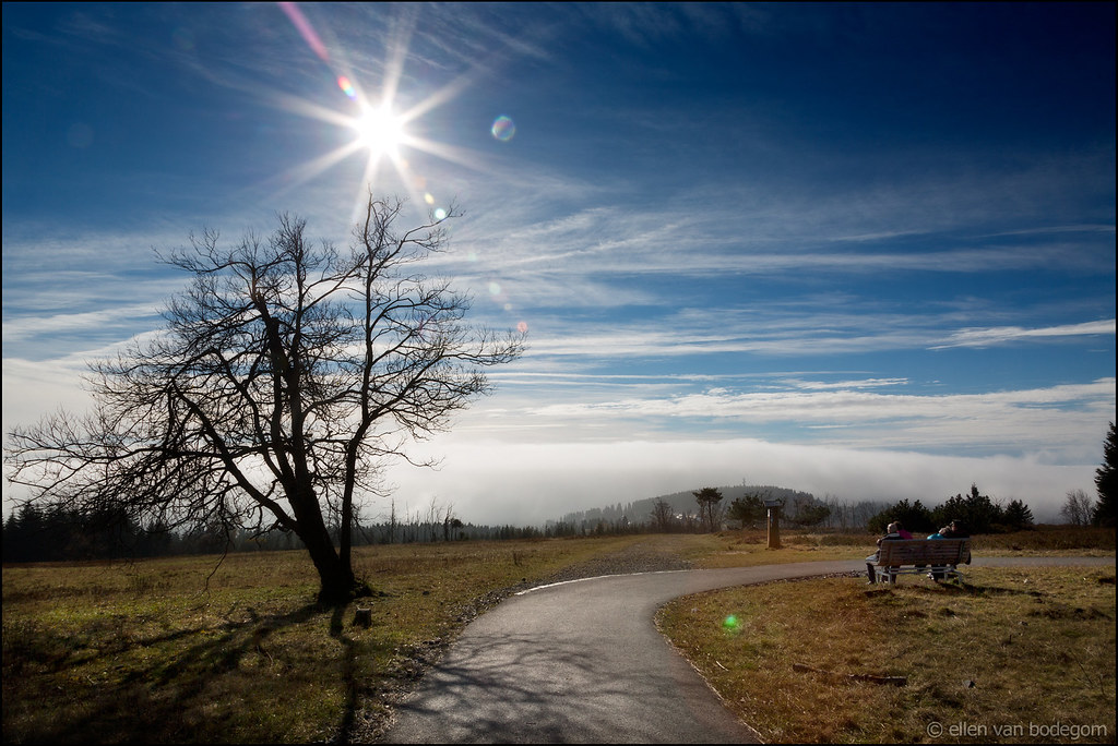
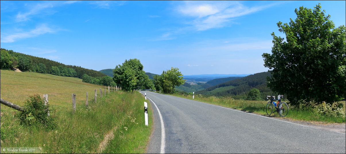
Cycling with a view
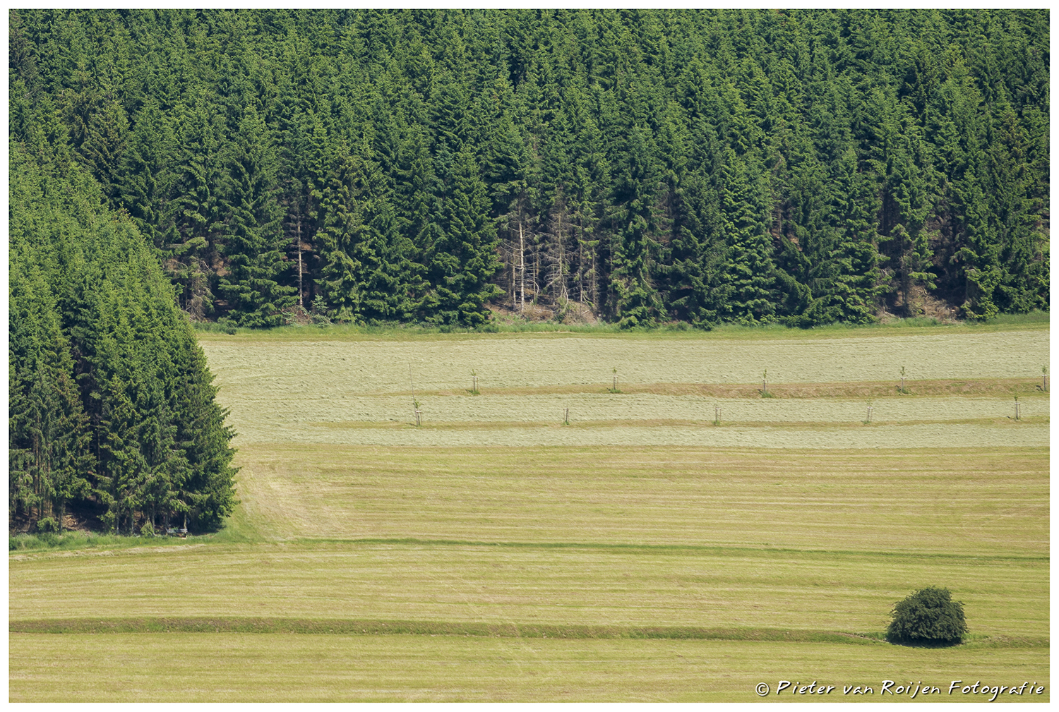
Odd one out.
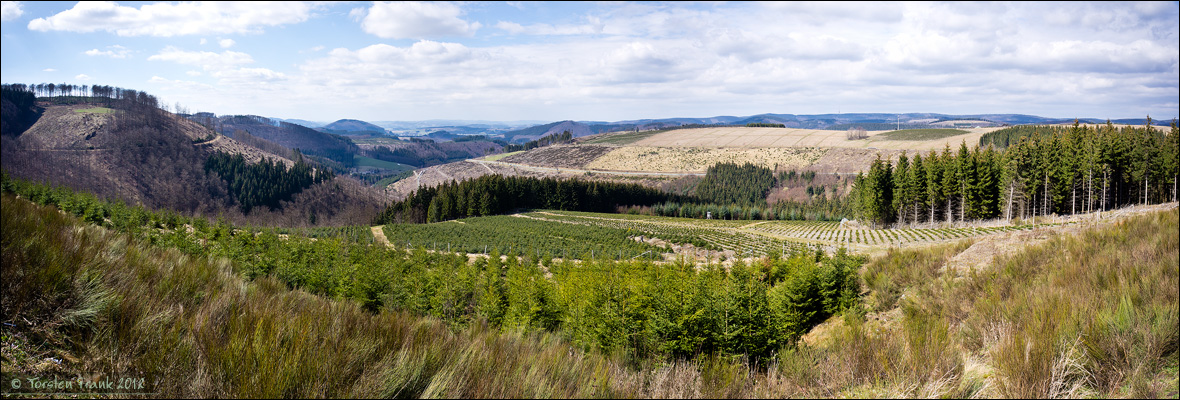
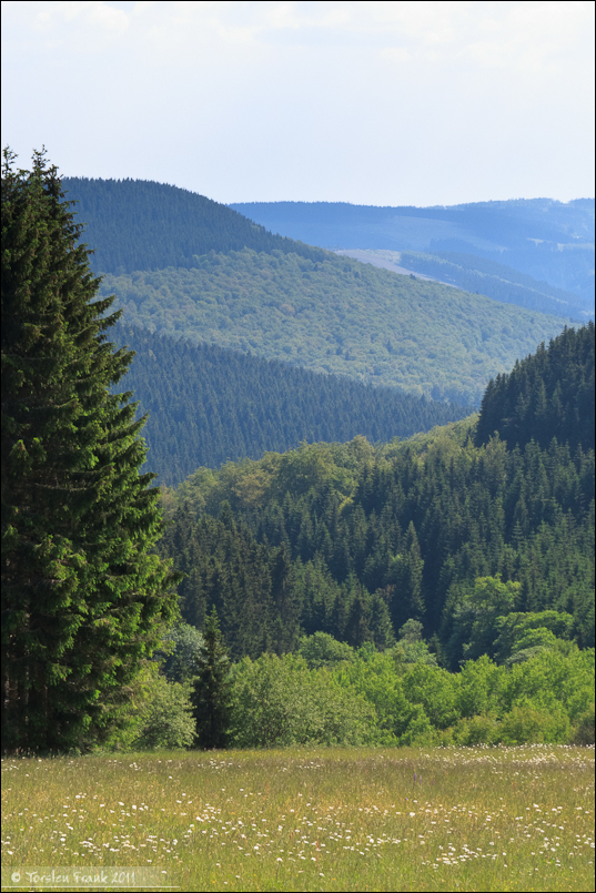
Sauerland-View to Schmallenberg
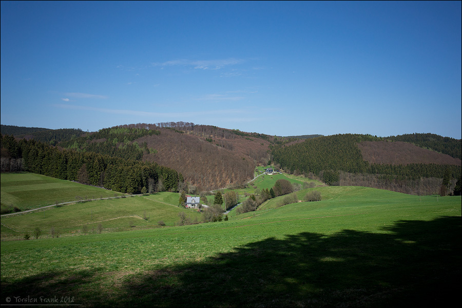
Schlade view
Rothaar Hillsides
Trambach View
Topographic Map of Wälder um Oster- und Moselkopf, Bad Berleburg, Germany
Find elevation by address:

Places near Wälder um Oster- und Moselkopf, Bad Berleburg, Germany:
Girkhausen
Diedenshausen
Hallenberger Wald
Alertshausen
Dorfstraße 10, Bad Berleburg, Germany
Burghelle 1, Bad Berleburg, Germany
Zum Billing 13, Bad Berleburg, Germany
Schwarzenau
Arfetalstraße 56, Bad Berleburg, Germany
Liesen
Neustadt 7, Hallenberg, Germany
Hallenberg
Hatzfeld
Richstein
Battenberg
Allendorf
Hombergstraße 9, Frankenberg (Eder), Germany
Rengershausen
Scheidstraße 10, Lichtenfels, Germany
Neukirchen
Recent Searches:
- Elevation of Corso Fratelli Cairoli, 35, Macerata MC, Italy
- Elevation of Tallevast Rd, Sarasota, FL, USA
- Elevation of 4th St E, Sonoma, CA, USA
- Elevation of Black Hollow Rd, Pennsdale, PA, USA
- Elevation of Oakland Ave, Williamsport, PA, USA
- Elevation of Pedrógão Grande, Portugal
- Elevation of Klee Dr, Martinsburg, WV, USA
- Elevation of Via Roma, Pieranica CR, Italy
- Elevation of Tavkvetili Mountain, Georgia
- Elevation of Hartfords Bluff Cir, Mt Pleasant, SC, USA