Elevation of W Eagle Pass Ave, Alpine, TX, USA
Location: United States > Texas > Brewster County > Alpine >
Longitude: -103.67361
Latitude: 30.3614936
Elevation: -10000m / -32808feet
Barometric Pressure: 295KPa
Elevation Map:
Satellite Map:
Related Photos:

Mountain View Guest House

"View of Alpine" Mural Alpine TX (2)

Old Post Office 79830 (Alpine, Texas)

"View of Alpine" Mural Alpine TX

West Texas Trip, Day 3 - 3

The best view in Alpine

Amtrak 2011 01 31 Los Angeles - New Orleans

West Texas Trip, Day 1 - 4

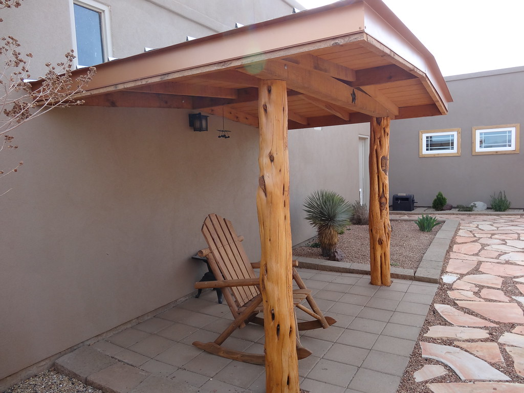
Mountain View Guest House

Alpine, the view from my window
Mountain View Guest House

West Texas Trip, Day 3 - 2

View from a geocache

View from my hotel room

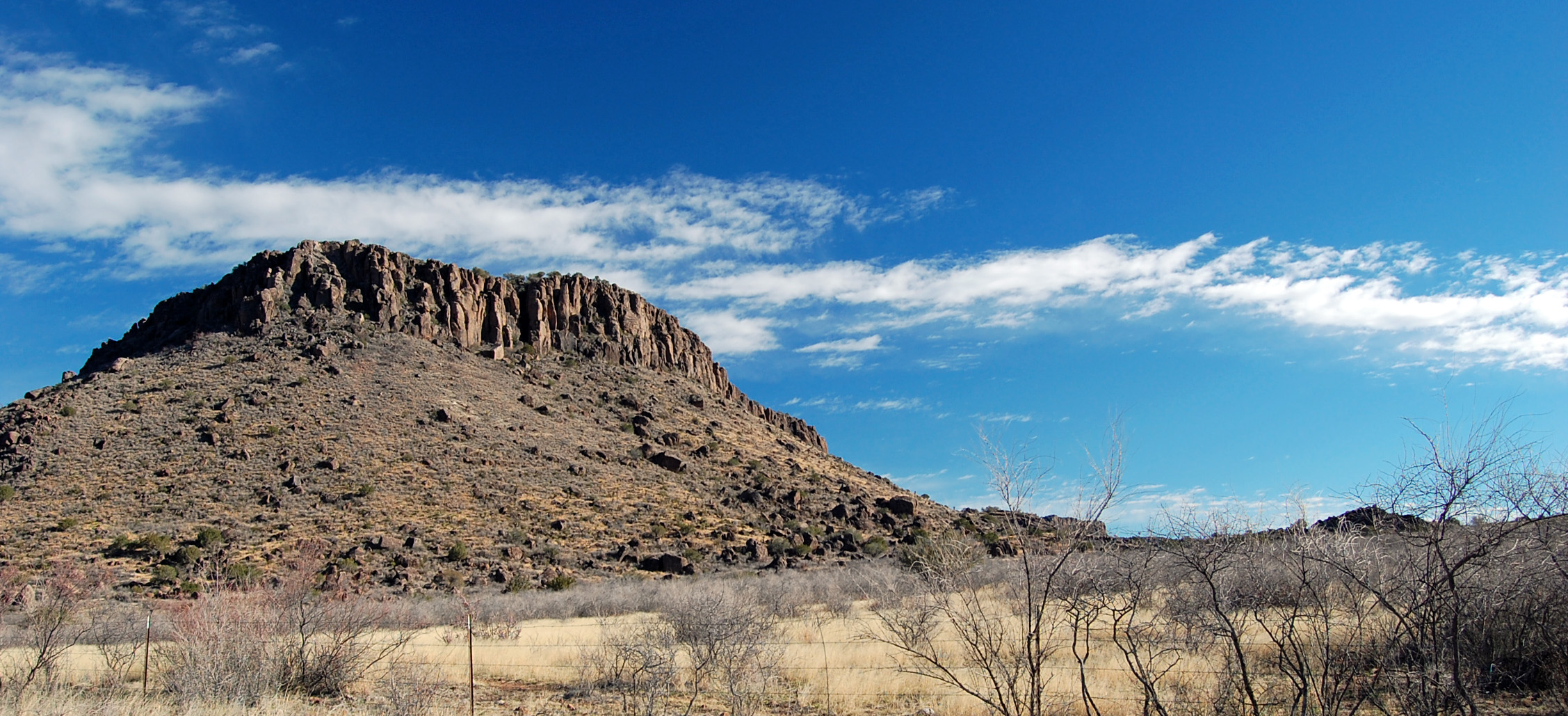
View of Davis Mountains, Texas

View of Davis Mountains, Texas

Mountain View Guest House

Alpine Storm

HIP_315426871.492134

20171121_122344-01

Alpine, Tx

Yucca on the mountain.
Tx Highway 118 Between Alpine & Ft. Davis 2.5.2013

Tx Highway 118 Between Alpine & Ft. Davis 2.5.2013

2008 03 22_BB_0754_edited-1

West Texas Trip, Day 2 - 10

Have not seen a single other soul for miles. We've got the road to ourselves. #harmony #westtexas #texas #marfa #motorcycle #bike #biker #roadtrip #ontheroad #crosscountry #solitude

Big Bend 2017-010

West of Alpine, Texas, too

Tx Highway 118 Between Alpine & Ft. Davis 2.5.2013
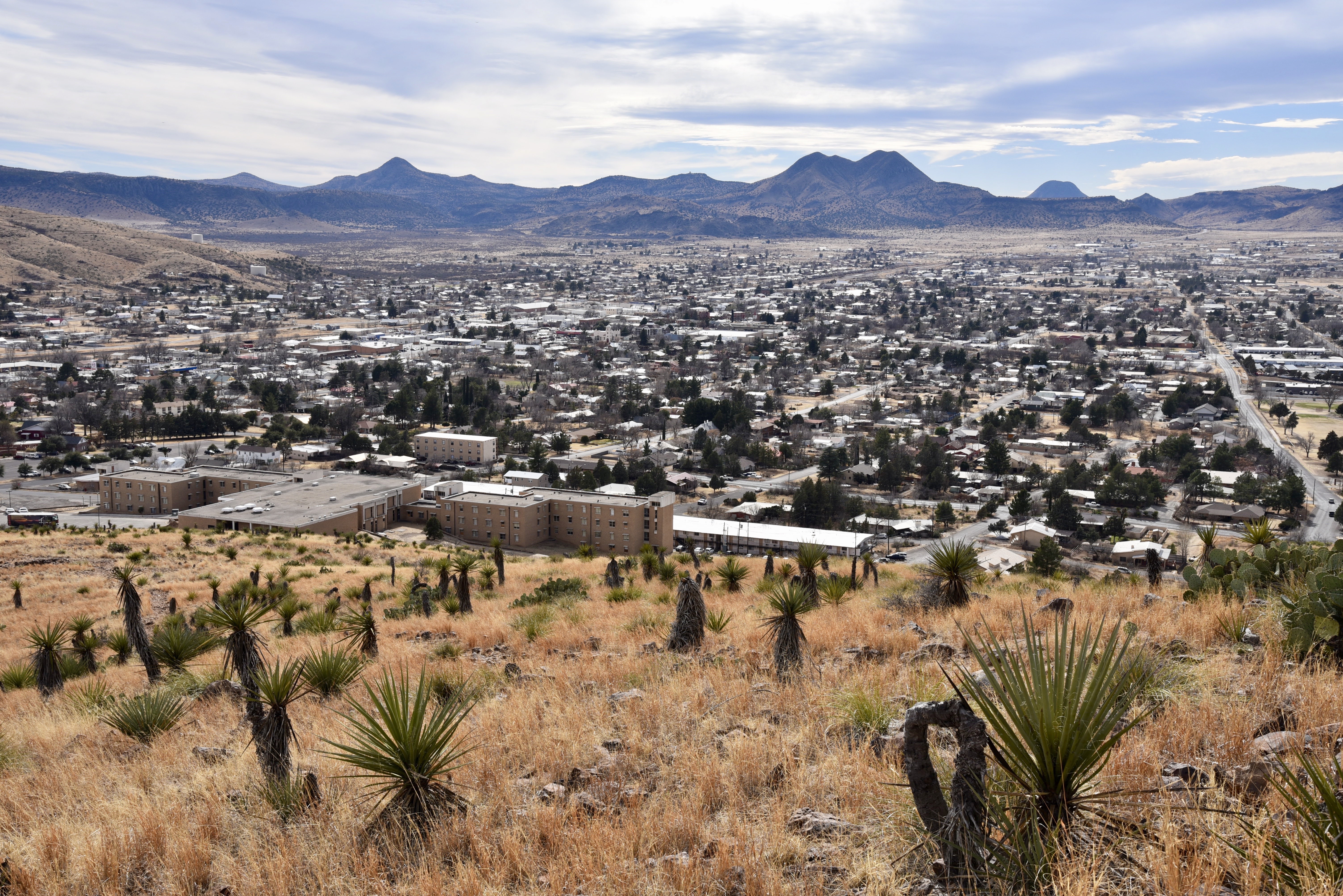
Sul Ross University and Alpine TX from Hancock Hill

Tx Highway 118 Between Alpine & Ft. Davis 2.5.2013

Sunrise Vanishing Point

Tx Highway 118 Between Alpine & Ft. Davis 2.5.2013

Striking!

Brewster County TX_November 19, 2016-30.jpg

Bicycle Tree

Sunset over Alpine
Topographic Map of W Eagle Pass Ave, Alpine, TX, USA
Find elevation by address:

Places near W Eagle Pass Ave, Alpine, TX, USA:
906 W Eagle Pass Ave
902 W Eagle Pass St
Alpine
206 N 4th St
Kokernot Baseball Park
314 John West Rd
1018 Matewan Dr
106 Black Walnut
Chihuahuan Desert Research Institute
Antelope Hills Road
Fort Davis
State St, Fort Davis, TX, USA
Texas Mountain Realty
Fort Davis National Historic
S Dean St, Marfa, TX, USA
Davis Mountains State Park
Marfa
10 Tx-118
02 Ranch Airport-46te
93952 Us-67
Recent Searches:
- Elevation of Corso Fratelli Cairoli, 35, Macerata MC, Italy
- Elevation of Tallevast Rd, Sarasota, FL, USA
- Elevation of 4th St E, Sonoma, CA, USA
- Elevation of Black Hollow Rd, Pennsdale, PA, USA
- Elevation of Oakland Ave, Williamsport, PA, USA
- Elevation of Pedrógão Grande, Portugal
- Elevation of Klee Dr, Martinsburg, WV, USA
- Elevation of Via Roma, Pieranica CR, Italy
- Elevation of Tavkvetili Mountain, Georgia
- Elevation of Hartfords Bluff Cir, Mt Pleasant, SC, USA