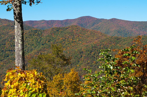
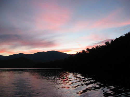
Elevation of W Buffalo Rd, Robbinsville, NC, USA

Location: United States > North Carolina > Graham County > Cheoah >

Longitude: -83.888183

Latitude: 35.328454

Elevation: 597m / 1959feet

Barometric Pressure: 94KPa

Elevation Map:

elevation map of W Buffalo Rd, Robbinsville, NC, USA

Satellite Map:

Satellite map of W Buffalo Rd, Robbinsville, NC, USA

Related Photos:

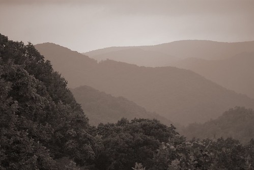
pink camping sunset camp vacation sky holiday mountains nature sunglasses forest nc haze nikon view outdoor dusk northcarolina shades ridge vista 1755mmf28g hazy laborday skyway mountaintop appalachianmountains cherohalaskyway nantahalanationalforest joycekilmermemorialforest robbinsville d80 smokymoutains santeetlahgap rattlerfordcampground cheoahrangerdistrict
rosy filter
camping sunset camp vacation sky holiday mountains nature forest nc haze nikon view outdoor dusk northcarolina ridge vista 1755mmf28g hazy laborday skyway mountaintop appalachianmountains cherohalaskyway nantahalanationalforest joycekilmermemorialforest robbinsville d80 smokymoutains santeetlahgap rattlerfordcampground cheoahrangerdistrict
i was up above it
camping sunset camp vacation sky sun holiday mountains nature clouds forest nc haze nikon view outdoor dusk northcarolina ridge vista 1755mmf28g hazy laborday skyway mountaintop appalachianmountains cherohalaskyway nantahalanationalforest joycekilmermemorialforest robbinsville d80 smokymoutains santeetlahgap rattlerfordcampground cheoahrangerdistrict
Cherohala Skyway
travel winter usa mountains nature landscape landscapes nc northcarolina carolina nationalparks smokymountains greatsmokymountains greatsmokymountainsnationalpark gsmnp westernnc westernnorthcarolina ncmountains fontanadam rickanderson northcarolinamountains grahamcounty northcarolinalandscape nctourism grahamcountync visitnc fontanadamnc fontanadamnorthcarolina rickandersonphotography
Great Smoky Mountains National Park
camping sunset camp vacation sky holiday mountains nature forest nc haze nikon view outdoor dusk northcarolina ridge vista hazy laborday skyway mountaintop appalachianmountains cherohalaskyway nantahalanationalforest joycekilmermemorialforest robbinsville d80 105mmf28gvrmicro smokymoutains santeetlahgap rattlerfordcampground cheoahrangerdistrict
smoky mountains
sky mountains landscape view northcarolina smokies fontanalake
Smokies-20110311-237
1001nightsmagiccity 1001nightsmagiccity1001nightsfontanadamnorthcarolinariverlittletennesseewatermountainrailingwalkwaysidewalk1001nights1001nightsmagiccity
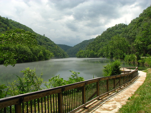
View of the Little Tennessee River
usa landscape geotagged unitedstates hiking northcarolina backpacking hdr greatsmokymountainsnationalpark gsmnp fontanadam photomatix fontanavillage fontanalake canon7d sigma18250mmf3563dcmacrooshsm geo:lat=3545184436 geo:lon=8380236985
GSMNP Backpack Day 6 - June 28, 2014 - View Downstream of Fontana Dam
us raw unitedstates sony northcarolina fullframe alpha lightroom motd fontanadam twitter minionthedragon 500px a7r tumblr
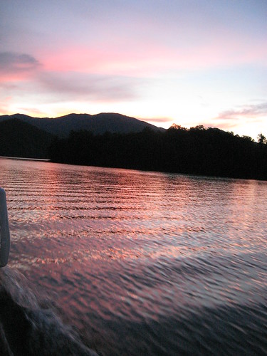
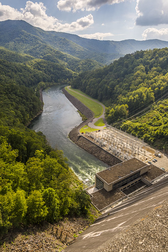
View from the Dam
Back to the Smokies in 33 days and counting
Mountain views
sign nationalpark northcarolina highwaysign appalachiantrail greatsmokymountains fontanadam bentonmackayetrail swaincounty nikond800
140706-3175 Fontana Dam
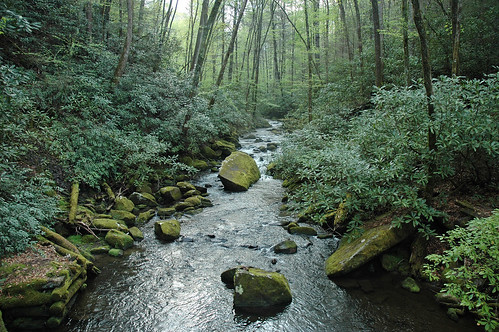
green nature forest stream naturesfinest joycekilmernationalforest
the sylvan way
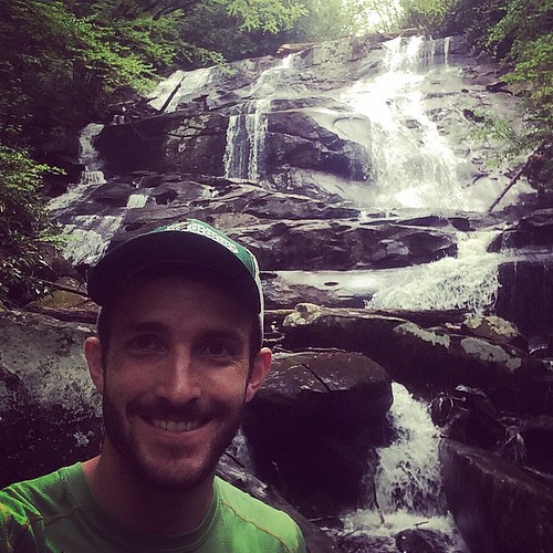
square squareformat amaro iphoneography instagramapp uploaded:by=instagram
Sassafras Falls in the #snowbird wilderness...couldn't find the trail so we hiked up the creek...a well earned view :) #brysoncityoutdoors #lifeoutside
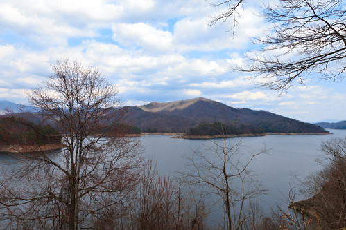
sky mountains landscape view northcarolina smokies fontanalake
Smokies-20110311-220.jpg
a view from a bridge
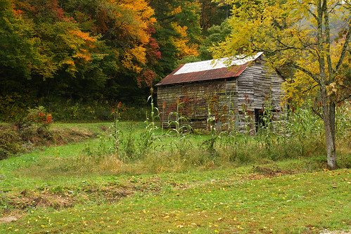
log barns shed historic smokehouse greatsmokymountainnationalpark corncribes
Historic Log Structures
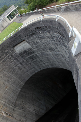
city lake water village hole dam tennessee north carolina huge fontana tva overflow bryson enormous hydroelectric spillway img3105
scariest hole in the world: fontana dam spillway
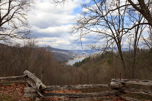
sky mountains fence landscape view northcarolina smokies fontanalake
Smokies-20110311-217.jpg
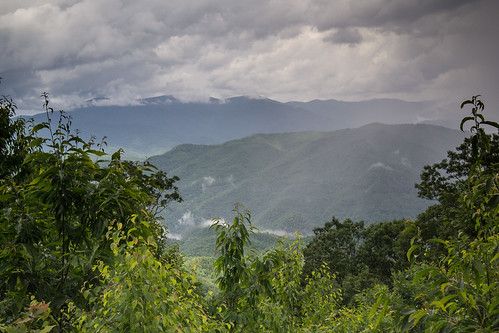
summer cloud storm nature misty clouds landscape view country wideangle appalachian
Stormy Smokeys
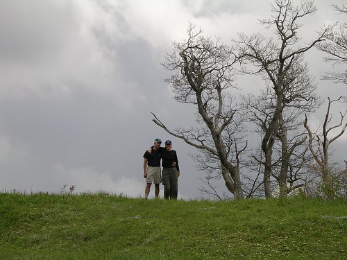
usa mountains nc view hiking meadow northcarolina backpacking joycekilmer robbinsville strattonbald
Mike and Amber on Sratton Bald
blue sky lake nature water day dam northcarolina sunny clear fontana tailofthedragon s100
Fontana Dam
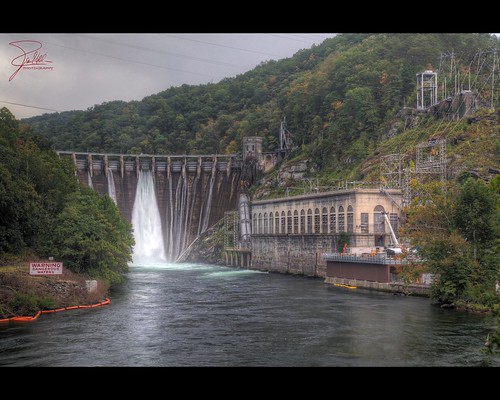
canon unitedstates dam harrisonford northcarolina f11 tva hdr 24105 thefugitive tennesseevalleyauthority tapoco littletennesseeriver canonef24105mmf4lis ef24105mmf4lisusm us129 canoneos5dmarkii cheoahdam cheoahlake tapocoroad
Cheoah Dam
dam northcarolina appalachian fontana tva tennesseevalleyauthority
Little Tennessee
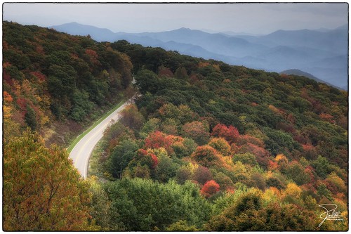
autumn canon unitedstates northcarolina f11 hdr indiansummer 24105 mcguires cherohalaskyway canonef24105mmf4lis ef24105mmf4lisusm canoneos5dmarkii statehighway143
Cherohala Skyway
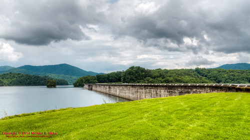
hdr circularpolarizer greatsmokymountains greatsmokymountainsnationalpark fontanadam
Fontana Dam
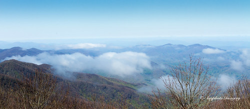
mountains nature clouds outdoors us unitedstates scenic northcarolina robbinsville augphotoimagery
Blue Vista
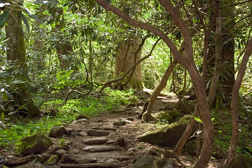
forest northcarolina hike trail nantahalanationalforest joycekilmermemorialforest lovephotography
Into the Woods
usa geotagged unitedstates hiking northcarolina backpacking greatsmokymountainsnationalpark gsmnp fontanadam fontanavillage canon7d sigma18250mmf3563dcmacrooshsm geo:lat=3545261300 geo:lon=8380812800
GSMNP Backpack Day 6 - June 28, 2014 - Approaching Fontana Dam
pink sunset sky cloud mountain lake reflection water rose lakesanteetlah bluewatersmountainlodge
Blue Waters 2012
northcarolina appalachiantrail fontanadam littletennesseeriver grahamcounty nikond800 cheoahlake
140706-3151 Fontana Dam
usa geotagged unitedstates hiking northcarolina backpacking greatsmokymountainsnationalpark gsmnp fontanadam fontanavillage canon7d sigma18250mmf3563dcmacrooshsm geo:lat=3545272233 geo:lon=8380449800
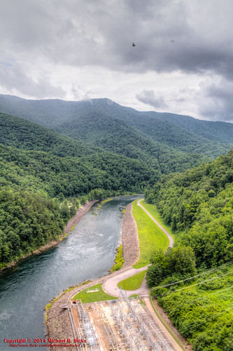
GSMNP Backpack Day 6 - June 28, 2014 - Downstream of Fontana Dam
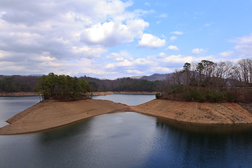
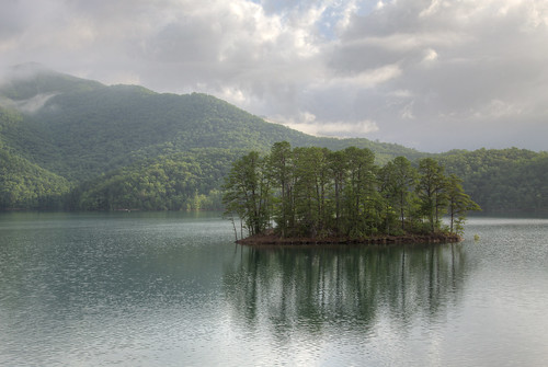
summer landscape island escape dam hill calm serene tranquil folliage
Fontana Dam Island
nationalpark northcarolina appalachiantrail greatsmokymountains fontanadam littletennesseeriver fontanalake swaincounty nikond800
140706-3174 Fontana Lake
2010 cherohala d5000 obadiahgap roadtrip2010
Obadiah Gap on the Cherohala Skyway
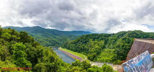
panorama usa landscape geotagged unitedstates hiking northcarolina backpacking hdr greatsmokymountainsnationalpark gsmnp ptgui fontanadam photomatix fontanavillage fontanalake canon7d sigma18250mmf3563dcmacrooshsm geo:lat=3545274186 geo:lon=8380432843
GSMNP Backpack Day 6 - June 28, 2014 - Panorama from Fontana Dam
pink sunset sky cloud mountain lake reflection water rose lakesanteetlah bluewatersmountainlodge
Blue Waters 2012
pink sunset sky cloud mountain lake reflection water rose lakesanteetlah bluewatersmountainlodge
Blue Waters 2012