Elevation of W Belfair Valley Rd, Bremerton, WA, USA

Location: United States > Washington > Kitsap County > Bremerton >

Longitude: -122.79746

Latitude: 47.499851

Elevation: 54m / 177feet

Barometric Pressure: 101KPa

Elevation Map:

elevation map of W Belfair Valley Rd, Bremerton, WA, USA

Satellite Map:

Satellite map of W Belfair Valley Rd, Bremerton, WA, USA

Related Photos:

141stavenw 141stavenuenw america gigharbor keypeninsulanorth pnw pacificnorthwest stansberrylake usa unitedstates washington cloud freshwater jfflickr kpn lake mist panorama photosbydavid plant postedonflickr reflection sky tree water
Lake View 2016 08 28 01
america piercecounty stansberrylake usa unitedstates washington animal bird clkoud iphoneography jfflickr photosbydavid plant postedonfb postedonflickr sky tree wildlife gigharbor unitedstatesofamerica
Sky View 2020 04 19 01
america piercecounty stansberrylake usa unitedstates washington animal bird clkoud iphoneography jfflickr photosbydavid plant postedonello postedonflickr sky tree wildlife gigharbor unitedstatesofamerica
Sky View 2020 04 19 02
141stavenw 141stavenuenw america gigharbor keypeninsulanorth pnw pacificnorthwest piercecounty stansberrylake usa unitedstates washington jfflickr kpn lake photosbydavid plant postedonflickr tree
Lake View 2016 09 26 02
141stavenw america keypeninsulanorth piercecounty rosespiraea spiraeadouglasii stansberrylake usa unitedstates washington animal bird freshwater goose iphoneography jfflickr lake photosbydavid plant postedonflickr reflection sky tree water wildlife gigharbor unitedstatesofamerica
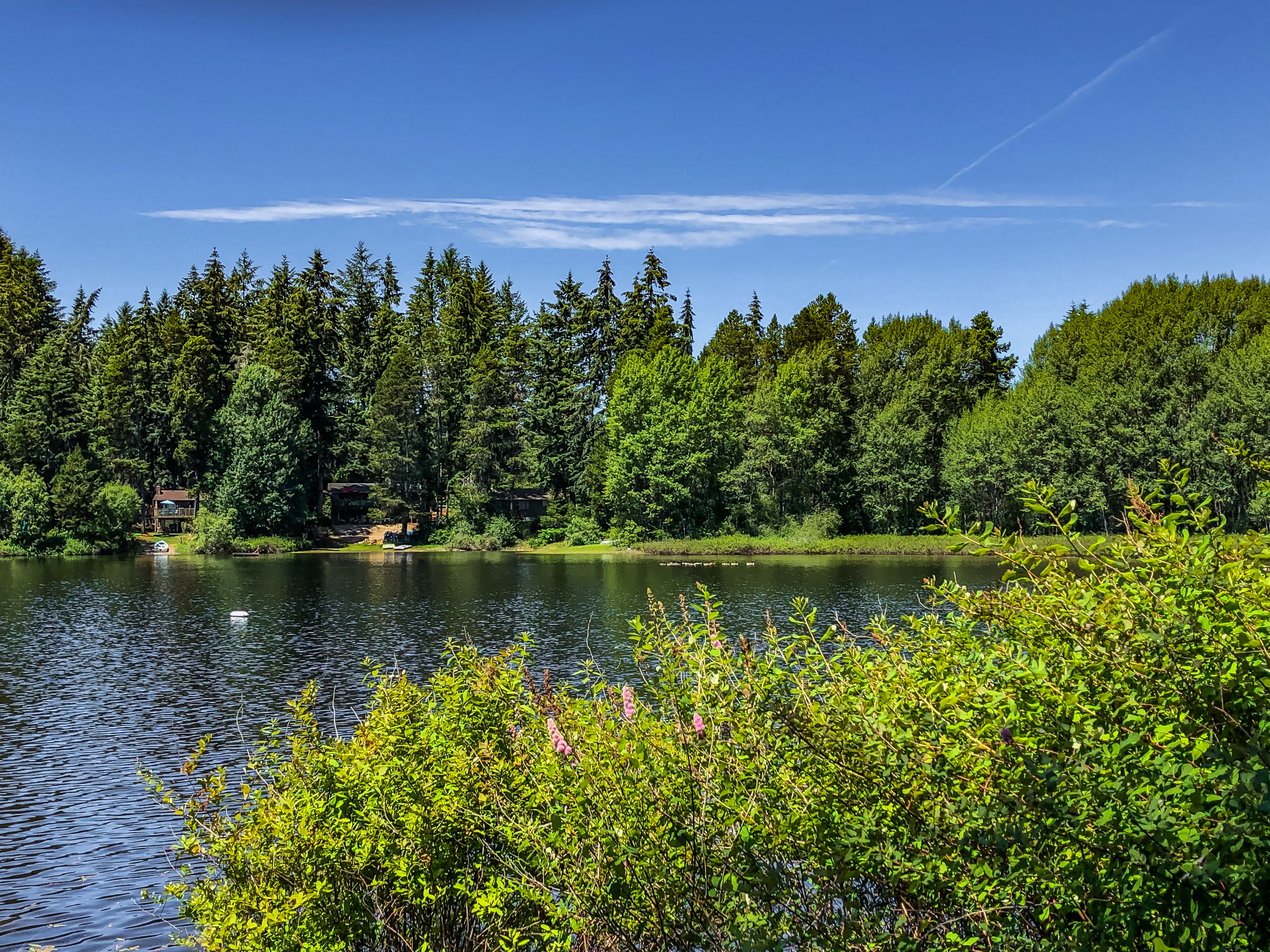
Lake View 2020 06 26 01
pantherlake galaxys9 cloudsstormssunsetssunrises wildfire breathtakinglandscapes
Panther Lake
141stavenw 141stavenuenw america gigharbor keypeninsulanorth pnw pacificnorthwest stansberrylake usa unitedstates washington westernbalsampoplar cloud fog freshwater grass jfflickr kpn lake photosbydavid plant postedonflickr reflection sky tree water
Lake View 2016 09 30 01
kitsappeninsula lake wetland grass spiraeadouglasii steeplebush galaxys9
Frogs Eye View
141stavenw 141stavenuenw america keypeninsulanorth pnw pacificnorthwest piercecounty stansberrylake usa unitedstates washington freshwater jfflickr kpn lake photosbydavid plant postedonflickr sky tree water gigharbor
Lake View 2017 04 08 01
kitsappeninsula olympicpeninsula olympicmountains sunset pantherlake galaxys9
Panther Lake Sunset
wetland kitsappeninsula flood trail galaxys6
Another view of my deepest trail
lake wetland kitsappeninsula galaxys9 spiraeadouglasii harhack steeplebush gaultheriashallon salal trail flood duckseye grass
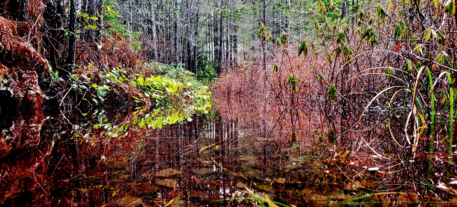
Ducks Eye View of the Wetland
141stavenw 141stavenuenw america keypeninsula pnw pacificnorthwest piercecounty stansberrylake usa unitedstates washington animal bird jfflickr photosbydavid plant postedonflickr postedonmewe tree wildlife gigharbor
Sky View 2017 04 01 09
lake wetland kitsappeninsula trail flood galaxys9 swordfern polystichummunitum salal gaultheriashallon hardhack steeplebush spiraeadouglasii detritus
Ducks Eye View
lake wetland flood kitsappeninsula galaxys9 duckseyeview detritus swordfern polystichummunitum salal gaultheriashallon hardhack steeplebush spiraeadouglasii
A New Angle
sinclairinlet bremerton pugetsound galaxys9 warrenstreetbridge cloudsstormssunsetssunrises
The Sinclair Inlet in Bremerton
141stavenw 141stavenuenw america keypeninsula pnw pacificnorthwest piercecounty stansberrylake usa unitedstates washington cloud jfflickr photosbydavid postedonflickr sky gigharbor
Sky View 2017 04 02 16
141stavenw 141stavenuenw america keypeninsula pnw pacificnorthwest piercecounty stansberrylake usa unitedstates washington cloud jfflickr photosbydavid plant postedonflickr sky tree gigharbor
Sky View 2017 04 02 09
141stavenw 141stavenuenw america keypeninsula pnw pacificnorthwest piercecounty stansberrylake usa unitedstates washington cloud jfflickr photosbydavid plant postedonflickr sky tree gigharbor
Sky View 2017 04 02 06
141stavenw 141stavenuenw america bandtailedpigeon keypeninsula pnw pacificnorthwest patagioenasfasciata piercecounty stansberrylake usa unitedstates washington bird jfflickr photosbydavid pigeon postedonello postedonflickr wildlife gigharbor
Living Room Viewing
141stavenw 141stavenuenw america keypeninsula pnw pacificnorthwest piercecounty stansberrylake usa unitedstates washington cloud jfflickr photosbydavid postedonflickr sky gigharbor
Sky View 2017 04 02 01
lake wetland kitsappeninsula blizzard spiraeadouglasii steeplebush galaxys9
Wetland Blizzard
kitsappeninsula galaxys9 lake wetland glaciers ice snow spiraeadouglasii hardhack steeplebush
The Glacier is Melting
lake wetland horizontaltree fog salal gaultheriashallon grass hardhack steeplebush spiraeadouglasii
The Last Big Rain Storm
a7rii alpha bremerton e55210mmf4563oss emount ilce7rm2 kitsap olympicmountains olympicnationalpark olympicpeninsula pacificnorthwest pugetsound sony thebrothers wa washington boats city cityscape ferry fullframe landscape mirrorless mountains snow town trees water
Brothers Over Bremerton
hoodcanal wetland thelerwetlands belfair galaxys6 cloudsstormssunsetssunrises tide saltwatermarsh
Reclaimed wetland at Theler Wetlands park
hoodcanal thelerwetlands tide galaxys9 saltmarsh cloudsstormssunsetssunrises kitsappeninsula
Looking Up the Hood Canal
lake wetland lillypads spiraeadouglasii puddles hardhack steeplebush
The Lake is down to Puddles
unionriver hightide kitsappeninsula thelerwetlands galaxys9
The Union River
lake wetland kitsappeninsula galaxys9 sunset cloudsstormssunsetssunrises snow ice spiraeadouglasii horizontaltree
Icy Wetland
winter clouds canon landscape washington unitedstates seabeck hoodcanal kitsapcounty tamron2875mmf28 beacheslandscapes canon6d stavisbay canoneos6d
Stavis Bay Cove
trip travel vacation holiday nature creek outdoors waterfall washington hiking olympicnationalpark solducfalls
Sol Duc Falls
lake wetland kitsappeninsula sunset galaxys9 salal gaultheriashallon steeplebush spiraeadouglasii lillypads
The Trail to The Lake
lake wetland kitsappeninsula trail galaxys9
The Trail to the Lake
longexposure sunset color water night clouds landscape fire photography evening washington nikon rocks angle uv union wide tokina explore sd filter if pro wa 28 nikkor grip f28 hdr hoya dx atx alderbrook hoodcanal 77mm belfair photomatix chrisfinnegan hwy106 1116mm ewa106 d7000 nikond7000 ifedafs ixfe photographyforrecreation mbd11 chrisfinneganphotography polarizer77mmfilter photomatix426 chrisfinneganphotographycom genuinenikonmbd11 tokinaprosdatx1116mmf28ifdxwideangle
Nikon D7000 Sunset Tokina 11-16mm Wide Angle
longexposure color night clouds landscape photography iso100 washington nikon long exposure shot nightshot angle uv wide overpass wideangle tokina explore filter wa nightshots lighttrails 28 bremerton nikkor grip carlights f28 hoya 77mm nd4 chrisfinnegan 1116mm d7000 tokinawideangle nikond7000 ifedafs ixfe photographyforrecreation mbd11 photographyforrecreationeliteclub chrisfinneganphotography neutraldensitynd4filter chrisfinneganphotographycom genuinenikonmbd11 photographyforrecreationclassic tokinaprosdatx1116mmf28ifdx
Don't let TIME pass you by...
lake wetland kitsappeninsula fog galaxys9 spiraeadouglasii steeplebush hardhack
Snow and Ice from February
wetland kitsappeninsula unionriver thelerwetlands sunset cloudsstormssunsetssunrises galaxys6
An arm of the Union River
wetland kitsappeninsula galaxys9 rhododendrons salal gaultheriashallon
The Trail to the Wetland"
chainlink fence kitsappeninsula galaxys9
Tenacious Snow
hoodcanal belfair kitsappeninsula tides olympicpeninsula sunset galaxys9
Hood Canal and It's Tides