Elevation of W 22nd St, Higginsville, MO, USA
Location: United States > Missouri > Lafayette County > Higginsville >
Longitude: -93.719581
Latitude: 39.0726437
Elevation: 255m / 837feet
Barometric Pressure: 98KPa
Elevation Map:
Satellite Map:
Related Photos:

Higginsville MP Crossing

Memorial Chapel

Higginsville MP Crossing

IMG_5949.jpg

Stormy evening on the road

Stormy evening on the road

Confederate Memorial Cemetery in Higginsville, MO. #missouri #confederatememorial #civilwar #history

Farm on the hill (Using auto camera mode)

Gravel road and an almost clear sky

Can see the barn just over the hill. Tree growing out of the old silo too.
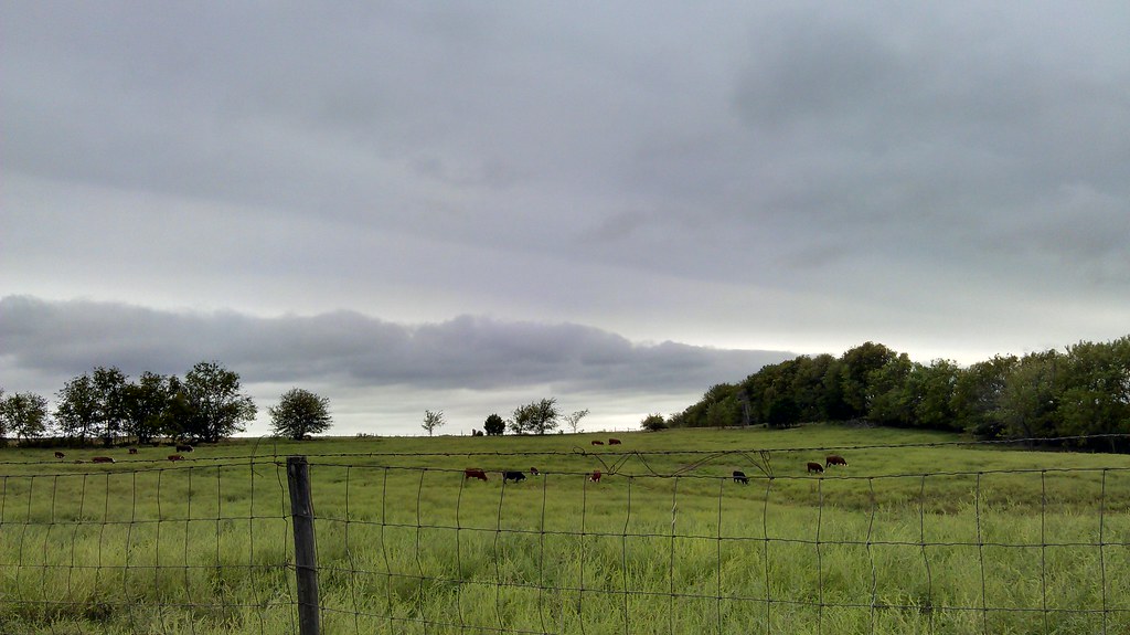
Cows in a field. This is Missouri excitement! Lol

I really love this simple shot. Clouds over a cornfield.

Gravel road and a clear blue sky.

Farm house on the hill.

Stormy evening on the road

Love this one! Field and clouds.

Missouri 2008-09-24

Camera Roll-2071
Topographic Map of W 22nd St, Higginsville, MO, USA
Find elevation by address:

Places near W 22nd St, Higginsville, MO, USA:
Higginsville
Davis Township
Sallie St, Mayview, MO, USA
Alma
Collins St, Alma, MO, USA
Middleton Township
96 NW th Rd, Warrensburg, MO, USA
Hazel Hill Township
Hardin, MO, USA
E Main St, Hardin, MO, USA
Hardin
Odessa
Crooked River Township
NW th Rd, Warrensburg, MO, USA
Lafayette County
Stonehouse East Pine Pub
Warrensburg
1740 Hwy Oo
Sni-a-bar Township
S Elm St, Sweet Springs, MO, USA
Recent Searches:
- Elevation of Corso Fratelli Cairoli, 35, Macerata MC, Italy
- Elevation of Tallevast Rd, Sarasota, FL, USA
- Elevation of 4th St E, Sonoma, CA, USA
- Elevation of Black Hollow Rd, Pennsdale, PA, USA
- Elevation of Oakland Ave, Williamsport, PA, USA
- Elevation of Pedrógão Grande, Portugal
- Elevation of Klee Dr, Martinsburg, WV, USA
- Elevation of Via Roma, Pieranica CR, Italy
- Elevation of Tavkvetili Mountain, Georgia
- Elevation of Hartfords Bluff Cir, Mt Pleasant, SC, USA