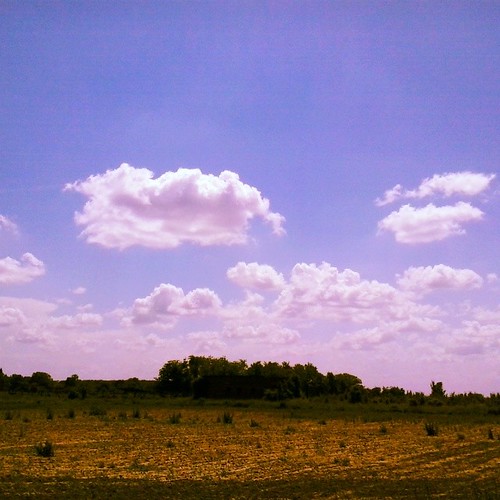
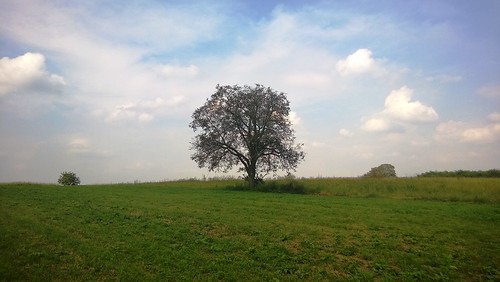
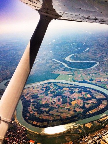
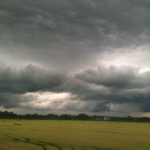
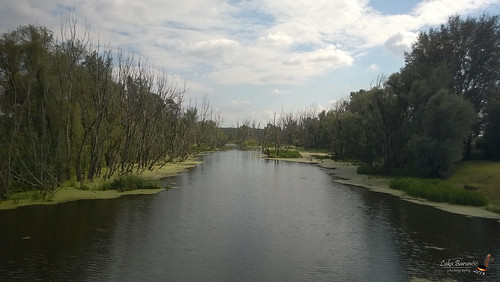
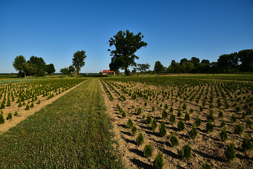
Elevation map of Vukovar-Srijem County, Croatia
Location: Croatia >
Longitude: 18.8053527
Latitude: 45.1773552
Elevation: 77m / 253feet
Barometric Pressure: 100KPa
Related Photos:
Topographic Map of Vukovar-Srijem County, Croatia
Find elevation by address:

Places in Vukovar-Srijem County, Croatia:
Places near Vukovar-Srijem County, Croatia:
Općina Vinkovci
Vinkovci
Ul. kralja Zvonimira, Vinkovci, Croatia
Općina Šodolovci
Šodolovci
Ul. Stjepana Radića 78, Forkuševci, Croatia
Forkuševci
Osijek Oblast
Općina Viškovci
Osijek
Osijek-baranja County
Općina Kneževi Vinogradi
Backa Palanka
Općina Beli Manastir
Zmajevac
Beli Manastir
Parage
Batina
Sombor
West Bačka District
Recent Searches:
- Elevation of Corso Fratelli Cairoli, 35, Macerata MC, Italy
- Elevation of Tallevast Rd, Sarasota, FL, USA
- Elevation of 4th St E, Sonoma, CA, USA
- Elevation of Black Hollow Rd, Pennsdale, PA, USA
- Elevation of Oakland Ave, Williamsport, PA, USA
- Elevation of Pedrógão Grande, Portugal
- Elevation of Klee Dr, Martinsburg, WV, USA
- Elevation of Via Roma, Pieranica CR, Italy
- Elevation of Tavkvetili Mountain, Georgia
- Elevation of Hartfords Bluff Cir, Mt Pleasant, SC, USA
