Elevation of Volcán Tajumulco, Guatemala
Location: Guatemala > San Marcos Department >
Longitude: -91.904502
Latitude: 15.0427332
Elevation: 4166m / 13668feet
Barometric Pressure: 60KPa
Elevation Map:
Satellite Map:
Related Photos:
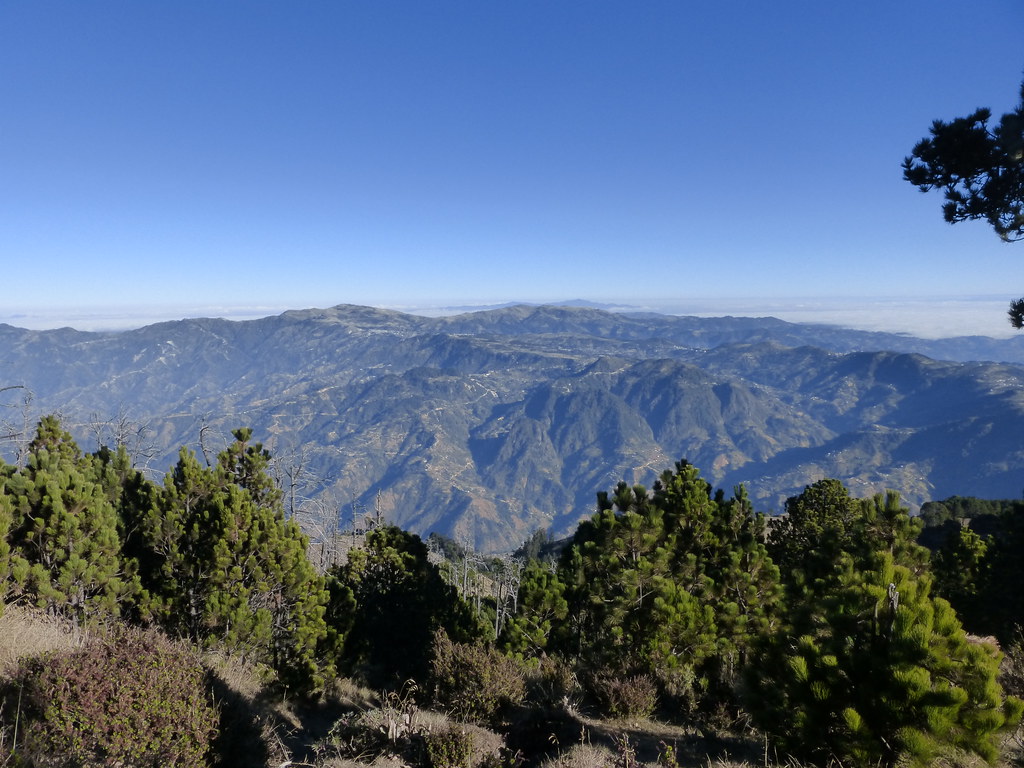
Guatemala_2014 665 View to north from Volcán Tajumulco
Topographic Map of Volcán Tajumulco, Guatemala
Find elevation by address:

Places near Volcán Tajumulco, Guatemala:
San Marcos Department
San Marcos
San Antonio Sacatepéquez
Tacaná Volcano
Tercera Nte 4, Centro, Ejido del Centro, Chis., Mexico
Carrillo Puerto
Centro
Quetzaltenango Department
Álvaro Obregón, Vicente Guerrero, Chis., Mexico
Vicente Guerrero
Mz9 Lt262
Mar Egeo 11, Bonanza, Tapachula de Córdova y Ordoñez, Chis., Mexico
Bonanza
Canal de Panamá 9, Las Americas 1ra Secc, Tapachula de Córdova y Ordoñez, Chis., Mexico
Tapachula De Córdova Y Ordoñez
Tapachula
San Jose El Eden
48A. Oriente 5, San Jose el Eden, Tapachula de Córdova y Ordoñez, Chis., Mexico
Loma Linda
Gustavo Díaz Ordaz 43, Loma Linda, Tapachula de Córdova y Ordoñez, Chis., Mexico
Recent Searches:
- Elevation of Corso Fratelli Cairoli, 35, Macerata MC, Italy
- Elevation of Tallevast Rd, Sarasota, FL, USA
- Elevation of 4th St E, Sonoma, CA, USA
- Elevation of Black Hollow Rd, Pennsdale, PA, USA
- Elevation of Oakland Ave, Williamsport, PA, USA
- Elevation of Pedrógão Grande, Portugal
- Elevation of Klee Dr, Martinsburg, WV, USA
- Elevation of Via Roma, Pieranica CR, Italy
- Elevation of Tavkvetili Mountain, Georgia
- Elevation of Hartfords Bluff Cir, Mt Pleasant, SC, USA