Elevation of Vogel State Park Rd, Blairsville, GA, USA
Location: United States > Georgia > Union County > Blairsville >
Longitude: -83.919706
Latitude: 34.767036
Elevation: 714m / 2343feet
Barometric Pressure: 93KPa
Elevation Map:
Satellite Map:
Related Photos:

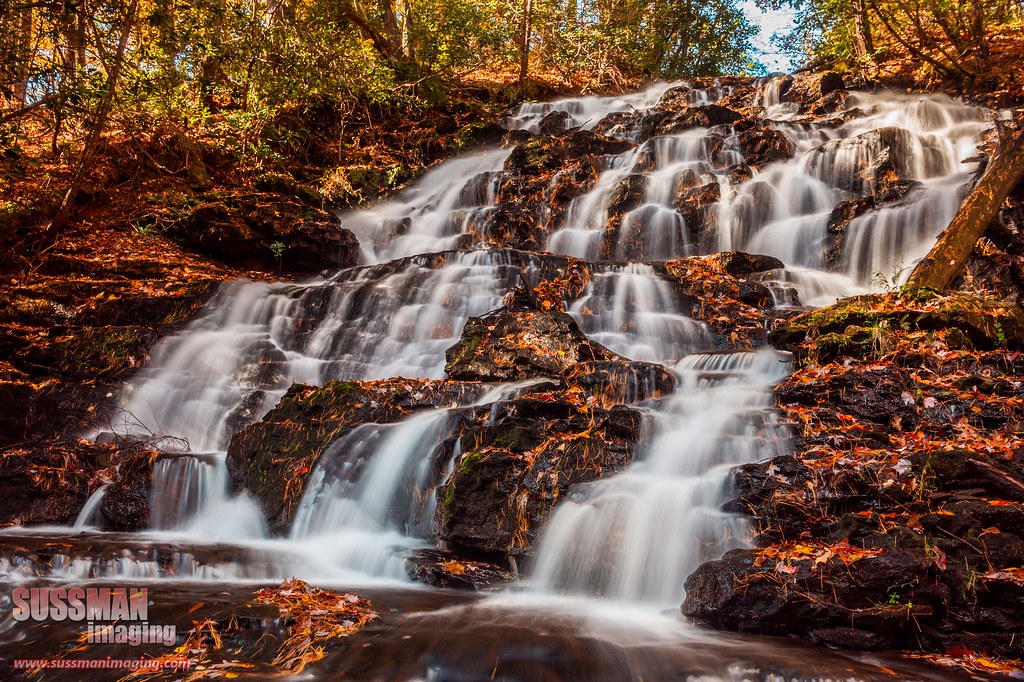
Maindenhair Falls

Maidenhair Falls

Maidenhair Falls

Dodd Creek Falls

Dodd Creek Falls

Autumn at Dockery Lake

Winter Jewel

Falls on Dukes Creek

Dukes Creek Falls

Lower Falls Helton Creek

Dodd Creek Falls

Falls on Dukes Creek

Falls on Dukes Creek

Dover Falls

Sweet White Trillium

Upper Helton Creek Falls

Dodd Creek Falls
Wolf Creek Falls

Faucet Falls

Horsetrough Falls

Falls on Dukes Creek

Maidenhair Falls

Dodd Creek Falls

Maidenhair Falls
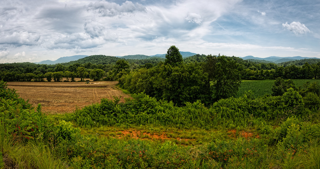
Finish the plowing before it rains
Topographic Map of Vogel State Park Rd, Blairsville, GA, USA
Find elevation by address:

Places near Vogel State Park Rd, Blairsville, GA, USA:
Vogel State Park Road
Vogel State Park Road
405 Vogel State Park Rd
279 Cindy Cove Rd
Cindy Cove Road
Wolf Pen Gap Road
65 Middle Rd
341 Chestnut Ridge Rd
Chestnut Cove Road
Scenic Drive
Allison Ridge Road
1125 Old Sullivan Rd
Sosebee Cove
160 Champ Lance Rd
236 Flat Rock Ridge Rd
Grassy Knoll
153 Wolf Creek View
Flat Rock Ridge Road
7568 Gainesville Hwy
Scona Lane
Recent Searches:
- Elevation of Corso Fratelli Cairoli, 35, Macerata MC, Italy
- Elevation of Tallevast Rd, Sarasota, FL, USA
- Elevation of 4th St E, Sonoma, CA, USA
- Elevation of Black Hollow Rd, Pennsdale, PA, USA
- Elevation of Oakland Ave, Williamsport, PA, USA
- Elevation of Pedrógão Grande, Portugal
- Elevation of Klee Dr, Martinsburg, WV, USA
- Elevation of Via Roma, Pieranica CR, Italy
- Elevation of Tavkvetili Mountain, Georgia
- Elevation of Hartfords Bluff Cir, Mt Pleasant, SC, USA