Elevation of Vittalwadi, Maharashtra, India
Location: India > Maharashtra > Satara >
Longitude: 73.8727799
Latitude: 17.3540938
Elevation: 597m / 1959feet
Barometric Pressure: 94KPa
Elevation Map:
Satellite Map:
Related Photos:

Veru-malle (Telugu: వేరుమల్లె)

KoyanaNagar Sunrise

My first visit to Valley of flowers #kaas #Satara #Wai #flowers #blooms #Monsoonblooms #flora #september #nikon #d5100 #50mm #instatravel #itravelbug #natgeotravel #incredibleindia #streetography #maharashtra #india #indianshutterbugs #indianexpress

#macros #macrophotography #dewdrops #nature #iphone4 with #lifetron lens. #green world. #justvagabondtraveldiary

#Nature #Green #instanature #instaflower #instapic #nofilter

#flower is a #storyteller. It teaches you the phases of life. Lean to Learn. #kaas #platue #valley #NatureInFocus

Pune-Ratnagiri

Ganpatipule-Swargate

Ratnagiri-Pune
Patan-Kolhapur

Dapoli-Akkalkot

Highway ahead! #Guhagar2013

Dapoli-Akklakot 2

Dapoli-Akklakot

Mandangad-Kolhapur

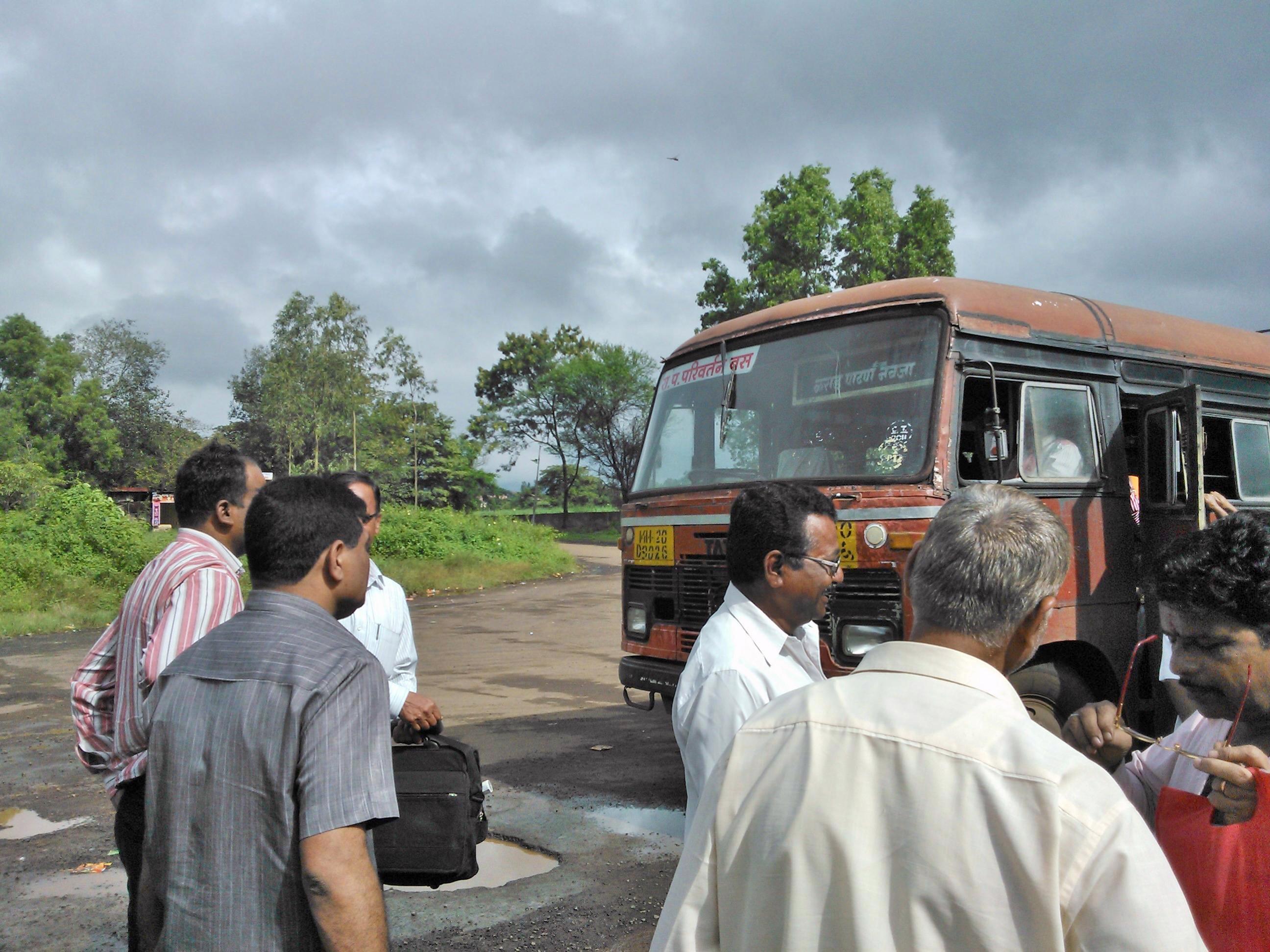
@Koyna

Koyna st stand

Miraj-Dapoli

Patan-Aadadev

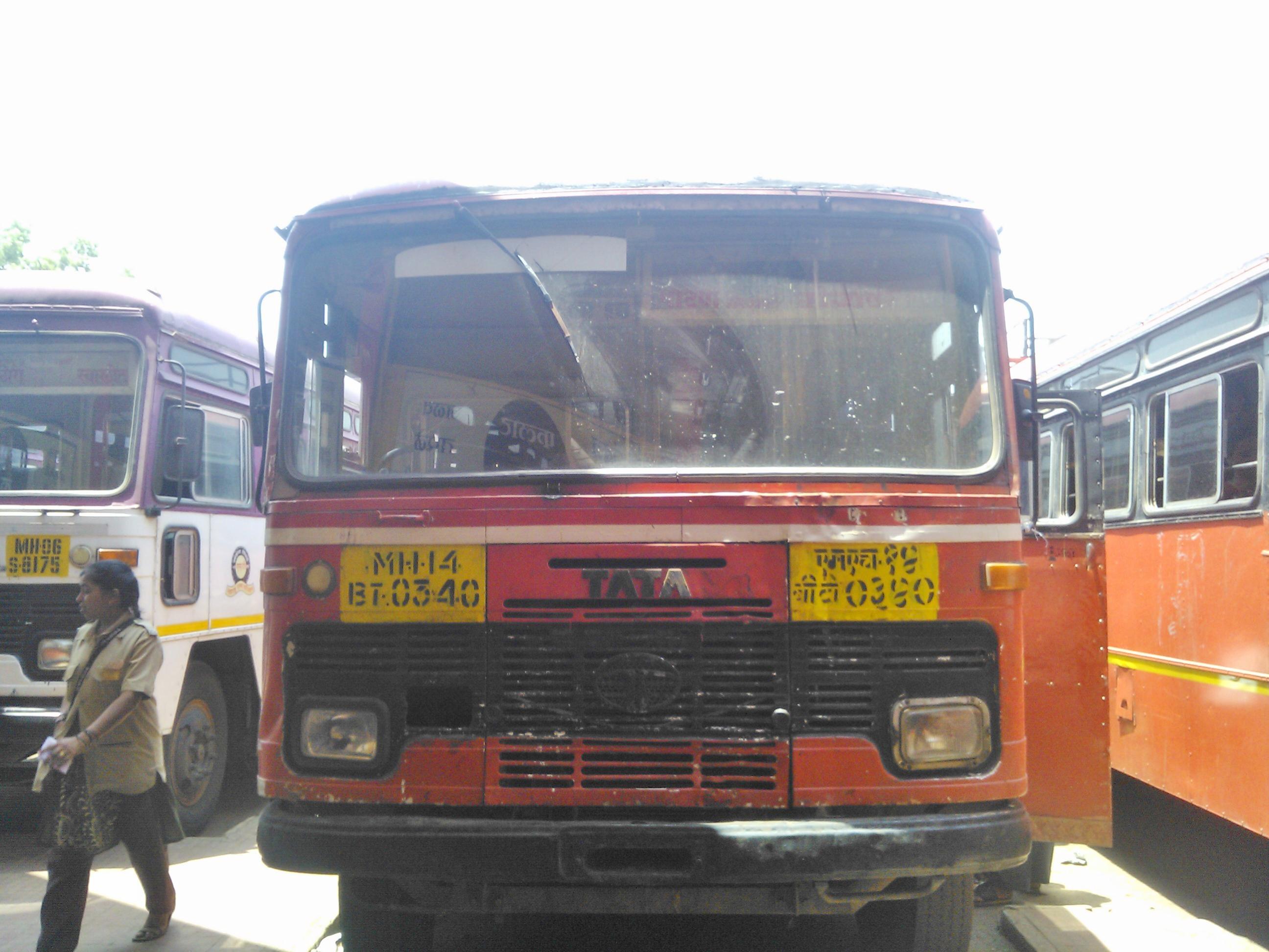
Karad-Patan-Borivali
Karad-Patan-Navaja

Ratnagiri-Pune stn
Topographic Map of Vittalwadi, Maharashtra, India
Find elevation by address:

Places near Vittalwadi, Maharashtra, India:
Tamkade
Nerale
Kaloli
Yerad
Tolewadi
Pethshivapur
Adadev
Morgiri
Patan
Killemorgiri
Pimpaloshi
Zakade
Somwar Peth
Mulgaon
Kumbharwada
Kavadewadi
Shiral
Jaichiwadi
Kasrund
Natoshi
Recent Searches:
- Elevation of Corso Fratelli Cairoli, 35, Macerata MC, Italy
- Elevation of Tallevast Rd, Sarasota, FL, USA
- Elevation of 4th St E, Sonoma, CA, USA
- Elevation of Black Hollow Rd, Pennsdale, PA, USA
- Elevation of Oakland Ave, Williamsport, PA, USA
- Elevation of Pedrógão Grande, Portugal
- Elevation of Klee Dr, Martinsburg, WV, USA
- Elevation of Via Roma, Pieranica CR, Italy
- Elevation of Tavkvetili Mountain, Georgia
- Elevation of Hartfords Bluff Cir, Mt Pleasant, SC, USA