Elevation of Vitoli 11, Greece
Location: Greece > Thessalia Sterea Ellada > Central Greece > Phthiotis > Makrakomi > Agios Georgios Timfristou >
Longitude: 22.0342634
Latitude: 38.9376069
Elevation: 234m / 768feet
Barometric Pressure: 99KPa
Elevation Map:
Satellite Map:
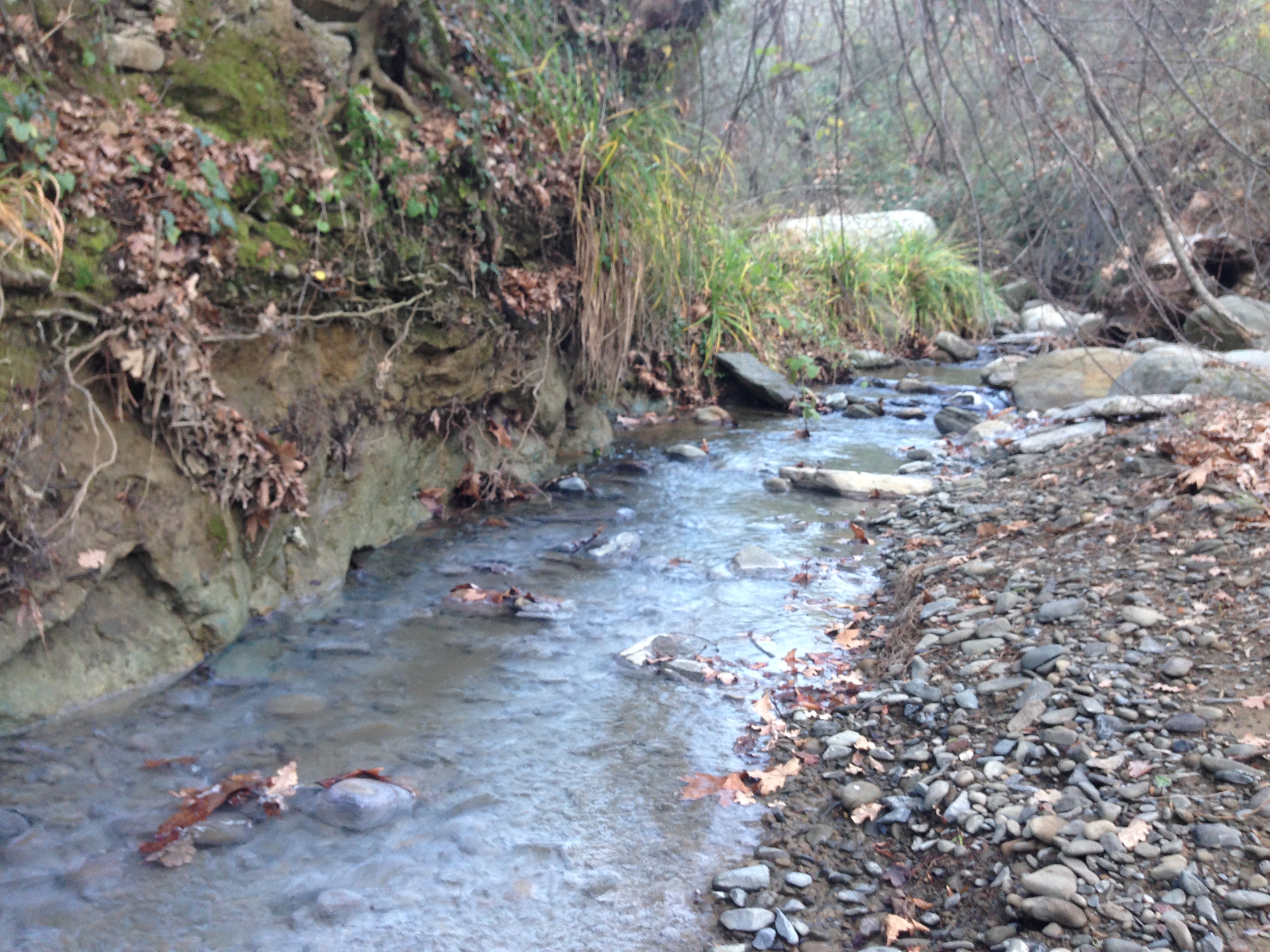
Related Photos:
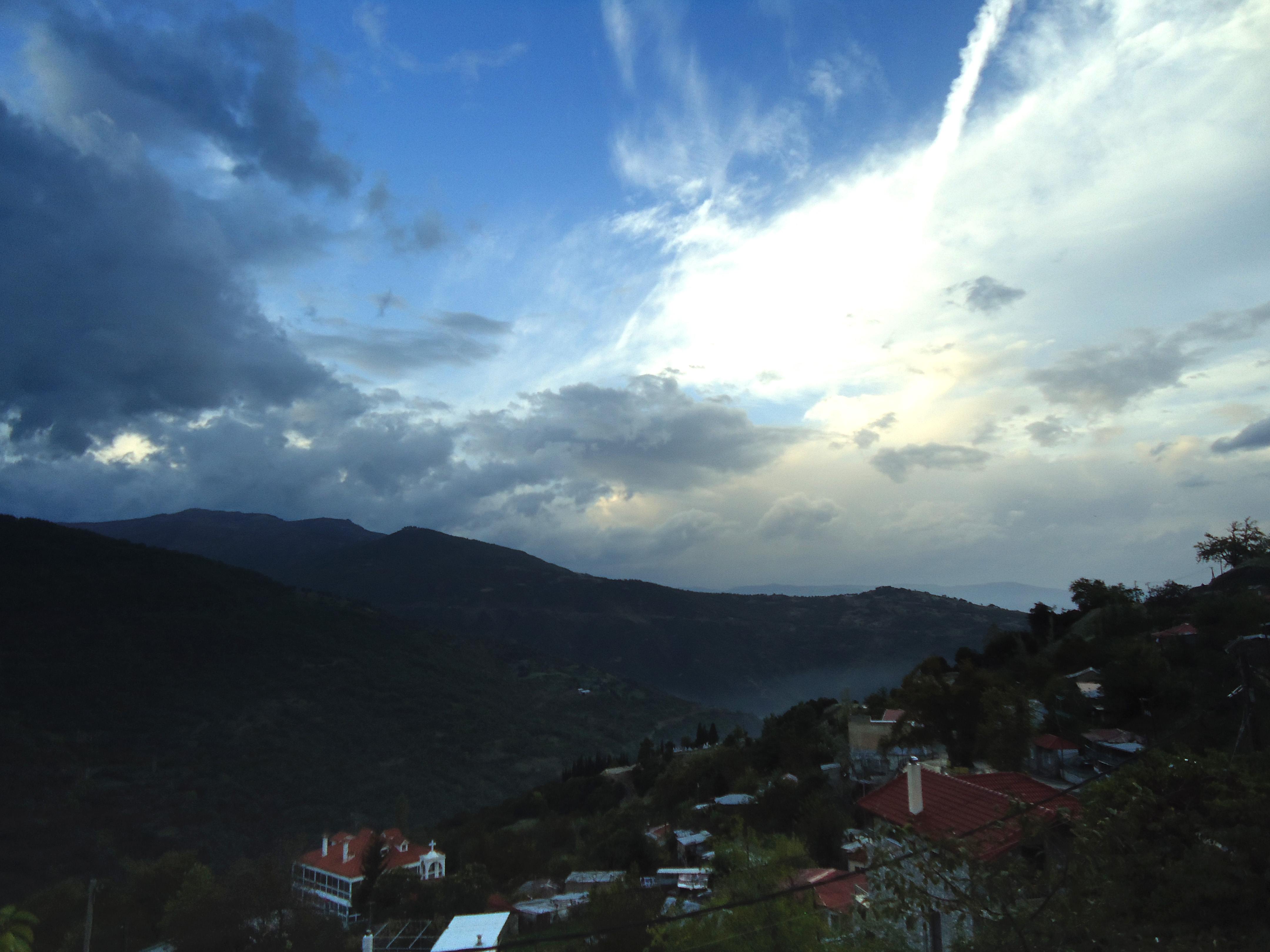
View of a Passing Day
Velouhi...
Βελούχι ( mountain timfristos)
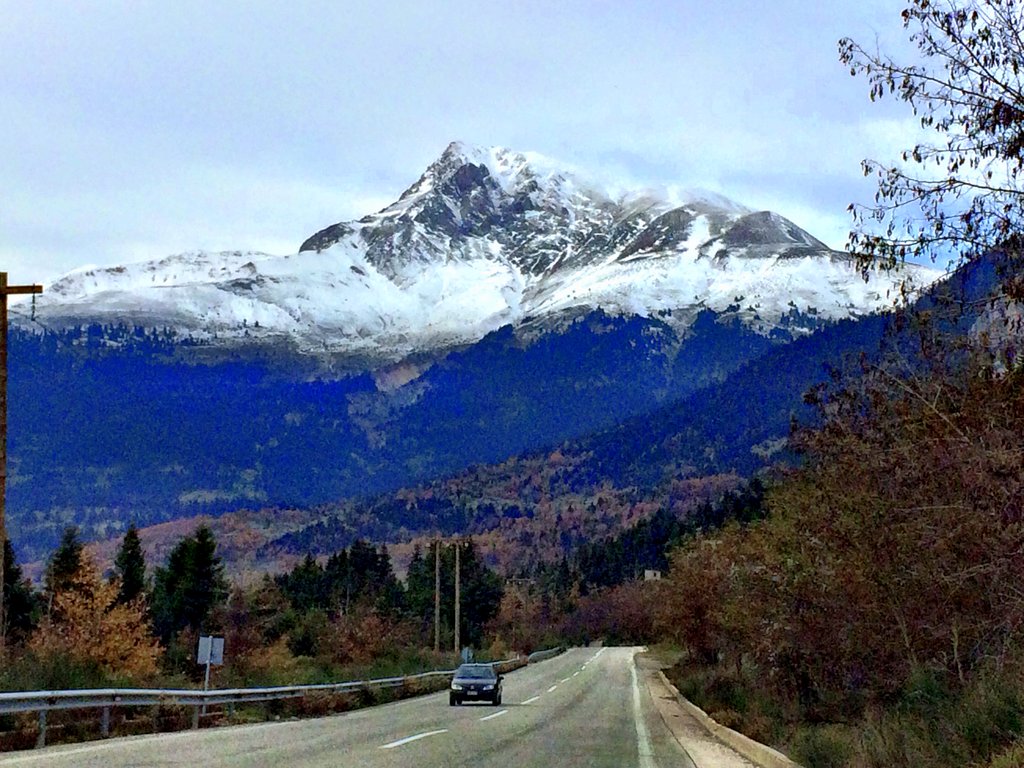
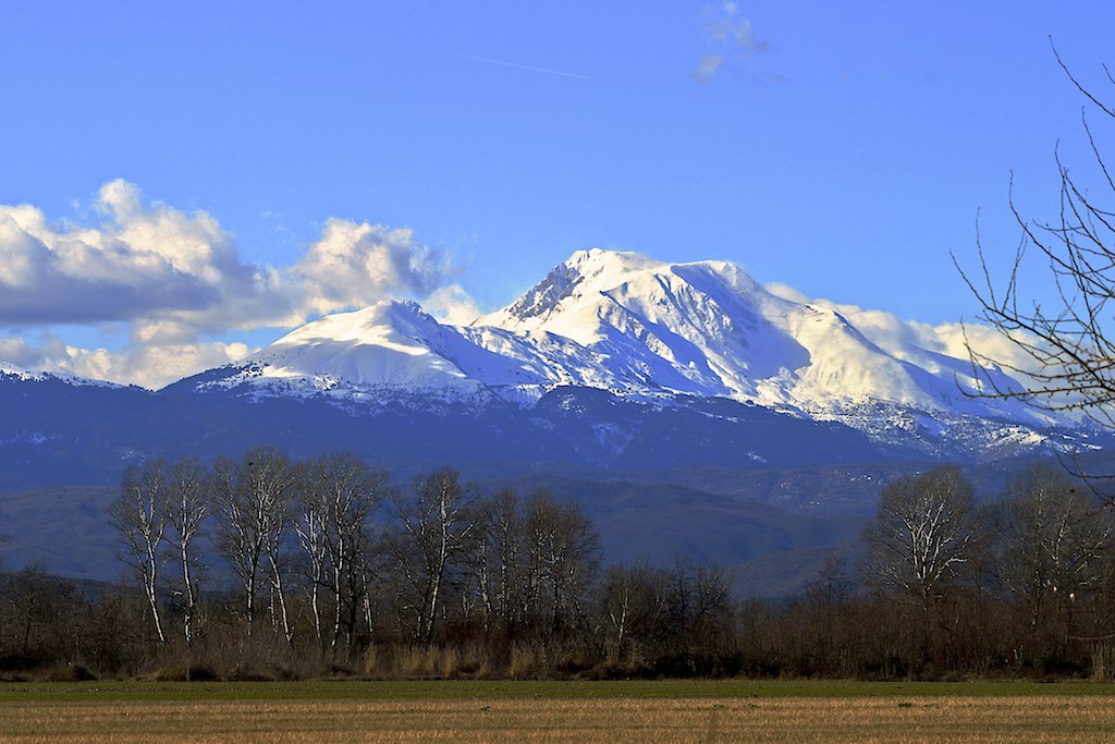
Mount Tymfristos

Λουτρά Πλατυστόμου
Valley of Spercheios
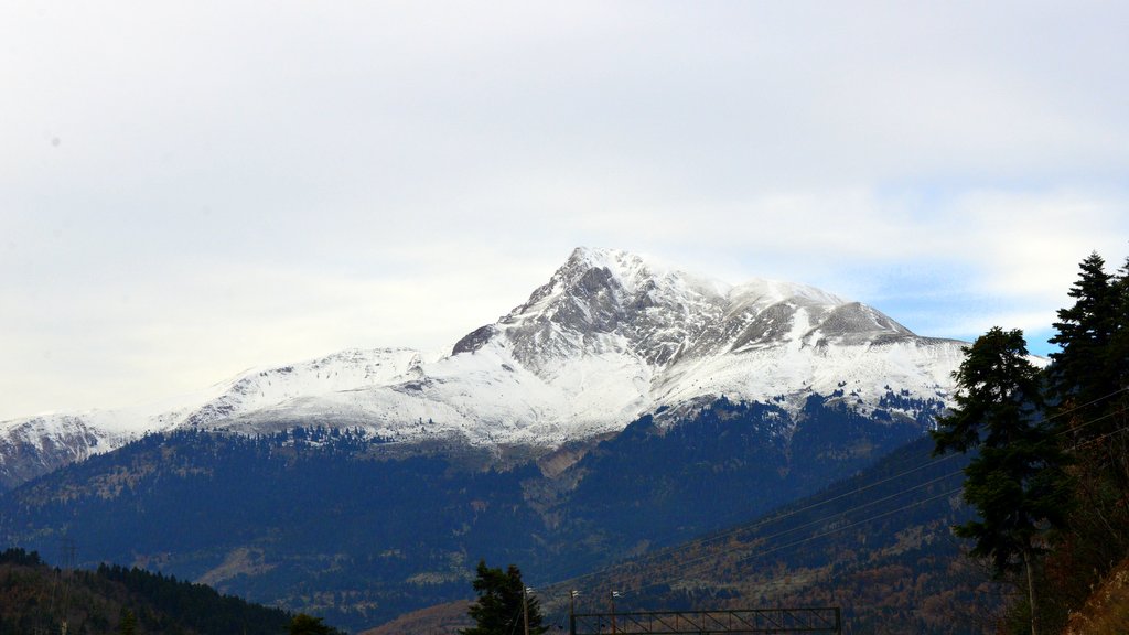
Mount Tymfristos

Silent Worker
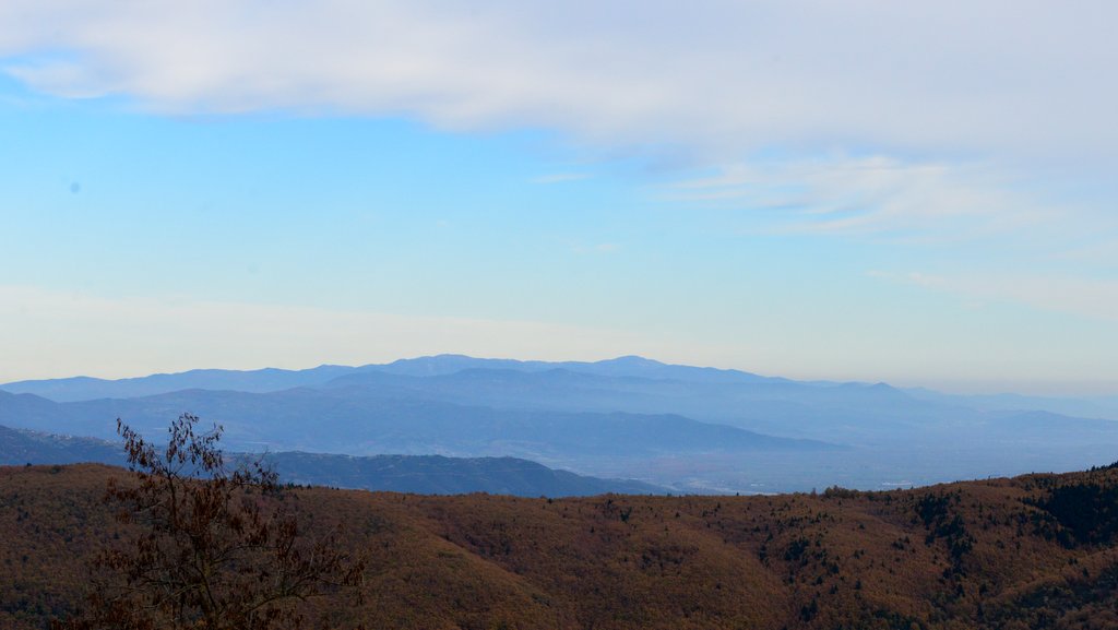
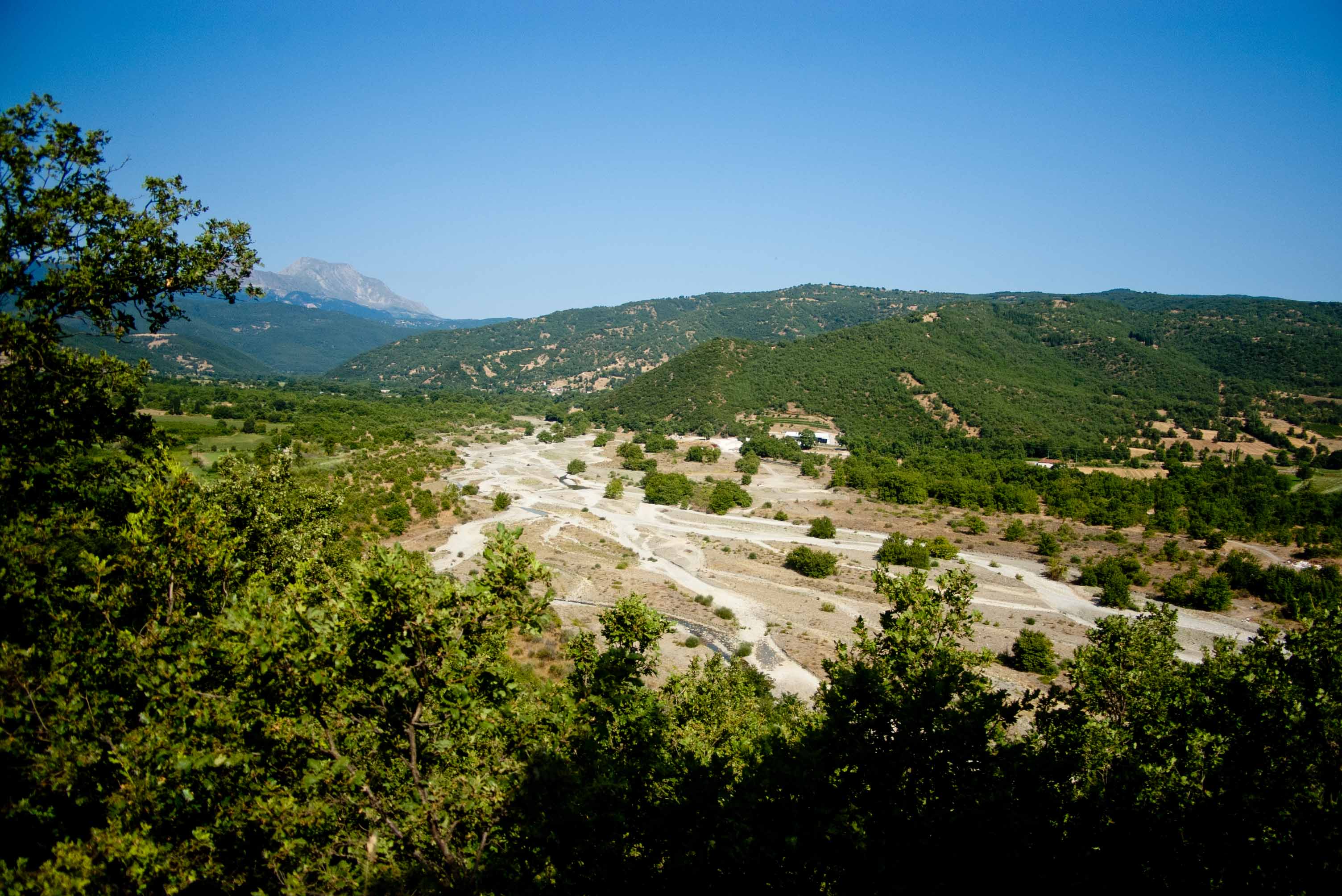
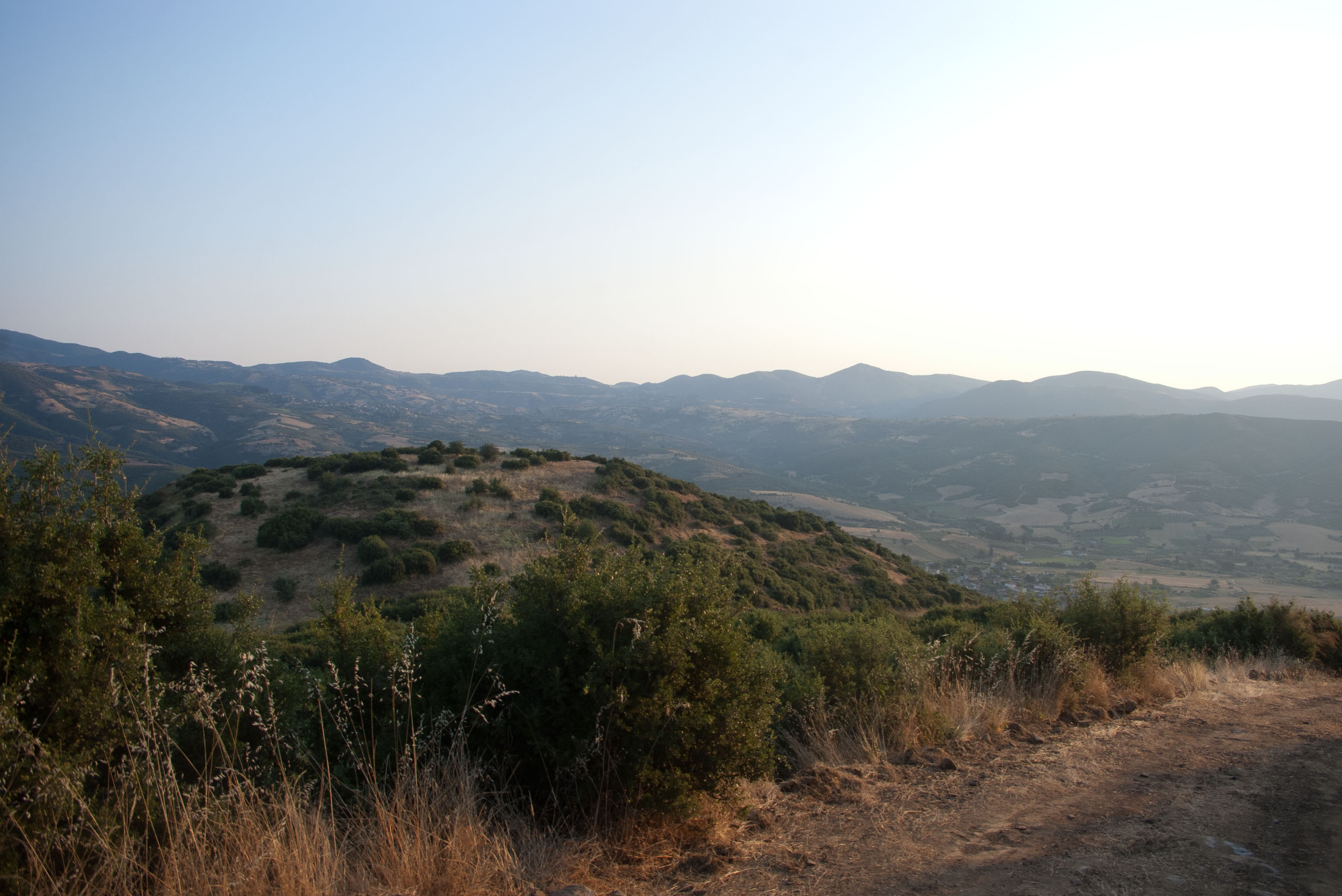
Distant Mountains
Λουτρά Πλατυστόμου, πηγές
South akrópolis of supposed Makra Kome

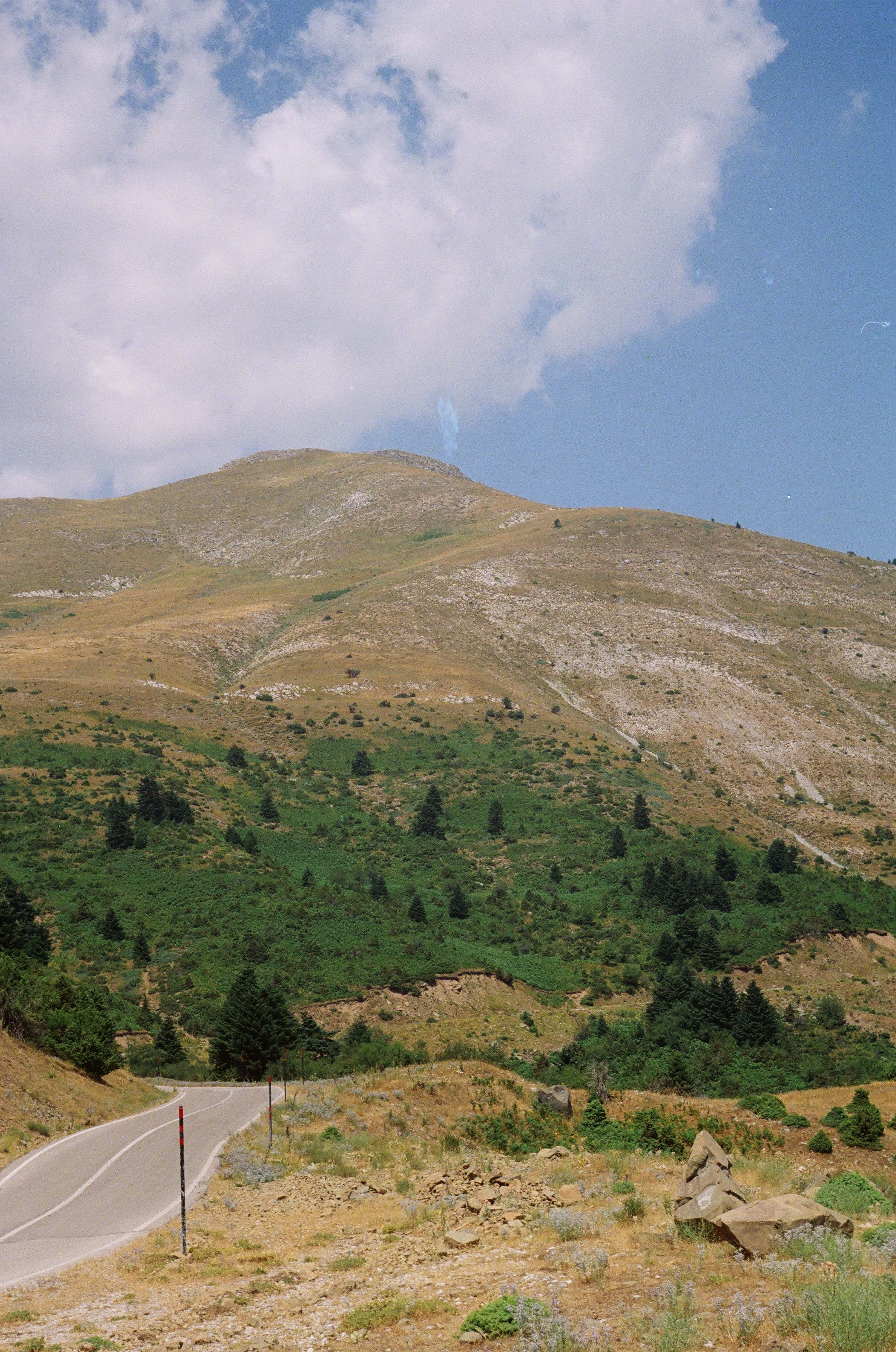
Velouhi surroundings #2

Velouhi surroundings #1

Λουτρά Πλατυστόμου
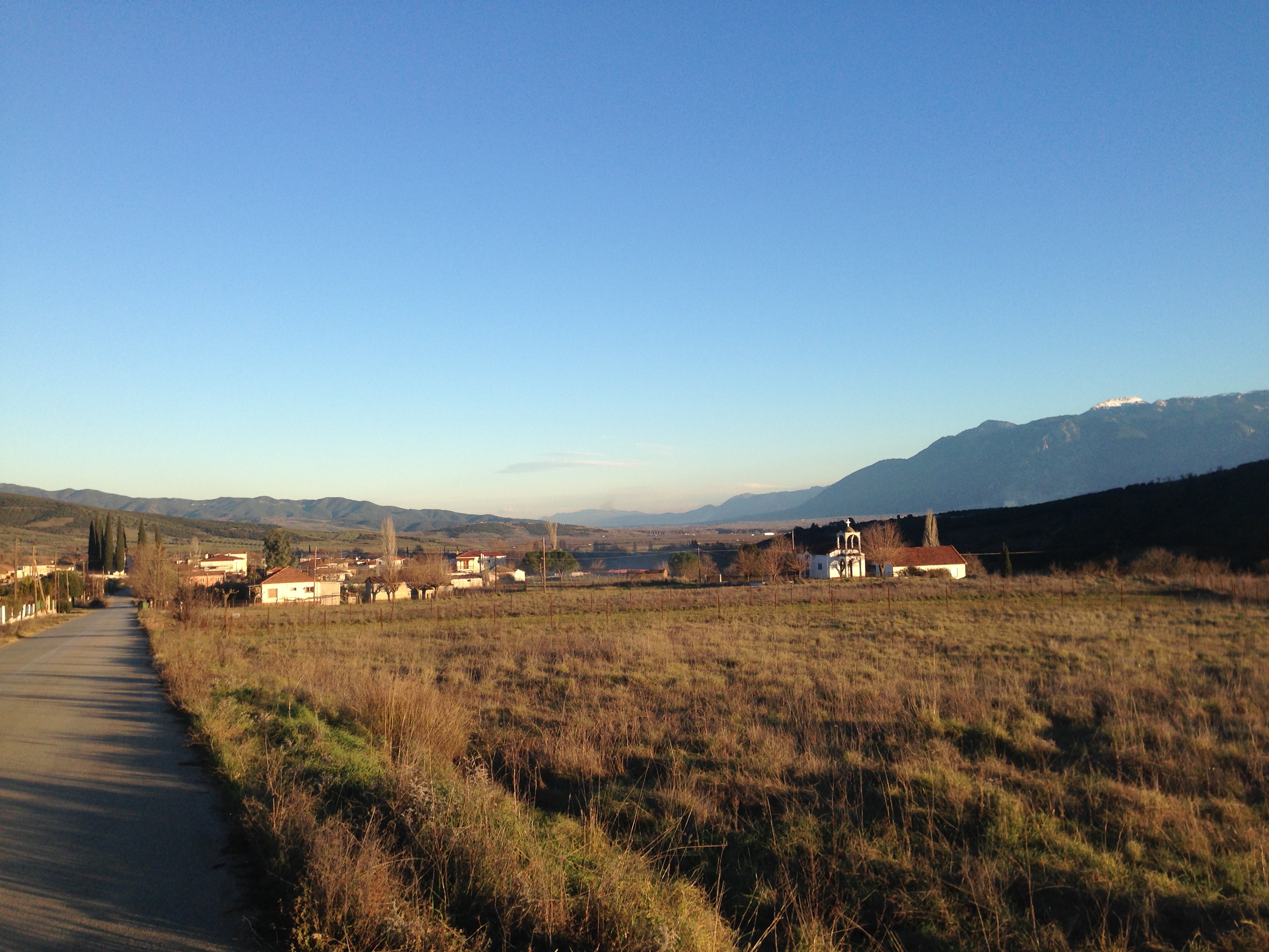
Πλατύστομο
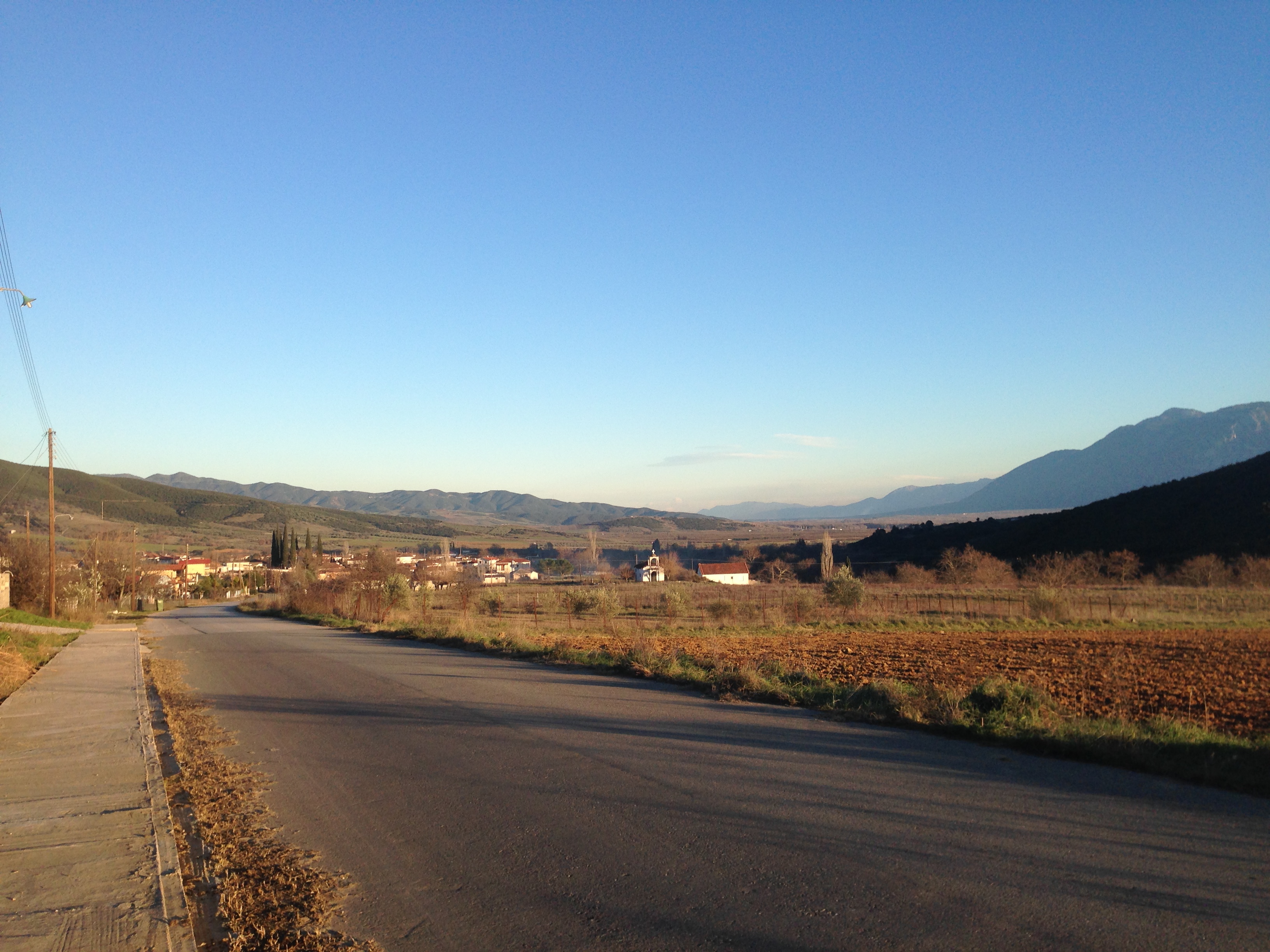
Πλατύστομο
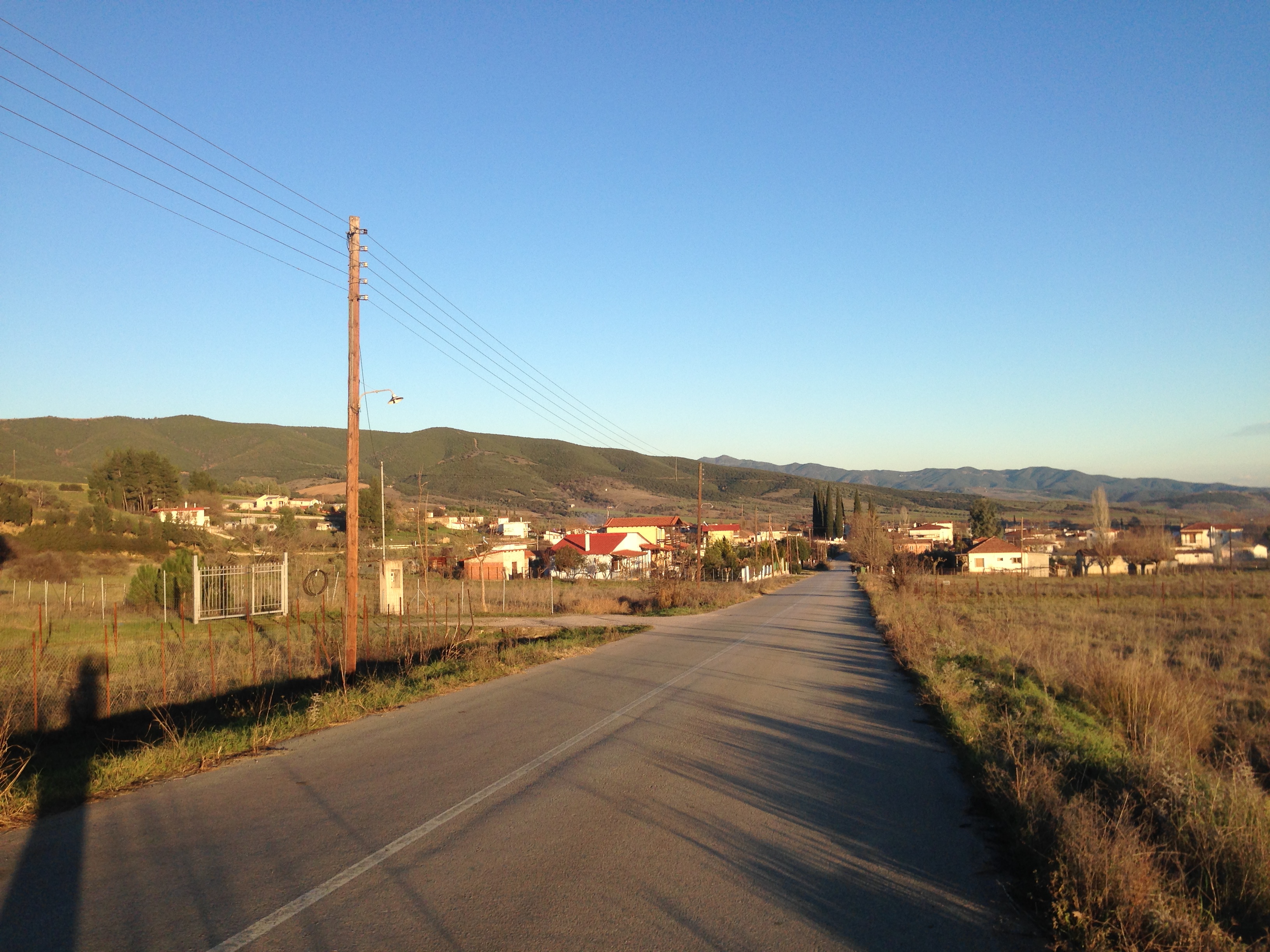
Πλατύστομο

Juda's tree
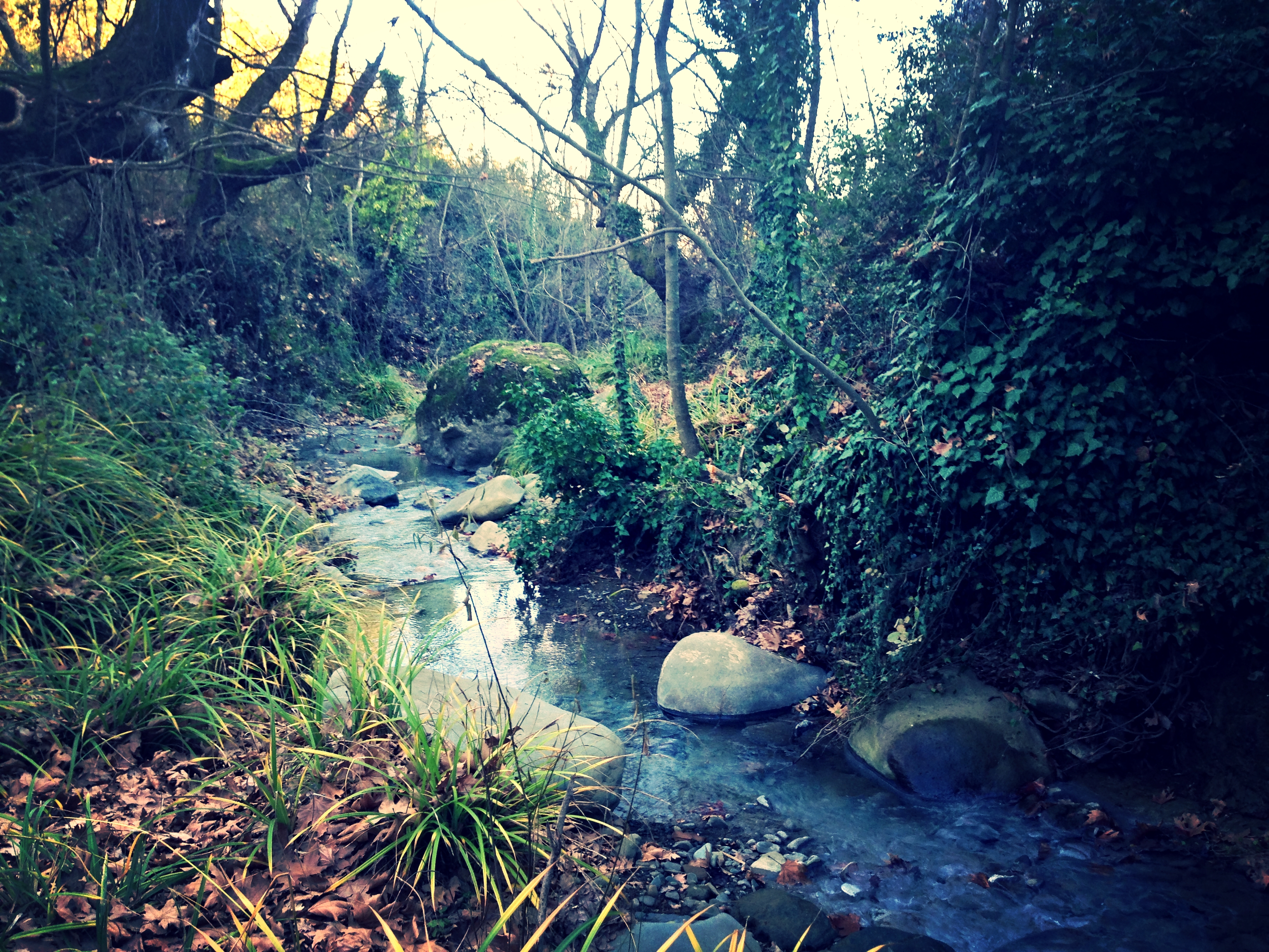
Λουτρά Πλατυστόμου, πηγές

Λουτρά Πλατυστόμου, πηγές
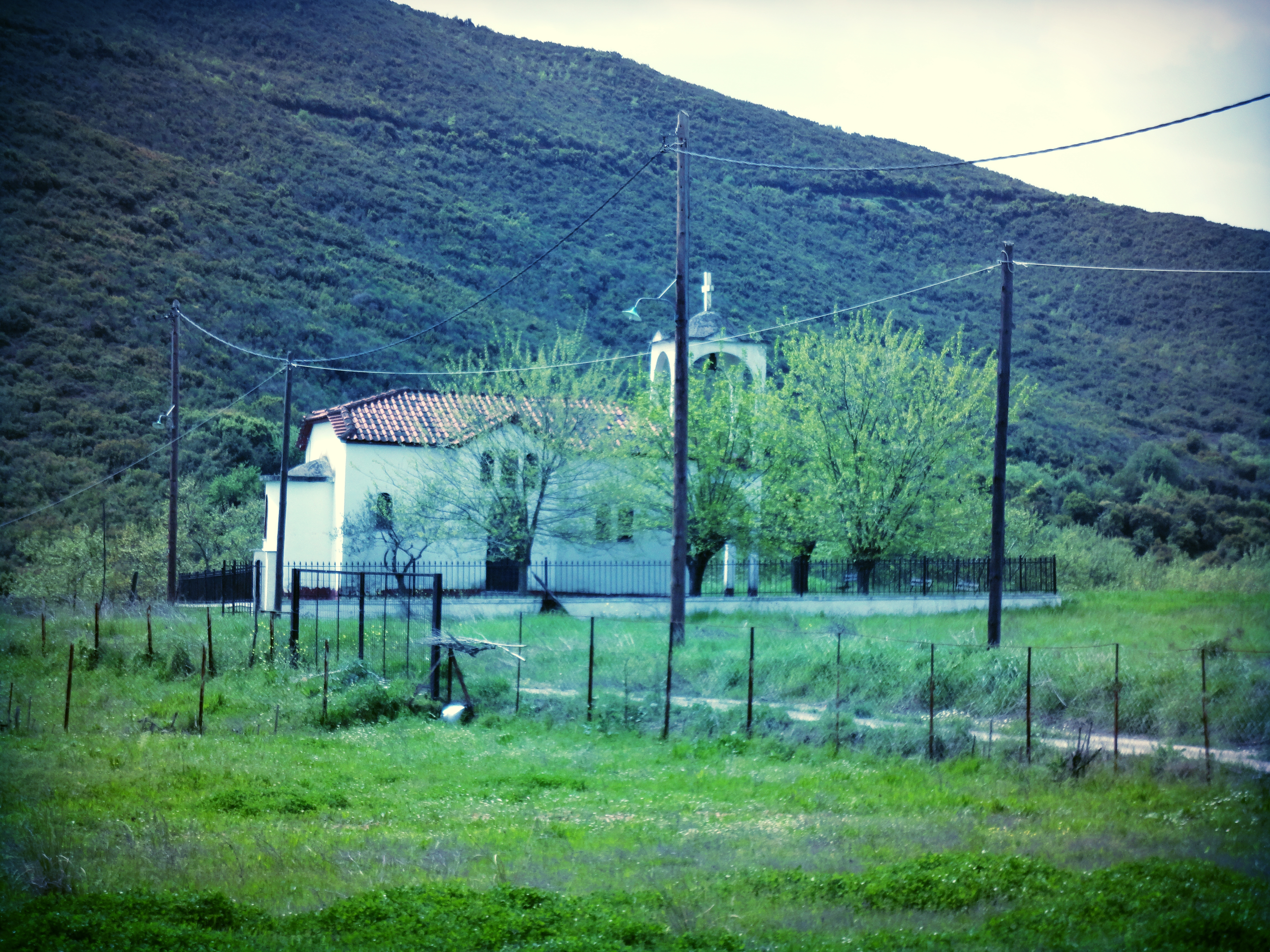
Ι.Ν. Αγίου Ιωάννου, Πλατύστομο
Topographic Map of Vitoli 11, Greece
Find elevation by address:

Places in Vitoli 11, Greece:
Places near Vitoli 11, Greece:
EO Lamias Karpenisiou 52, Vitoli 11, Greece
Makrakomi
Agios Georgios Fthiotidos
Agios Georgios Timfristou
Fourna
Ekklisia Panagia Mprousiotissa
Menelaida
Ktimenia
Karpenissi
Agia Paraskevi
Fournas
Greece
Vardousia
Epar.Od. Karditsas - Rentina 27, Kedros 00, Greece
Kedros
Kallii
Kallifoni
Karpenisi
Epar.Od. Dafnospilias - Molochas 28, Dafnospilia 00, Greece
Dafnospilia
Recent Searches:
- Elevation of Corso Fratelli Cairoli, 35, Macerata MC, Italy
- Elevation of Tallevast Rd, Sarasota, FL, USA
- Elevation of 4th St E, Sonoma, CA, USA
- Elevation of Black Hollow Rd, Pennsdale, PA, USA
- Elevation of Oakland Ave, Williamsport, PA, USA
- Elevation of Pedrógão Grande, Portugal
- Elevation of Klee Dr, Martinsburg, WV, USA
- Elevation of Via Roma, Pieranica CR, Italy
- Elevation of Tavkvetili Mountain, Georgia
- Elevation of Hartfords Bluff Cir, Mt Pleasant, SC, USA