Elevation of Villecomte, France
Location: France > Bourgogne-franche-comté > Côte-d'or >
Longitude: 5.034848
Latitude: 47.511019
Elevation: 295m / 968feet
Barometric Pressure: 98KPa
Elevation Map:
Satellite Map:
Related Photos:
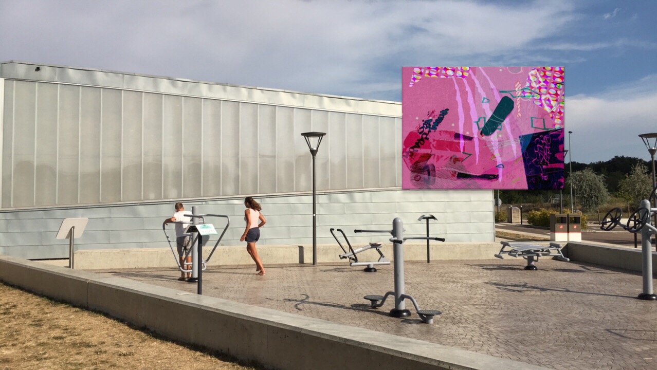
View of "Dysfunkt Chaosmix" - Wednesday, 17 August 2016 - 17:29 GMT+0200

Après l'orage - After the storm
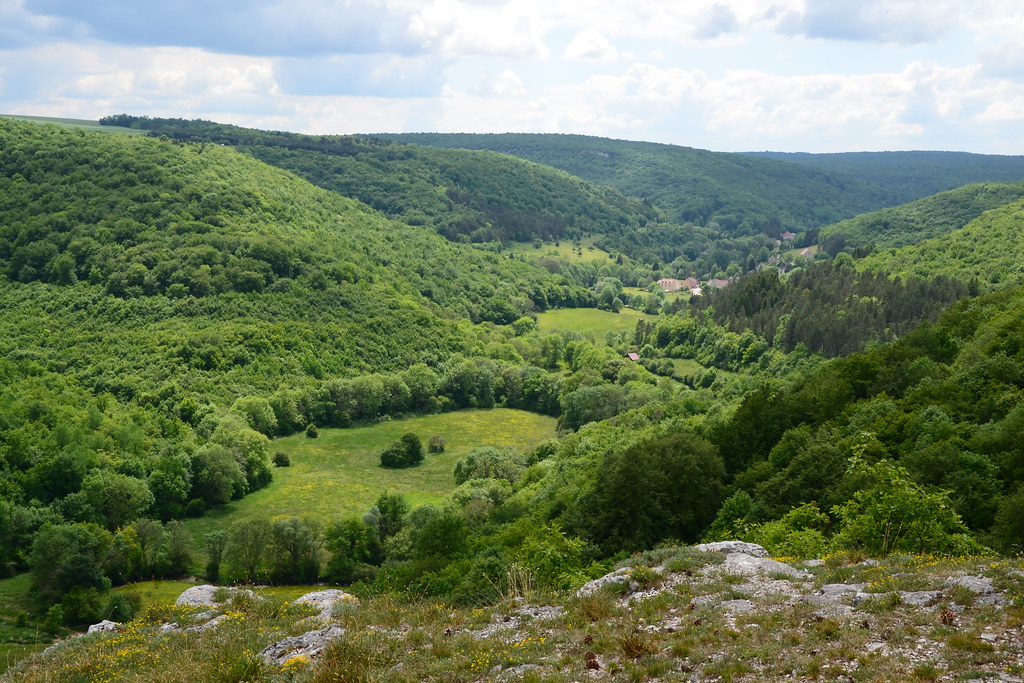
Val-Suzon
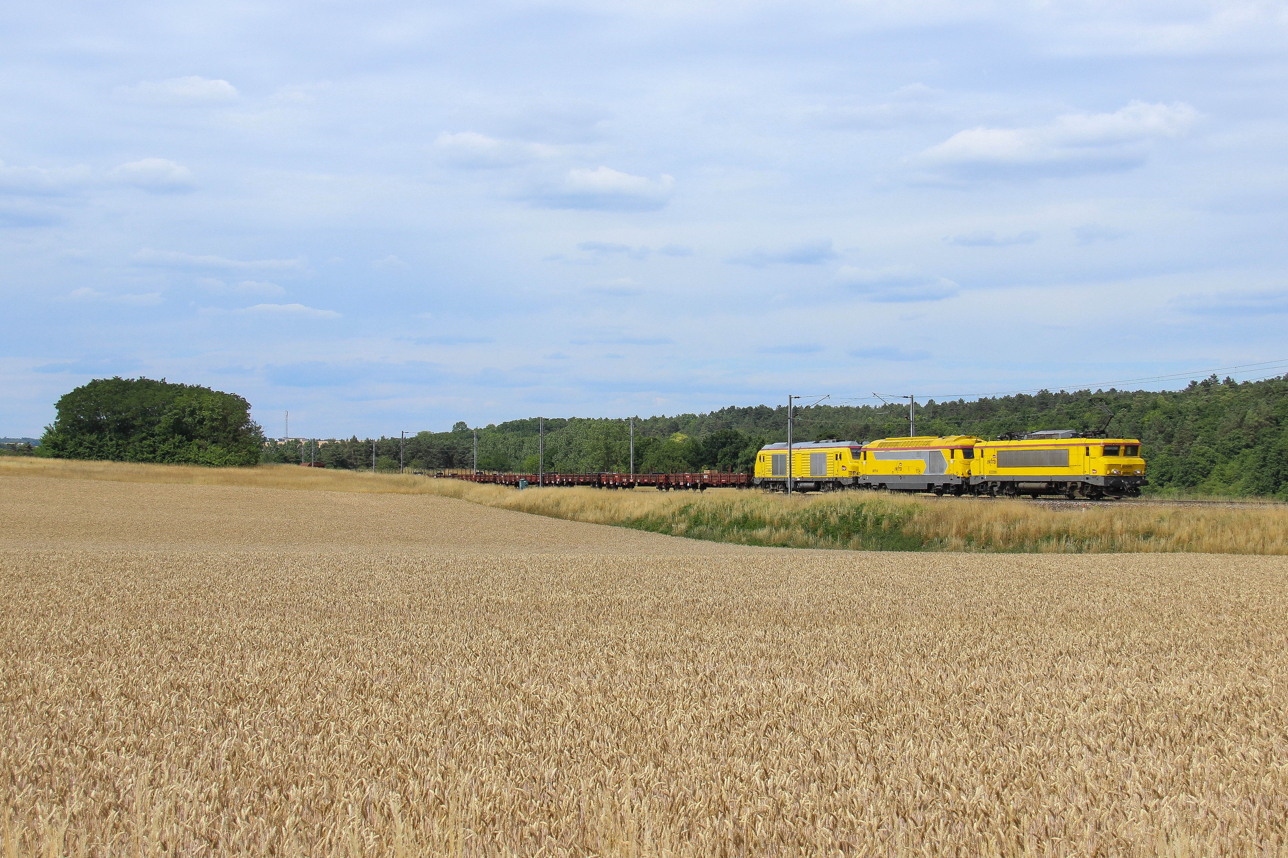
22295 & infra 53867 vers Flacey
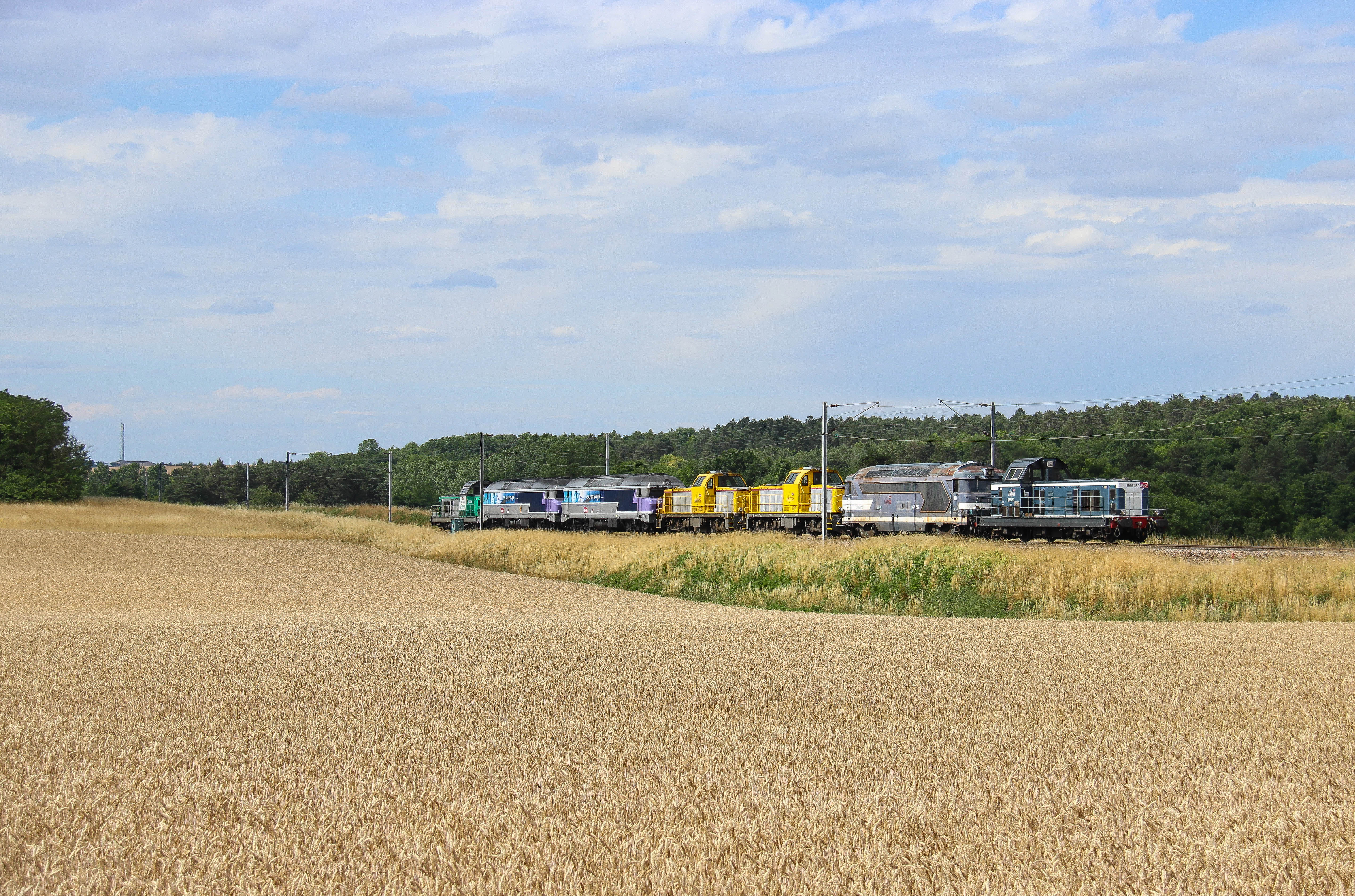
TM Haut en couleur vers Flacey
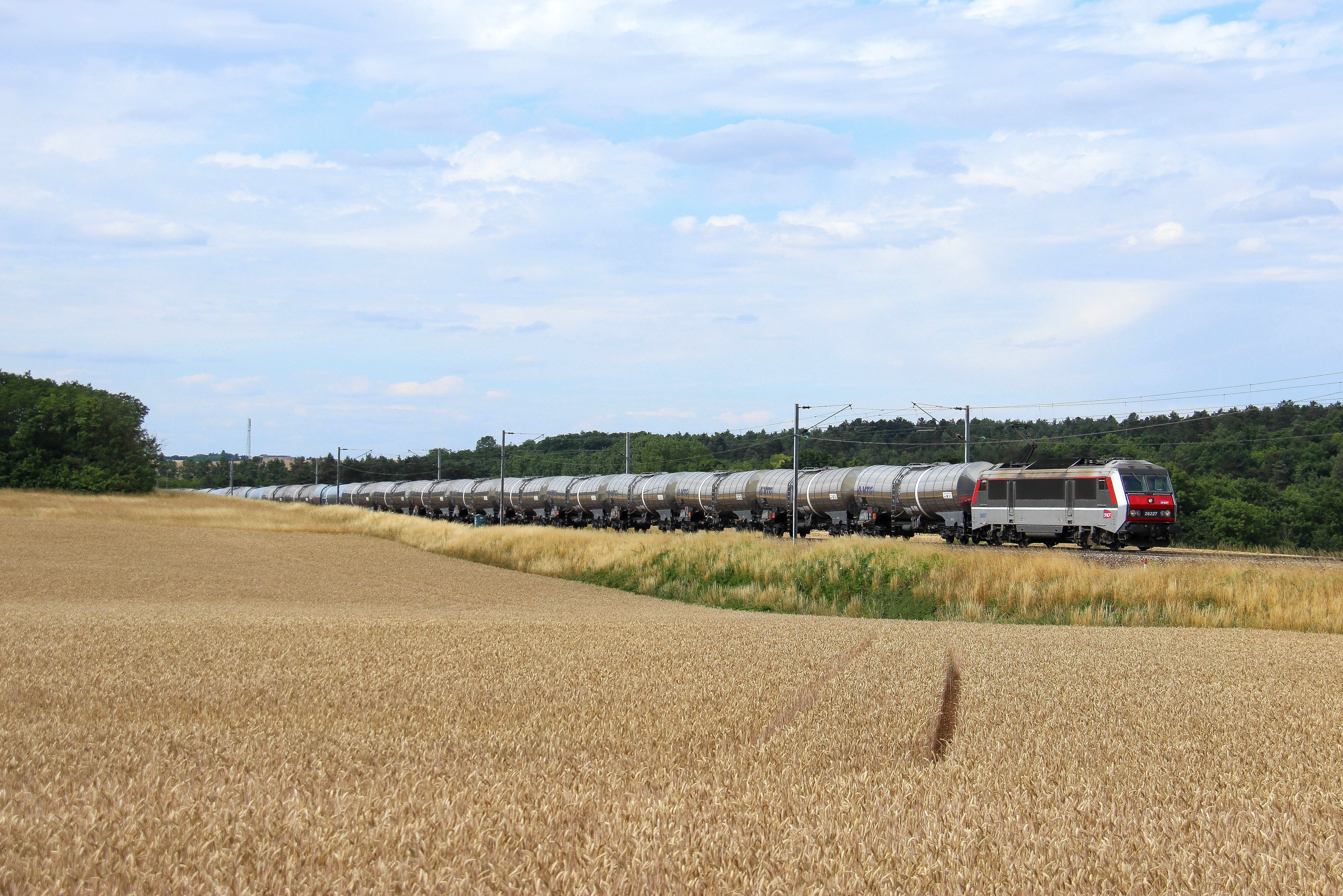
26227 & citernes vers Flacey
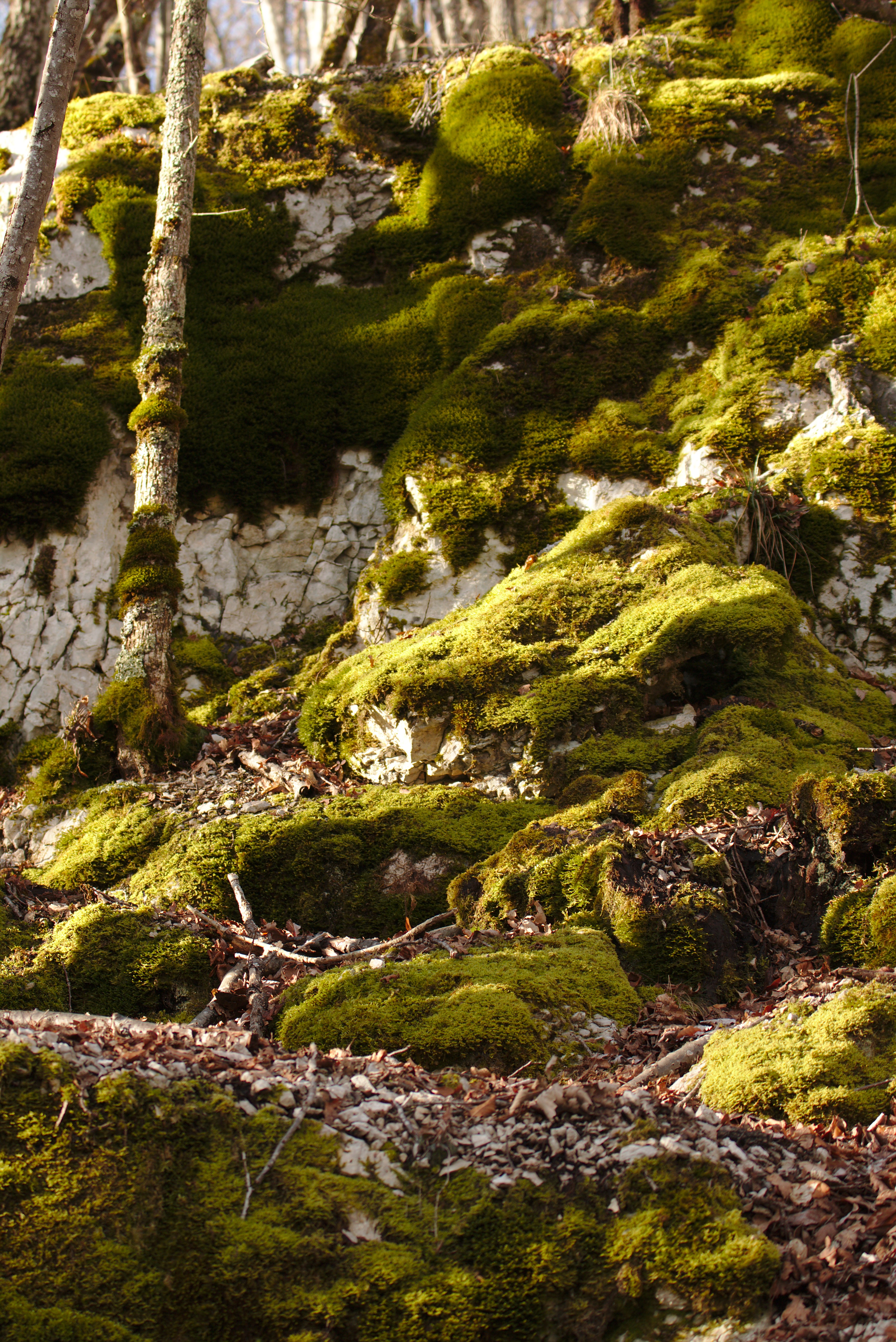
Vert et blanc
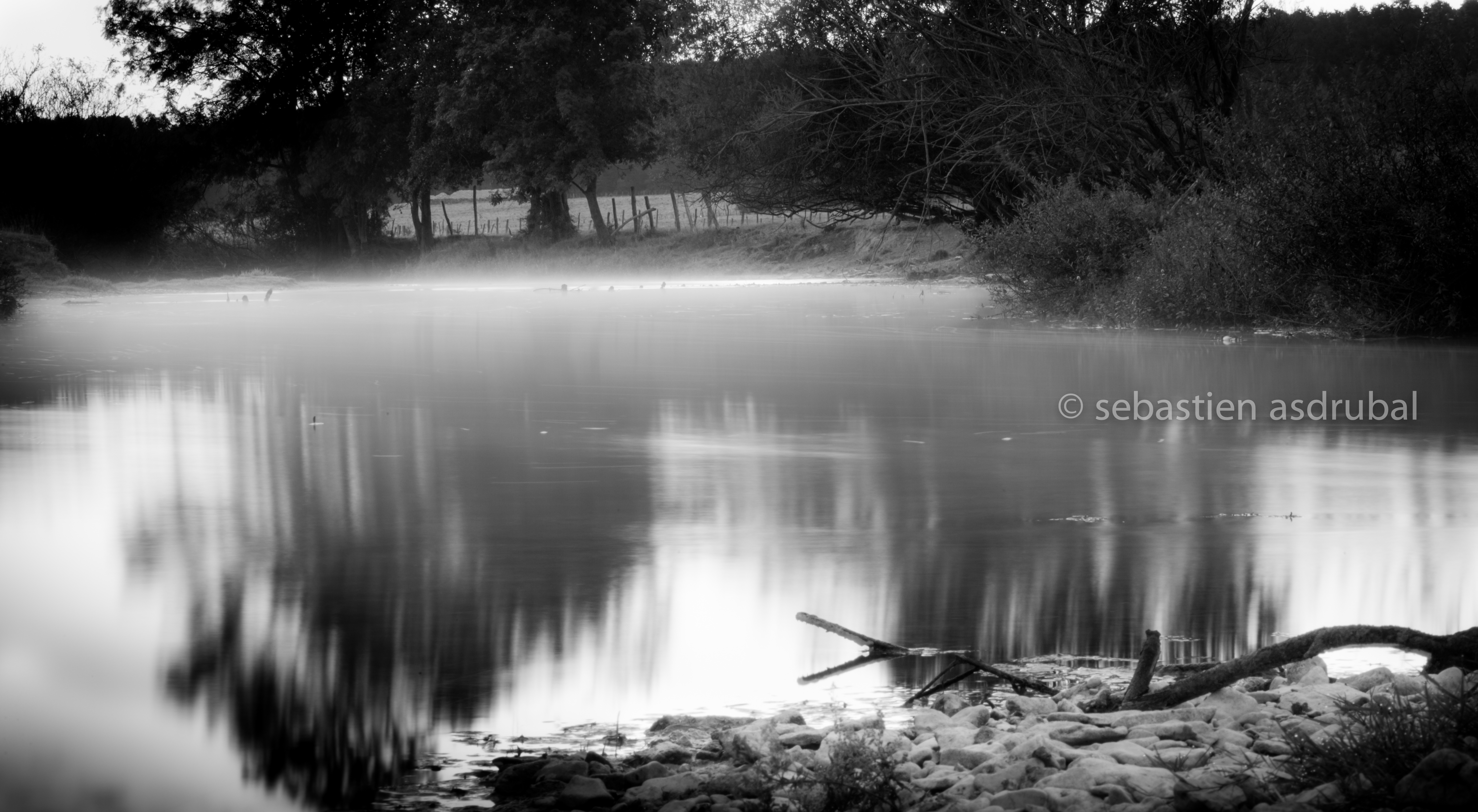
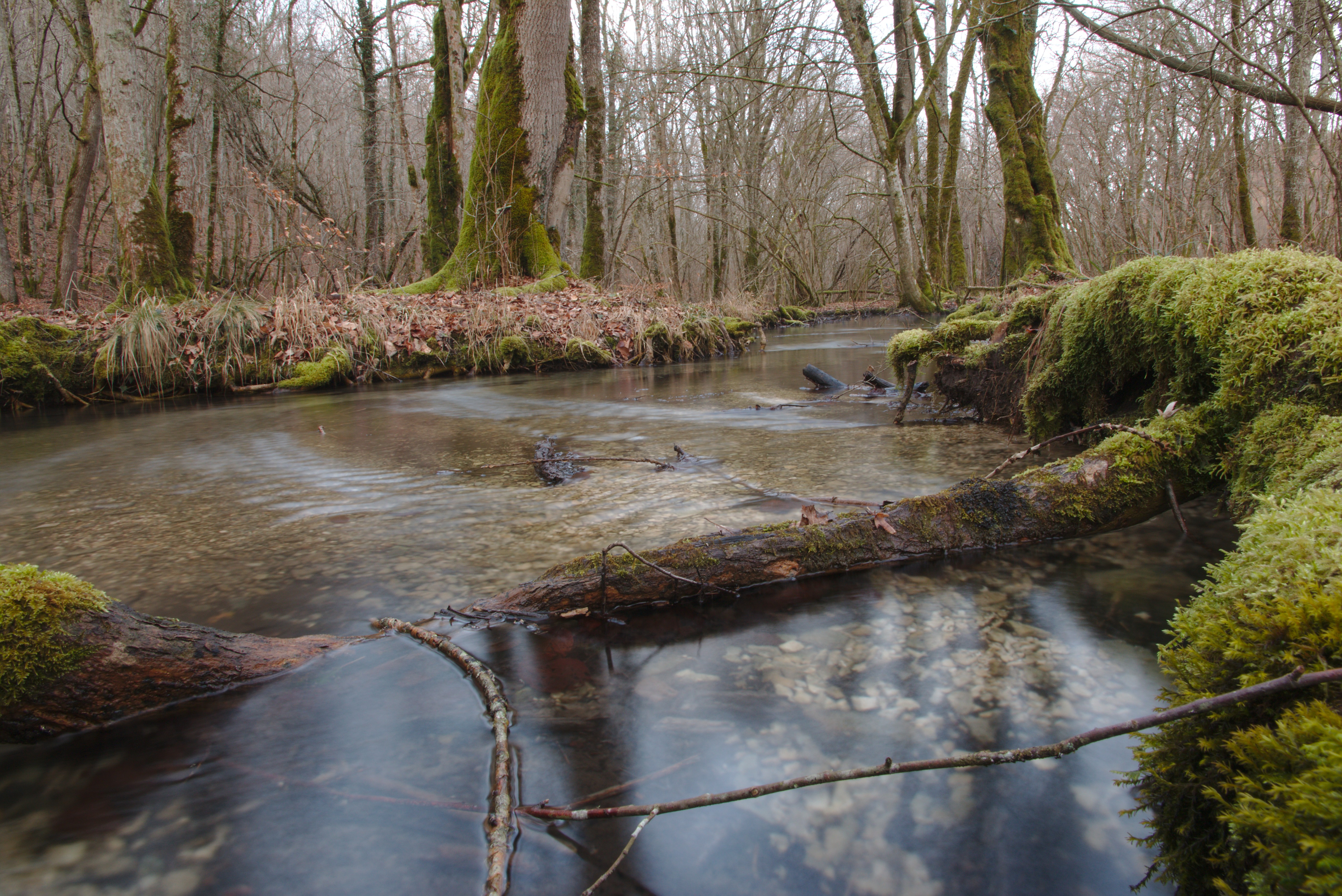
AS_rivière2012-09-20-1
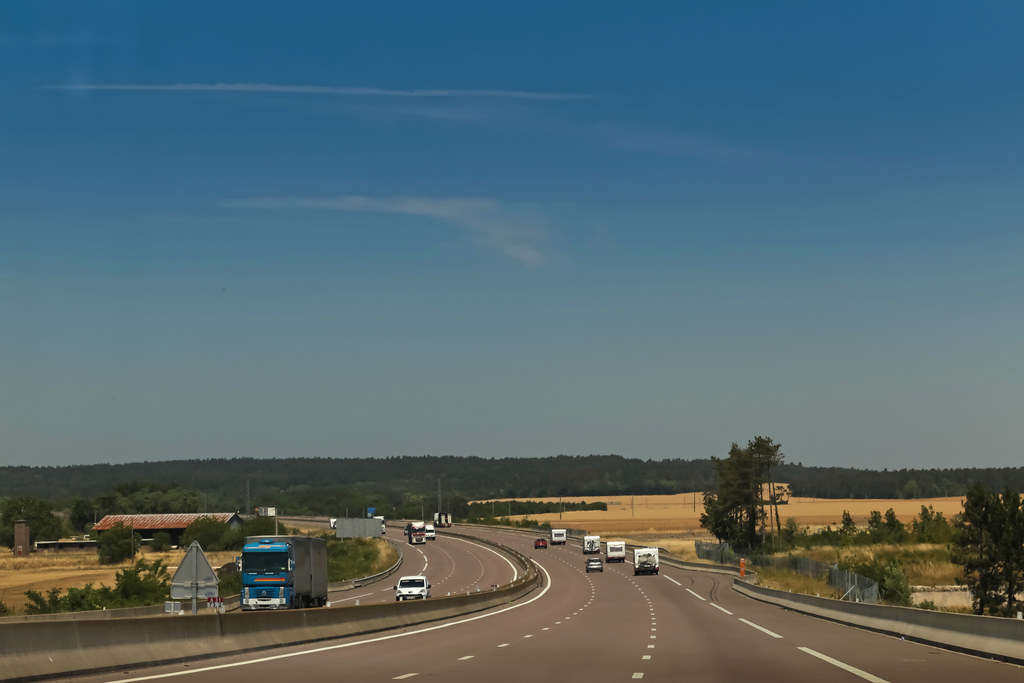
Autoroute A31 - Selongey (France)
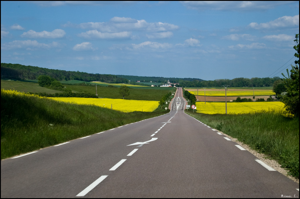
Road in the country (D910)
Bonjour! En route pour Le Sud! Yeiiii! ••••••• Heading south for a wedding #france#ontheroad #igersfrance

Haut-débit
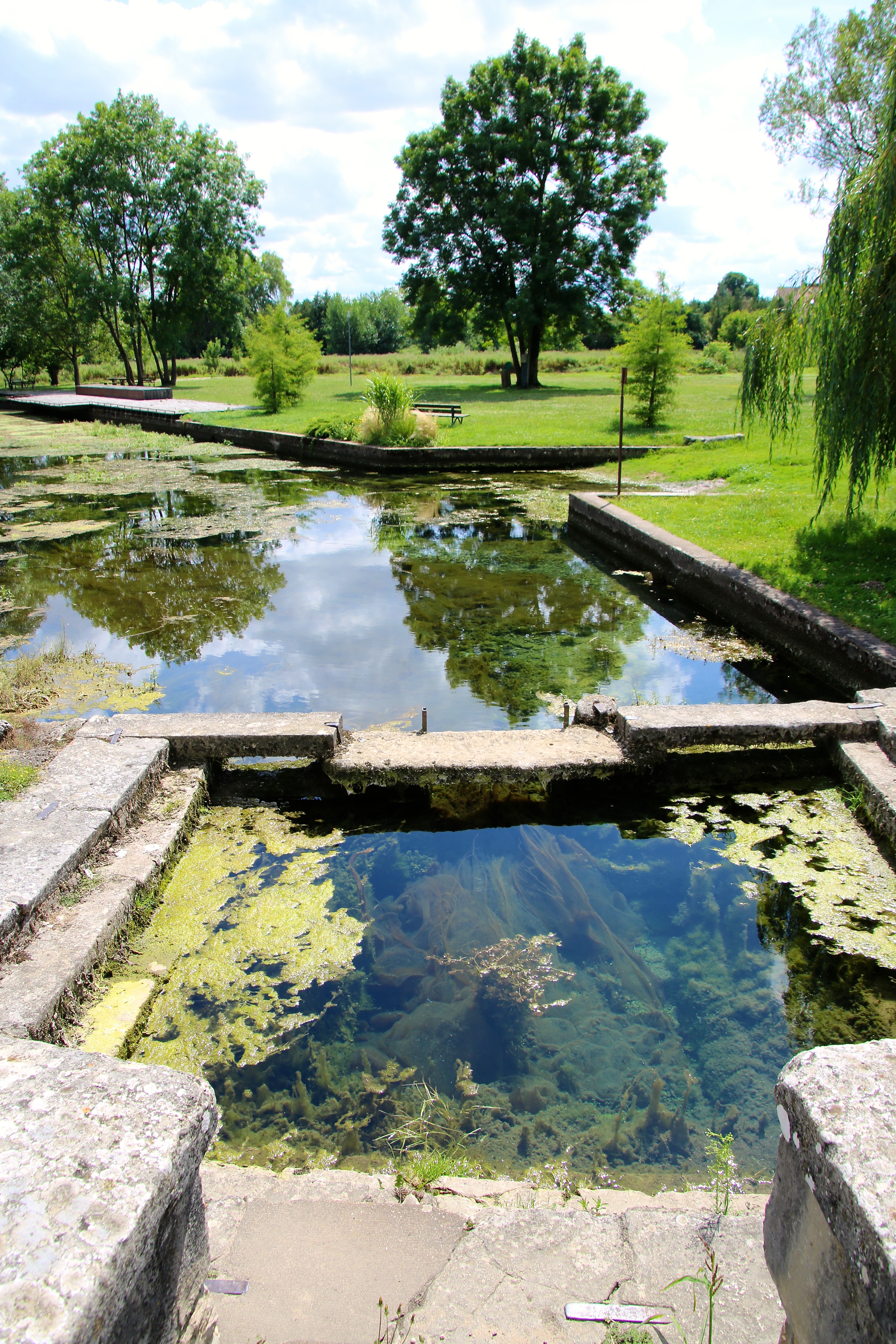
Norges -la-Ville / Source de la Norge
Au milieu...
Til-Châtel - Saint-Florent
Topographic Map of Villecomte, France
Find elevation by address:

Places in Villecomte, France:
Places near Villecomte, France:
1 Rue Sophie Grangier, Villecomte, France
3 D, Marey-sur-Tille, France
Marey-sur-tille
Flacey
10 Rue de Saint-Julien, Flacey, France
2 Rue Basse, Courlon, France
Courlon
Foncegrive
9021b
4 Rue du Pont de la Venelle, Foncegrive, France
Salives
Fontaine-lès-dijon
8 Rue du Faubourg Saint-Martin, Fontaine-lès-Dijon, France
Prenois
Dijon, France
Place Gaston Gérard
Montmuzard
Dijon
L'emile Brochettes
Lamargelle
Recent Searches:
- Elevation of Corso Fratelli Cairoli, 35, Macerata MC, Italy
- Elevation of Tallevast Rd, Sarasota, FL, USA
- Elevation of 4th St E, Sonoma, CA, USA
- Elevation of Black Hollow Rd, Pennsdale, PA, USA
- Elevation of Oakland Ave, Williamsport, PA, USA
- Elevation of Pedrógão Grande, Portugal
- Elevation of Klee Dr, Martinsburg, WV, USA
- Elevation of Via Roma, Pieranica CR, Italy
- Elevation of Tavkvetili Mountain, Georgia
- Elevation of Hartfords Bluff Cir, Mt Pleasant, SC, USA