Elevation of Villa Victoria, Mich., Mexico
Location: Mexico > Michoacán > Chinicuila >
Longitude: -103.36743
Latitude: 18.7556279
Elevation: 710m / 2329feet
Barometric Pressure: 93KPa
Elevation Map:
Satellite Map:
Related Photos:
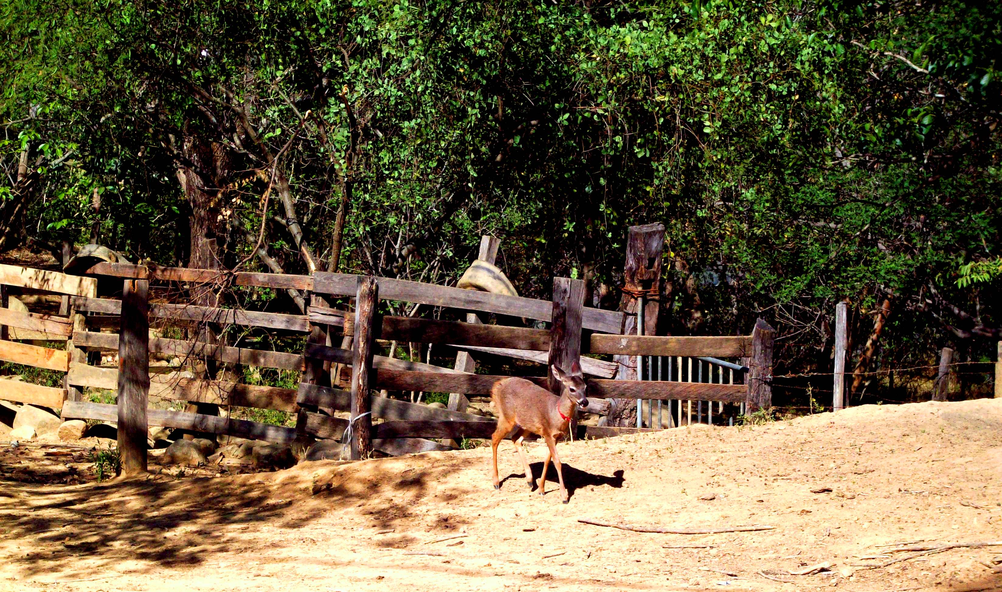
Camelia
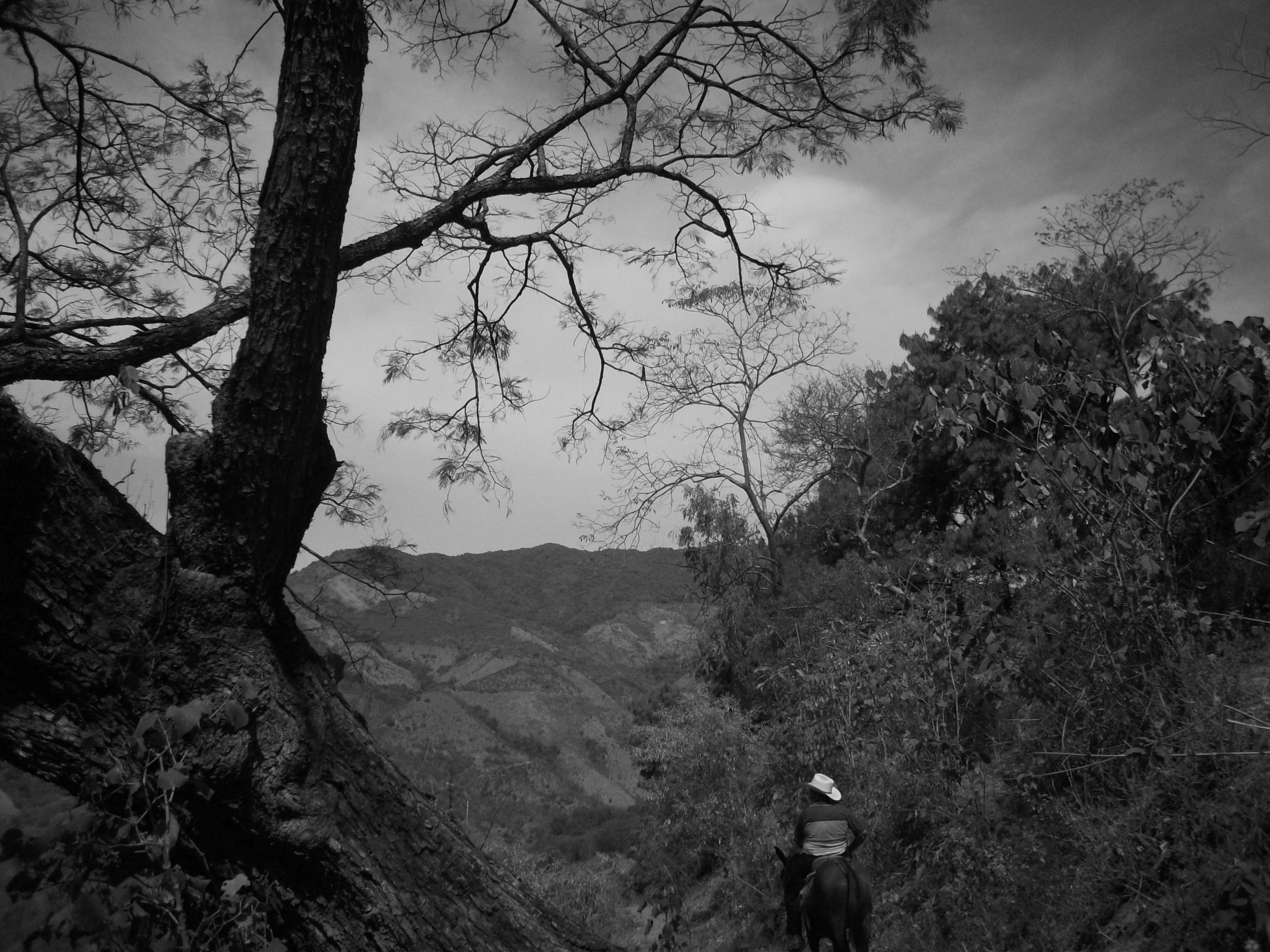
Father

Tivo
Topographic Map of Villa Victoria, Mich., Mexico
Find elevation by address:

Places in Villa Victoria, Mich., Mexico:
Places near Villa Victoria, Mich., Mexico:
Chinicuila
19 De Noviembre
Francisco I. Madero 12, 19 de Noviembre, Villa Victoria, Mich., Mexico
Centro
Morelos 8, Centro, Ejido del Centro, Mich., Mexico
Coalcomán De Vázquez Pallares
Aquila
Aquila
Coalcomán
Maruata
Ostula
COL 19 16, Colima, Mexico
Tercero
Corregidora, Centro, Coahuayana de Hidalgo, Mich., Mexico
Coahuayana De Hidalgo
Tecomán - Cd Lázaro Cárdenas 3, Pomaro, Mich., Mexico
Placita De Morelos
Barranca Seca
24a
Aguililla
Recent Searches:
- Elevation of Corso Fratelli Cairoli, 35, Macerata MC, Italy
- Elevation of Tallevast Rd, Sarasota, FL, USA
- Elevation of 4th St E, Sonoma, CA, USA
- Elevation of Black Hollow Rd, Pennsdale, PA, USA
- Elevation of Oakland Ave, Williamsport, PA, USA
- Elevation of Pedrógão Grande, Portugal
- Elevation of Klee Dr, Martinsburg, WV, USA
- Elevation of Via Roma, Pieranica CR, Italy
- Elevation of Tavkvetili Mountain, Georgia
- Elevation of Hartfords Bluff Cir, Mt Pleasant, SC, USA