Elevation of VILLA NUEVA TEZONAPA 18, Veracruz, Mexico
Location: Mexico > Veracruz >
Longitude: -96.815914
Latitude: 18.6309532
Elevation: 881m / 2890feet
Barometric Pressure: 91KPa
Elevation Map:
Satellite Map:
Related Photos:
Cosolapa, Oax. México

Omealca, Veracruz, 1901.
Omealca, Veracruz, hoy.

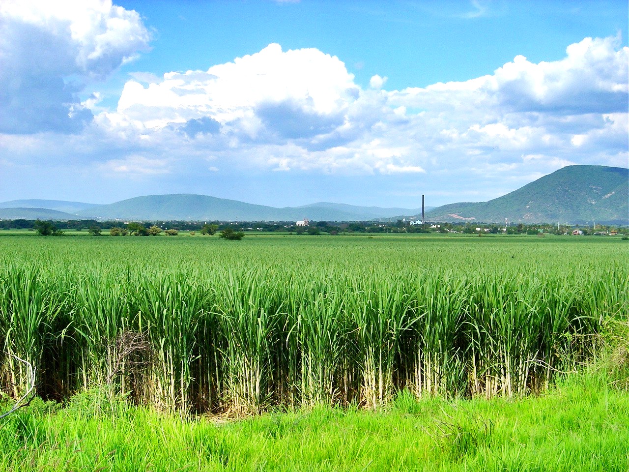
Caña
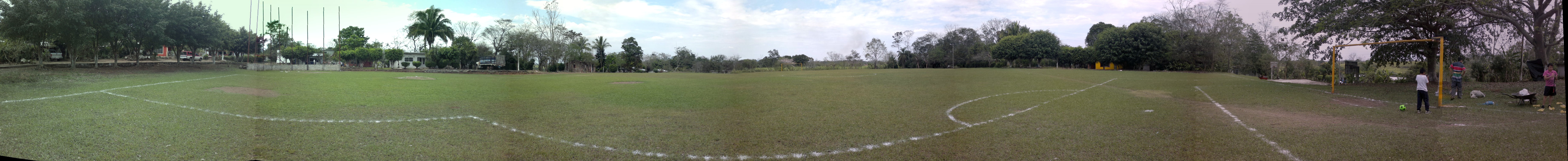
Panoramica del campo de baseball en Toluquilla

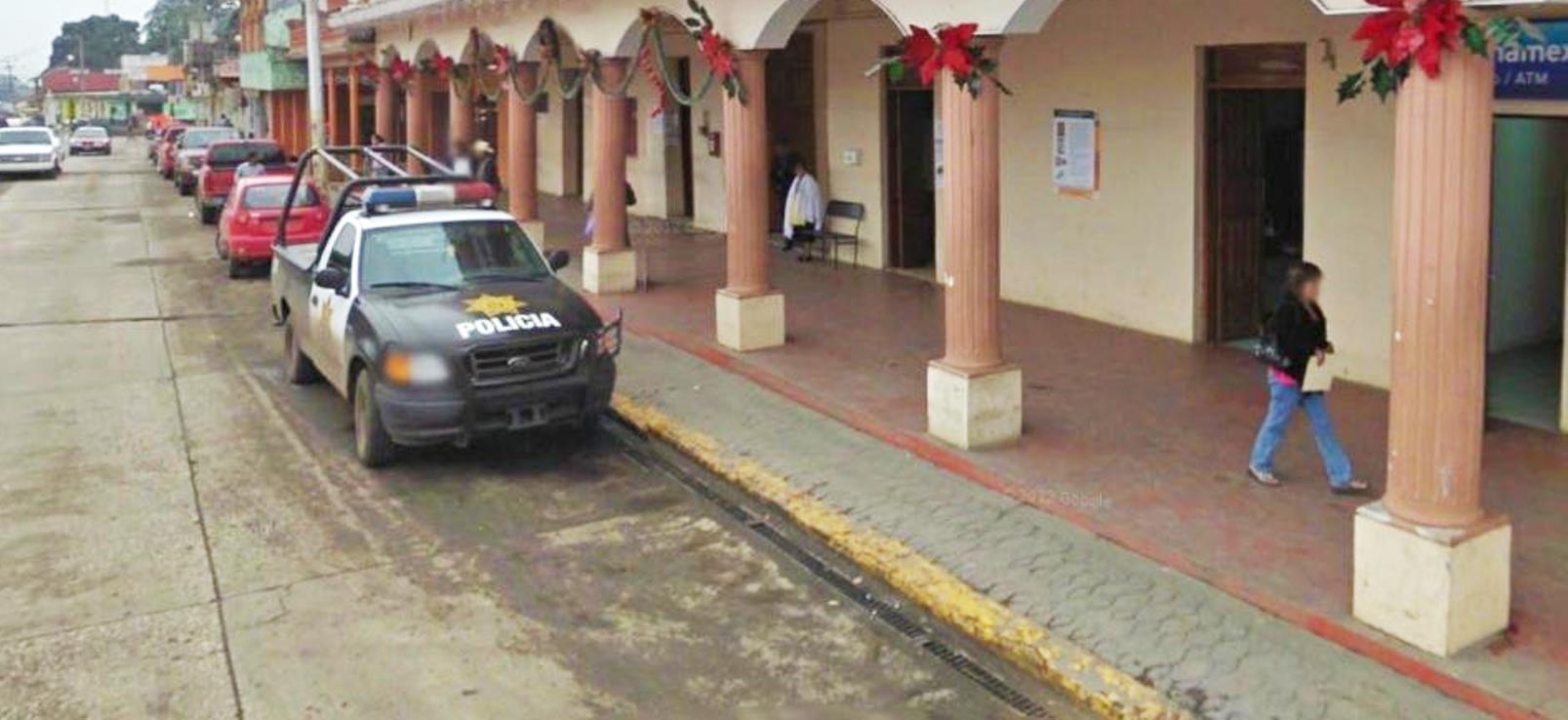
Padre Guadalupe Santos
Tatuajes urbanos XXX
Topographic Map of VILLA NUEVA TEZONAPA 18, Veracruz, Mexico
Find elevation by address:

Places near VILLA NUEVA TEZONAPA 18, Veracruz, Mexico:
Morelos 20, Rancho Nuevo, Ver., Mexico
Rancho Nuevo
Tezonapa - Omealca 53, Veracruz, Mexico
Omealca
Calle 1, Cuichapa, Ver., Mexico
Zongolica
Córdoba - Boca del Rio 32, Omealca, Ver., Mexico
Yanga
Calle 7, Sin Colonia, Yanga, Ver., Mexico
Yanga
Sin Colonia
Córdoba - Boca del Río, Córdoba, Ver., Mexico
58-b
Centro
Matamoros 9, Centro, Amatlán de los Reyes, Ver., Mexico
Amatlán De Los Reyes
Amatlán De Los Reyes
De Cuitláhuac 10, Gral Miguel Alemán, Ver., Mexico
General Miguel Alemán
Aserradero
Recent Searches:
- Elevation of Corso Fratelli Cairoli, 35, Macerata MC, Italy
- Elevation of Tallevast Rd, Sarasota, FL, USA
- Elevation of 4th St E, Sonoma, CA, USA
- Elevation of Black Hollow Rd, Pennsdale, PA, USA
- Elevation of Oakland Ave, Williamsport, PA, USA
- Elevation of Pedrógão Grande, Portugal
- Elevation of Klee Dr, Martinsburg, WV, USA
- Elevation of Via Roma, Pieranica CR, Italy
- Elevation of Tavkvetili Mountain, Georgia
- Elevation of Hartfords Bluff Cir, Mt Pleasant, SC, USA