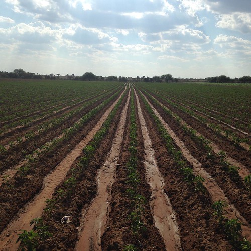
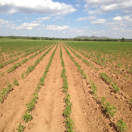
Elevation of Villa de Ramos, San Luis Potosi, Mexico
Location: Mexico > San Luis Potosi >
Longitude: -101.91143
Latitude: 22.8302607
Elevation: 2203m / 7228feet
Barometric Pressure: 77KPa
Related Photos:
Topographic Map of Villa de Ramos, San Luis Potosi, Mexico
Find elevation by address:

Places near Villa de Ramos, San Luis Potosi, Mexico:
Ojocaliente
Ojocaliente
Tacoaleche
San Antonio Del Ciprés
San Antonio Del Ciprés
Juan Escutia 2, San Antonio del Ciprés, San Antonio del Ciprés, Zac., Mexico
Guadalupe
Zacatecas
Pánuco
Zacatecas
Zacatecas
Zacatecas
Buenavista 2, Zona Centro, Morelos, Zac., Mexico
Morelos
Zona Centro
Morelos
Mexico
Recent Searches:
- Elevation of Corso Fratelli Cairoli, 35, Macerata MC, Italy
- Elevation of Tallevast Rd, Sarasota, FL, USA
- Elevation of 4th St E, Sonoma, CA, USA
- Elevation of Black Hollow Rd, Pennsdale, PA, USA
- Elevation of Oakland Ave, Williamsport, PA, USA
- Elevation of Pedrógão Grande, Portugal
- Elevation of Klee Dr, Martinsburg, WV, USA
- Elevation of Via Roma, Pieranica CR, Italy
- Elevation of Tavkvetili Mountain, Georgia
- Elevation of Hartfords Bluff Cir, Mt Pleasant, SC, USA


