Elevation of Villa Alota, Bolivia
Location: Bolivia > Potosi Department > Enrique Baldivieso >
Longitude: -67.597675
Latitude: -21.402813
Elevation: 3814m / 12513feet
Barometric Pressure: 63KPa
Elevation Map:
Satellite Map:
Related Photos:
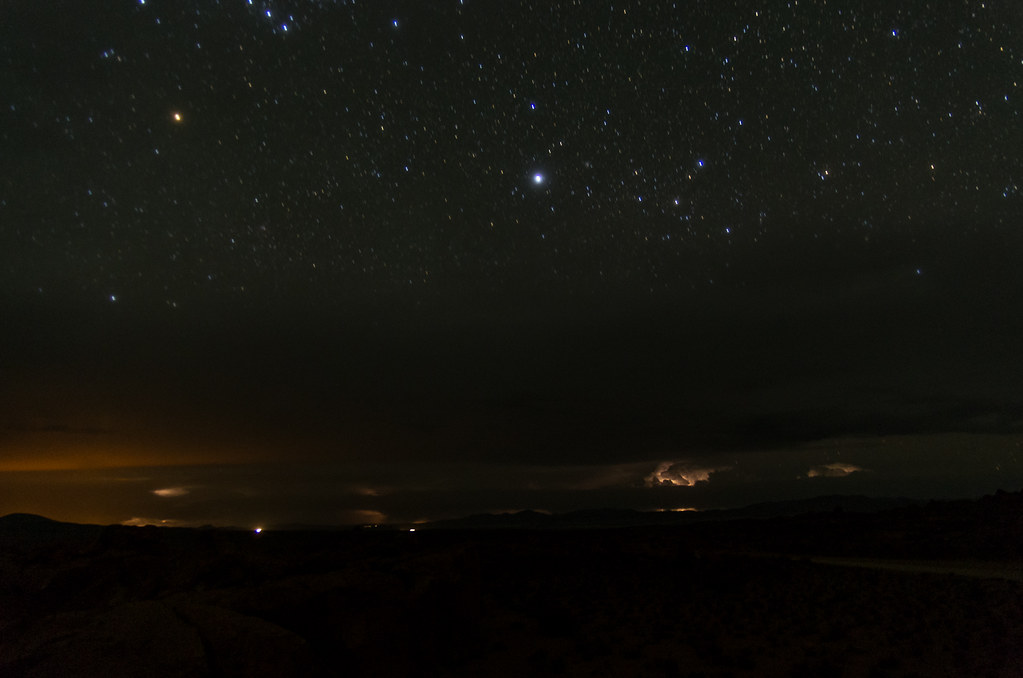

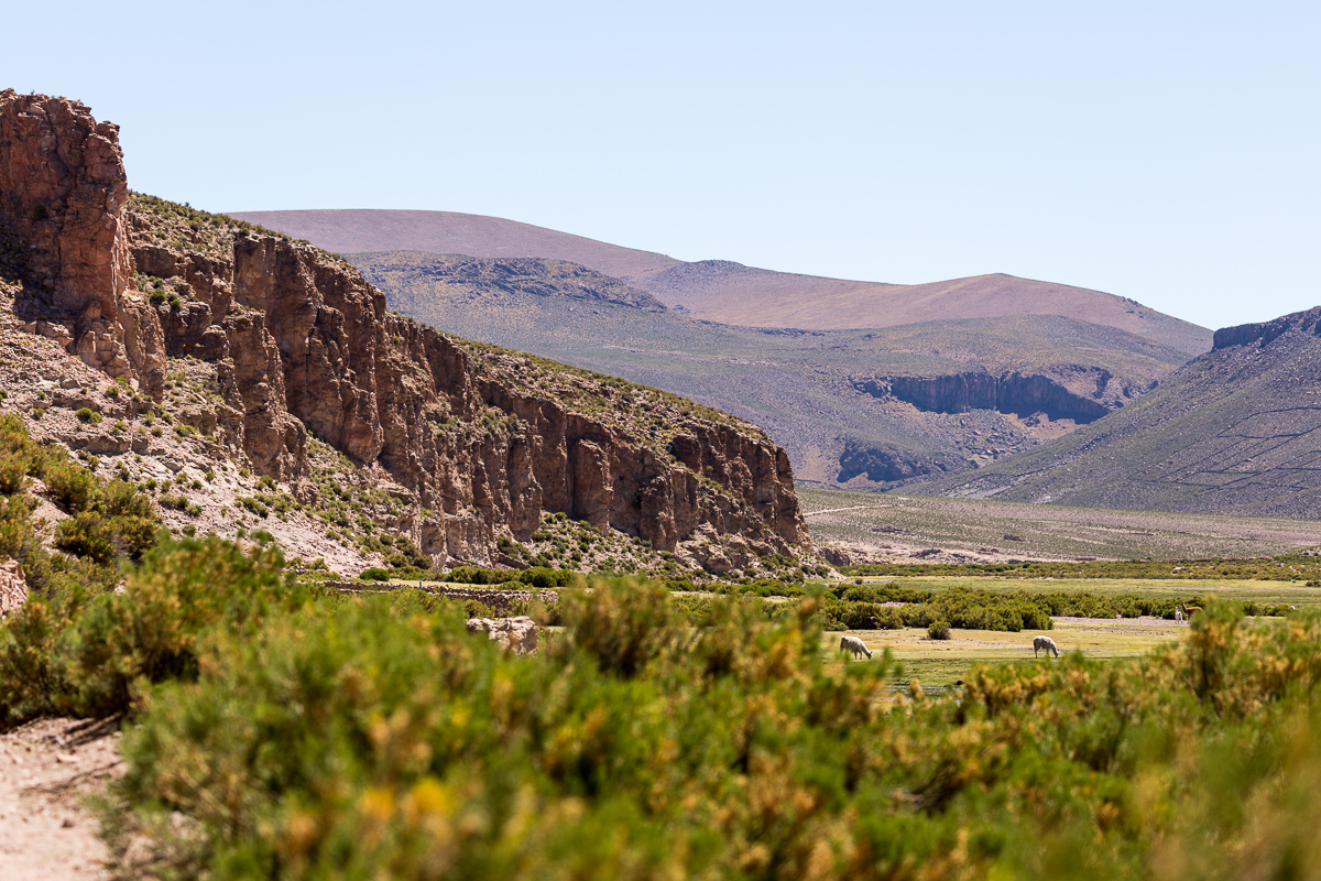
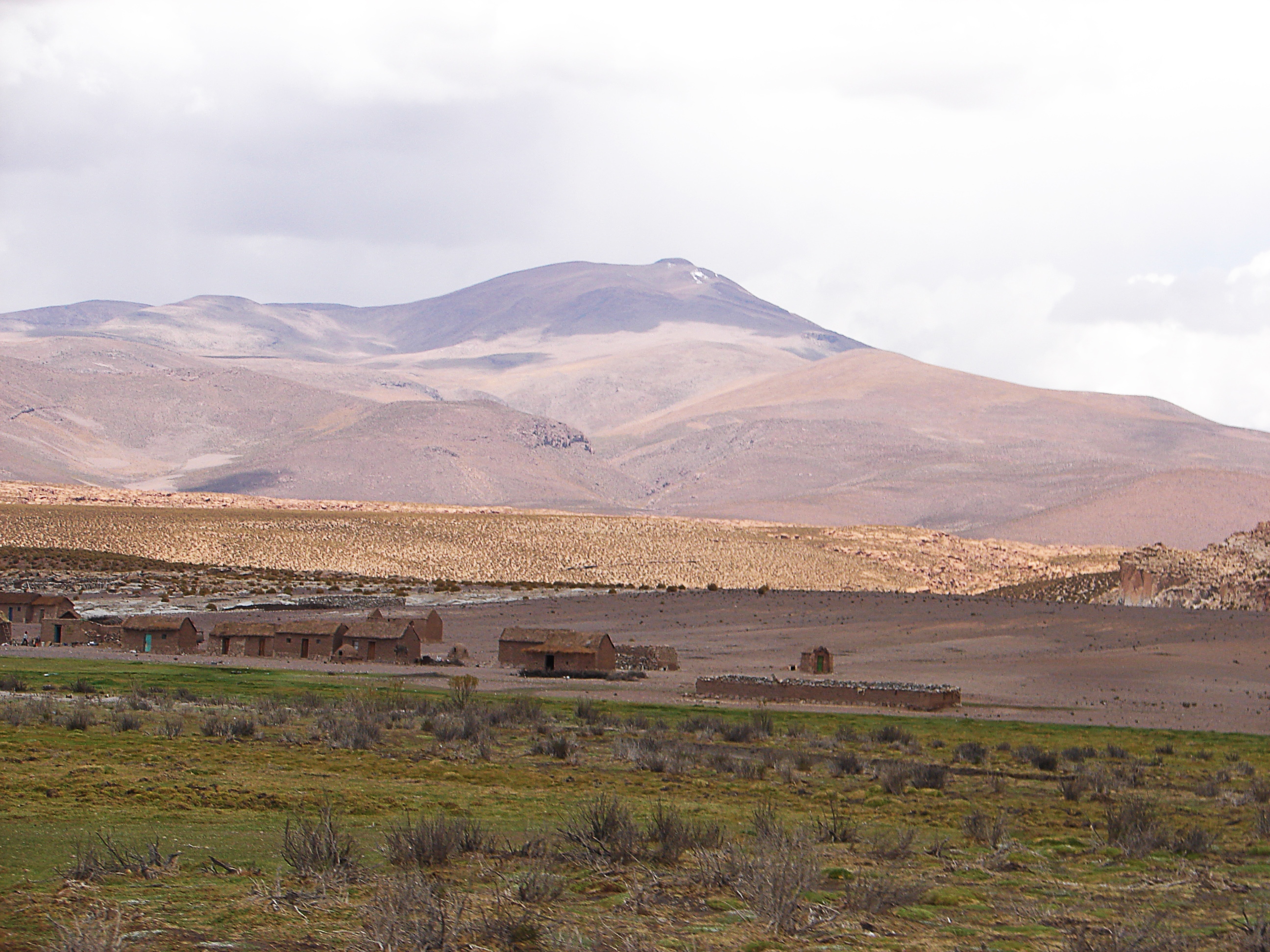
Altiplano Boliviano

Bolivian Altiplano

Bolivian Altiplano

Pink Flamingo

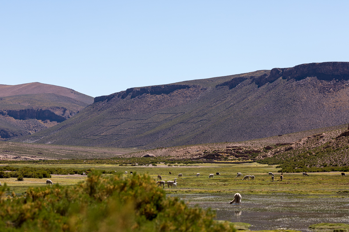
Bofedales bolivianos
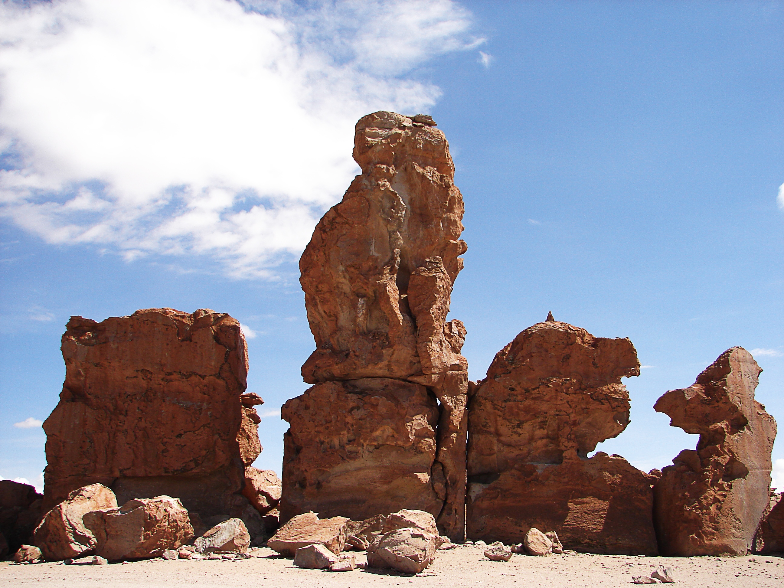
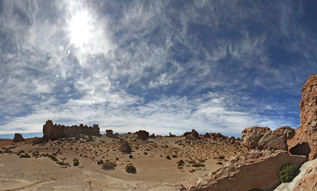
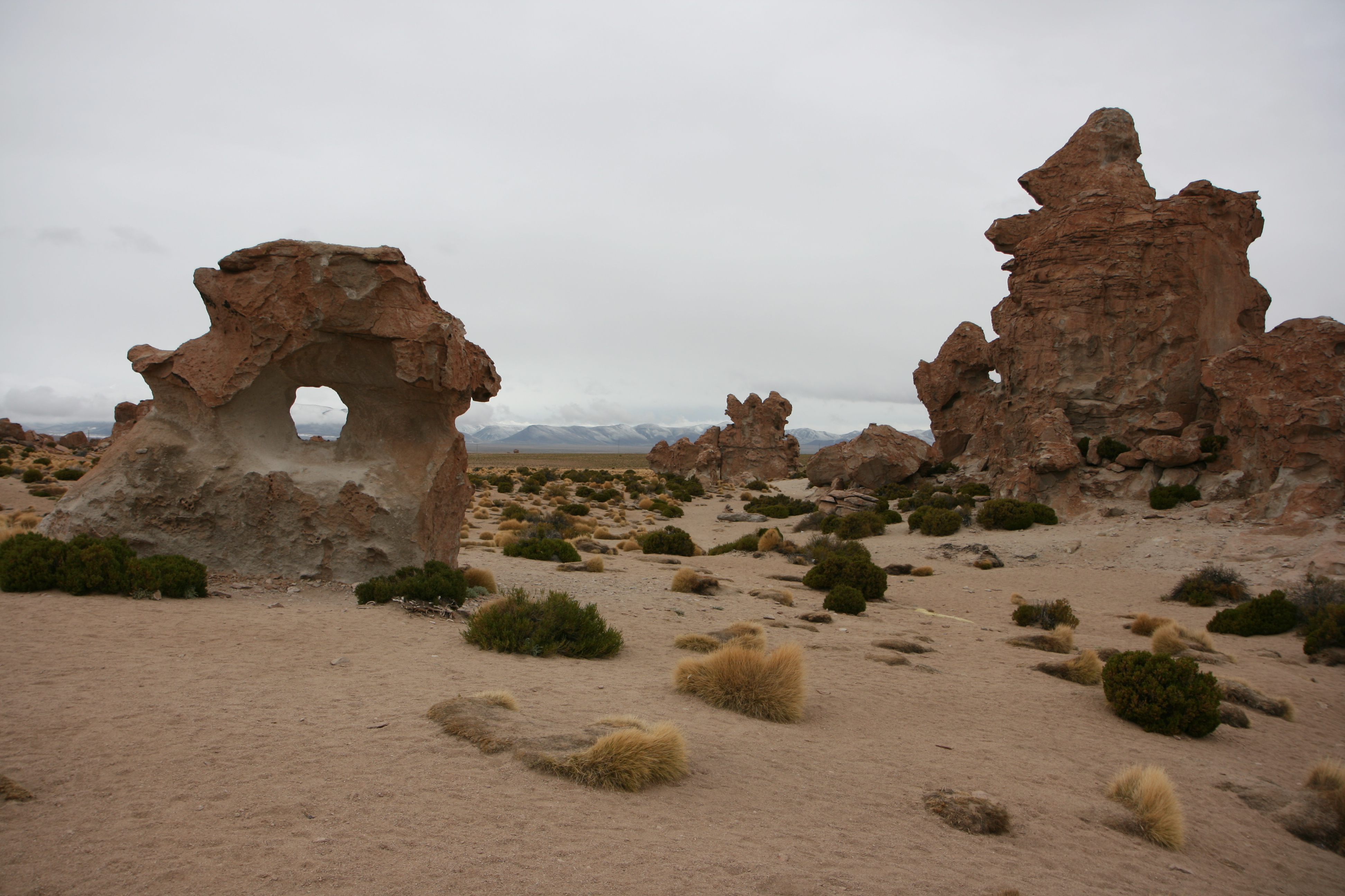
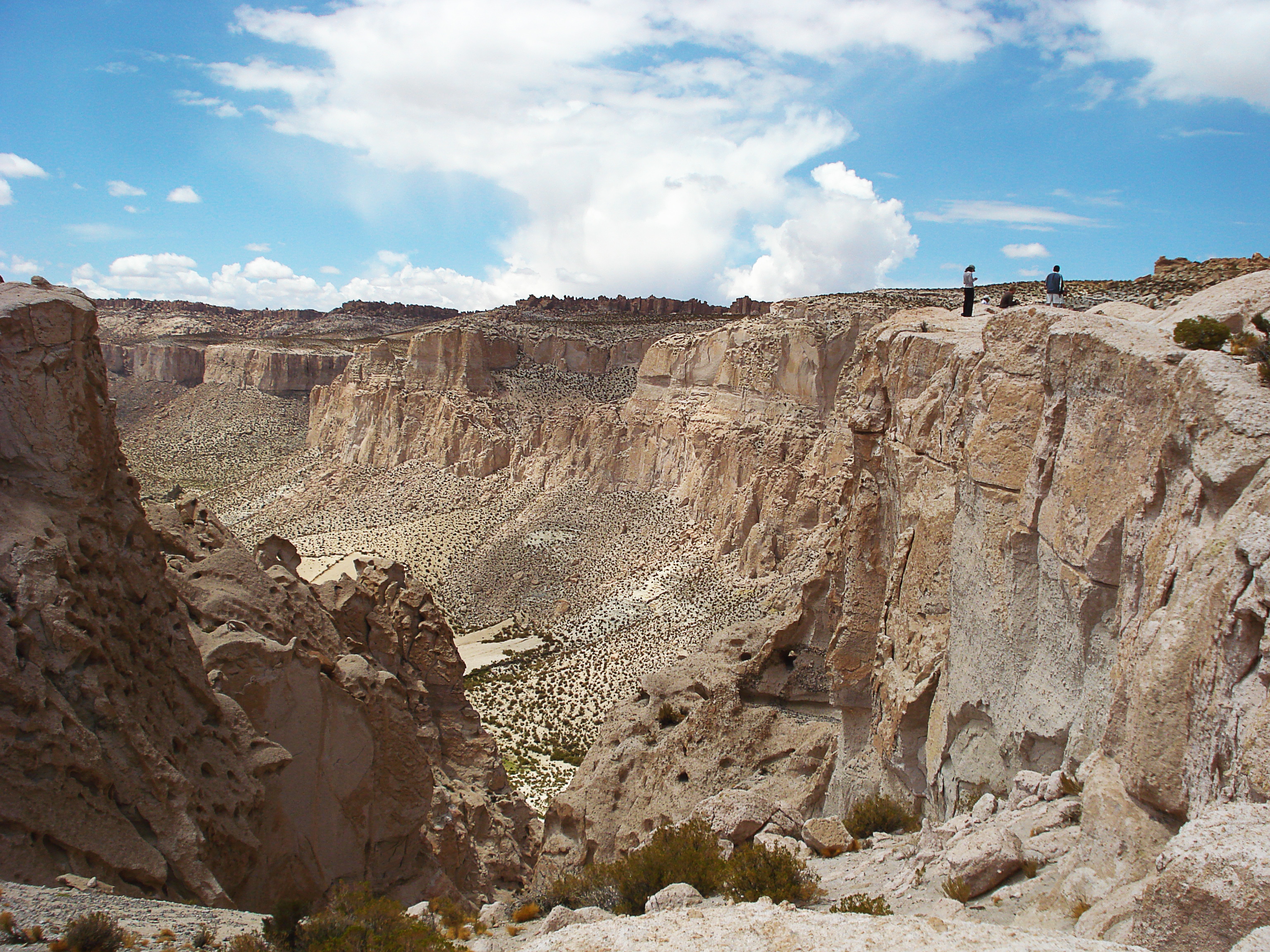
Valle de Las Rocas
[Group 20]-IMG_2490_IMG_2502-12 images
Potosi, Bolivia
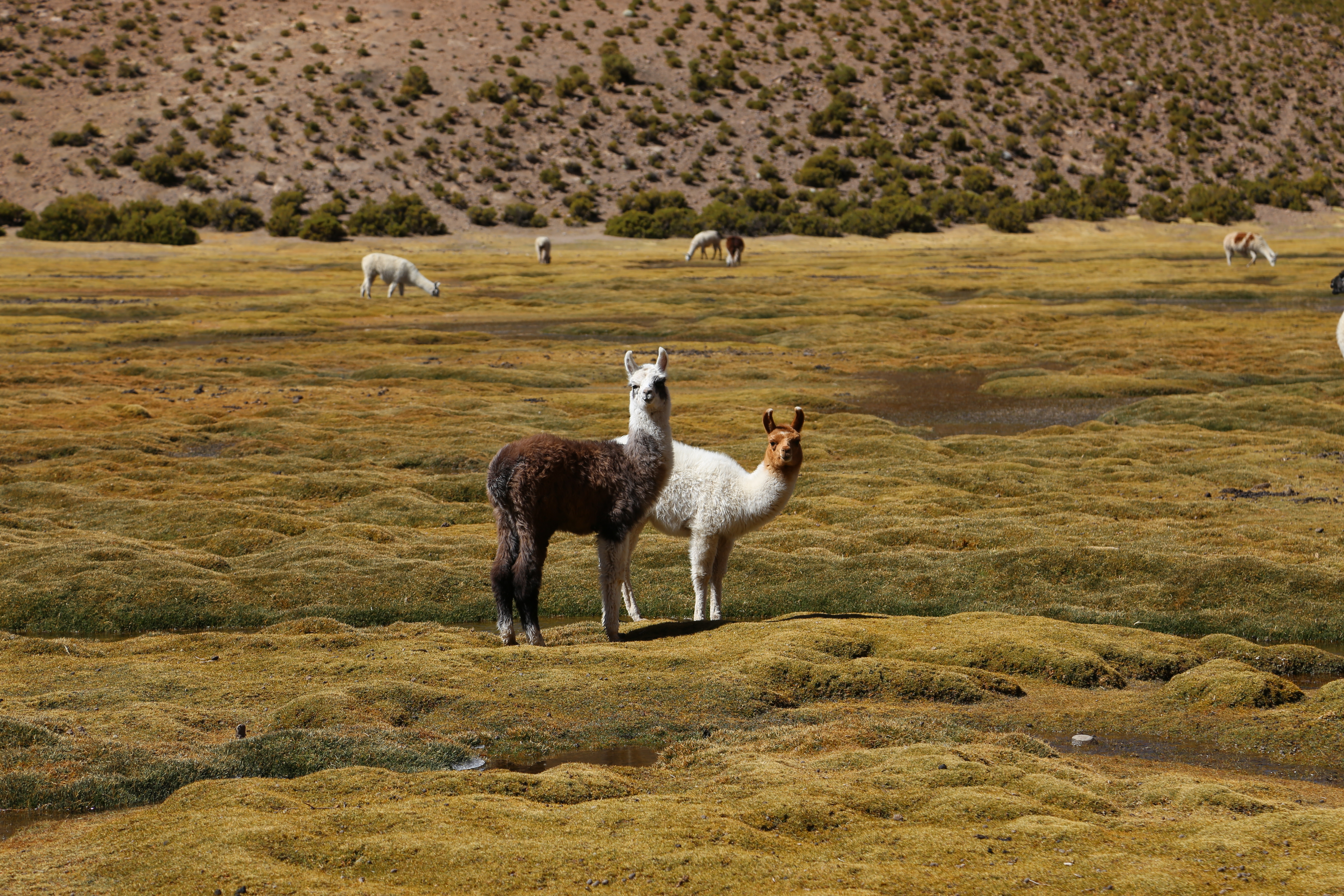
Intrigued baby lamas
Salar de Uyuni, Bolivia
Estancia Chakha
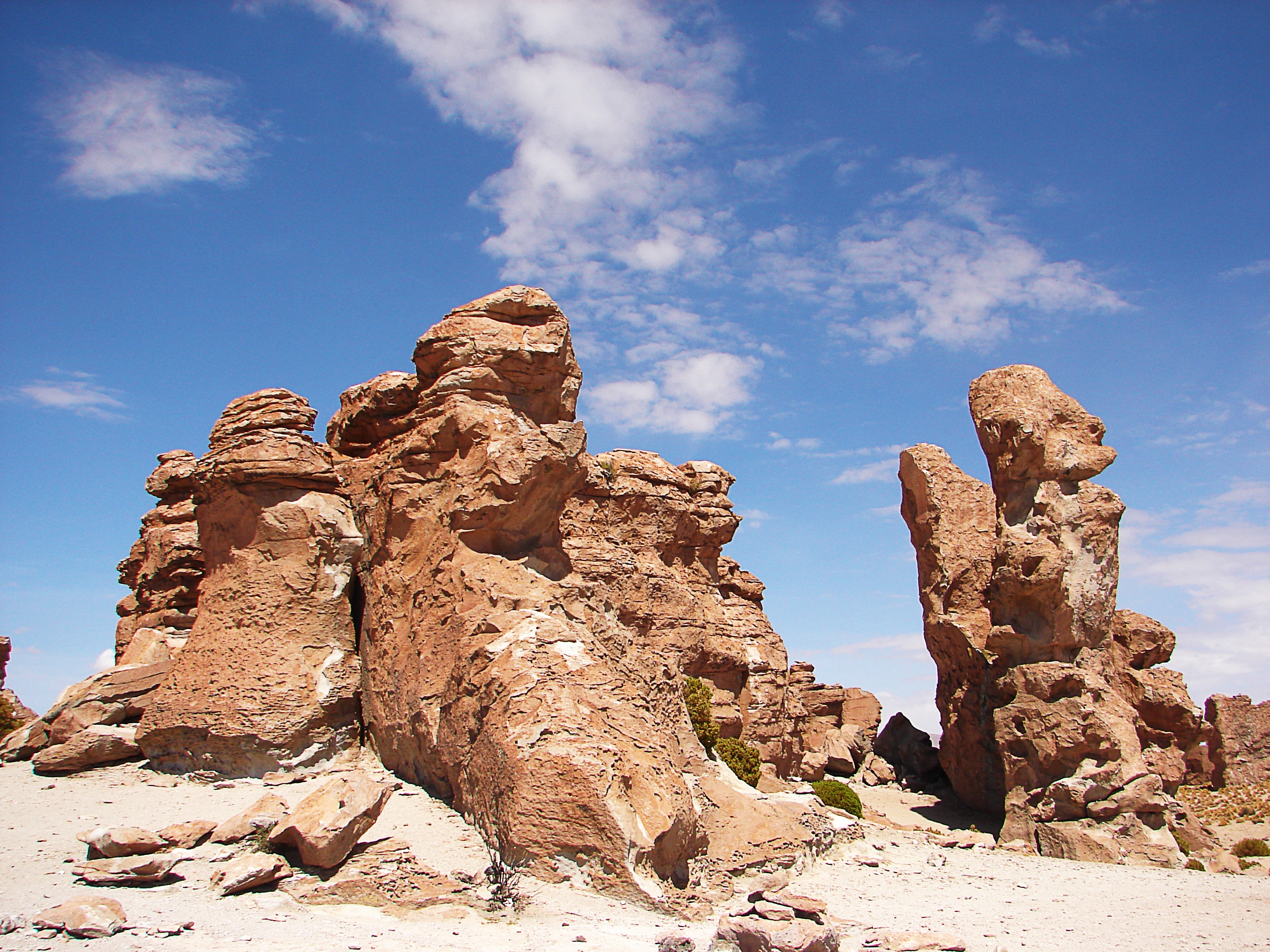
Valle de Las Rocas
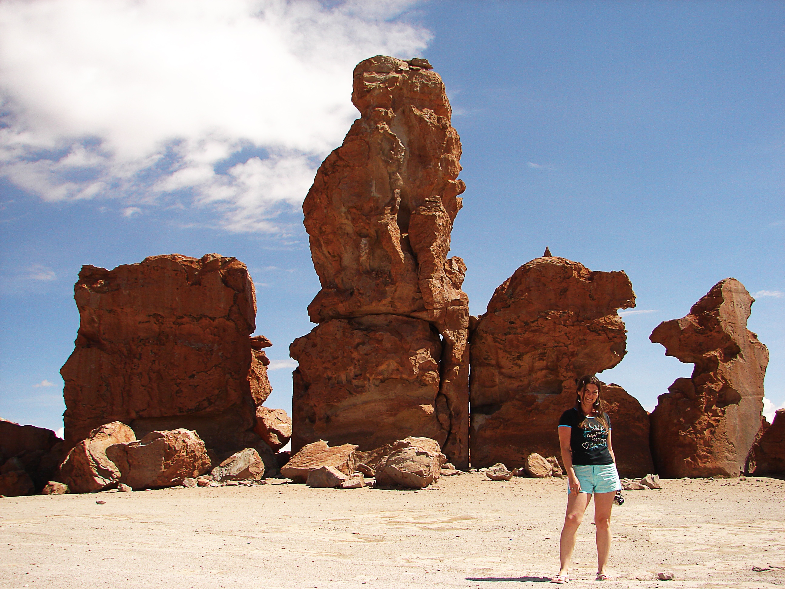
Valle de Las Rocas
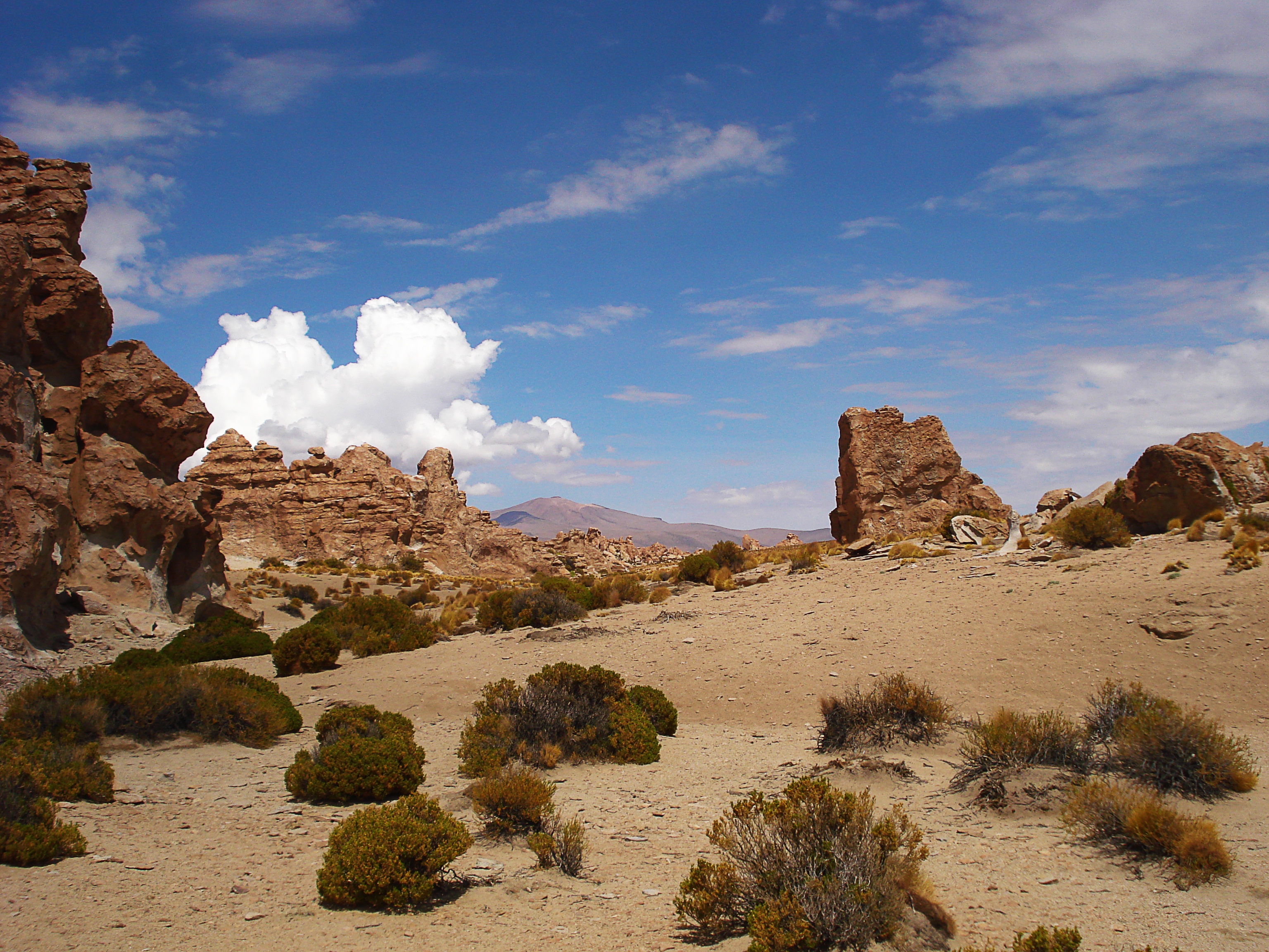
Valle de Las Rocas
Potosí Department

Negative Space

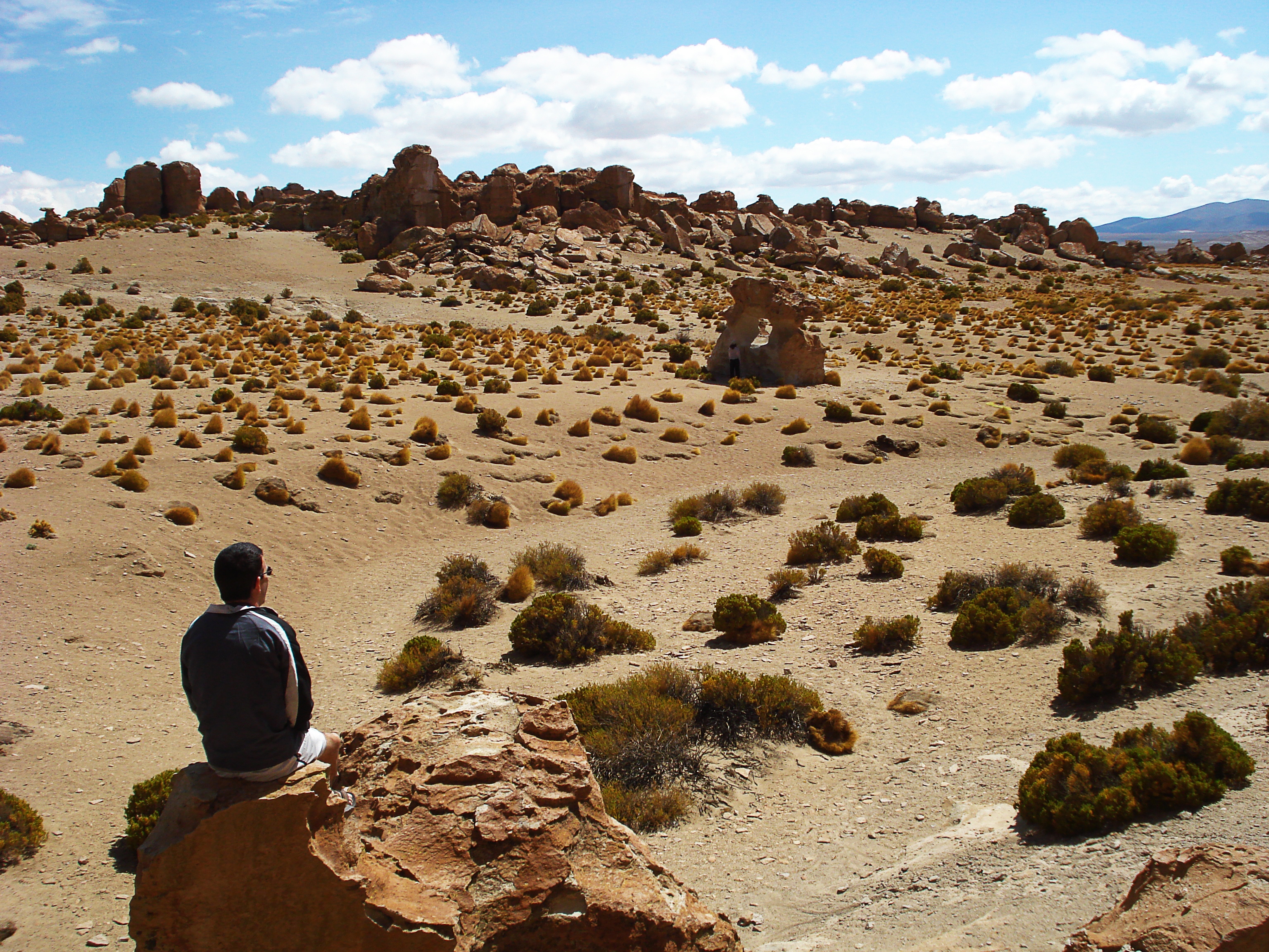
Rock Formations
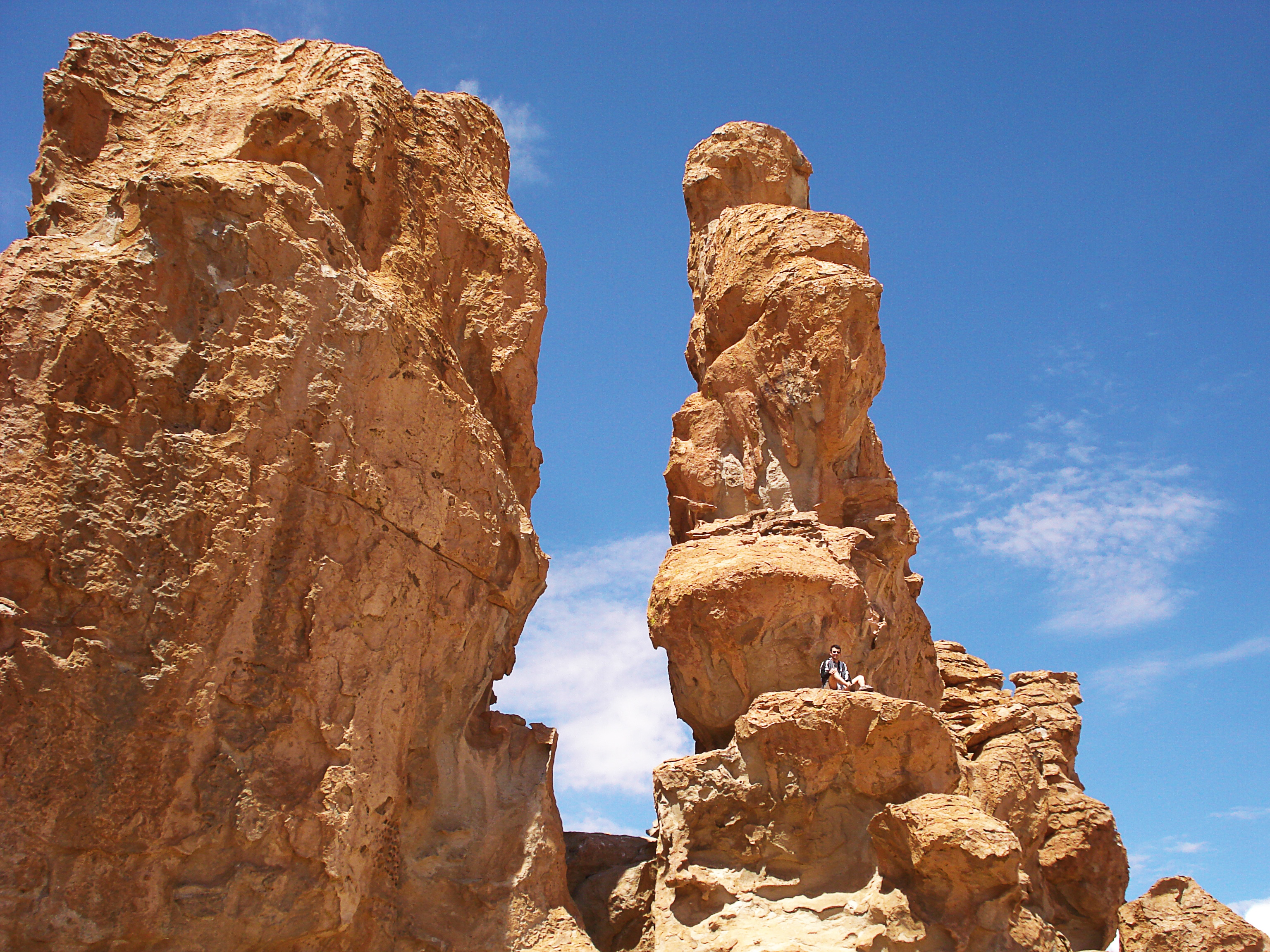
Valle de Las Rocas
La Cascata
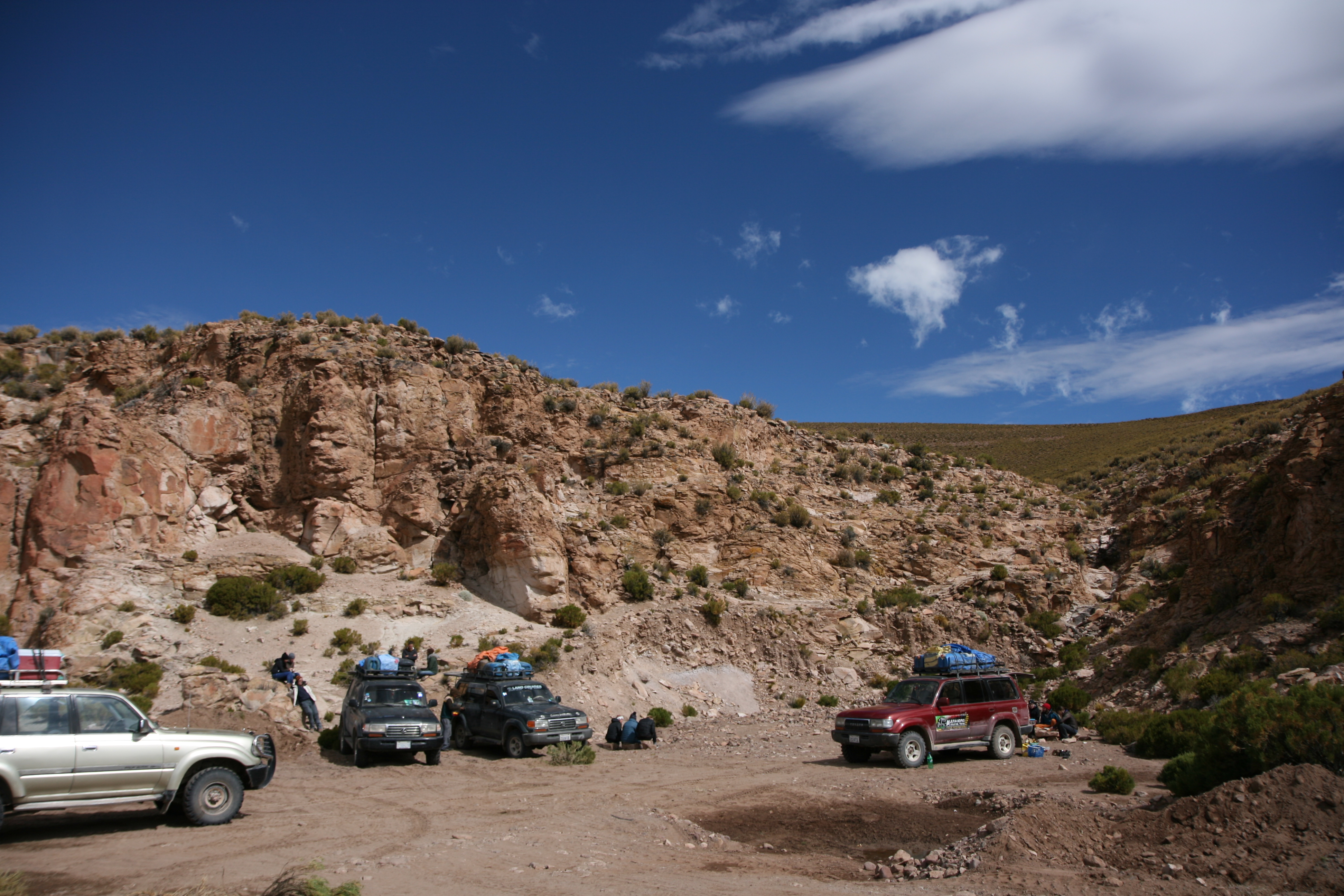
A caminho de Alota
Valle de Las Rocas
Topographic Map of Villa Alota, Bolivia
Find elevation by address:

Places near Villa Alota, Bolivia:
Hospedaje Los Andes
Alota
Tomasamil
Los Flamencos Eco Hotel
Laguna Hedionda
Laguna Charcota
Laguna Honda
Salar De Chiguana
Ramaditas
Desierto De Siloli
Tayka Del Desierto
Ollague
Árbol De Piedra
Amincha
Laguna Colorada
Aucanquilcha
El Tatio
Tatio Geyser
Sol De Mañana
El Loa
Recent Searches:
- Elevation of Corso Fratelli Cairoli, 35, Macerata MC, Italy
- Elevation of Tallevast Rd, Sarasota, FL, USA
- Elevation of 4th St E, Sonoma, CA, USA
- Elevation of Black Hollow Rd, Pennsdale, PA, USA
- Elevation of Oakland Ave, Williamsport, PA, USA
- Elevation of Pedrógão Grande, Portugal
- Elevation of Klee Dr, Martinsburg, WV, USA
- Elevation of Via Roma, Pieranica CR, Italy
- Elevation of Tavkvetili Mountain, Georgia
- Elevation of Hartfords Bluff Cir, Mt Pleasant, SC, USA