Elevation map of Vilhelmina V, Sweden
Location: Sweden > Västerbotten County >
Longitude: 15.7621392
Latitude: 65.1235396
Elevation: 620m / 2034feet
Barometric Pressure: 94KPa
Elevation Map:
Satellite Map:
Related Photos:
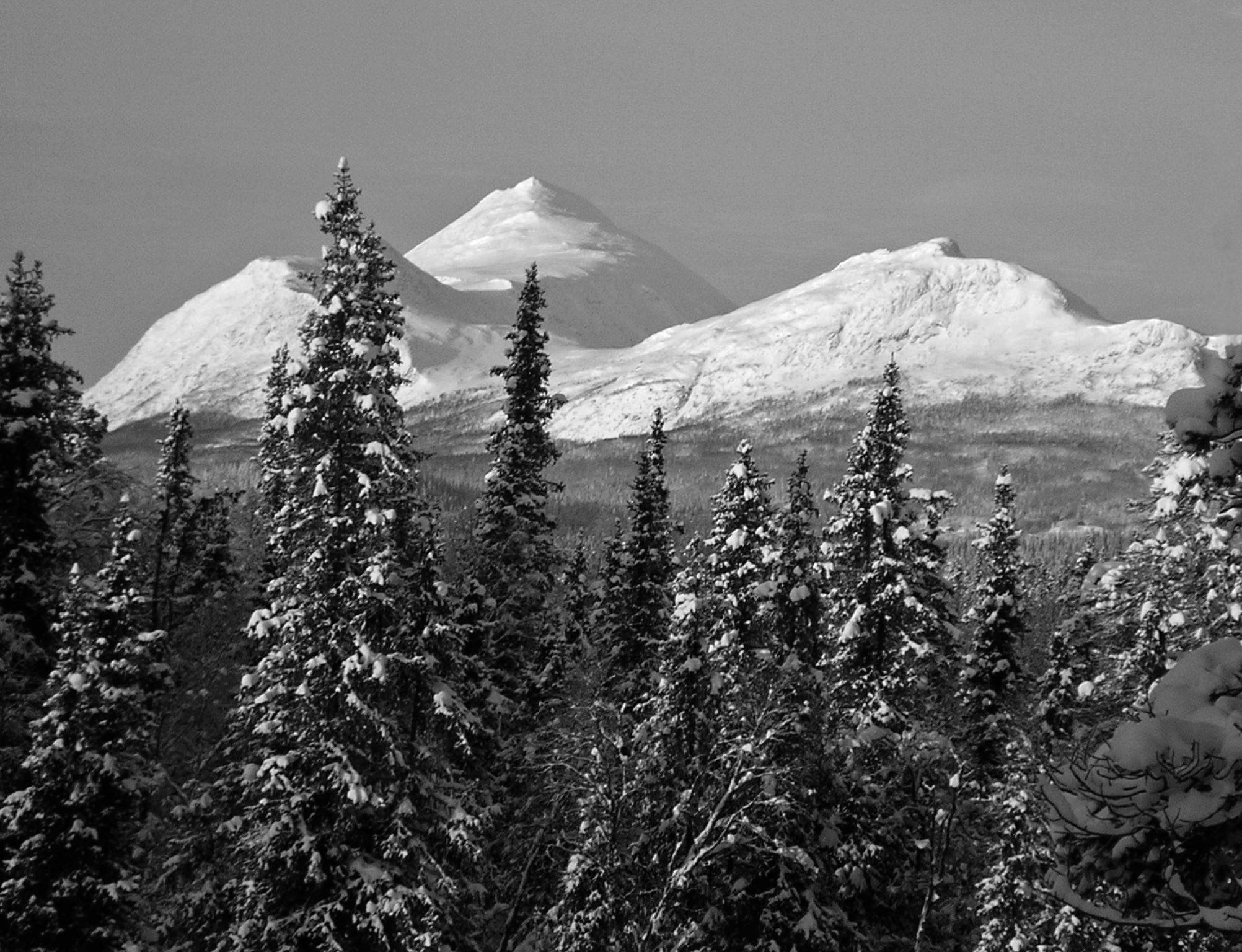
The view
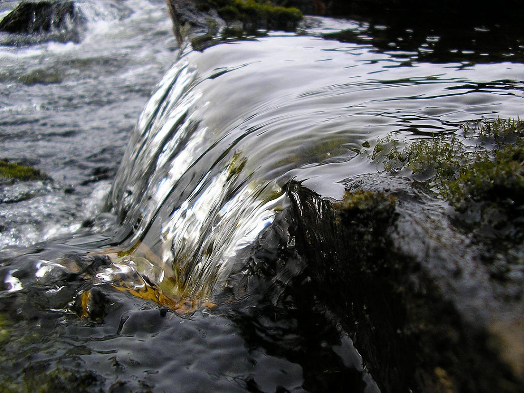
Vojmån

Fjällbjörkskog

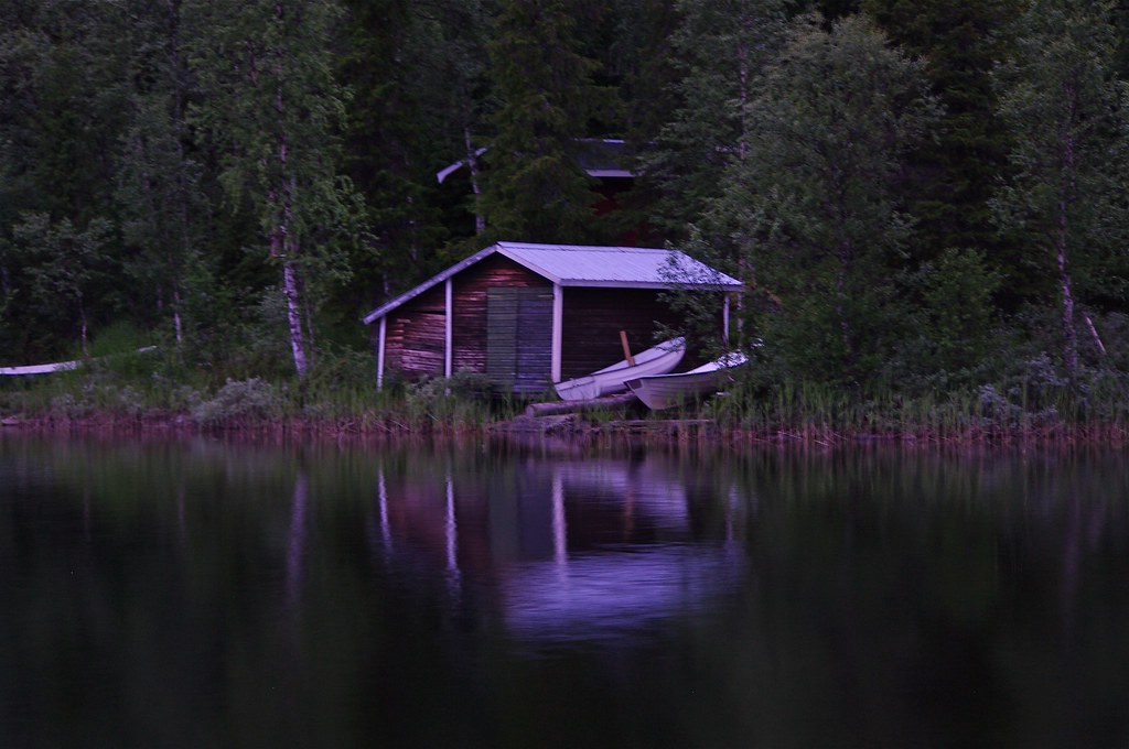
Lapplägret
Amid the Wilderness
Topographic Map of Vilhelmina V, Sweden
Find elevation by address:

Places in Vilhelmina V, Sweden:
BERGSUND 7, 94 Dikanäs, Sweden
Dikanäsvägen 41, 94 Dikanäs, Sweden
BRÄNNÅKER 8, 99 Vilhelmina, Sweden
Places near Vilhelmina V, Sweden:
Dikanäsvägen 41, 94 Dikanäs, Sweden
Bergland 29, 99 Vilhelmina, Sweden
Bergland
Storuman
Västerbotten County
Sorsele Nv
Storuman C
Myrvägen 8, 70 Sorsele, Sweden
Ammarnäs
FJÄLLSJÖNÄS, 70 Sorsele, Sweden
BRÄNNÅKER 8, 99 Vilhelmina, Sweden
FJÄLLSJÖNÄS, 70 Sorsele, Sweden
Recent Searches:
- Elevation of Corso Fratelli Cairoli, 35, Macerata MC, Italy
- Elevation of Tallevast Rd, Sarasota, FL, USA
- Elevation of 4th St E, Sonoma, CA, USA
- Elevation of Black Hollow Rd, Pennsdale, PA, USA
- Elevation of Oakland Ave, Williamsport, PA, USA
- Elevation of Pedrógão Grande, Portugal
- Elevation of Klee Dr, Martinsburg, WV, USA
- Elevation of Via Roma, Pieranica CR, Italy
- Elevation of Tavkvetili Mountain, Georgia
- Elevation of Hartfords Bluff Cir, Mt Pleasant, SC, USA