Elevation of Vilayat, Gujarat, India
Location: India > Gujarat >
Longitude: 72.8810859
Latitude: 21.7646995
Elevation: 13m / 43feet
Barometric Pressure: 101KPa
Elevation Map:
Satellite Map:
Related Photos:
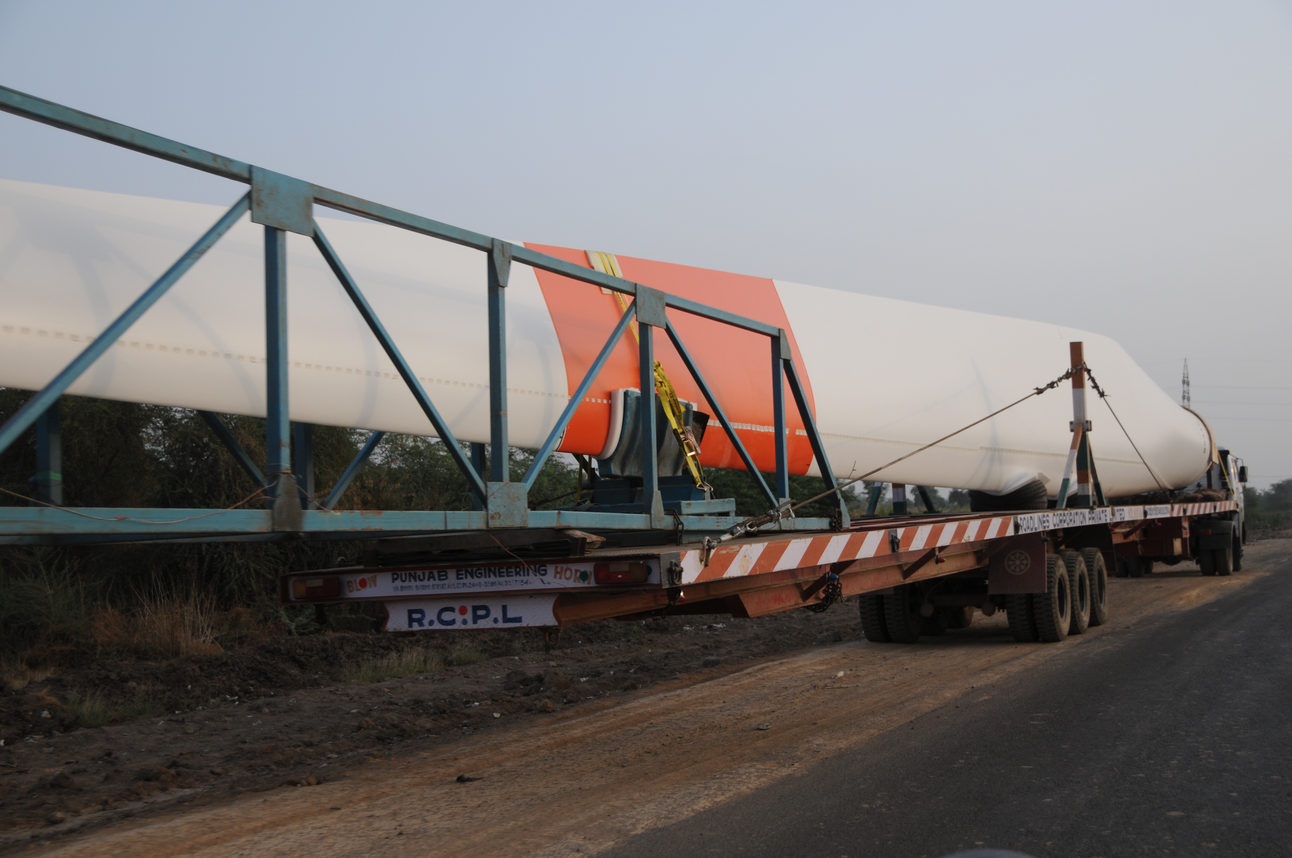
CSP_6594.JPG
CSP_6620.JPG
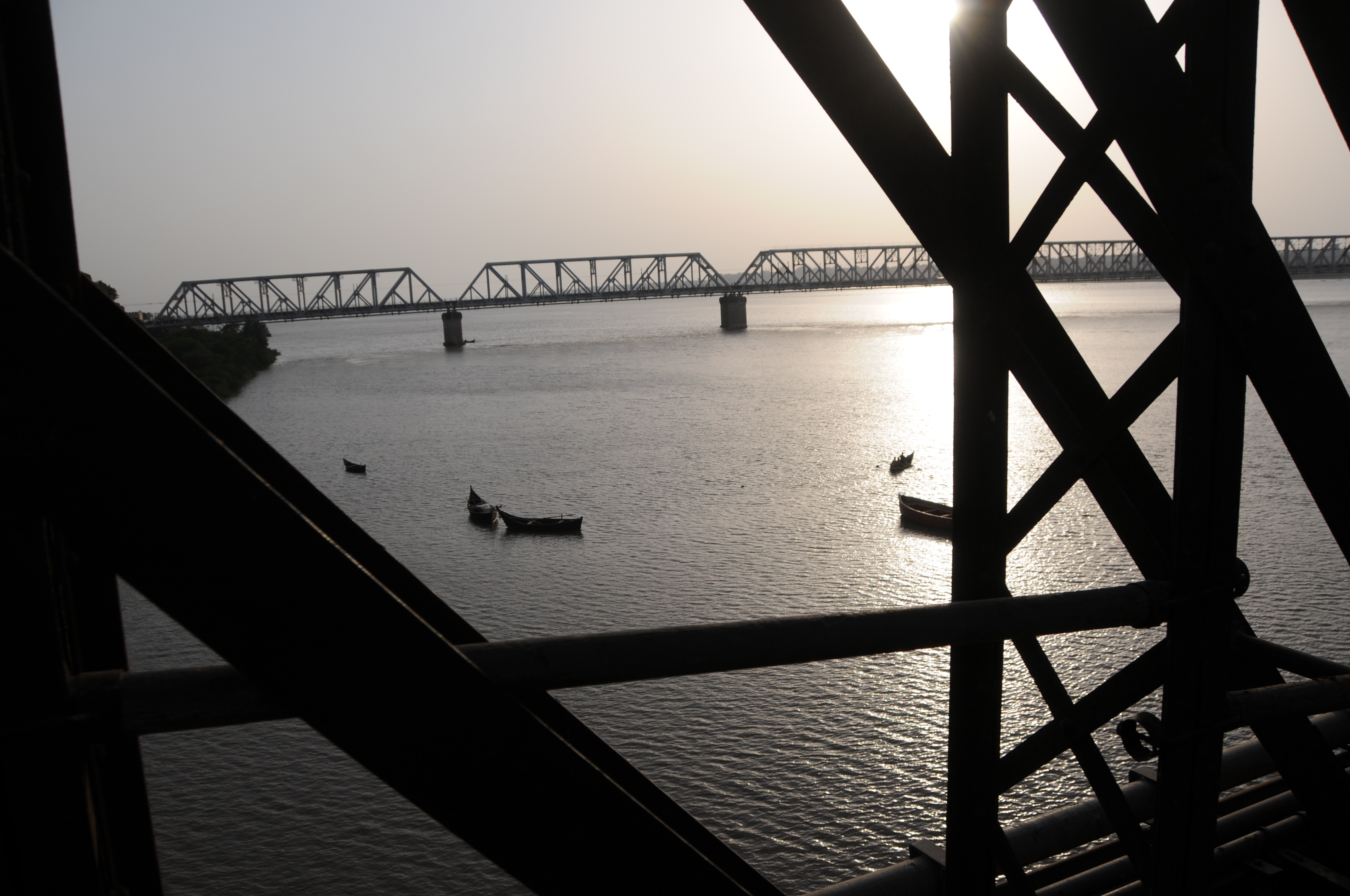
Bharuch, Gujarat
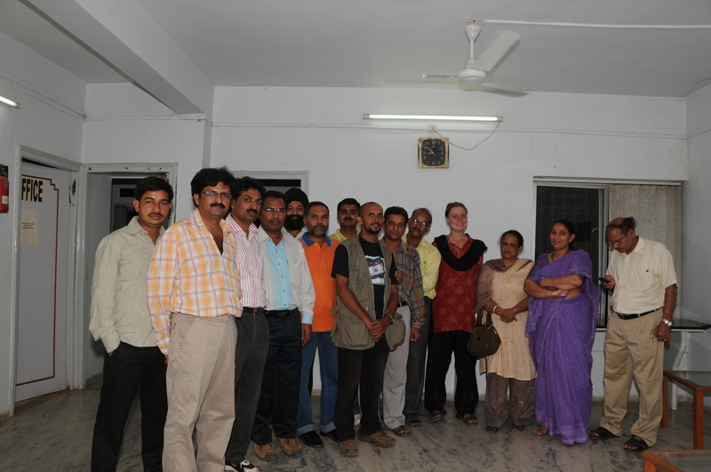
CSP_6591.JPG
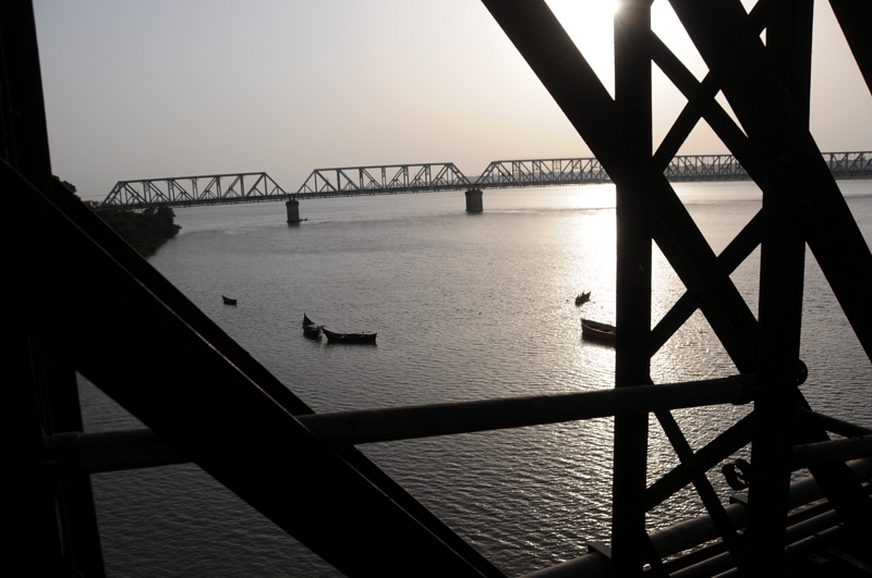
Bharuch, Gujarat
CSP_6592.JPG
CSP_6603.JPG
CSP_6611.JPG
CSP_6641.JPG
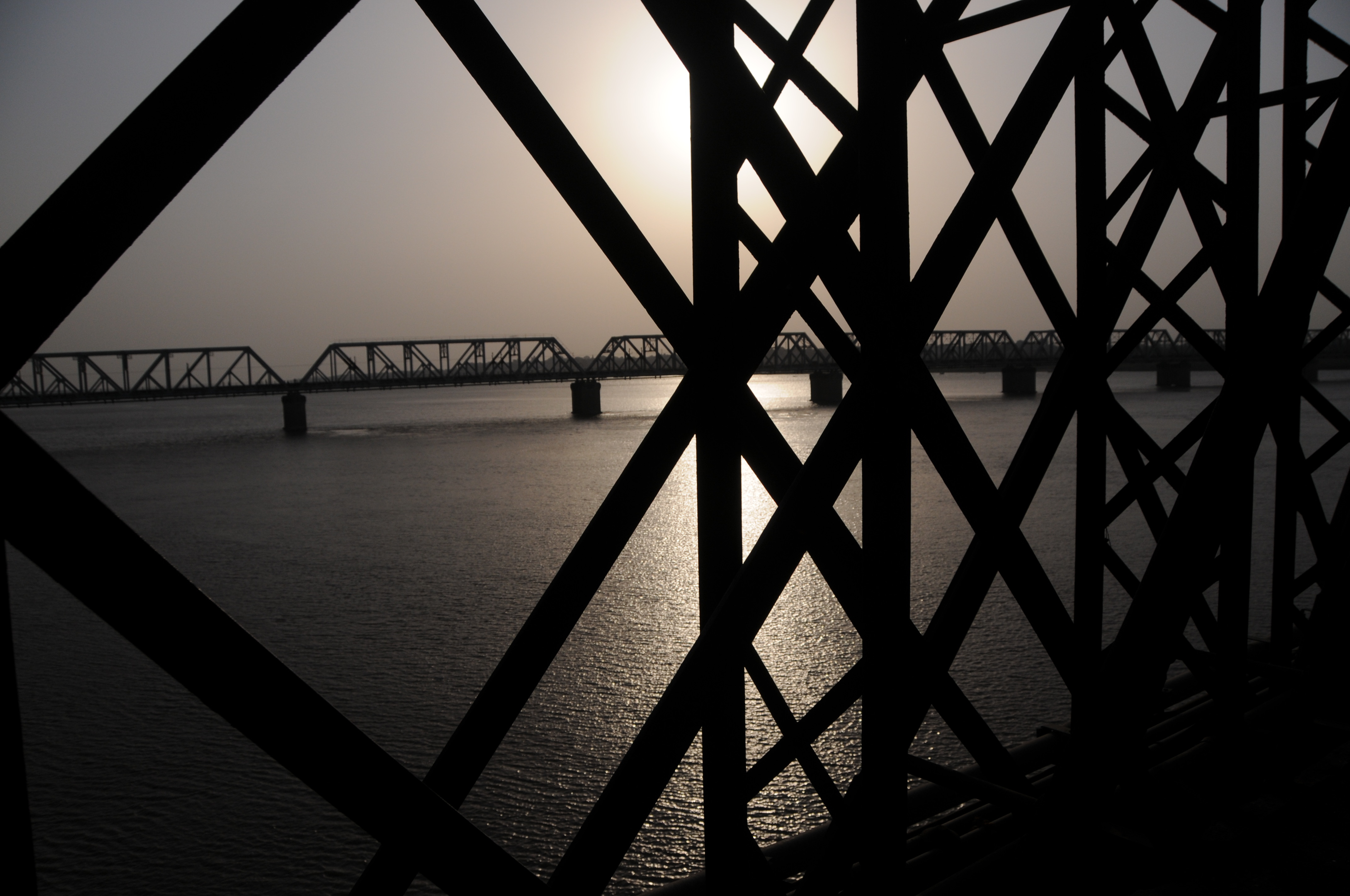
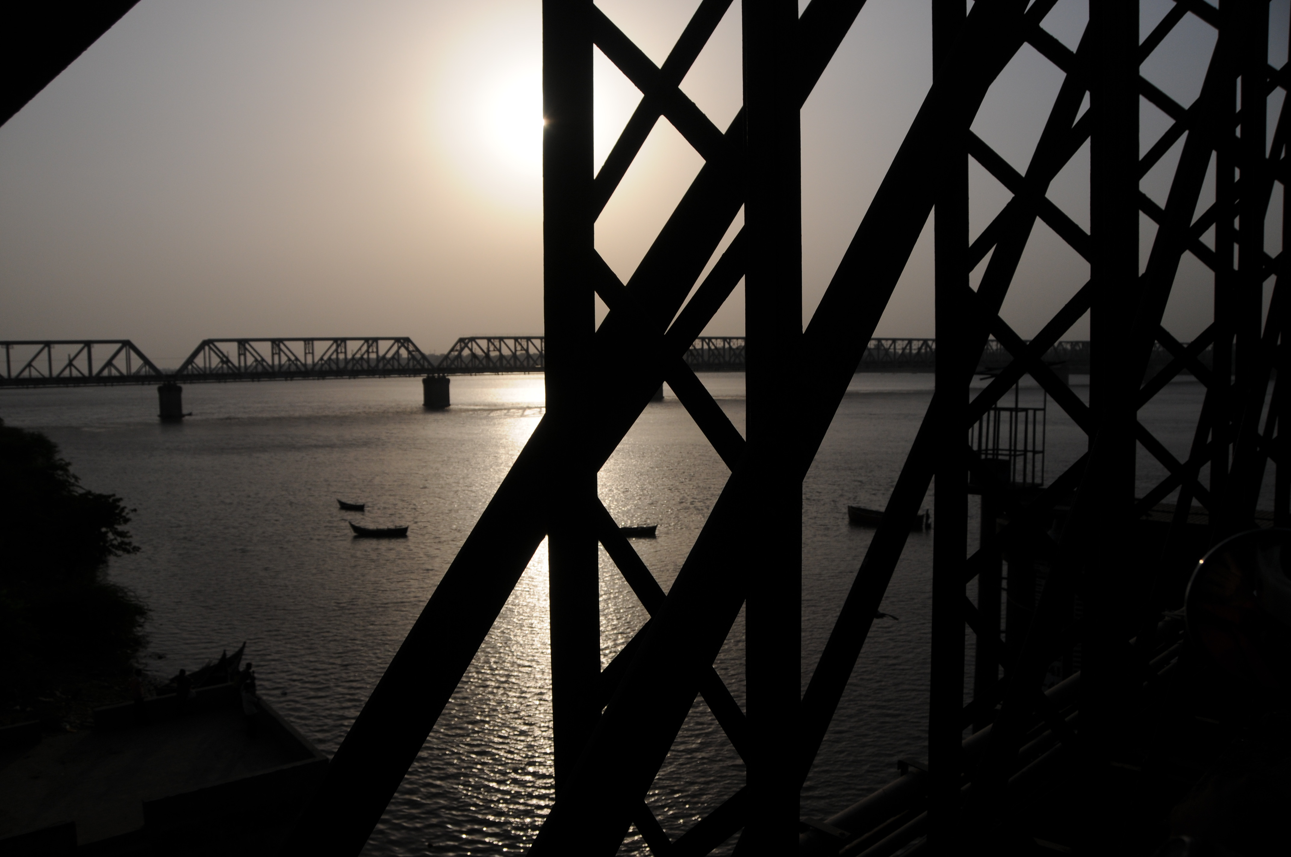
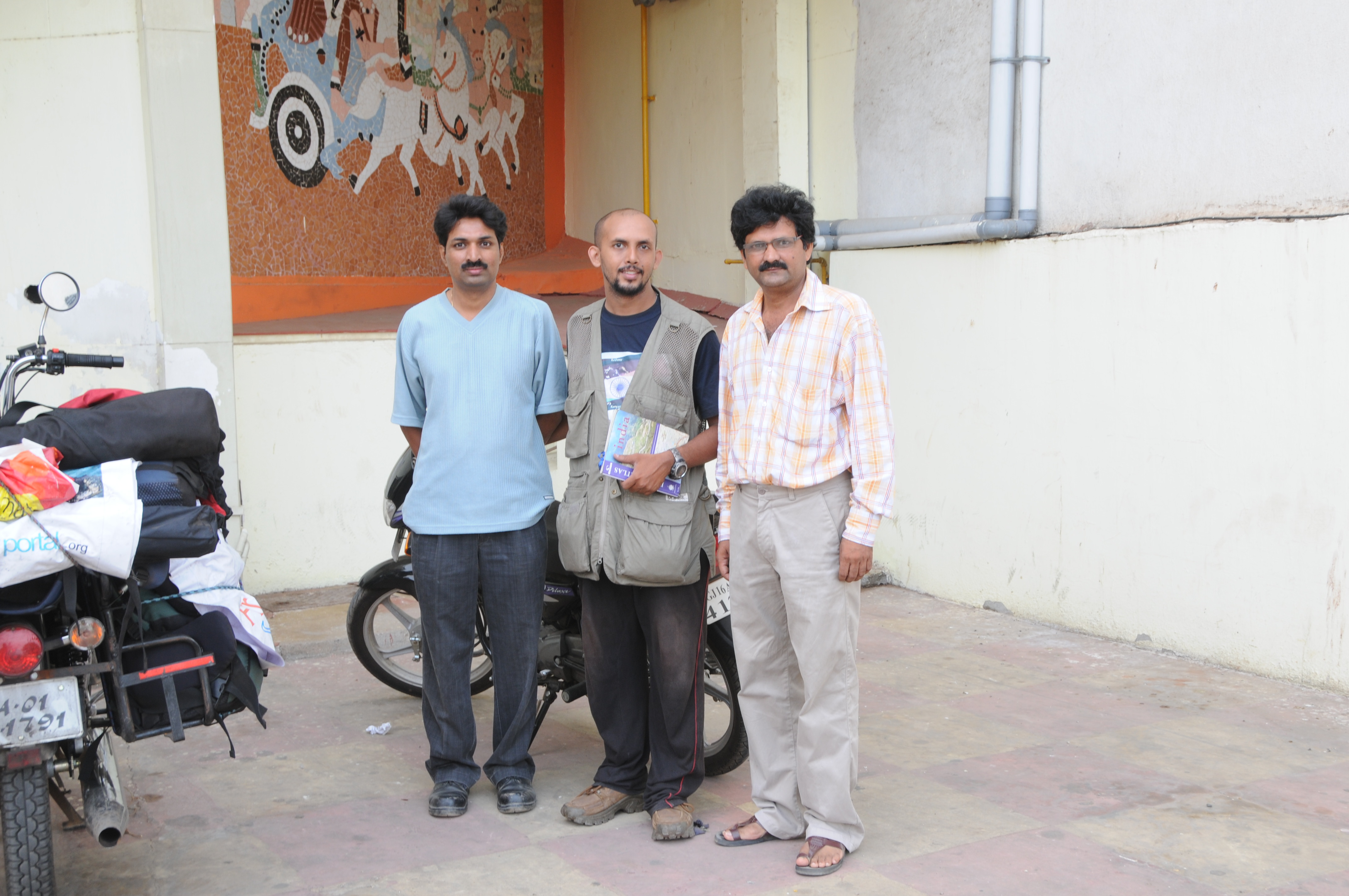
Bharuch, Gujarat
CSP_6631.JPG
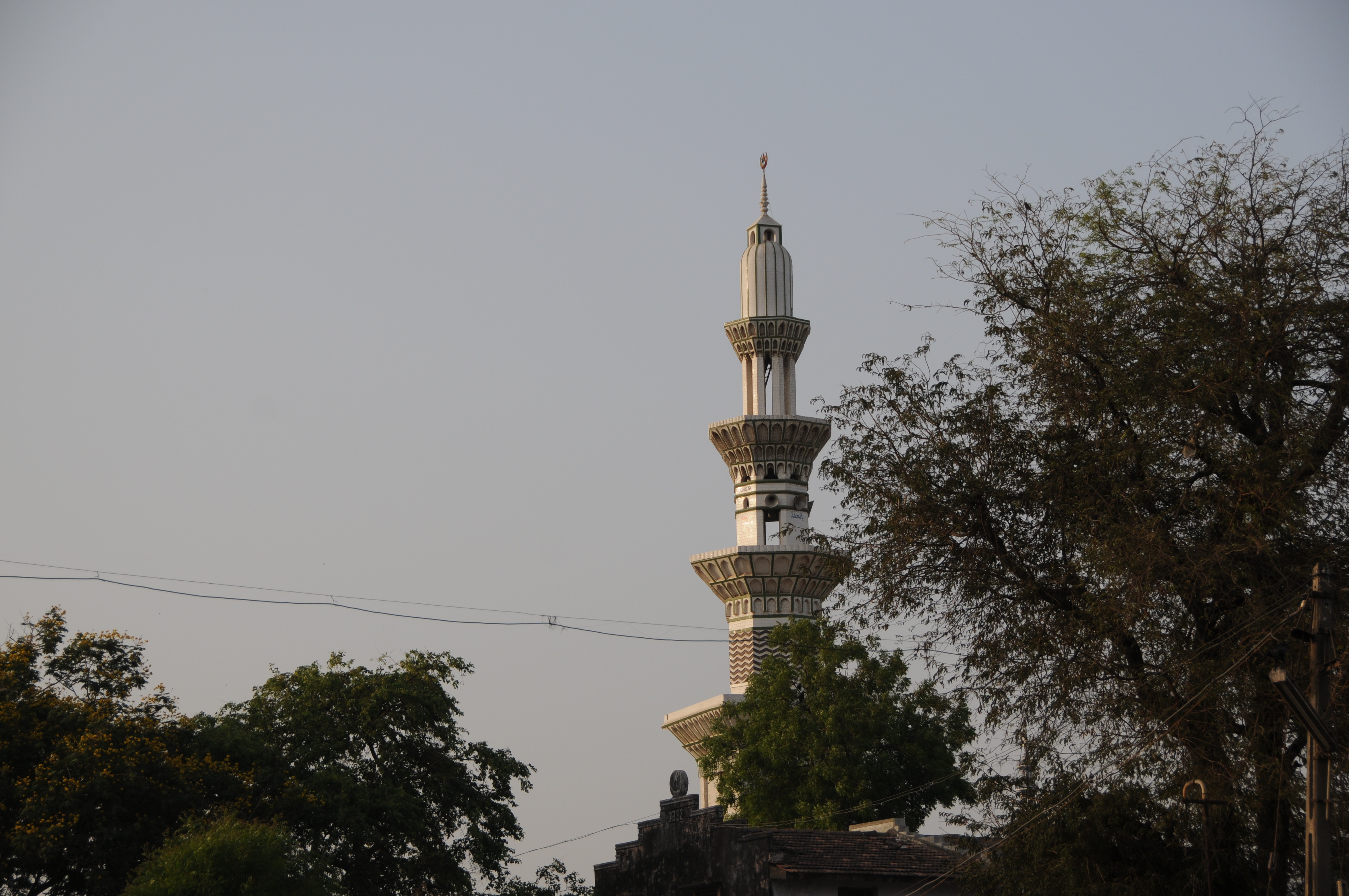
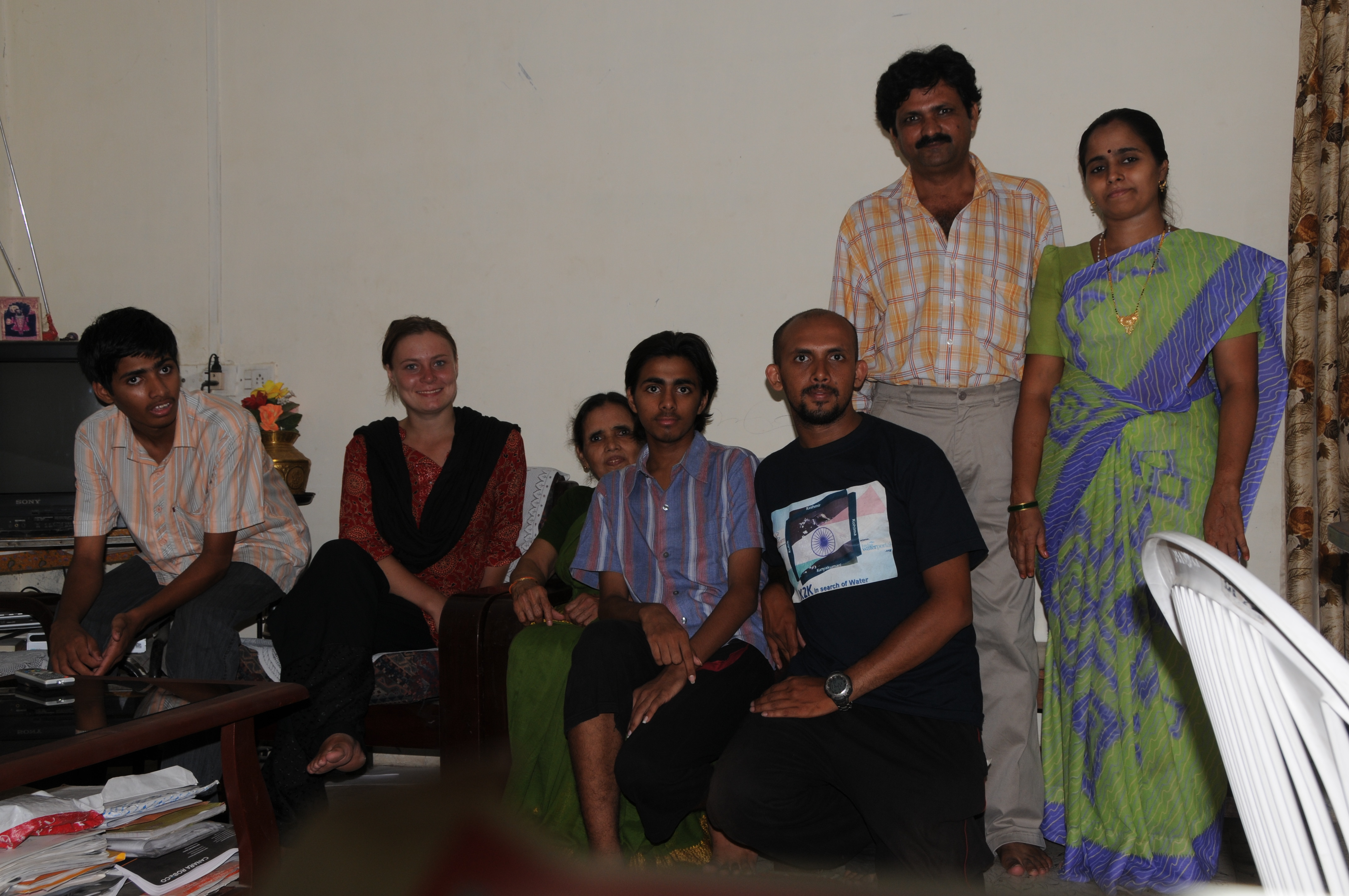
Maktampur, Gujarat
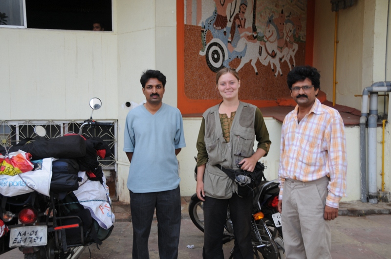
CSP_6632.JPG
CSP_6630.JPG

CSP_6633.JPG
CSP_6640.JPG
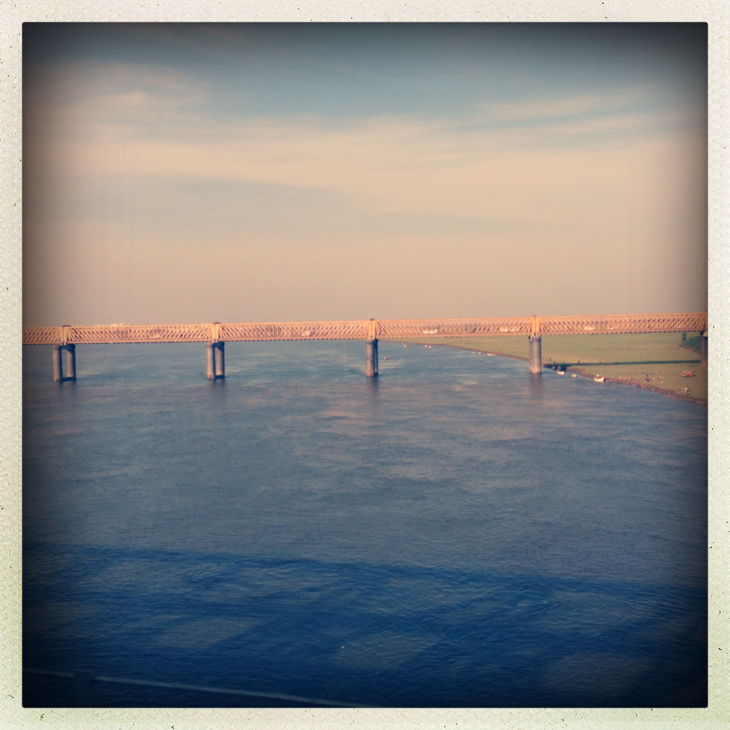
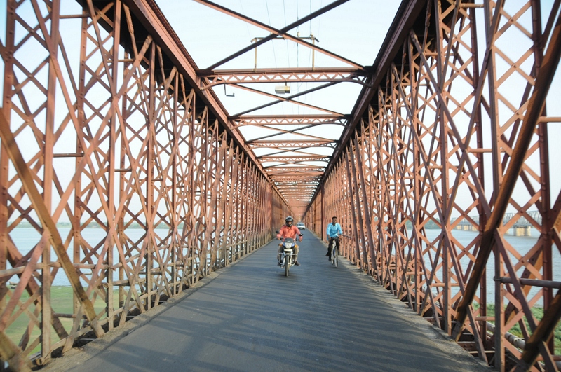
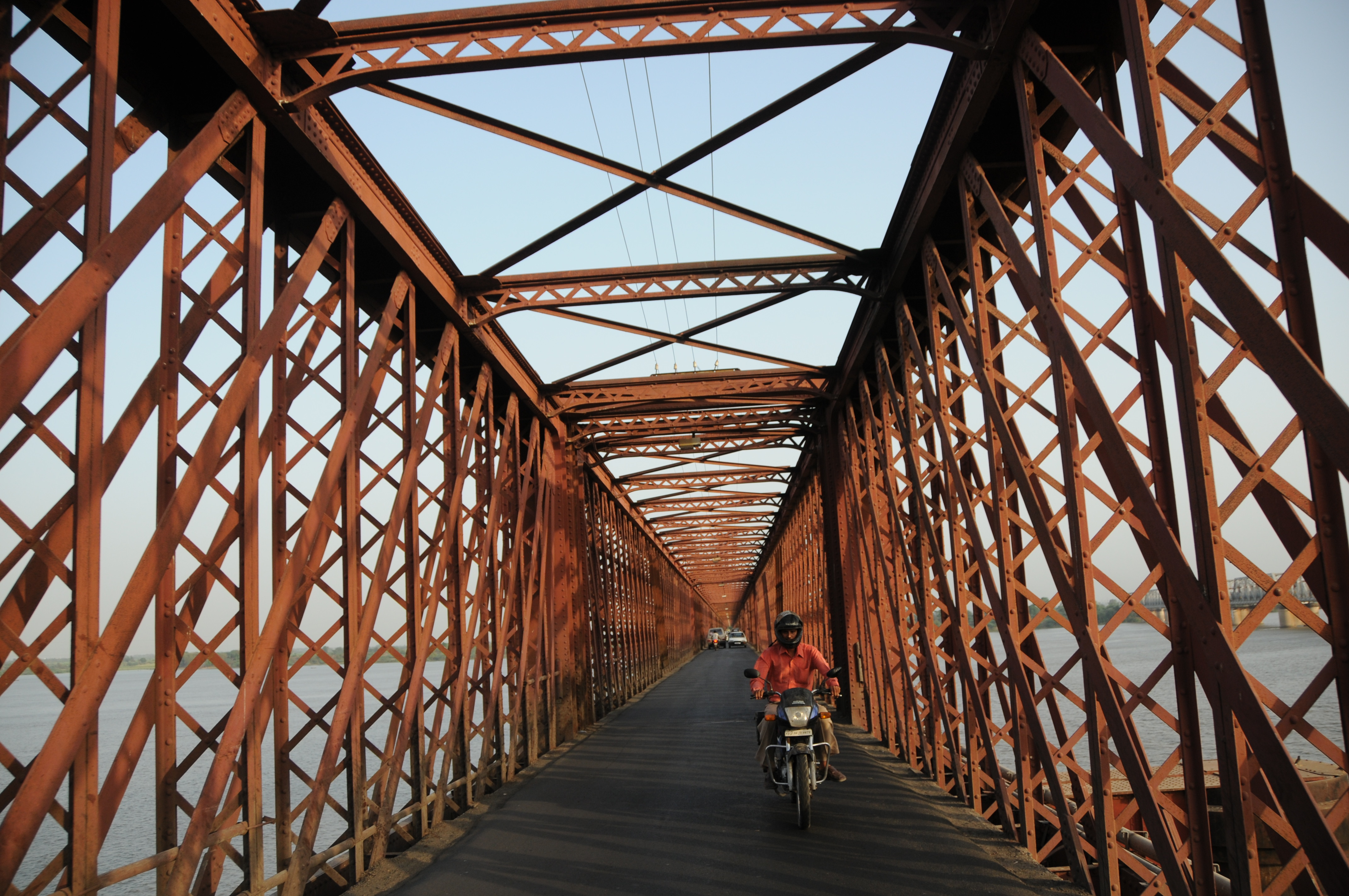
The Golden bridge
Topographic Map of Vilayat, Gujarat, India
Find elevation by address:

Places near Vilayat, Gujarat, India:
Sahera
Surat
Surat
Chatrapati Shivaji Nagar
Chatrapati Shivaji Marg
S K Nagar
Adajan Gam
Majura Gate
Dr.s.&s.s.ghandhy College Of Engineering & Technology (diploma College )
Surat
Narottam Nagar
Navagam
Rd Complex
Gawara Tower
Vasda Wad
Khambhat
Rana Chakla
Pratham Bluets
Anand
Bardoli
Recent Searches:
- Elevation of Corso Fratelli Cairoli, 35, Macerata MC, Italy
- Elevation of Tallevast Rd, Sarasota, FL, USA
- Elevation of 4th St E, Sonoma, CA, USA
- Elevation of Black Hollow Rd, Pennsdale, PA, USA
- Elevation of Oakland Ave, Williamsport, PA, USA
- Elevation of Pedrógão Grande, Portugal
- Elevation of Klee Dr, Martinsburg, WV, USA
- Elevation of Via Roma, Pieranica CR, Italy
- Elevation of Tavkvetili Mountain, Georgia
- Elevation of Hartfords Bluff Cir, Mt Pleasant, SC, USA