Elevation of Victoria, TX, USA
Location: United States > Texas > Victoria County > Victoria >
Longitude: -97.028338
Latitude: 28.9324595
Elevation: 46m / 151feet
Barometric Pressure: 101KPa
Elevation Map:
Satellite Map:
Related Photos:

Victoria County Courthouse, Victoria Texas
2016 June 12

Victoria, TX

Victoria County Courthouse

Rose, Spider, and Morning Dew
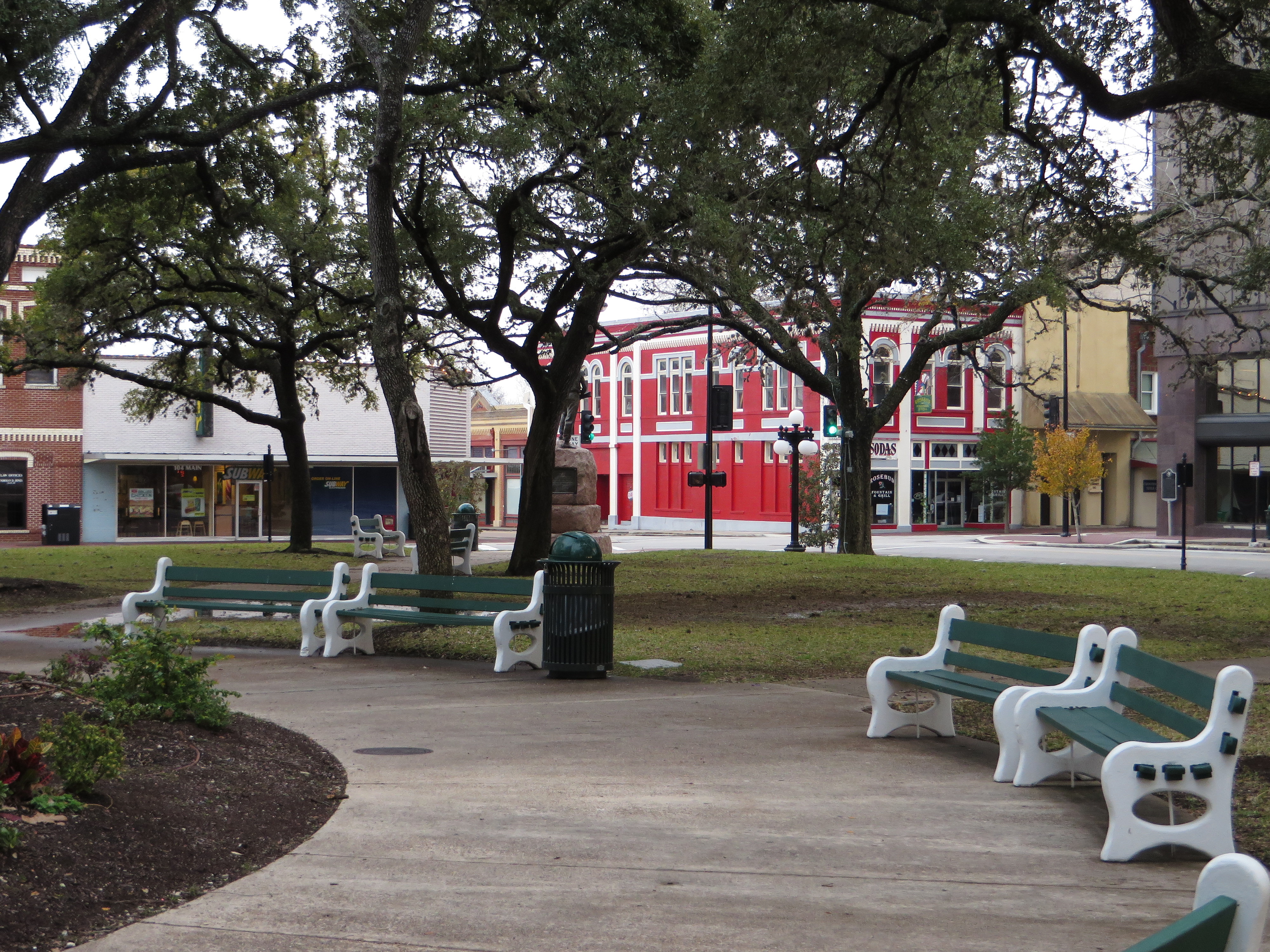
DeLeon Plaza and Bandstand, Victoria, Texas
Watching the flowers with amy

Don't see this #running in the city! #smalltowntexas #texasrunning #run #htx #htown #houston

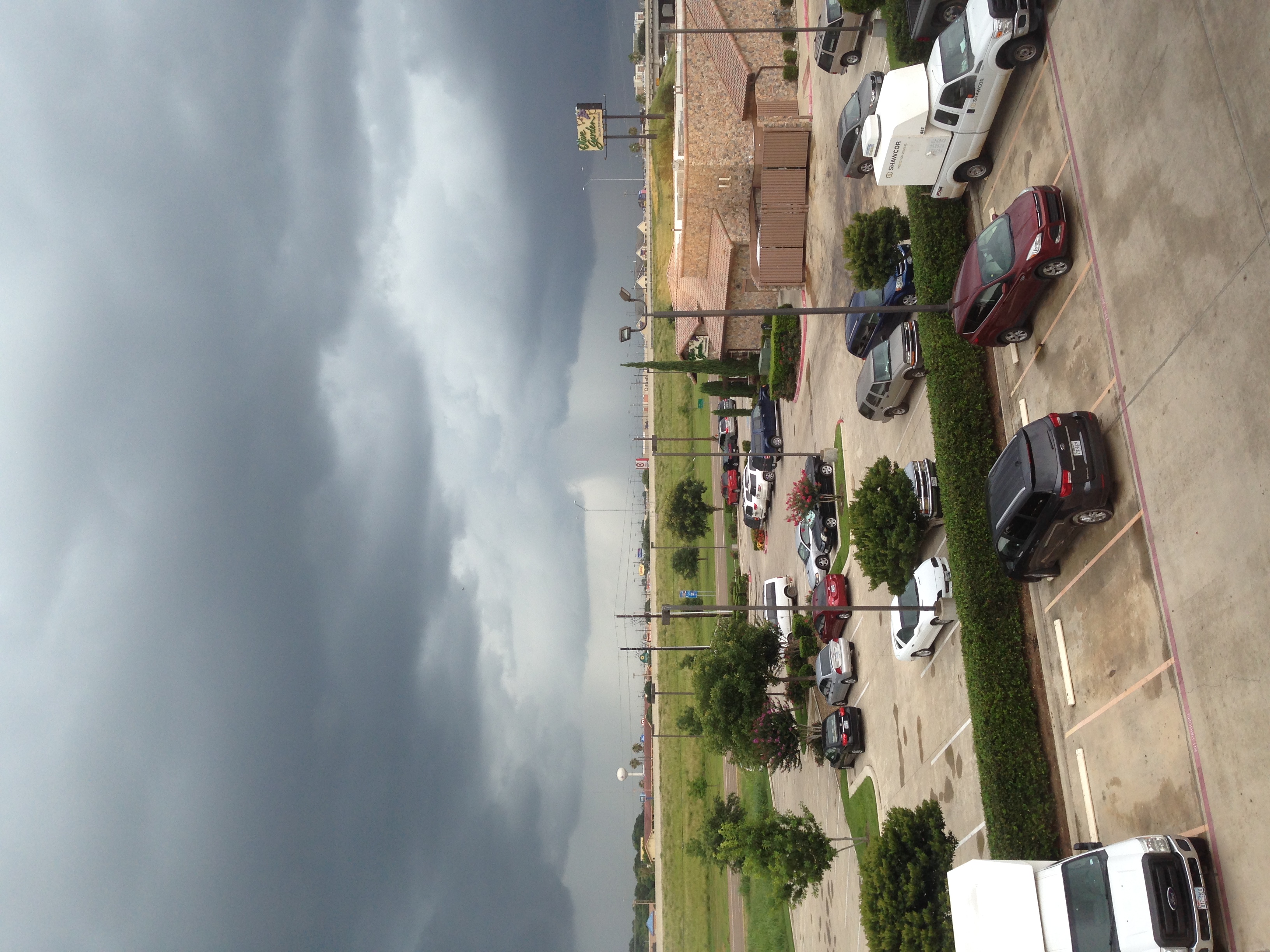
Technology Center Building on Victoria College (with Clouds)

Guadalupe River
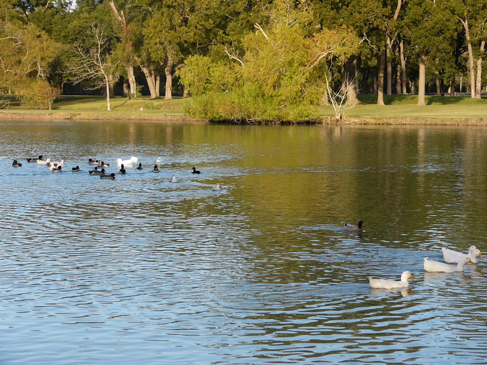
Oh Snap! The Ducks Are Gonna Rumble!

Victoria County Courthouse, Texas 20160206
Topographic Map of Victoria, TX, USA
Find elevation by address:

Places near Victoria, TX, USA:
323 Tuscany Dr
205 Tuscany Dr
513 Bridle Ln
800 Briarwood St
608 Berwick Rd
606 Berwick St
201 Arabian Dr
503 Berwick Rd
115 Appaloosa Dr
1303 Edinburgh St
1011 Northgate Rd
210 Dundee St
605 Kelly Crick Rd
1103 Simpson Rd
501 Kelly Crick Rd
207 Simpson Rd
304 Woodridge Dr
115 Creekside Dr
102 Woodhall Dr
306 Woodglenn Dr
Recent Searches:
- Elevation of Corso Fratelli Cairoli, 35, Macerata MC, Italy
- Elevation of Tallevast Rd, Sarasota, FL, USA
- Elevation of 4th St E, Sonoma, CA, USA
- Elevation of Black Hollow Rd, Pennsdale, PA, USA
- Elevation of Oakland Ave, Williamsport, PA, USA
- Elevation of Pedrógão Grande, Portugal
- Elevation of Klee Dr, Martinsburg, WV, USA
- Elevation of Via Roma, Pieranica CR, Italy
- Elevation of Tavkvetili Mountain, Georgia
- Elevation of Hartfords Bluff Cir, Mt Pleasant, SC, USA