Elevation of Via Mountain Ln, Patrick Springs, VA, USA

Location: United States > Virginia > Patrick County > Mayo River > Patrick Springs >

Longitude: -80.178439

Latitude: 36.6869522

Elevation: 485m / 1591feet

Barometric Pressure: 96KPa

Elevation Map:

elevation map of Via Mountain Ln, Patrick Springs, VA, USA

Satellite Map:

Satellite map of Via Mountain Ln, Patrick Springs, VA, USA

Related Photos:

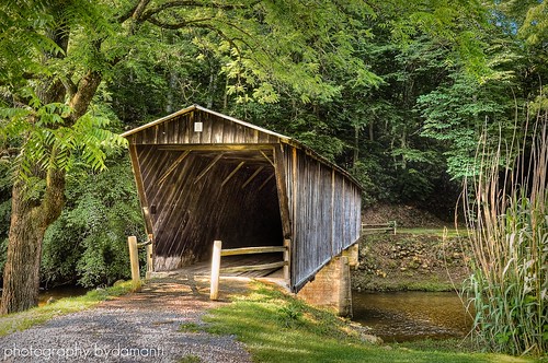
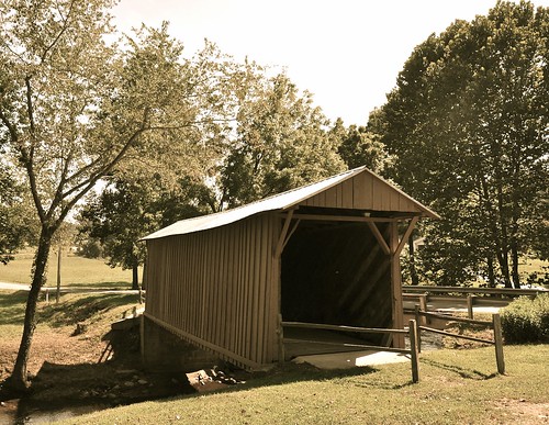
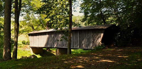
BOB WHITE BRIDGE
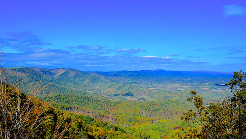
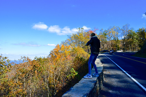
travel autumn trees sky mountains nature skyline clouds forest landscape outdoors virginia woods day afternoon outdoor air sunny aerial clear everything 2013 nosduhmj
2013.10.25.04 Patrick
Inside view
travel autumn trees sky mountains nature skyline clouds forest landscape outdoors virginia woods day afternoon cloudy outdoor air sunny aerial clear everything 2013 nosduhmj
2013.10.25.08 Patrick
atlanta clouds flight iste iste14 iste2014
View from Above
square squareformat iphoneography instagramapp uploaded:by=instagram
View from Fred never lets me down.
bridge virginia nikon bridges coveredbridge woodenbridge smithriver jackscreek patrickcounty southwestvirginia woolwine woolwinevirginia jackscreekcoveredbridge virginiacoveredbridges nikond5000 skyemarthaler uppercoveredbridge
Jack's Creek Covered Bridge, Virginia (Second View)
travel family autumn trees sky mountains nature skyline clouds forest landscape jack outdoors virginia woods day afternoon cloudy outdoor air sunny aerial clear everything 2013 nosduhmj
2013.10.25.05 Patrick
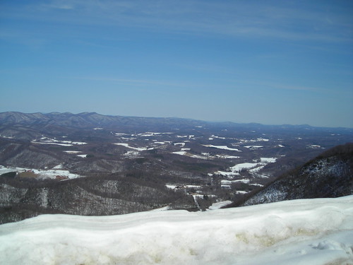
snow virginia scenic stuart lovers va leap wayside loversleap
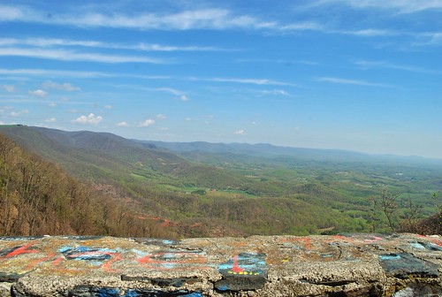
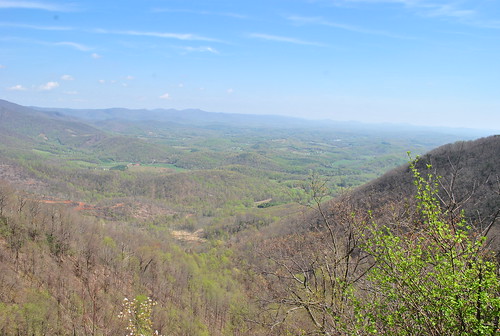
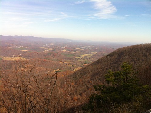
View from Lovers Leap
vacation wine weekend
Lover's Leap
patrickcounty scenicviews
Lover Leap
vacation wine weekend
Lover's Leap
patrickcounty scenicviews
Lovers Leap
scenicviews patrickcountyloversleapoverlooks
Lovers Leap
loversleap scenicoverlook route58
LOVER LEAP
loversleap scenicoverlook route58
LOVERS LEAP
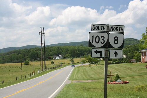
signs virginia 2010 ends va8 canonxsi va103
VA 8 North approaching VA 103
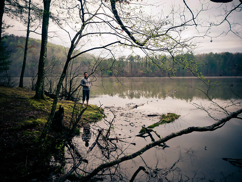
sly by the lake
bridge summer virginia nikon bridges coveredbridge woodenbridge smithriver patrickcounty southwestvirginia widezoom nationalregisterofhistoricplaces woolwine bobwhitecoveredbridge 1024mm woolwinevirginia virginiacoveredbridges nikond5000 lowercoveredbridge skyemarthaler woolwinecoveredbridge
Bob White Covered Bridge, Virginia
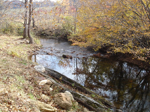
fall creek coveredbridge
Jack's Creek
square squareformat iphoneography instagramapp uploaded:by=instagram
Moss ruleth. -Fred Cifton Park.
square squareformat unknown iphoneography instagramapp uploaded:by=instagram
Lover's Leap #mountains #virginia #outdoors
2012-11-11 11.32.50.jpg
travel autumn trees sky mountains cars nature car skyline forest landscape outdoors virginia woods highway day driving afternoon outdoor air sunny aerial clear everything 2013 nosduhmj
2013.10.25.09 Patrick
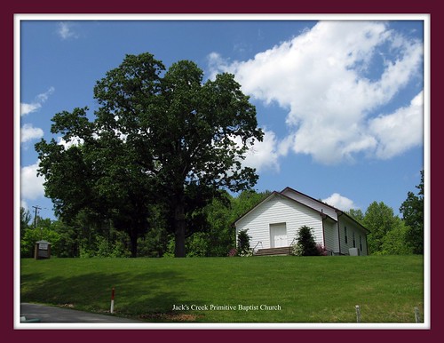
church patrickcounty
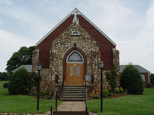
Buffalo Mountain Church
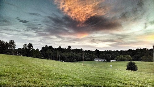
Pretty evening
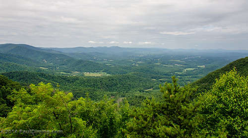
summer virginia unitedstates stuart patrickcounty wayside loversleap d7000 patrickcountyvirginia pauldiming loversleapwayside loversleapmeadowsofdan loversleapmeadowsofdanvirginia loversleappatrickcountyvirginia usroute58 usroute58virginia
Lover's Leap Wayside II - Meadows of Dan, VA
sheilaspictures
That Little Old Church
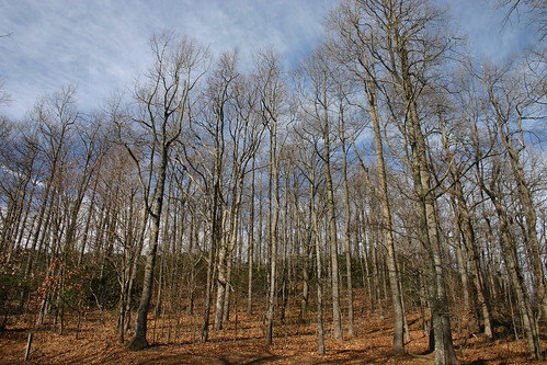
trees leaves forrest bare
Bare Trees
Storm Warning
friday
IMG_0098.JPG
clouds nikon vista blueridgeparkway loversleap nikond90 erikwillke
Where the Ground Meets the Sky (TNT - Two For One)
friday
IMG_0094.JPG
philpottlake
Waterfall, Bowen's Creek