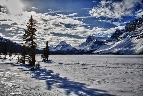
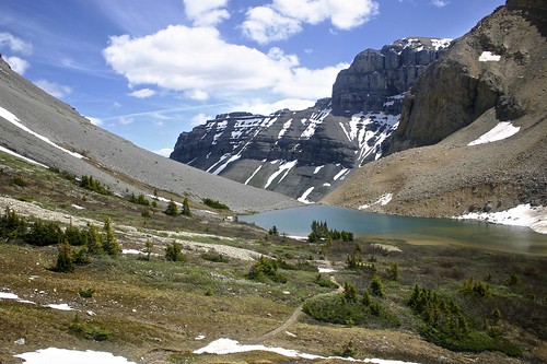
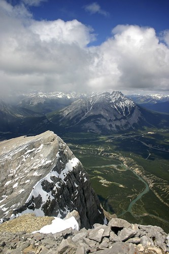
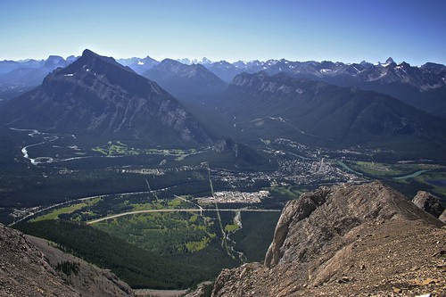
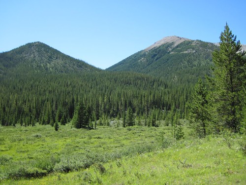
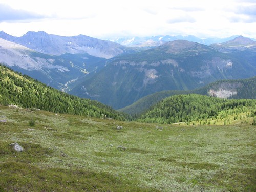
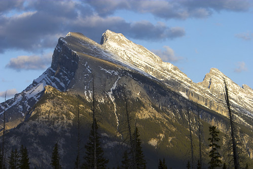
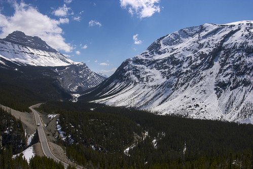
Elevation of Vermilion Range, Improvement District No. 9, AB T0L, Canada
Location: Canada > Alberta > Division No. 15 > Improvement District No. 9 >
Longitude: -115.75
Latitude: 51.5
Elevation: 2292m / 7520feet
Barometric Pressure: 77KPa
Related Photos:
Topographic Map of Vermilion Range, Improvement District No. 9, AB T0L, Canada
Find elevation by address:

Places near Vermilion Range, Improvement District No. 9, AB T0L, Canada:
Cuthead Peak
Flints Peak
Bare Range
Panther Mountain
Melanin Peak
Puma Peak
Bonnet Peak
Noetic Peak
Block Mountain
Sawback Range
Sira Peak
Banff National Park
Noetic W3
Hickson Peak
Mount Saint Bride
Barrier Mountain
Mystic Peak
Dormer Mountain
Elaphus Peak
Sira S5
Recent Searches:
- Elevation of Corso Fratelli Cairoli, 35, Macerata MC, Italy
- Elevation of Tallevast Rd, Sarasota, FL, USA
- Elevation of 4th St E, Sonoma, CA, USA
- Elevation of Black Hollow Rd, Pennsdale, PA, USA
- Elevation of Oakland Ave, Williamsport, PA, USA
- Elevation of Pedrógão Grande, Portugal
- Elevation of Klee Dr, Martinsburg, WV, USA
- Elevation of Via Roma, Pieranica CR, Italy
- Elevation of Tavkvetili Mountain, Georgia
- Elevation of Hartfords Bluff Cir, Mt Pleasant, SC, USA
