Elevation of Vaudreville, France
Location: France > Normandy > Manche >
Longitude: -1.361681
Latitude: 49.515323
Elevation: 38m / 125feet
Barometric Pressure: 101KPa
Elevation Map:
Satellite Map:
Related Photos:

Paddling - Utah Beach
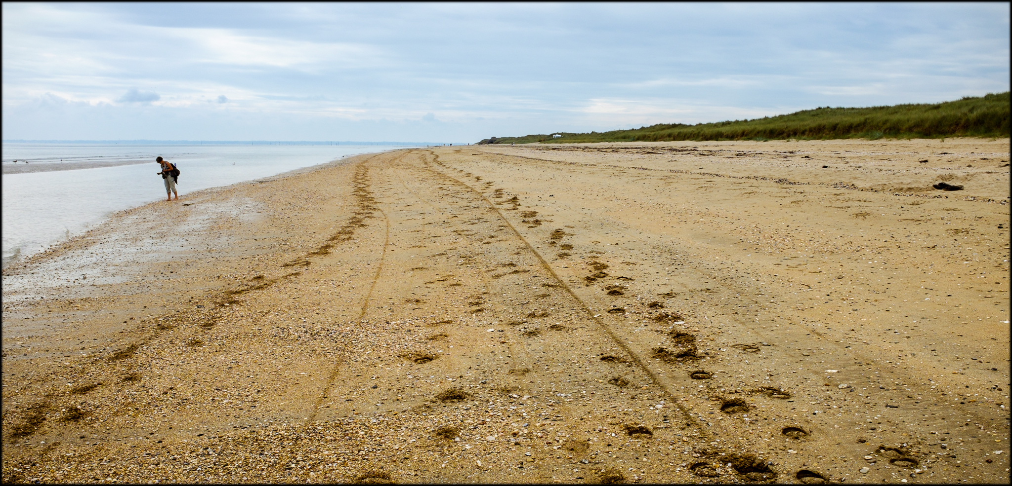
Tracks - Utah Beach
View from the Crisbecq battery (Explored)
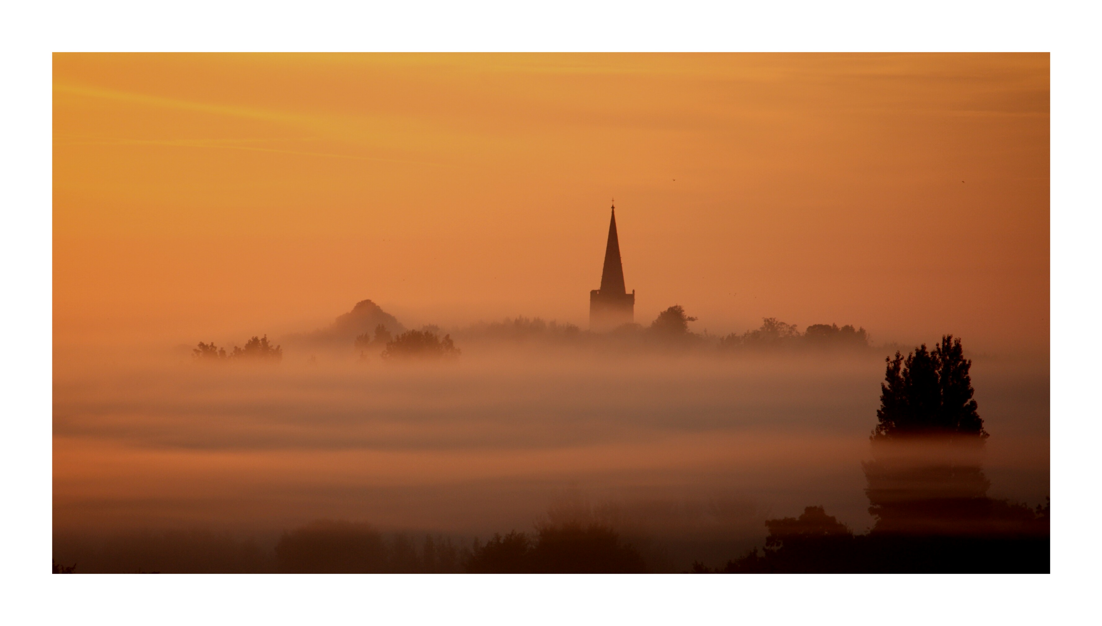
Revile Church Normandy viewed from La Pernelle
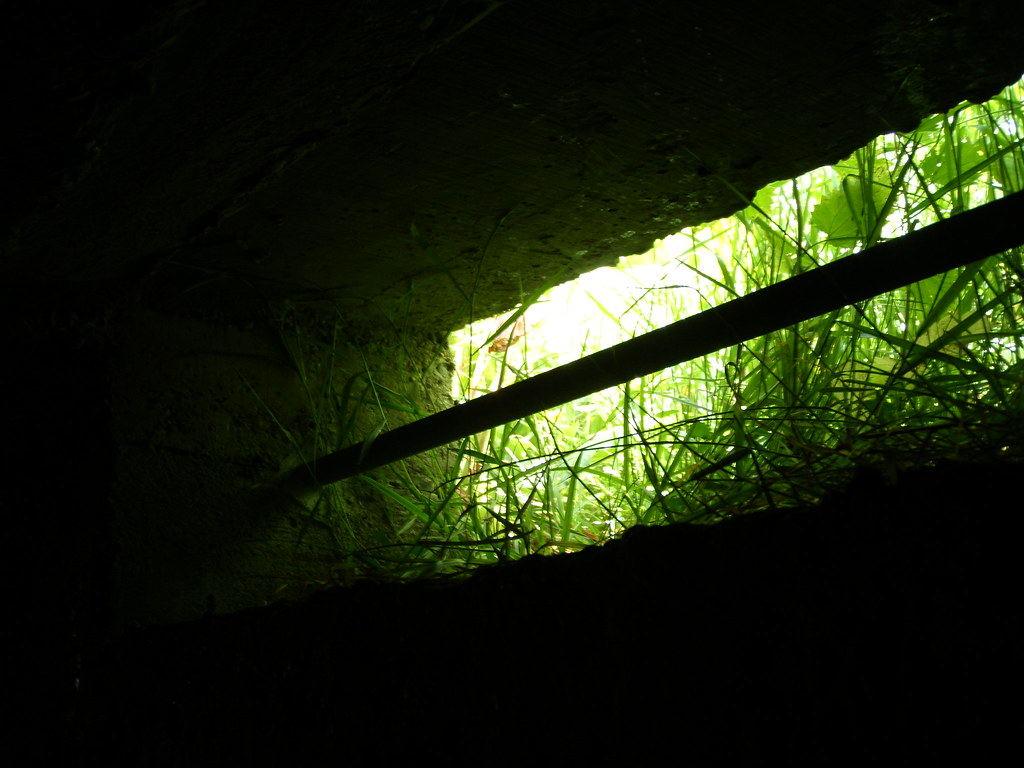
A window with a green view
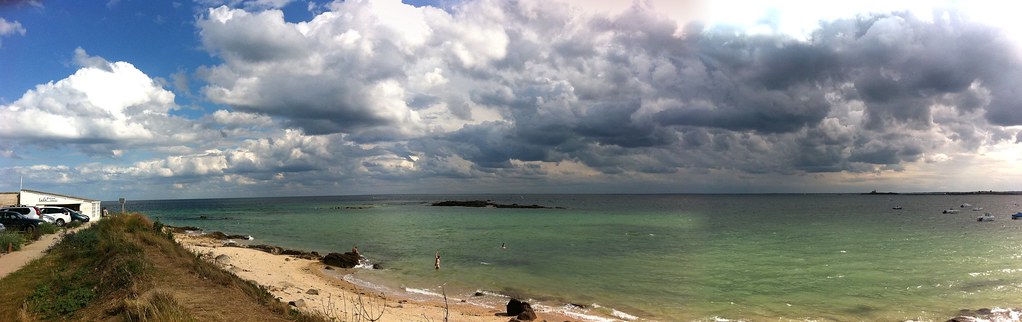
Saint Vaast la Hougue

Sainte-Mere-Eglise Paratrooper DDay Landing Site
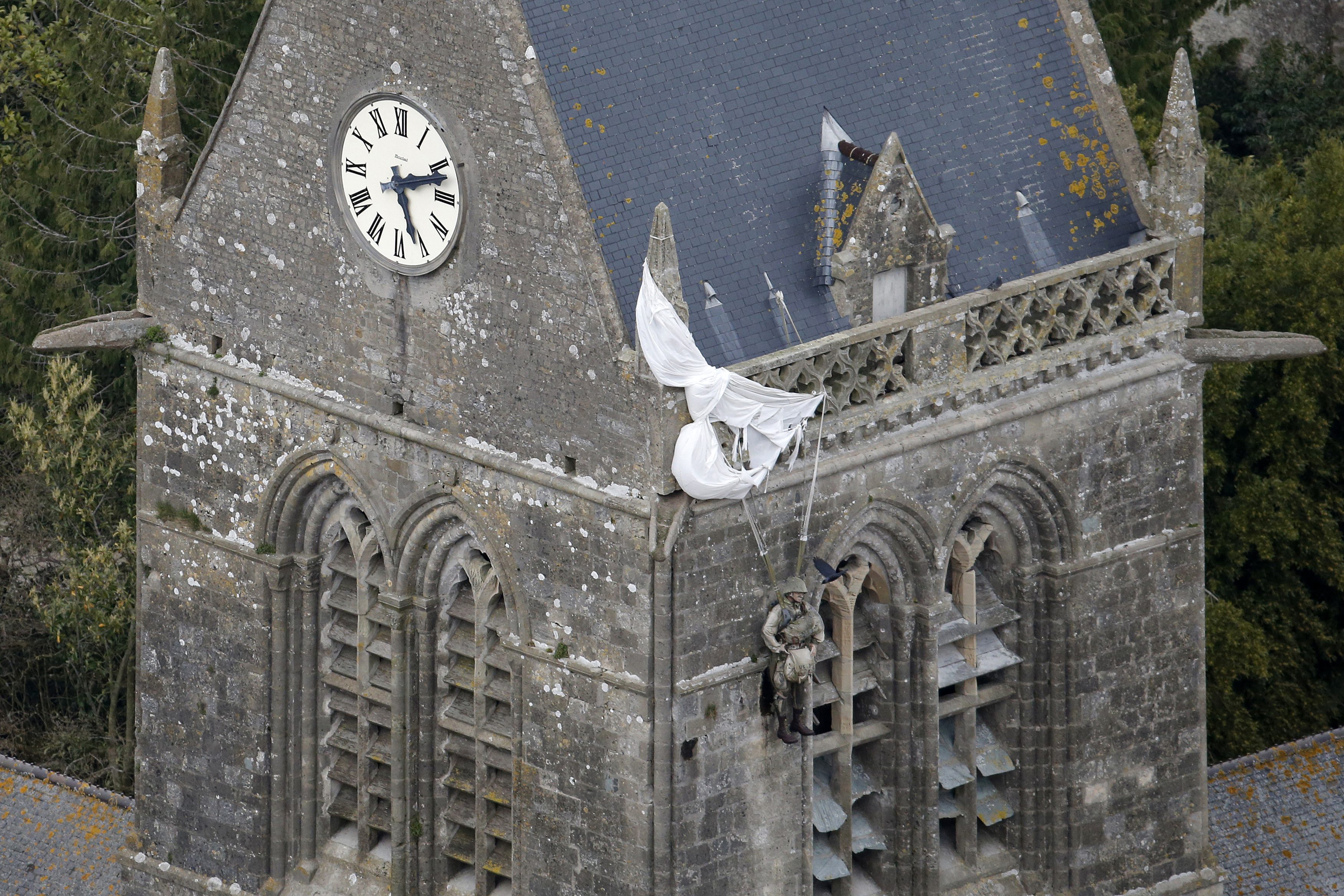
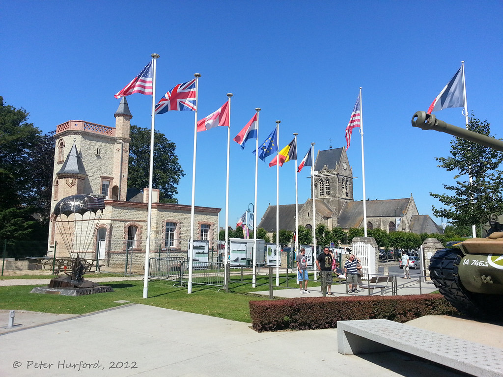
D-DAY - Sainte-Mere-Eglise
Saint Vaast la Hougue
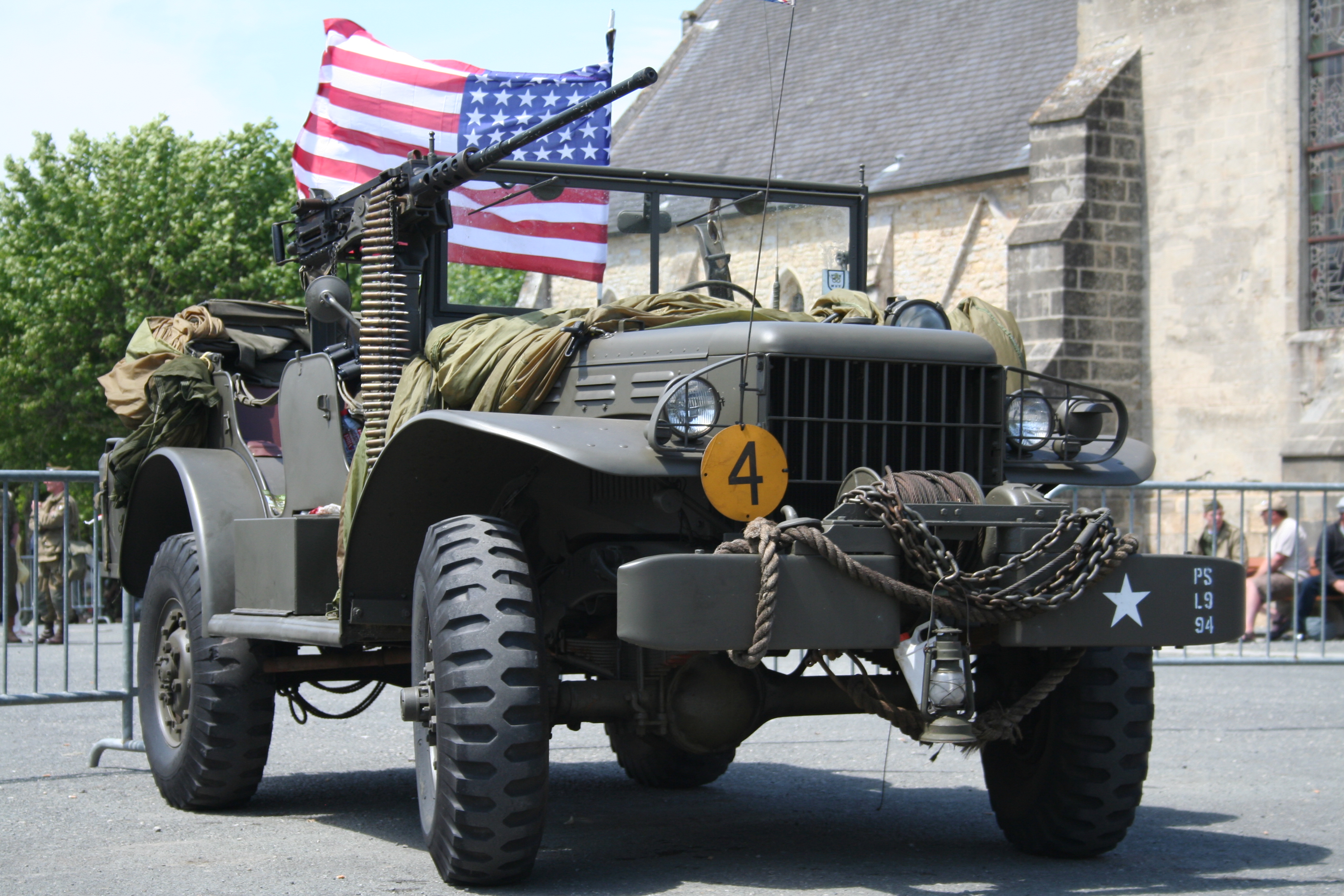
2009-06-05 165 Sainte-Mère-Église WW2 vehicle Dodge WC-57 view 2

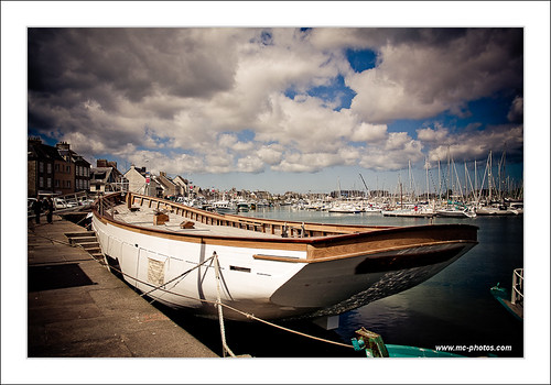
Normandy '10: Saint-Vaast-la-Hougue
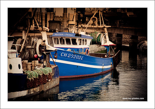
Saint Vaast la Hougue
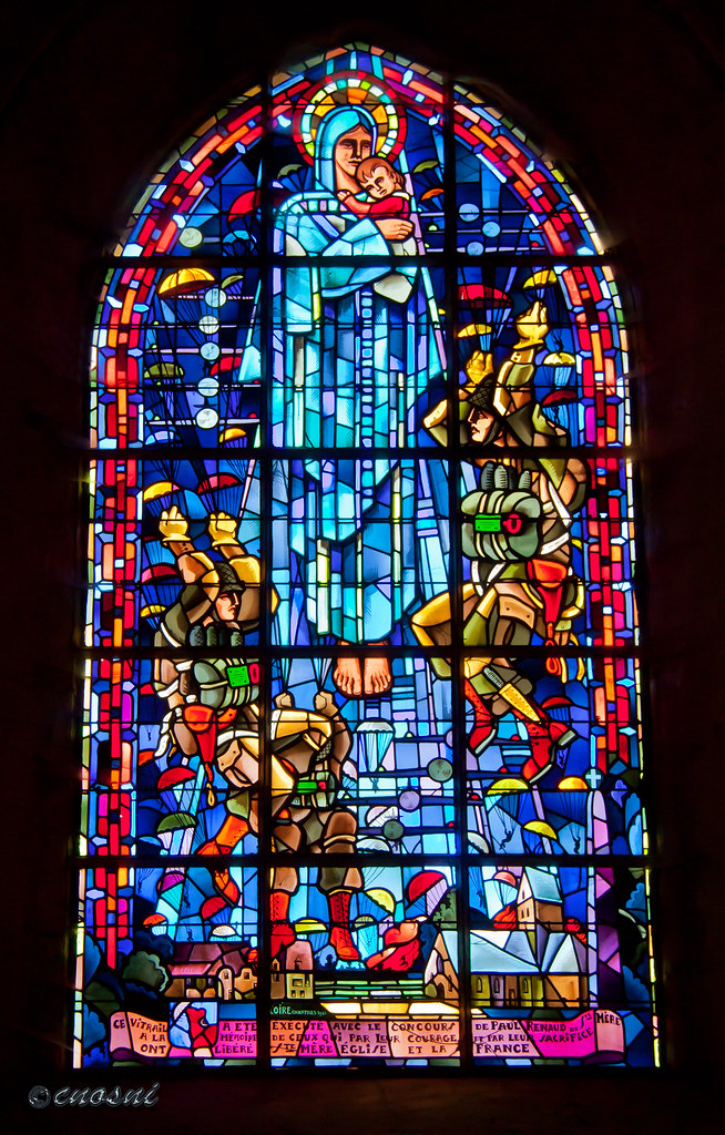
Stain Glass Window,Church of St Mary,St Mere Eglise
Saint Vaast La Hougue

Saint Vaast la Hougue
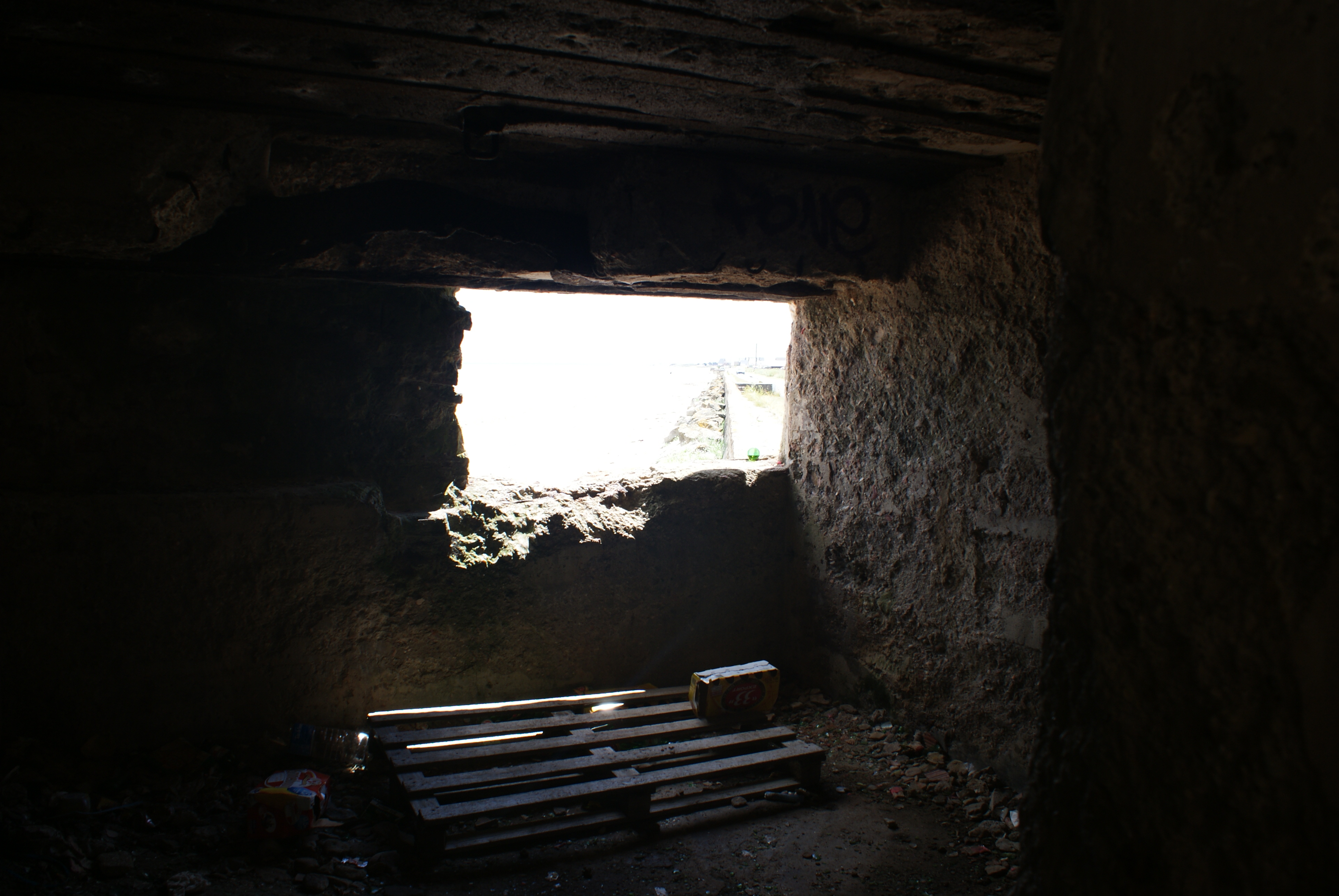
Interior of German Defensive Position on Atlantic Wall

Leclerc Memorial
Sainte-Mère-Église
Glider pilot's view
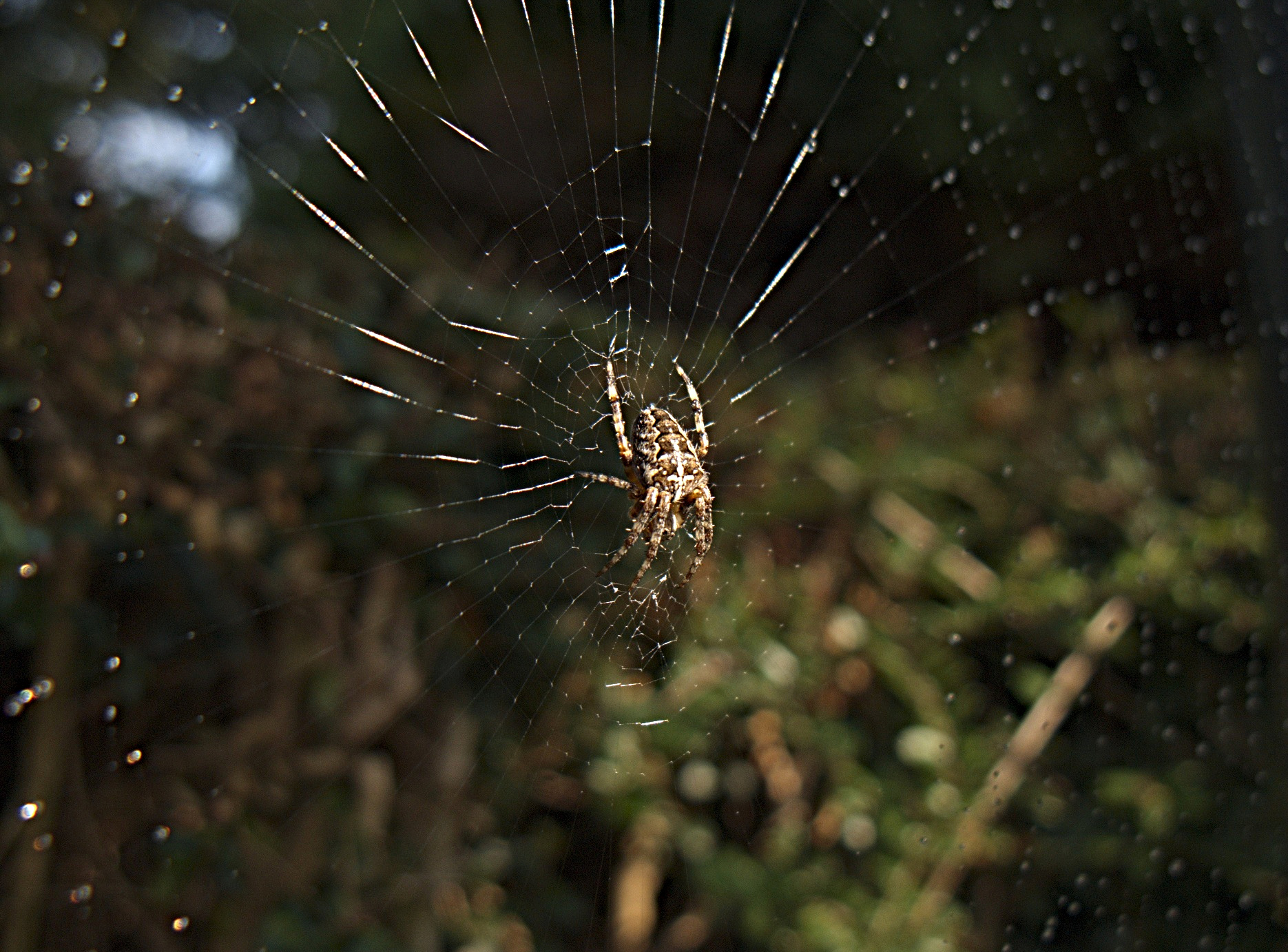
Spider - Closer View
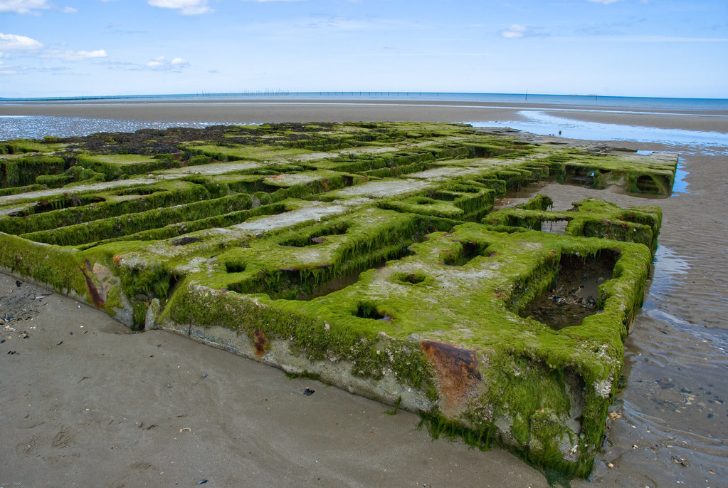
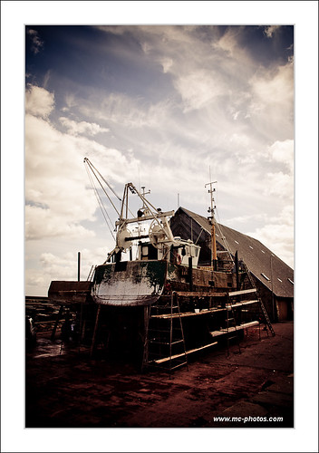
Relitto a Utah beach

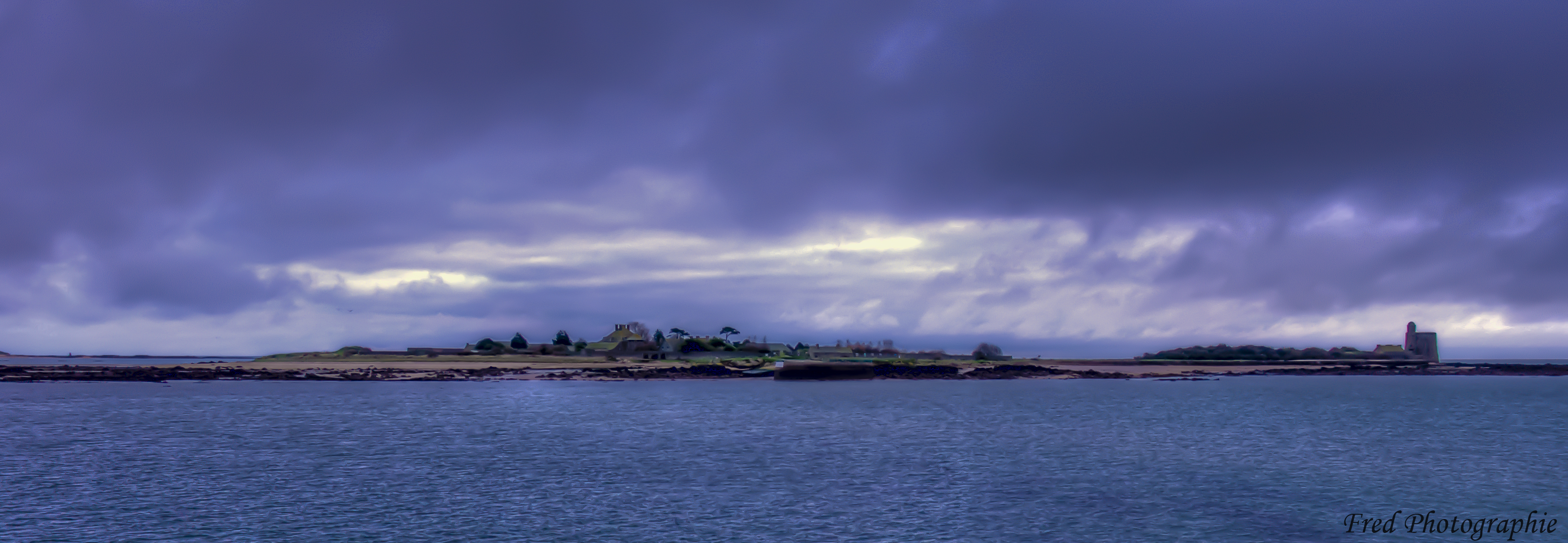
Ile Tatihou
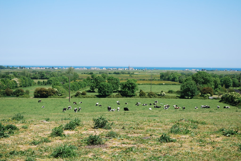
La vie rural deux

You Over There
La vie rural une

Tatihou côté terre

Normandy sunset
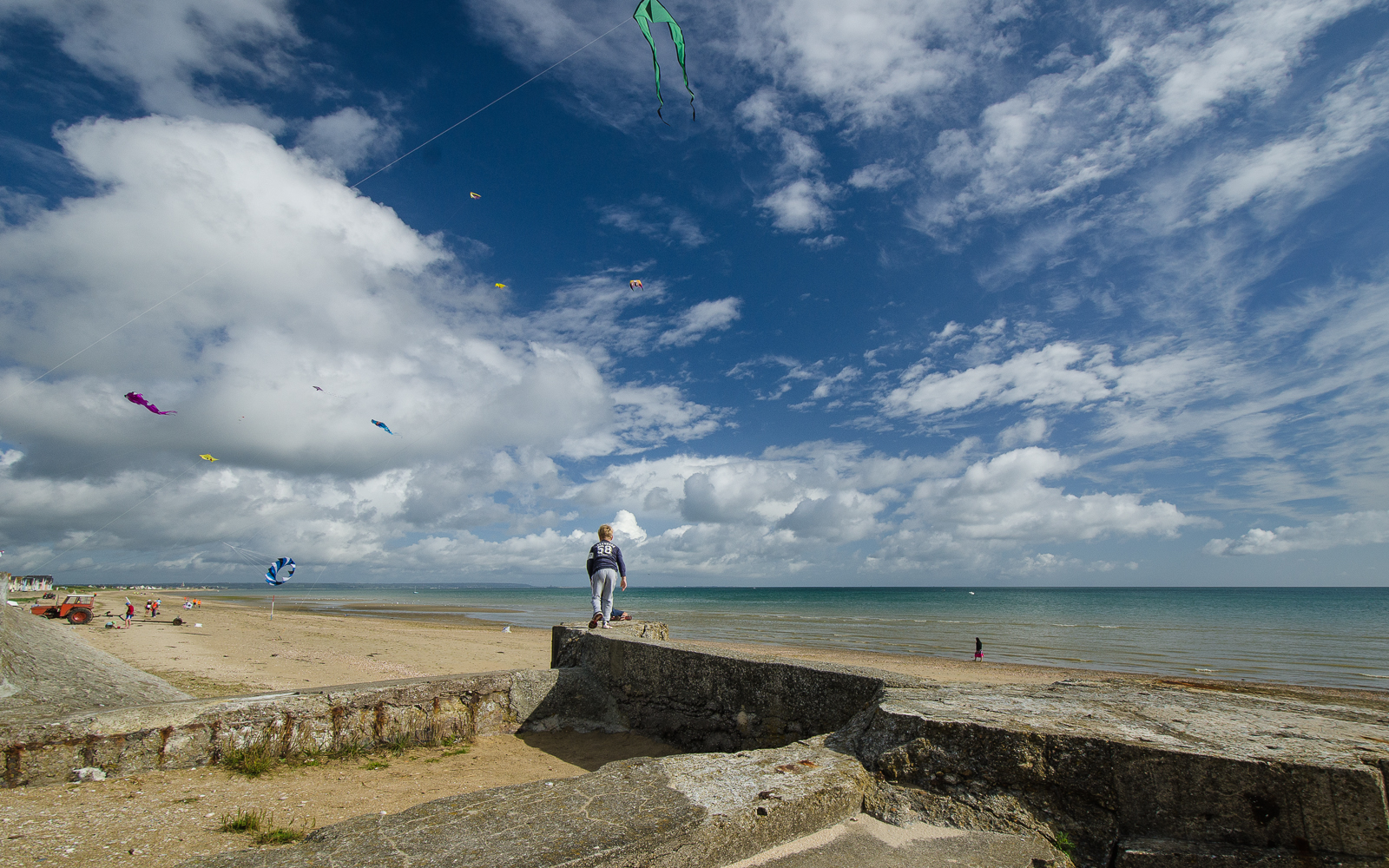
Kites and Me (Explored 2013/5/15)
Shutter Island

Marais, barques et soleil couchant...
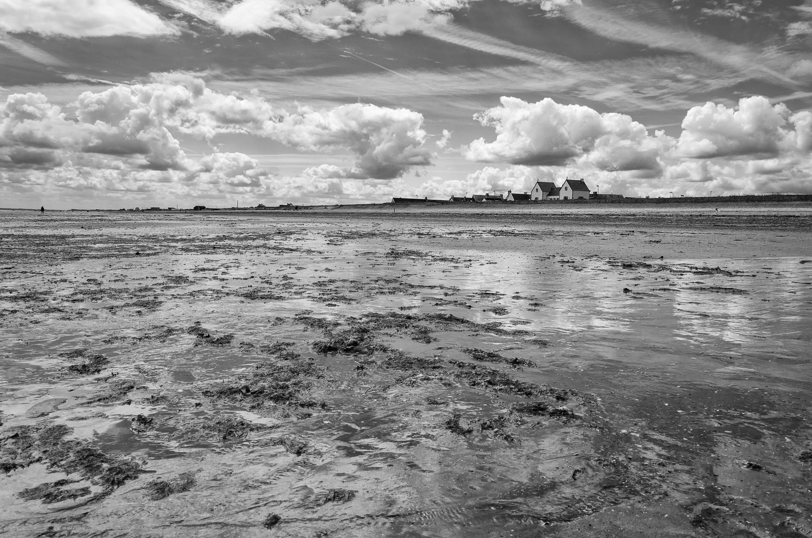
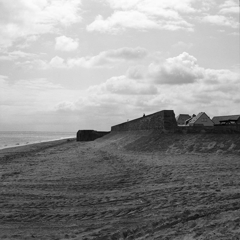
Low Tide at Ravenoville Plage

The Crisbecq battery
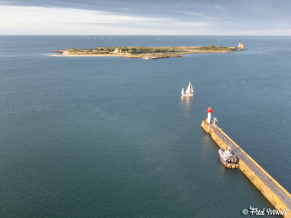
Ile Tatihou

Anse du Cul de Loup depuis Morsalines (50)
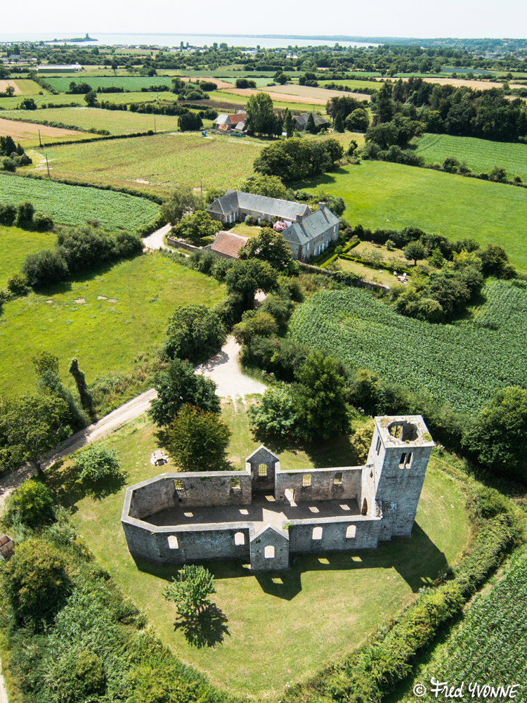
Ancienne église de Rideauville (Saint-Vaast-la-Hougue - 50)
#normandy#
La Mer / The Sea / Die See
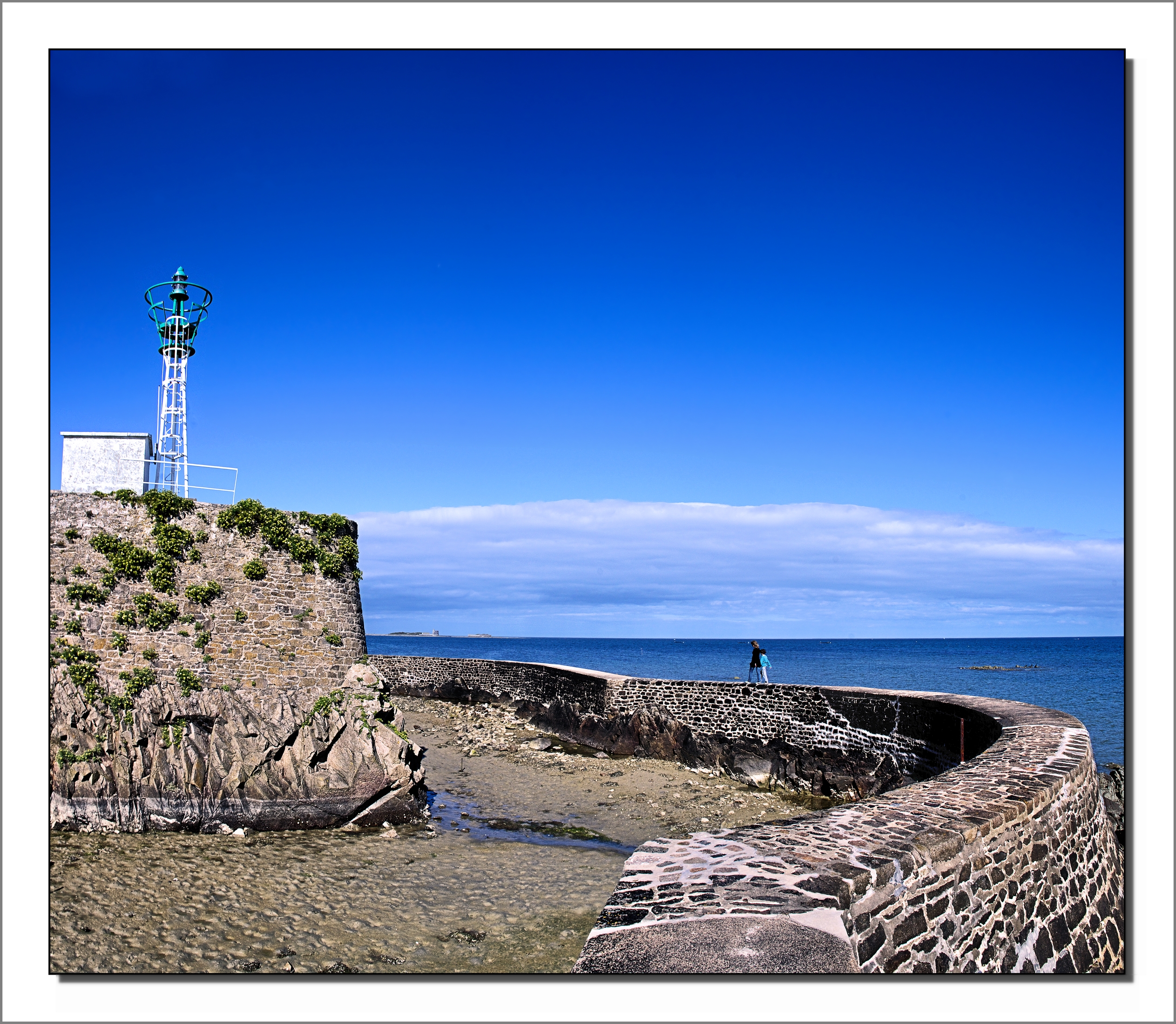
Promenade au Fort de la Hougue
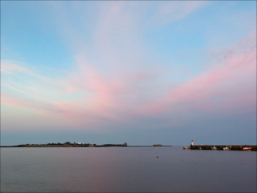
Dernières lueurs sur l'île
Normandie_14 (21)

Amour et crustacés
Topographic Map of Vaudreville, France
Find elevation by address:

Places in Vaudreville, France:
Places near Vaudreville, France:
20 Le Filbec, Saint-Martin-d'Audouville, France
Saint-floxel
9 Vierge de l'Église, Saint-Floxel, France
Lestre
1 Hameau des Renaults, Lestre, France
Émondeville
26 Hameau de l'Église, Emondeville, France
Amfreville
Sainte-mère-Église
11 Rue Général Koenig
45 Rue Général de Gaulle, Sainte-Mère-Église, France
15 Rue des Helpiquets, Amfreville, France
Picauville
16 Rue des Tilleuls, Picauville, France
Réville
13 Rue Général de Gaulle, Reville, France
24 Rue de l'Église, Varouville, France
Varouville
7 Rue de Roville, Gatteville-le-Phare, France
Gatteville-le-phare
Recent Searches:
- Elevation of Corso Fratelli Cairoli, 35, Macerata MC, Italy
- Elevation of Tallevast Rd, Sarasota, FL, USA
- Elevation of 4th St E, Sonoma, CA, USA
- Elevation of Black Hollow Rd, Pennsdale, PA, USA
- Elevation of Oakland Ave, Williamsport, PA, USA
- Elevation of Pedrógão Grande, Portugal
- Elevation of Klee Dr, Martinsburg, WV, USA
- Elevation of Via Roma, Pieranica CR, Italy
- Elevation of Tavkvetili Mountain, Georgia
- Elevation of Hartfords Bluff Cir, Mt Pleasant, SC, USA