Elevation of Vascogil, Dgo., Mexico
Location: Mexico > Durango >
Longitude: -106.38027
Latitude: 24.8961111
Elevation: 1103m / 3619feet
Barometric Pressure: 89KPa
Elevation Map:
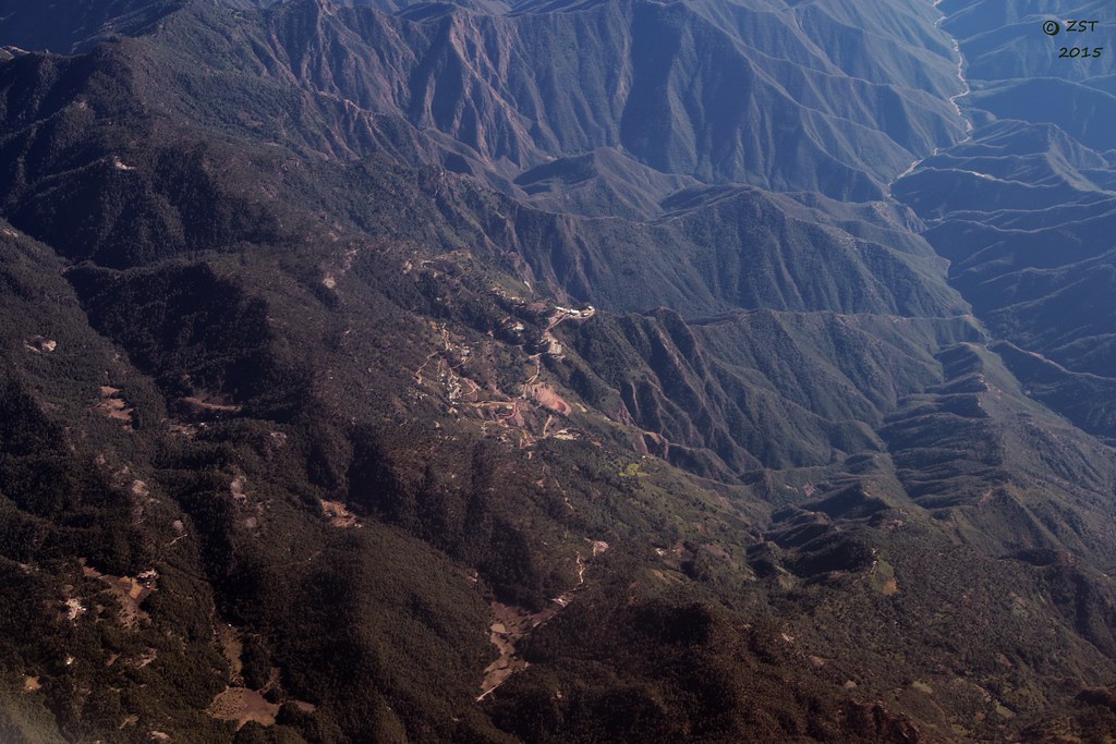
Satellite Map:
Related Photos:

Mountains Above Vasco Gil

Vasco Gil
San Miguel Papasquiaro
Topographic Map of Vascogil, Dgo., Mexico
Find elevation by address:

Places near Vascogil, Dgo., Mexico:
San Juan De Camarones
Canelas Municipality
Cosalá
Cosalá
Cosalá
Sn-s Restaurant
Guadalupe De Los Reyes
Federal Highway 15
Recent Searches:
- Elevation of Corso Fratelli Cairoli, 35, Macerata MC, Italy
- Elevation of Tallevast Rd, Sarasota, FL, USA
- Elevation of 4th St E, Sonoma, CA, USA
- Elevation of Black Hollow Rd, Pennsdale, PA, USA
- Elevation of Oakland Ave, Williamsport, PA, USA
- Elevation of Pedrógão Grande, Portugal
- Elevation of Klee Dr, Martinsburg, WV, USA
- Elevation of Via Roma, Pieranica CR, Italy
- Elevation of Tavkvetili Mountain, Georgia
- Elevation of Hartfords Bluff Cir, Mt Pleasant, SC, USA