Elevation of Varsoli koli, Maharashtra, India
Location: India > Maharashtra > Satara >
Longitude: 73.7551405
Latitude: 17.8063473
Elevation: 1100m / 3609feet
Barometric Pressure: 89KPa
Elevation Map:
Satellite Map:
Related Photos:

View of the Krishna River seen from Mahabaleshwar, India

@ Mahabaleshwar, Maharashtra

VIew from Table Land, Panchgani

Parsi Point Panorama

@ Mahabaleshwar, Maharashtra

A distant view of LIngmala Waterfalls, Mahabaleshwar

... view from Lingmala Falls
View from Tableland, Panchgani

Venna valley viewed from Lingmala Falls

Kate's Point viewed from Needle Hole Point

... view from Parsi Point

Morning view of the lake at Bamnoli

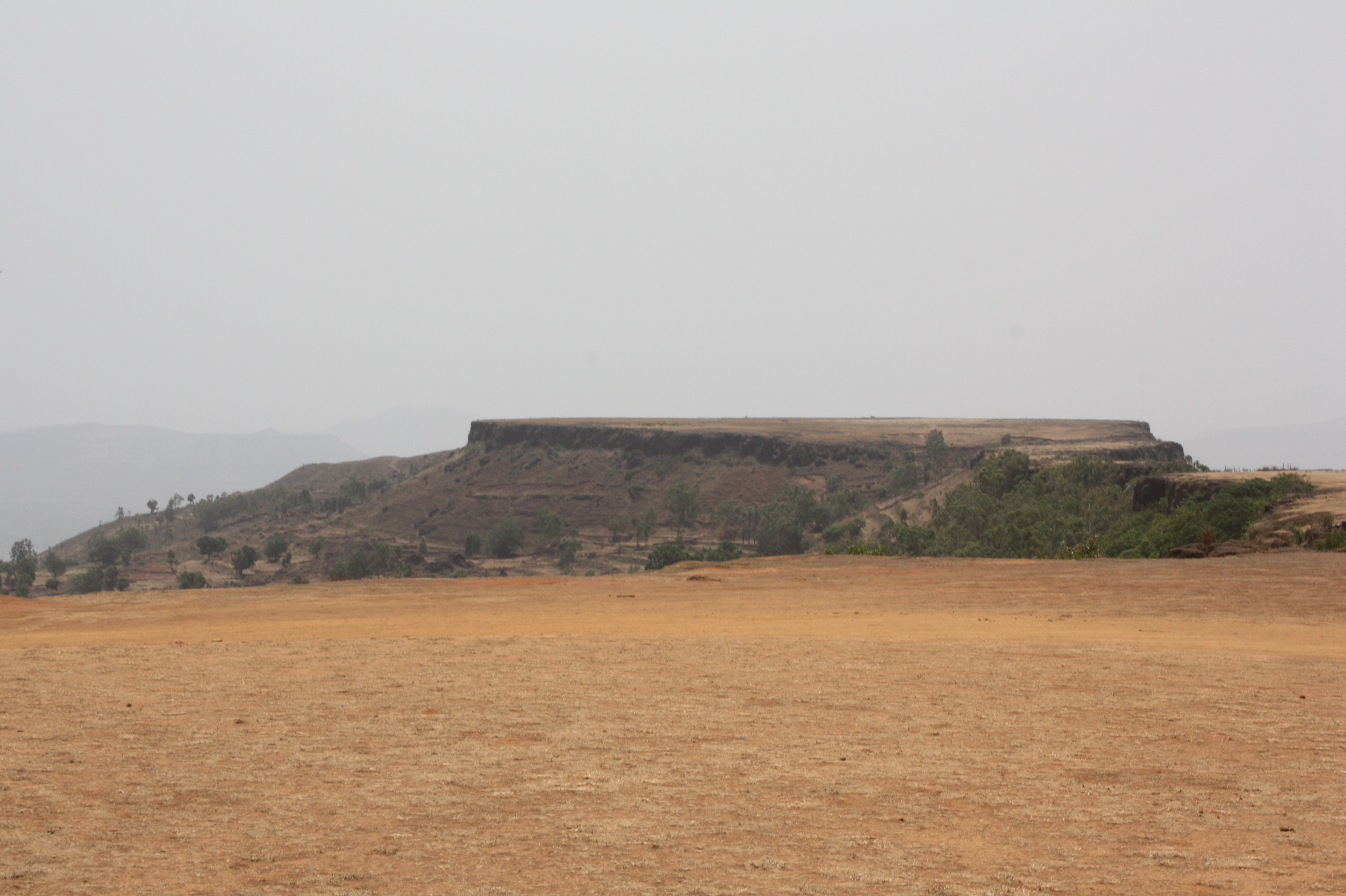
View from Tableland, Panchgani

View from Tableland, Panchgani
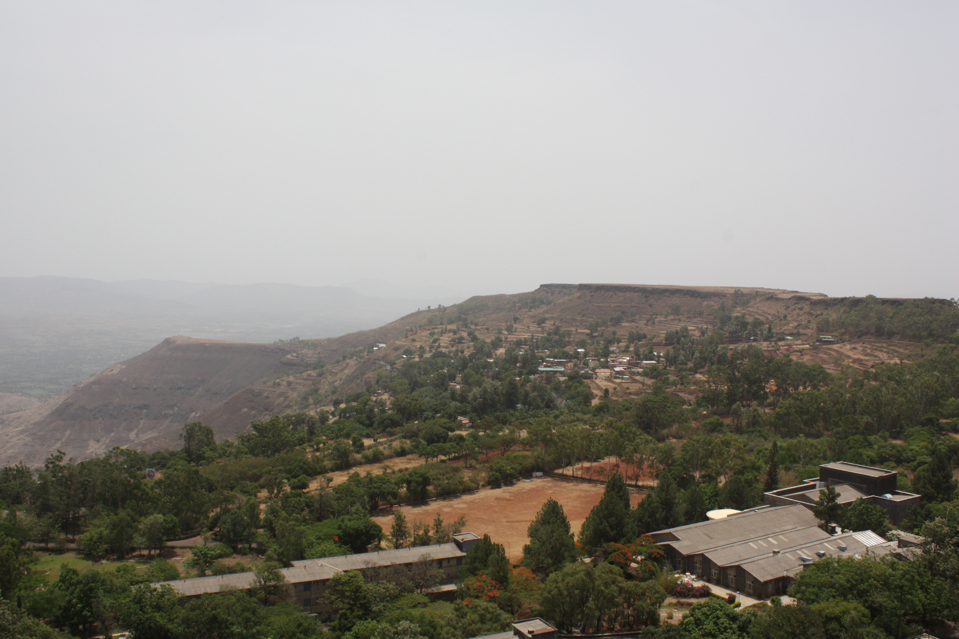
View from Tableland, Panchgani

View from Tableland, Panchgani

View from Tableland, Panchgani

View from Tableland, Panchgani

View from Tableland, Panchgani

View from Tableland, Panchgani

View from Tableland, Panchgani

Lonely tree in the gloomy weather

Beyond Scenic

Mahabaleshwar | Lingmala waterfalls

Field of Colors

Vasota ... from Koyna Backwaters

Single Tree in midst of flowers
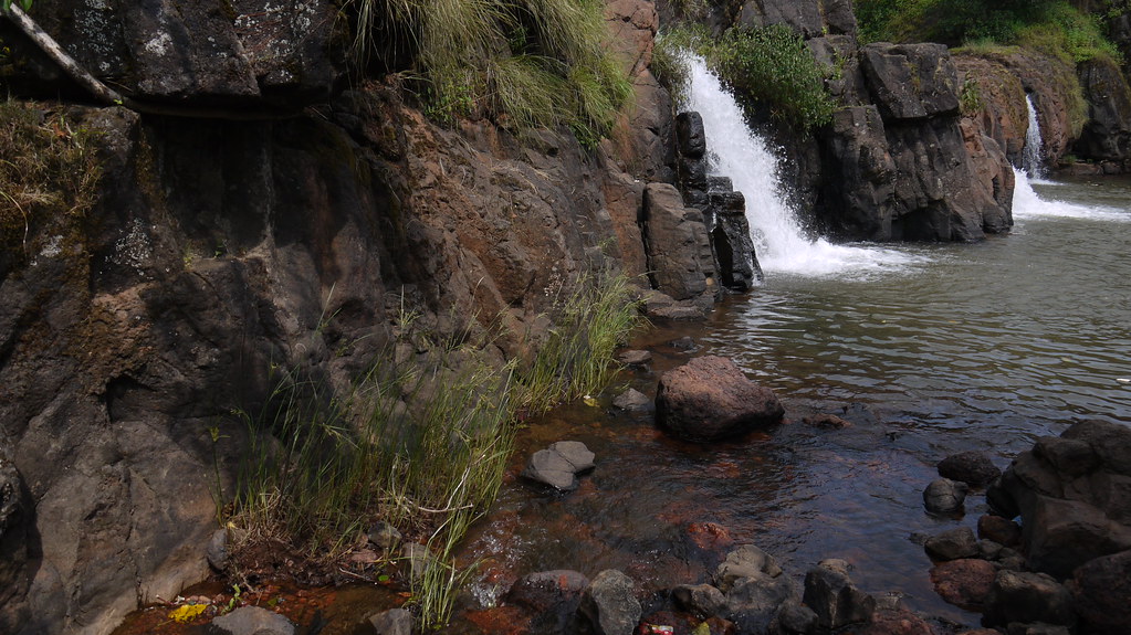
Lingmala Falls Doh

... Koyna Backwaters

Purple Blooms among Greens

Mapro Garden, Panchgani-Mahabaleshwar Road, Maharashtra
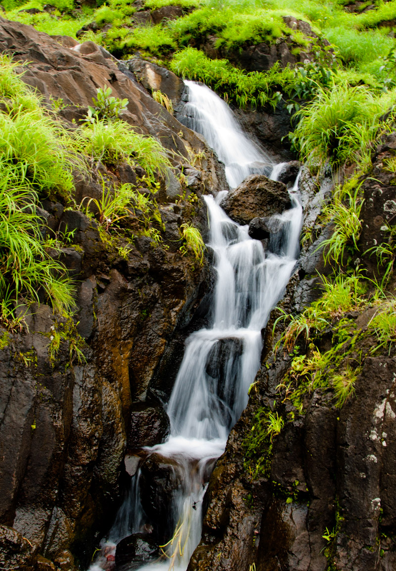
Waterfall near Pahchgani

Mapro Garden, Panchgani-Mahabaleshwar Road, Maharashtra

Mapro Garden, Panchgani-Mahabaleshwar Road, Maharashtra

Panchgani Hills, from Wai-Panchgani Road, Maharashtra

Panchgani Hills, from Wai-Panchgani Road, Maharashtra
Topographic Map of Varsoli koli, Maharashtra, India
Find elevation by address:

Places near Varsoli koli, Maharashtra, India:
Lakhwad
Rameghar
Vengale
Kuroshi
Khambil Chorge
Tapola
Khambil Pokale
Vanavli T. Solasi
Mahabaleshwar Agro Village
Soundari
Velapur
Sonat
Majarewadi
Sayghar
Kotroshi
Rengadi
Kusumbi
Kedambe
Moleshwar
Vatambe
Recent Searches:
- Elevation of Corso Fratelli Cairoli, 35, Macerata MC, Italy
- Elevation of Tallevast Rd, Sarasota, FL, USA
- Elevation of 4th St E, Sonoma, CA, USA
- Elevation of Black Hollow Rd, Pennsdale, PA, USA
- Elevation of Oakland Ave, Williamsport, PA, USA
- Elevation of Pedrógão Grande, Portugal
- Elevation of Klee Dr, Martinsburg, WV, USA
- Elevation of Via Roma, Pieranica CR, Italy
- Elevation of Tavkvetili Mountain, Georgia
- Elevation of Hartfords Bluff Cir, Mt Pleasant, SC, USA