Elevation of Vardhangad, Maharashtra, India
Location: India > Maharashtra > Satara >
Longitude: 74.2678169
Latitude: 17.7211212
Elevation: 864m / 2835feet
Barometric Pressure: 91KPa
Elevation Map:
Satellite Map:
Related Photos:
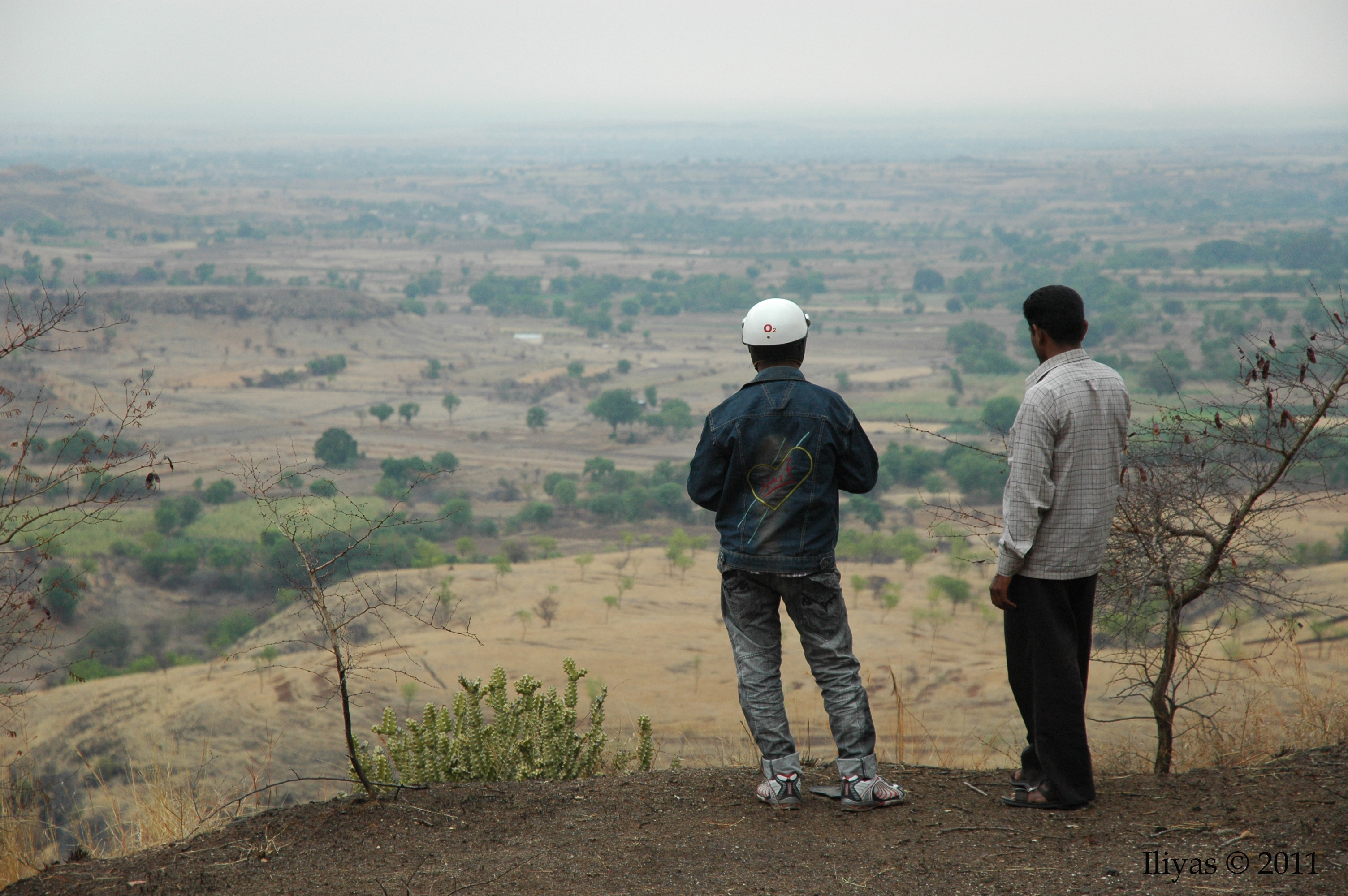
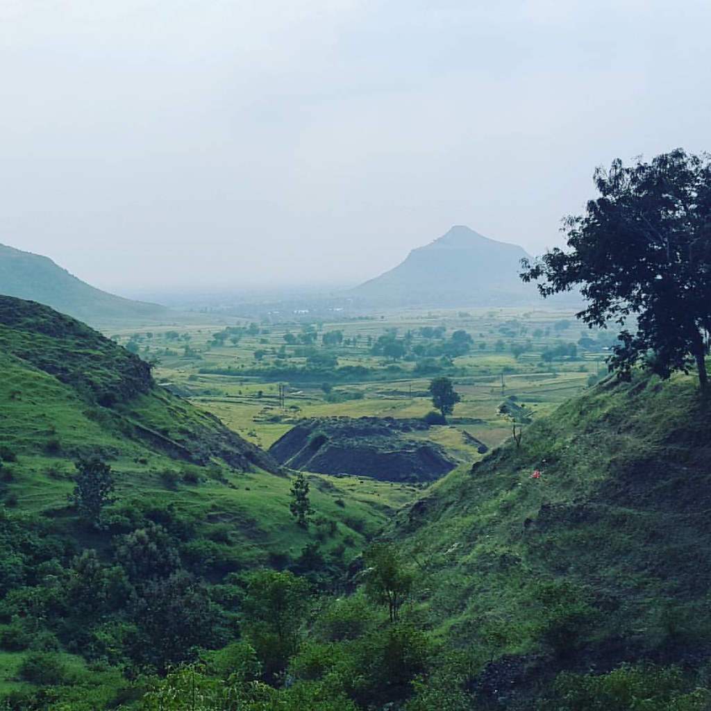
Valley View

Near cane farming

With my inlaw's farm
Drive to our farms

Cane farming
Topographic Map of Vardhangad, Maharashtra, India
Find elevation by address:

Places near Vardhangad, Maharashtra, India:
Ner
Pusegaon
Revalkarwadi
Khirkhindi
Khatgun
Katgun
Bhandewadi
Jakhangaon
Shirambe
Katewadi
Nigadi
Ransingwadi
Khatav
Ambheri
Kokarale
Dharpudi
Katalgewadi
Bhosare
Nidhal
Daruj
Recent Searches:
- Elevation of Corso Fratelli Cairoli, 35, Macerata MC, Italy
- Elevation of Tallevast Rd, Sarasota, FL, USA
- Elevation of 4th St E, Sonoma, CA, USA
- Elevation of Black Hollow Rd, Pennsdale, PA, USA
- Elevation of Oakland Ave, Williamsport, PA, USA
- Elevation of Pedrógão Grande, Portugal
- Elevation of Klee Dr, Martinsburg, WV, USA
- Elevation of Via Roma, Pieranica CR, Italy
- Elevation of Tavkvetili Mountain, Georgia
- Elevation of Hartfords Bluff Cir, Mt Pleasant, SC, USA