Elevation of Valliyur, Tamil Nadu, India
Longitude: 77.6174483
Latitude: 8.401361
Elevation: 114m / 374feet
Barometric Pressure: 100KPa
Elevation Map:
Satellite Map:
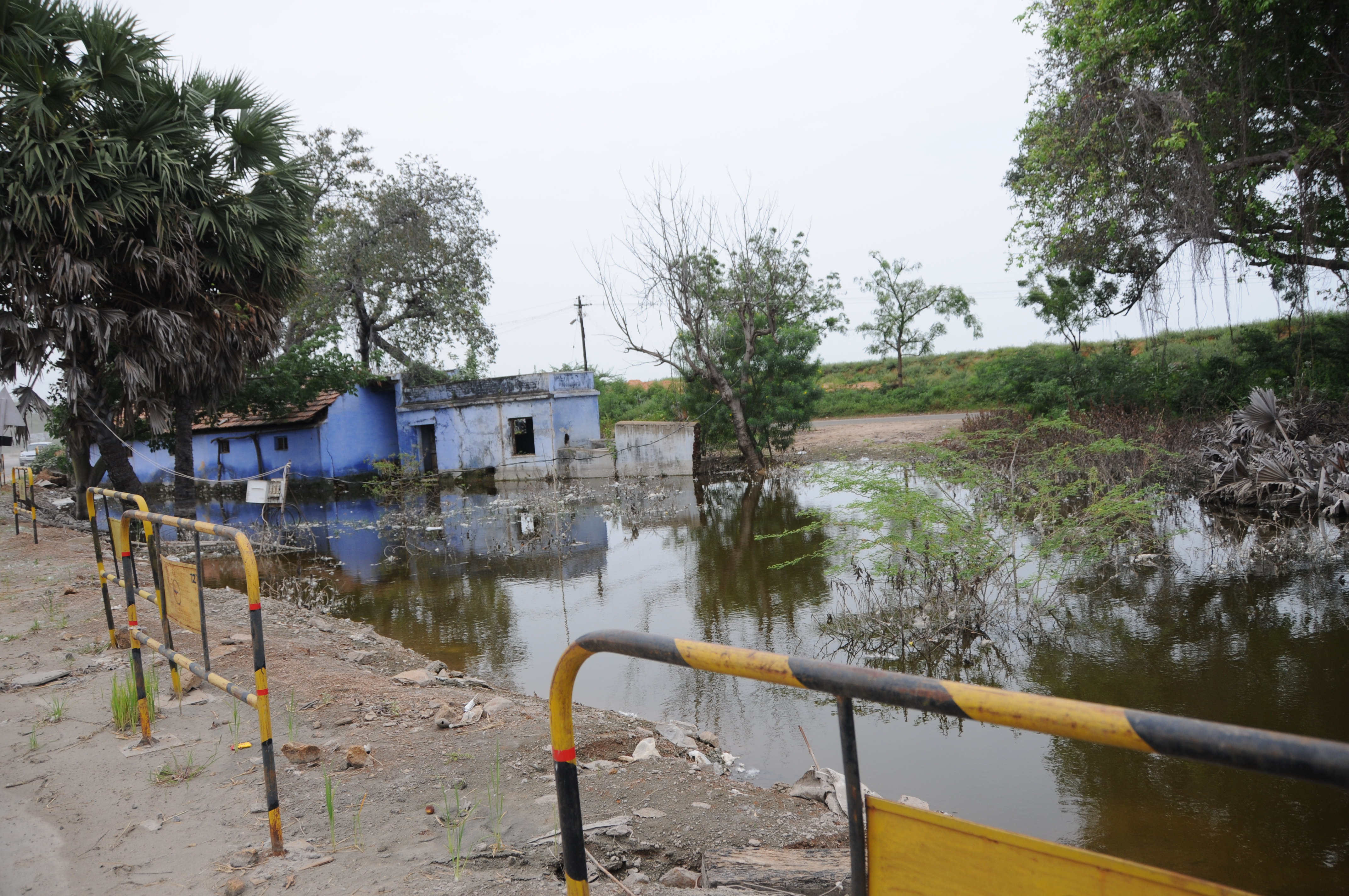
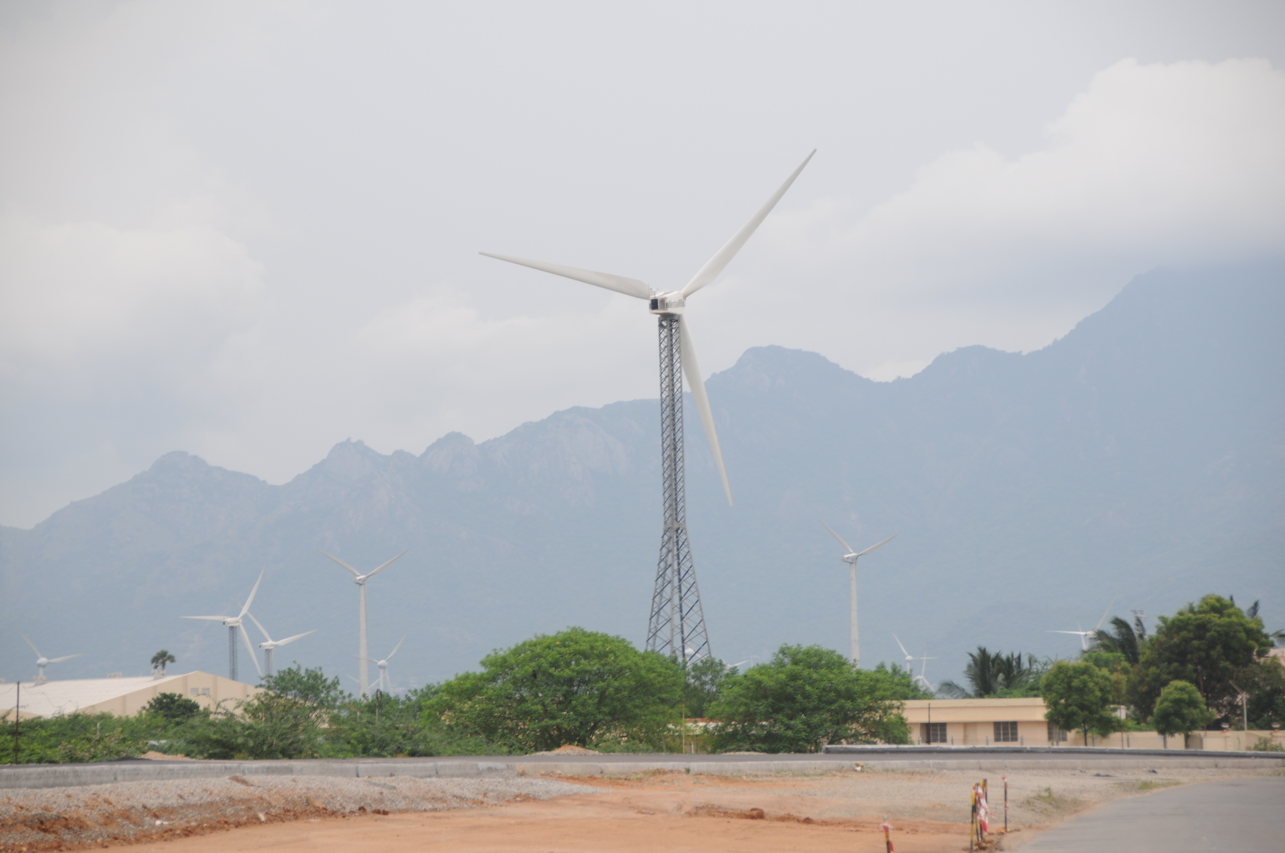
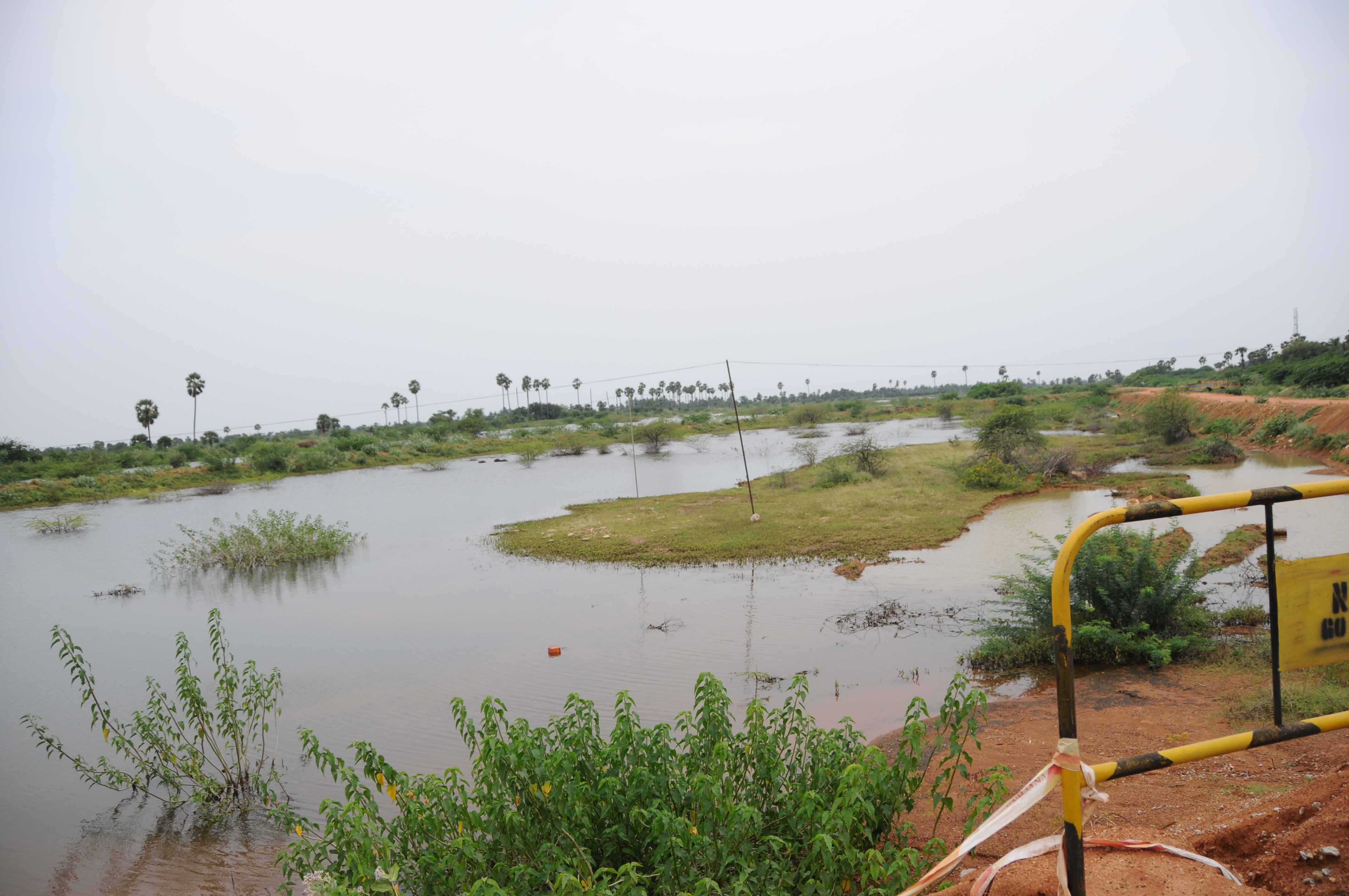
Related Photos:

CSP_5305.JPG

CSP_5312.JPG

CSP_5298.JPG

CSP_5294.JPG

CSP_5297.JPG

CSP_5299.JPG
CSP_5287.JPG

CSP_5300.JPG

CSP_5303.JPG

CSP_5286.JPG

CSP_5284.JPG

CSP_5310.JPG

CSP_5325.JPG

CSP_5319.JPG

CSP_5323.JPG
CSP_5304.JPG

CSP_5313.JPG
CSP_5296.JPG

CSP_5306.JPG

CSP_5311.JPG

Tirunelveli-Kanyakumari NH7, August 2014
Topographic Map of Valliyur, Tamil Nadu, India
Find elevation by address:

Places near Valliyur, Tamil Nadu, India:
Kodumudiyaru Dam
Veerapuli R.f.
Chettikulam
Nagercoil
Green Street 1
Kanyakumari
The Gopinivas Grand
Thoothukudi-tiruchendur-kanyakumari Road
Kuttam
Recent Searches:
- Elevation of Corso Fratelli Cairoli, 35, Macerata MC, Italy
- Elevation of Tallevast Rd, Sarasota, FL, USA
- Elevation of 4th St E, Sonoma, CA, USA
- Elevation of Black Hollow Rd, Pennsdale, PA, USA
- Elevation of Oakland Ave, Williamsport, PA, USA
- Elevation of Pedrógão Grande, Portugal
- Elevation of Klee Dr, Martinsburg, WV, USA
- Elevation of Via Roma, Pieranica CR, Italy
- Elevation of Tavkvetili Mountain, Georgia
- Elevation of Hartfords Bluff Cir, Mt Pleasant, SC, USA