Elevation of Valley End Road, Valley End Rd, Ararat, VA, USA
Location: United States > Virginia > Ararat >
Longitude: -80.576698
Latitude: 36.6328962
Elevation: 460m / 1509feet
Barometric Pressure: 96KPa
Elevation Map:
Satellite Map:
Related Photos:
cheese omelette
pies, Fancy Gap, Virginia

Starry swirl on the Blue Ridge Parkway.
view-
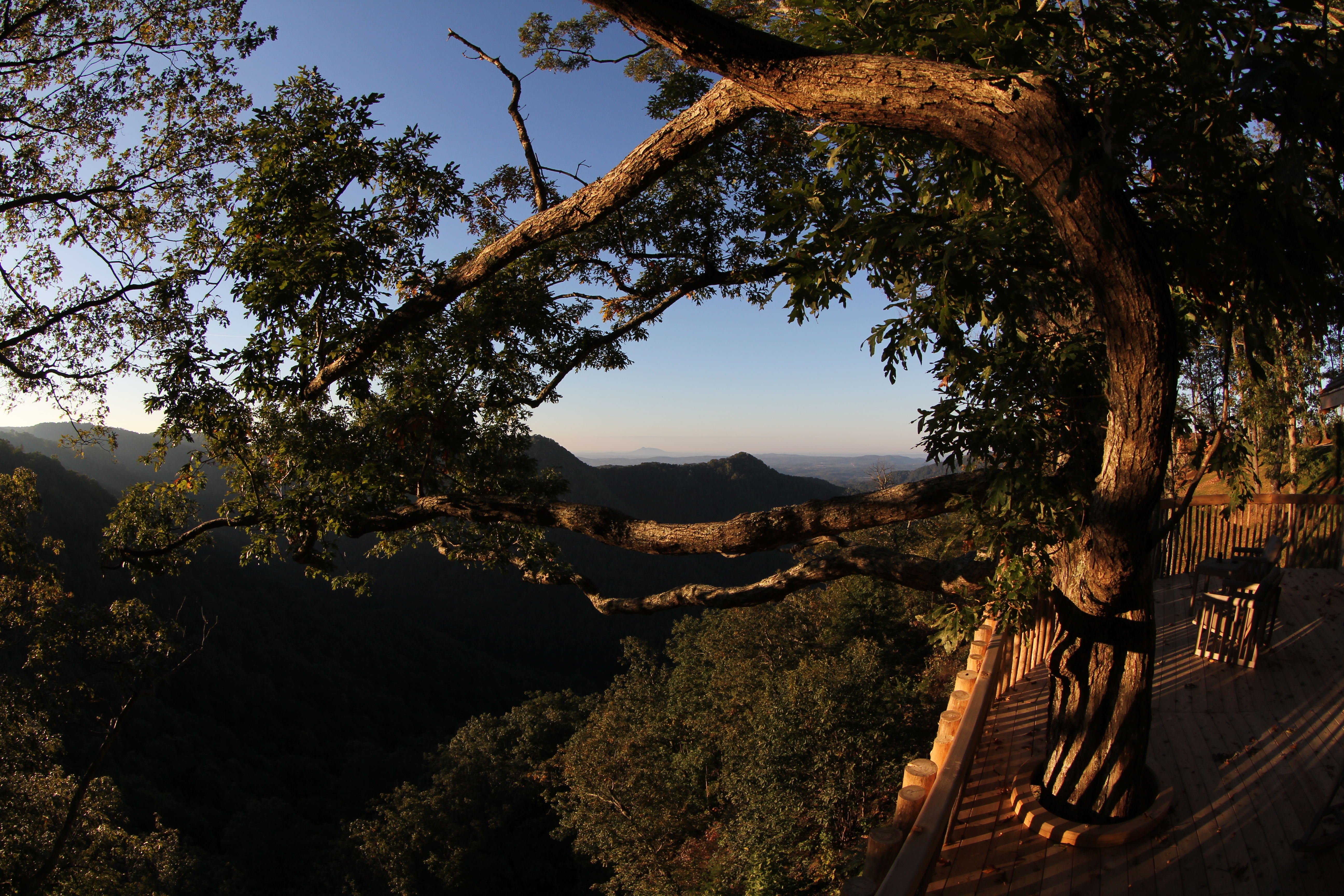
PARKWAY VIEW

North Carolina | Mount Airy

Room with a View
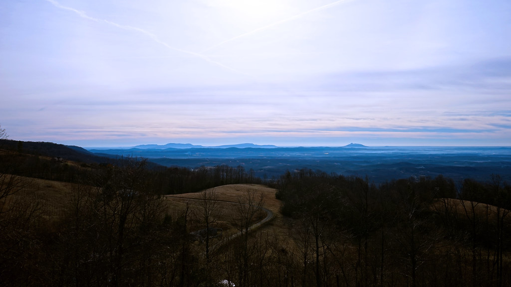
The Rolling Blue Ridge Mountians
2942 View Pilot Mountain Img_14103
Puckett Cabin
2939 View Pilot Mountain Img_14100
Fancy Gap, Virginia
Nice view

2944 View Pilot Mountain Img_14105
Mayberry Police Car
the morning fog

Bank of Mount Airy

Bright Leaf Drive-In, Mt. Airy, NC, 2000
Fancy Gap Morning
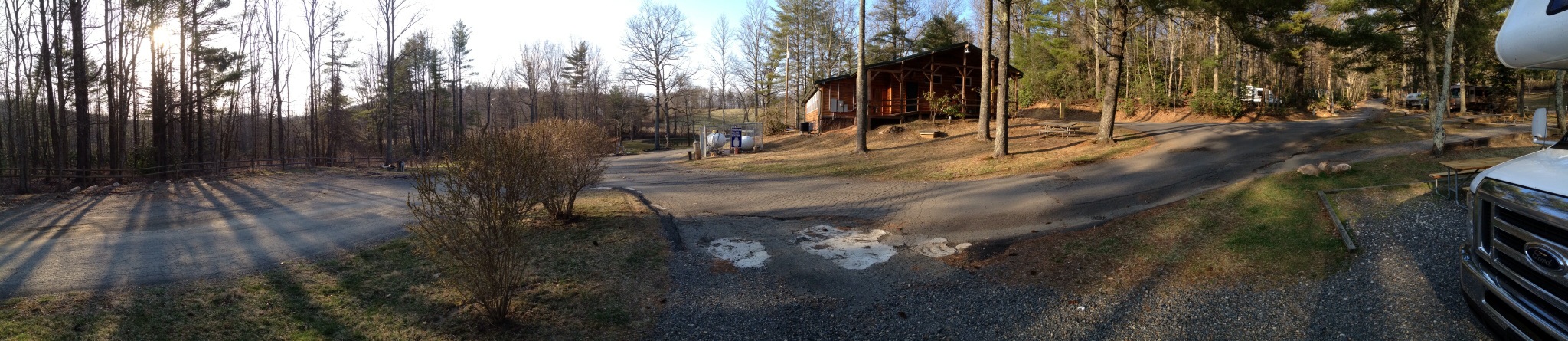
Panorama stage 27 KOA
2937 View Pilot Mountain Img_14098
09 Primland Barn Owl Exteriors IMG_9807
Dreamy sunset
Snowy Path to the Fog

20081010Mountains 081
Route 52 (18)
Because there aren't enough pretty #sunset pictures on Instagram...

Gorgeous day in the mountains... #nature #weather #mountain #vacation
img000925.png

Fields of Green

Blue Ridge Mountain Moonrise #outdoors #virginia #gooutsideandplay

Small Mountain Stream

Field trip on disequilibrium landscapes. Very...

State Line Sunset

Walk Into The Sun

Barn, Blue Ridge Parkway
Topographic Map of Valley End Road, Valley End Rd, Ararat, VA, USA
Find elevation by address:

Places near Valley End Road, Valley End Rd, Ararat, VA, USA:
Valley End Road
Haynes Garage
Bald Rock Mountain Lane
Old School House Road
Marshall Ridge Road
770 Gunny Sack Trail
Bluemont Presbyterian Church
1931 Willis Gap Rd
Gunny Sack Trail
Puckett Cabin
1060 Doe Run Rd
Boundary Road
2 Creek View Ln
187 Buck Hollar Rd
54 Deer Run Trail
54 Deer Run Trail
54 Deer Run Trail
Friends Mission Road
Friends Mission Road
Friends Mission Road
Recent Searches:
- Elevation of Corso Fratelli Cairoli, 35, Macerata MC, Italy
- Elevation of Tallevast Rd, Sarasota, FL, USA
- Elevation of 4th St E, Sonoma, CA, USA
- Elevation of Black Hollow Rd, Pennsdale, PA, USA
- Elevation of Oakland Ave, Williamsport, PA, USA
- Elevation of Pedrógão Grande, Portugal
- Elevation of Klee Dr, Martinsburg, WV, USA
- Elevation of Via Roma, Pieranica CR, Italy
- Elevation of Tavkvetili Mountain, Georgia
- Elevation of Hartfords Bluff Cir, Mt Pleasant, SC, USA