Elevation of Vale Lodge, Redmile, Nottingham NG13 0GS, UK
Location: United Kingdom > Leicestershire > Redmile >
Longitude: -0.8413081
Latitude: 52.922205
Elevation: 37m / 121feet
Barometric Pressure: 101KPa
Elevation Map:
Satellite Map:
Related Photos:
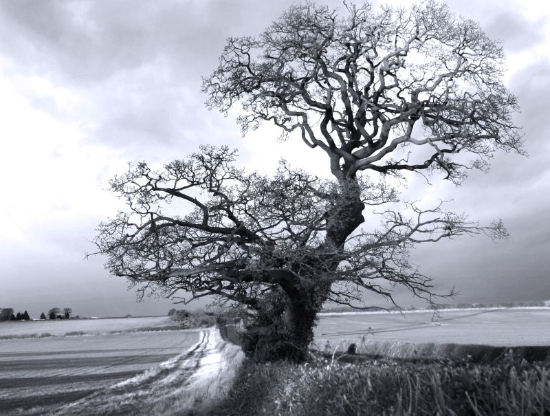
Monochrome Tree with a Blue Filter!
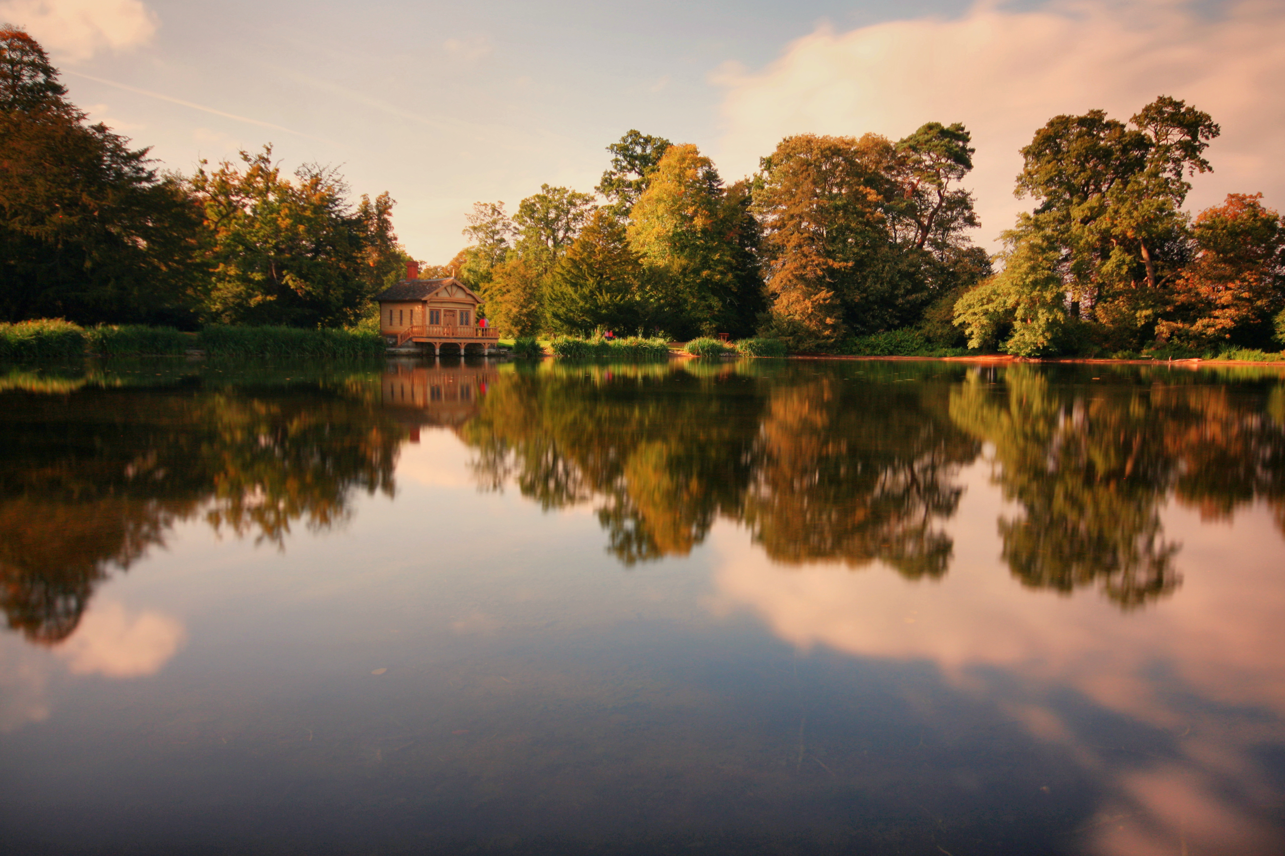
Belton House Lake

The Green Boat

~Calvatomina rufescens in pre-moult state~

Redmile, Leicestershire

between squalls in the Trent Valley, Nothinghamshire

Night sky 24.12.13

Leaves & Trees (Best Viewed Large)

Early Morning Fall
Scott in the sky with two trees, on Hickling Standard
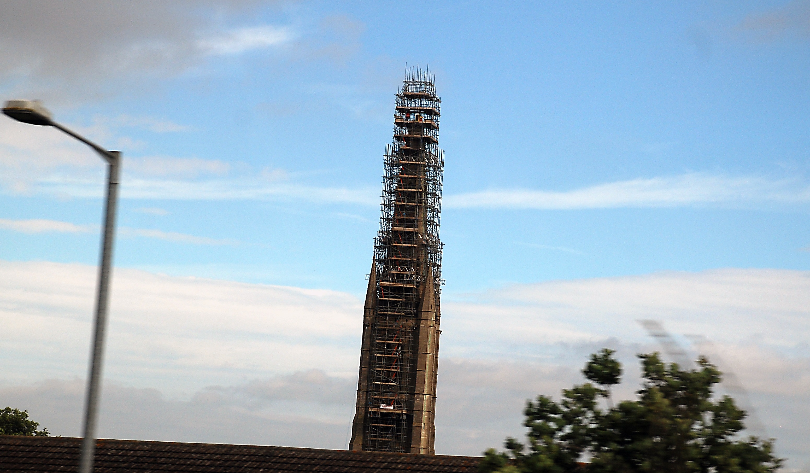
St. Wulfram's Church Grantham Taken from Train window on way to Leeds and see the man working near the top

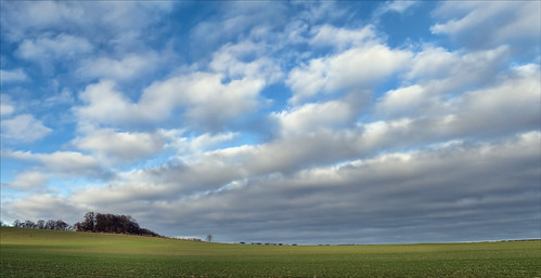
Nothinghamshire landscape

Tiki Mugs - sideways view compilation

Claypole, Lincolnshire

Claypole, Lincolnshire

Claypole, Lincolnshire

Claypole, Lincolnshire

River Trent view [Explored]

East Bridgford, Nottinghamshire

Sunset Across The Vale
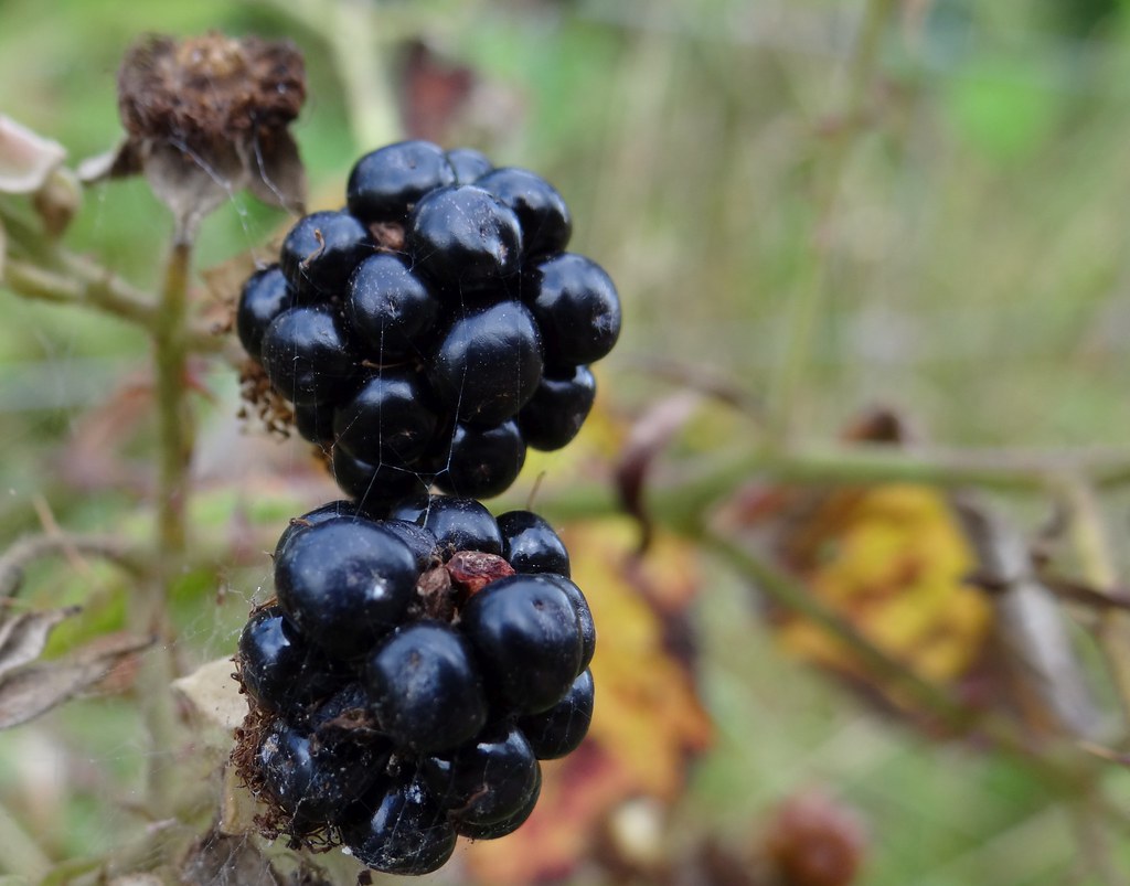
Blackberries. Sept 2012

Life Is Change

with open arms
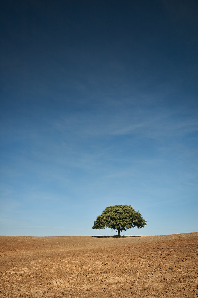
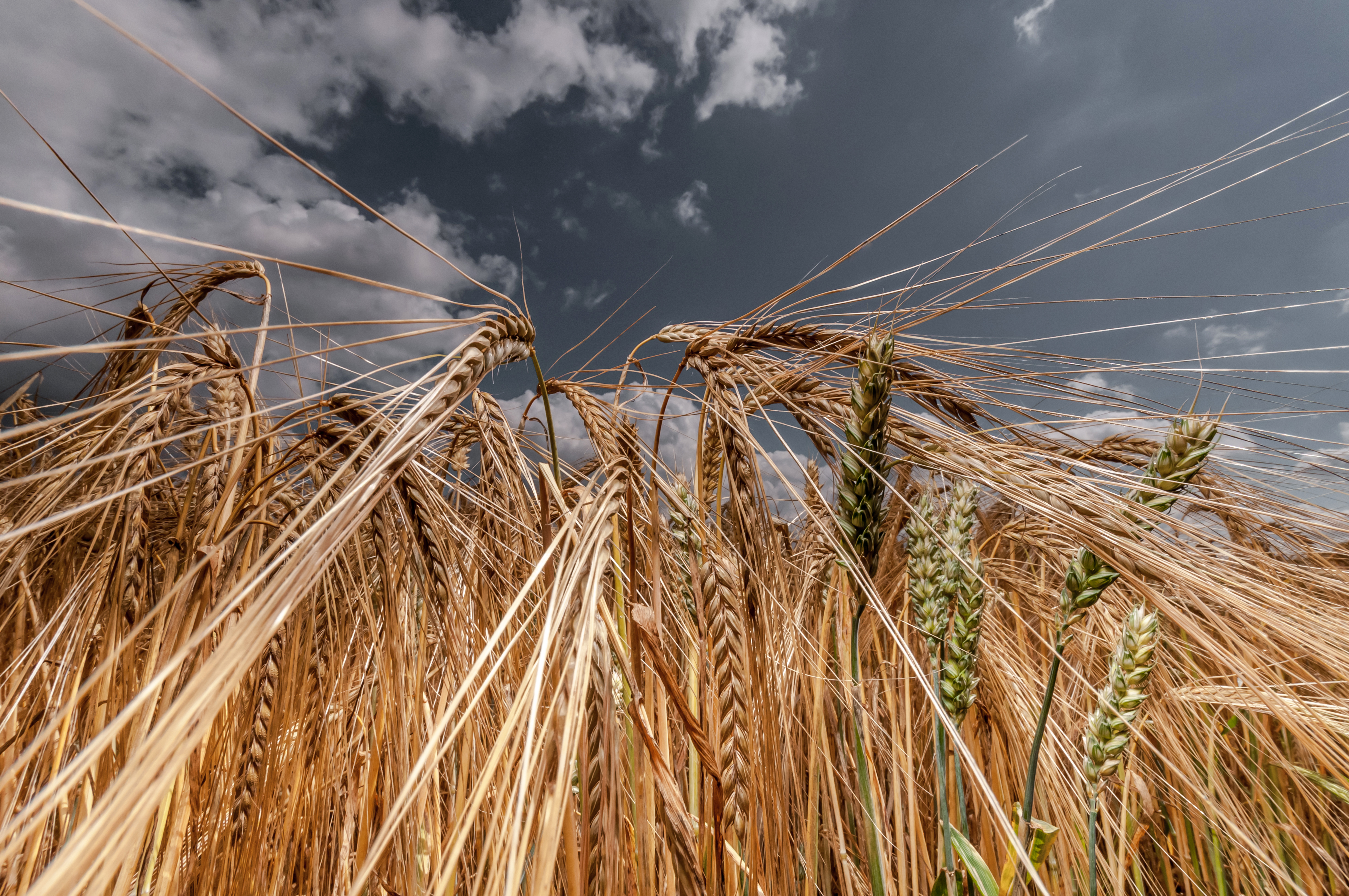
tree - after the harvest
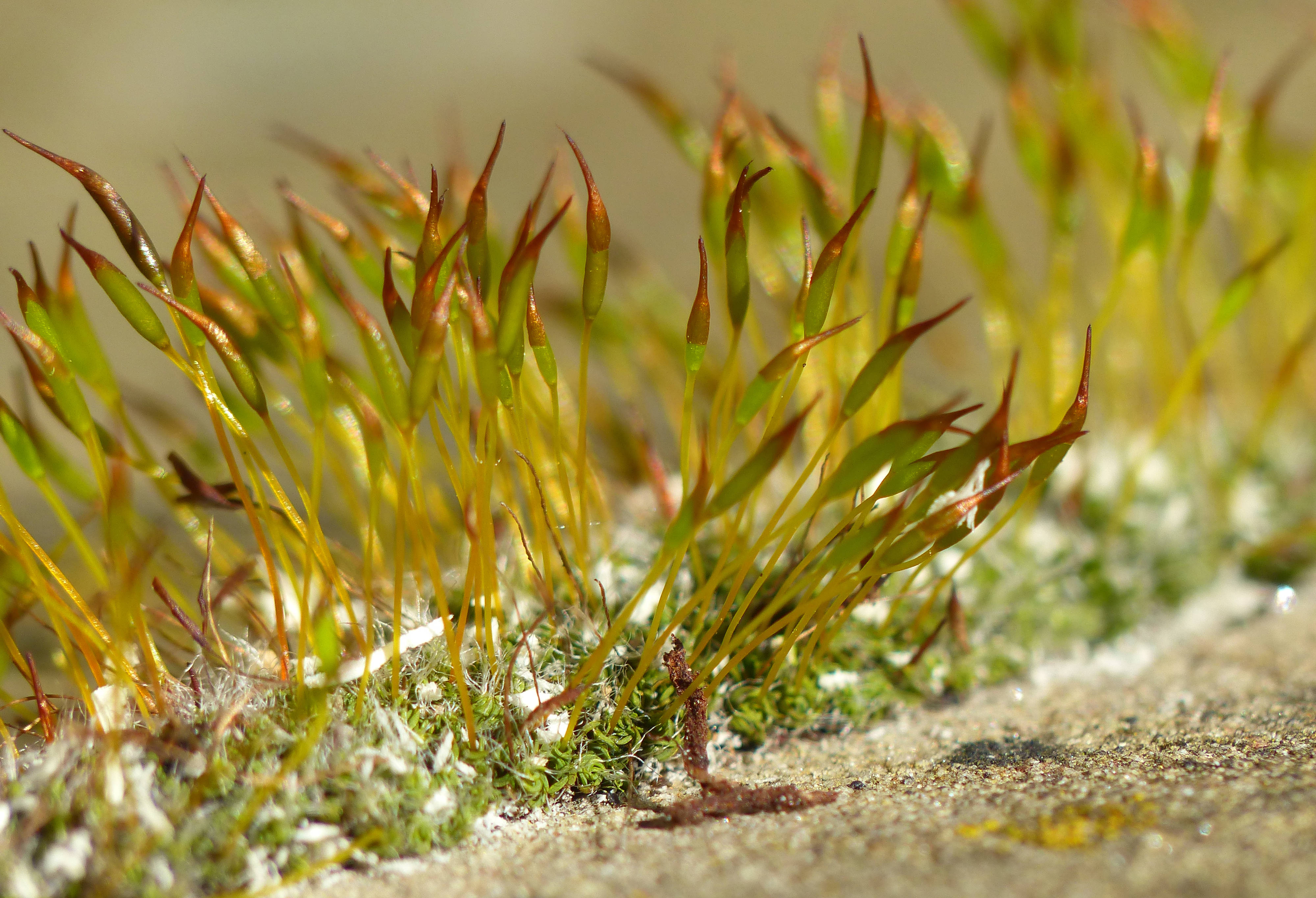
Wall Screw-moss (Tortula muralis)

Double rainbow 03.05.15

Wedding Venue

Field of Pollen
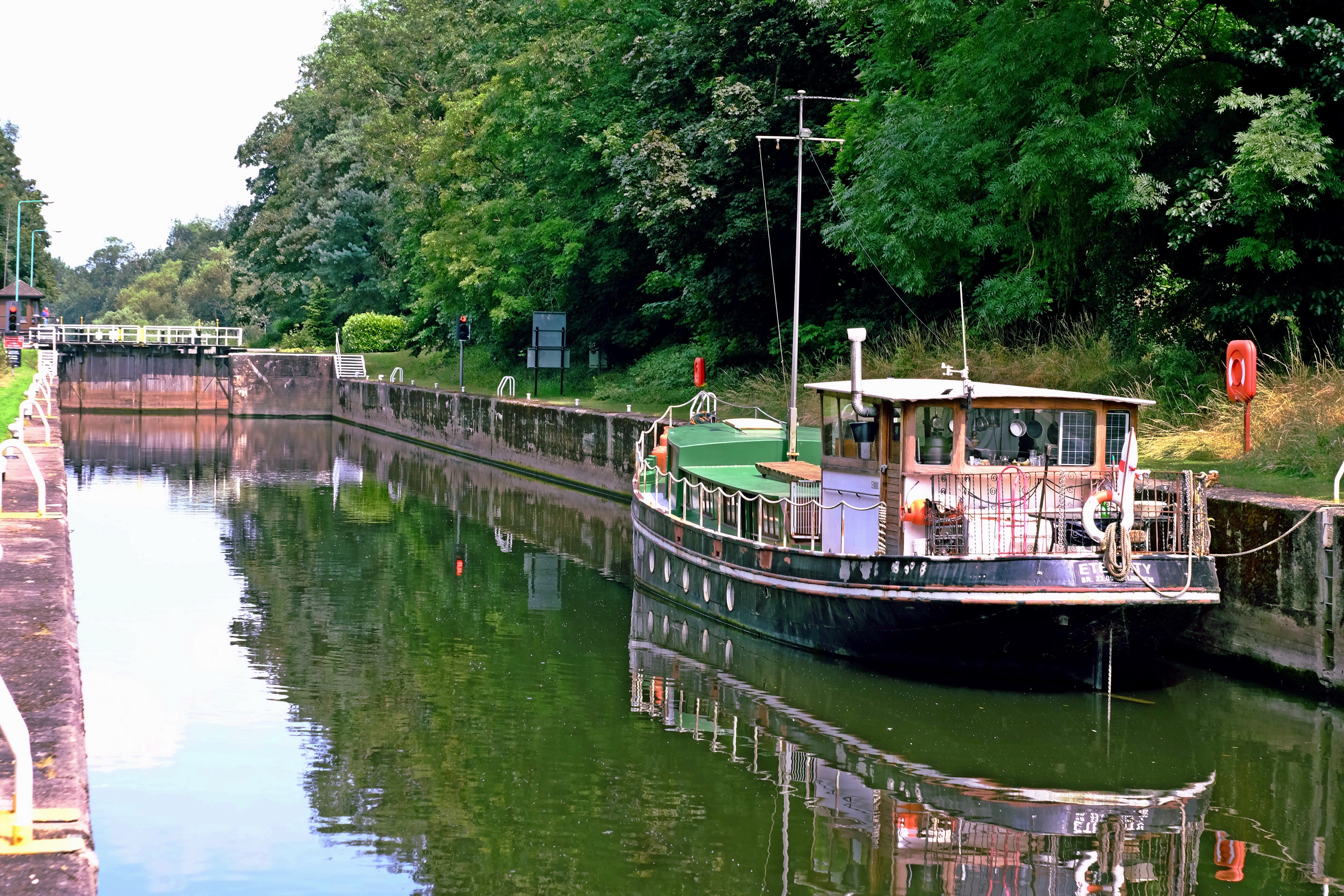
Stoke lock
Hoe Hill, Between Normanton and Clipston (on the Wolds)
Amazing view over the Vale of Belvior.
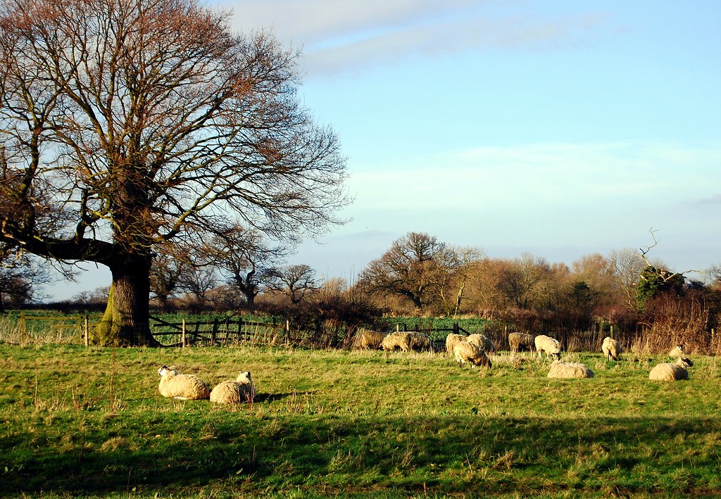
English Idyll (sheep may safely graze)
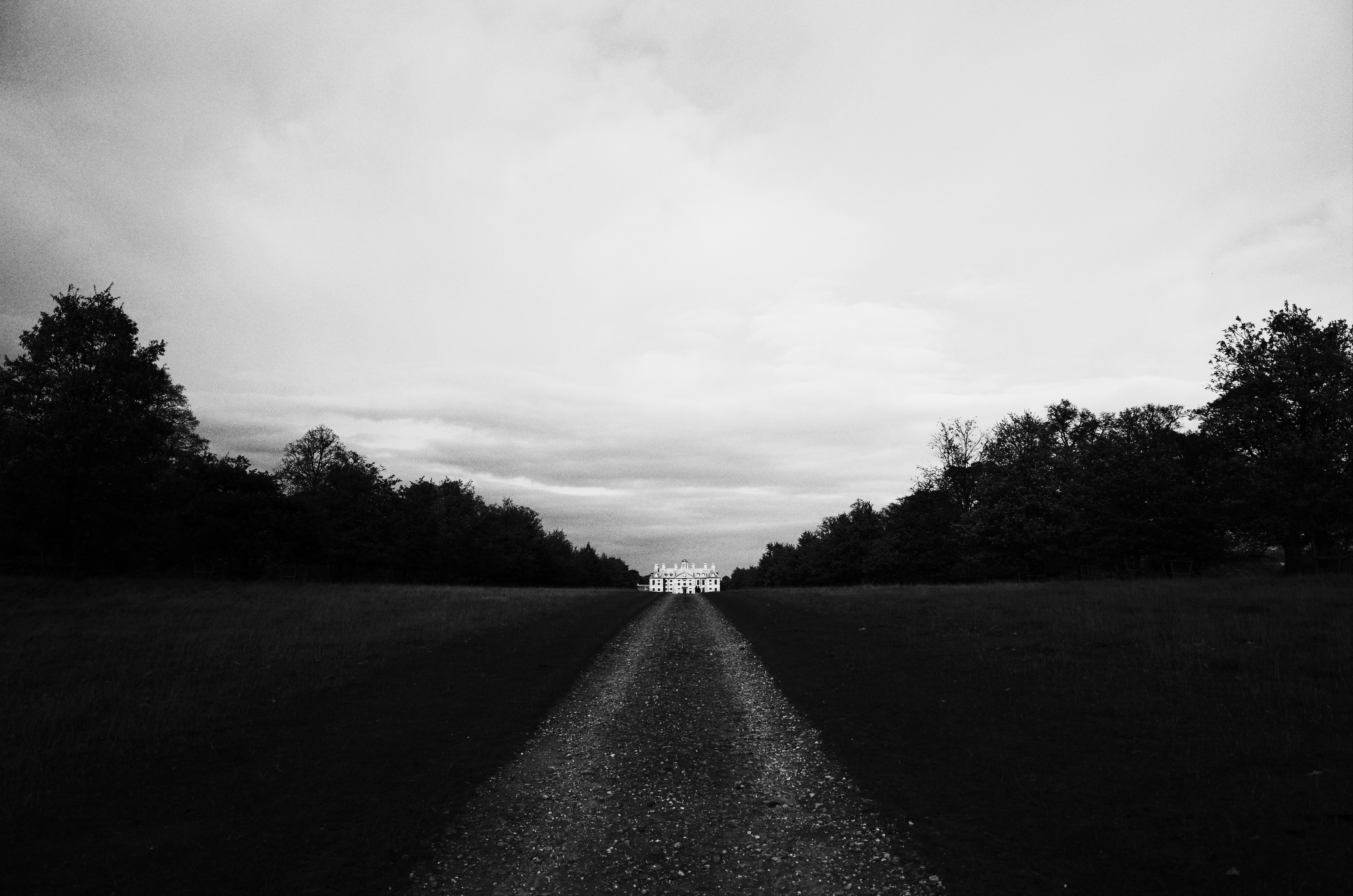
The House II
Vale of Belvoir

21:01, 21.6.09 - Nottinghamshire
the Toll House at Gunthorpe
Frenzy! - [Explored]

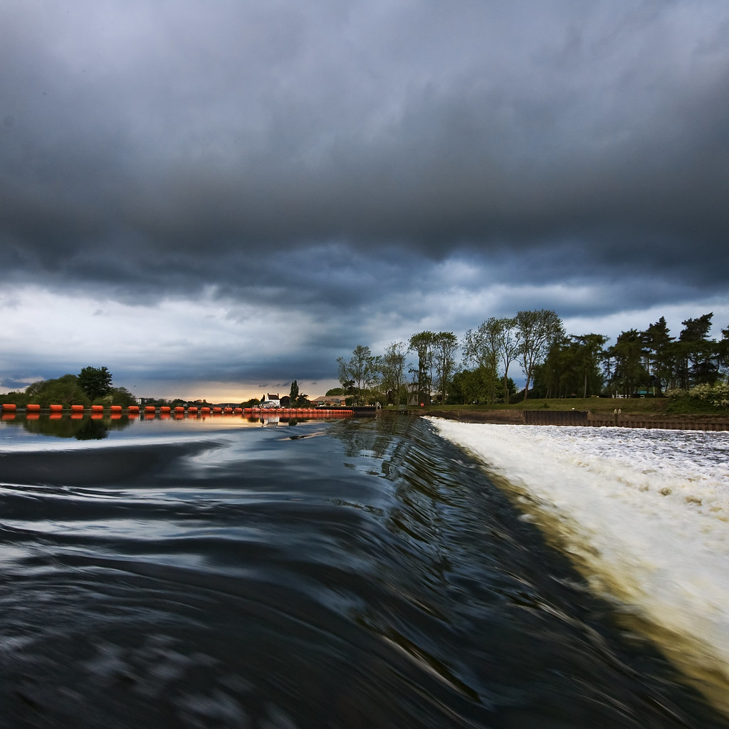
Gunthorpe Weir

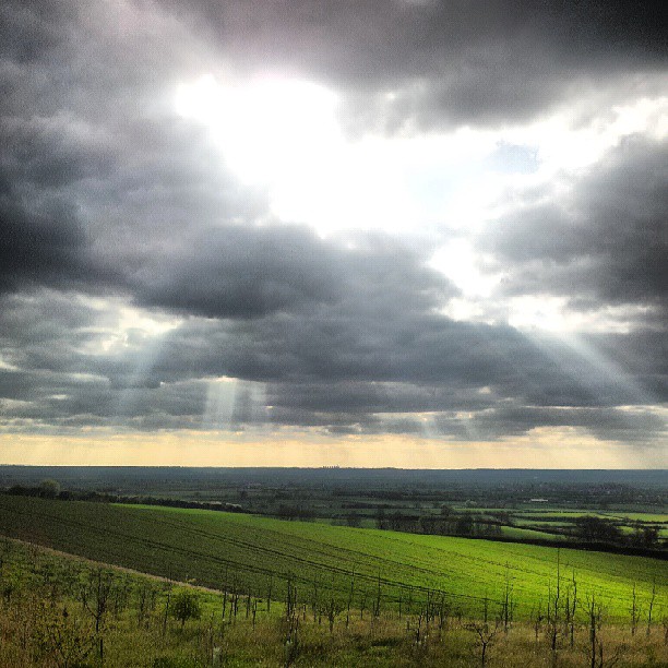
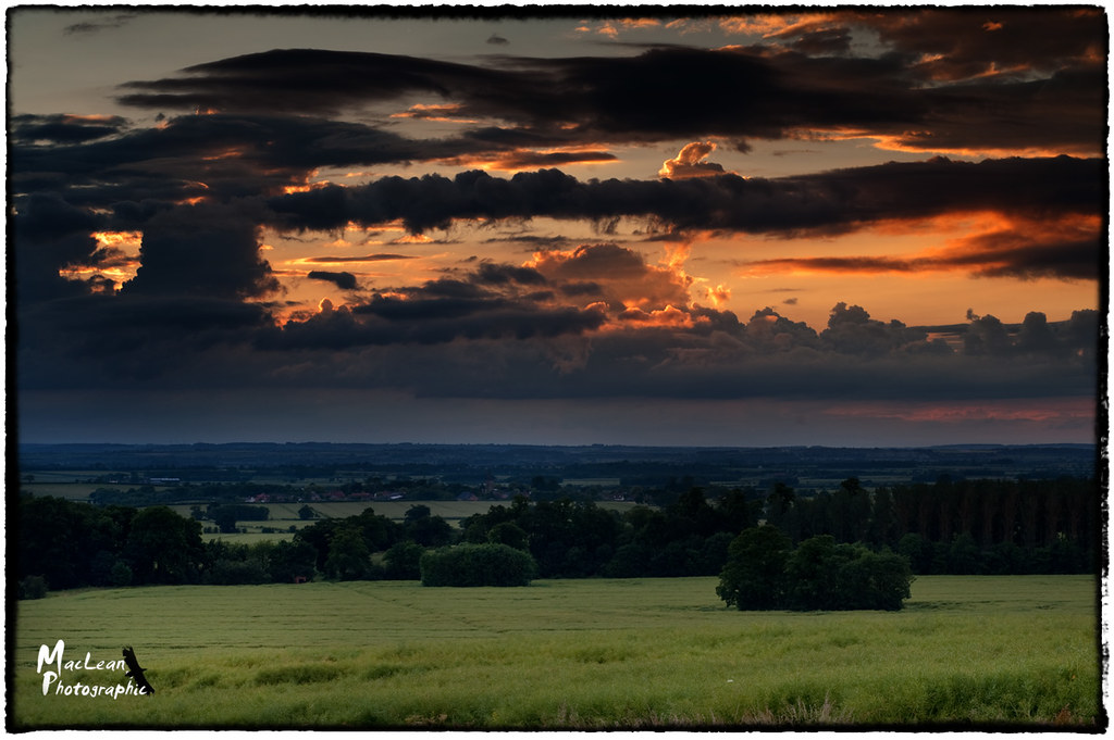
Stormy Skies
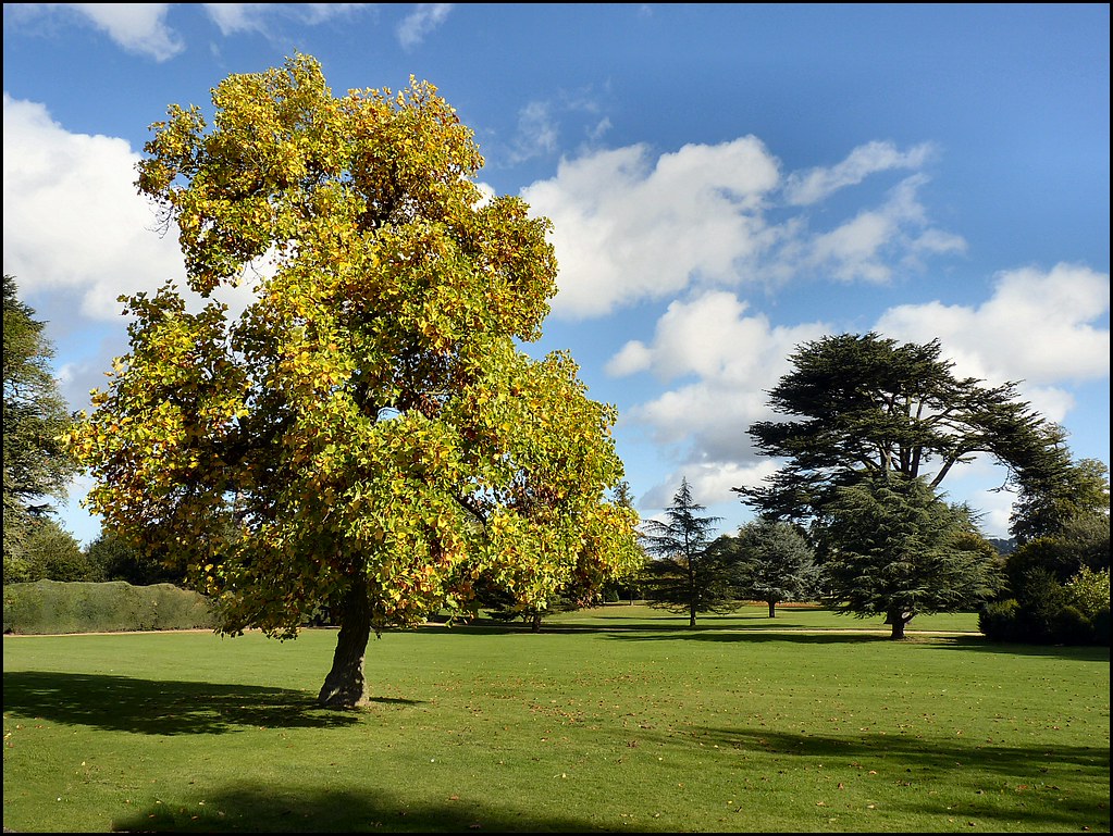
The Grounds, Belton House, Belton, Lincolnshire
Topographic Map of Vale Lodge, Redmile, Nottingham NG13 0GS, UK
Find elevation by address:

Places near Vale Lodge, Redmile, Nottingham NG13 0GS, UK:
Ng13 0gf
Hawthorn House
Screveton
24 Lilley St, Long Bennington, Newark NG23 5EJ, UK
Long Bennington
Church Street
Mucklethorn Lodge
Bingham
Allington
Casthorpe
Keepers Cottage
Green Bank
Tithby
51 Forest Rd
Airfield Cottage
Fernwood
13 Salisbury Rd
13 Salisbury Rd
A52
Newark-on-trent
Recent Searches:
- Elevation of Corso Fratelli Cairoli, 35, Macerata MC, Italy
- Elevation of Tallevast Rd, Sarasota, FL, USA
- Elevation of 4th St E, Sonoma, CA, USA
- Elevation of Black Hollow Rd, Pennsdale, PA, USA
- Elevation of Oakland Ave, Williamsport, PA, USA
- Elevation of Pedrógão Grande, Portugal
- Elevation of Klee Dr, Martinsburg, WV, USA
- Elevation of Via Roma, Pieranica CR, Italy
- Elevation of Tavkvetili Mountain, Georgia
- Elevation of Hartfords Bluff Cir, Mt Pleasant, SC, USA