Elevation of Vējiņi, Annas pagasts, LV-, Latvia
Location: Latvia >
Longitude: 27.022248
Latitude: 57.3687879
Elevation: 172m / 564feet
Barometric Pressure: 99KPa
Elevation Map:
Satellite Map:
Related Photos:

waiting for storm

bridge to clouds

winter path

dance of butterfly

island III

illuminated by sun

against the sun

still waiting

in the midle
asymmetry II

illuminated by the sun

winter sun

winter memories
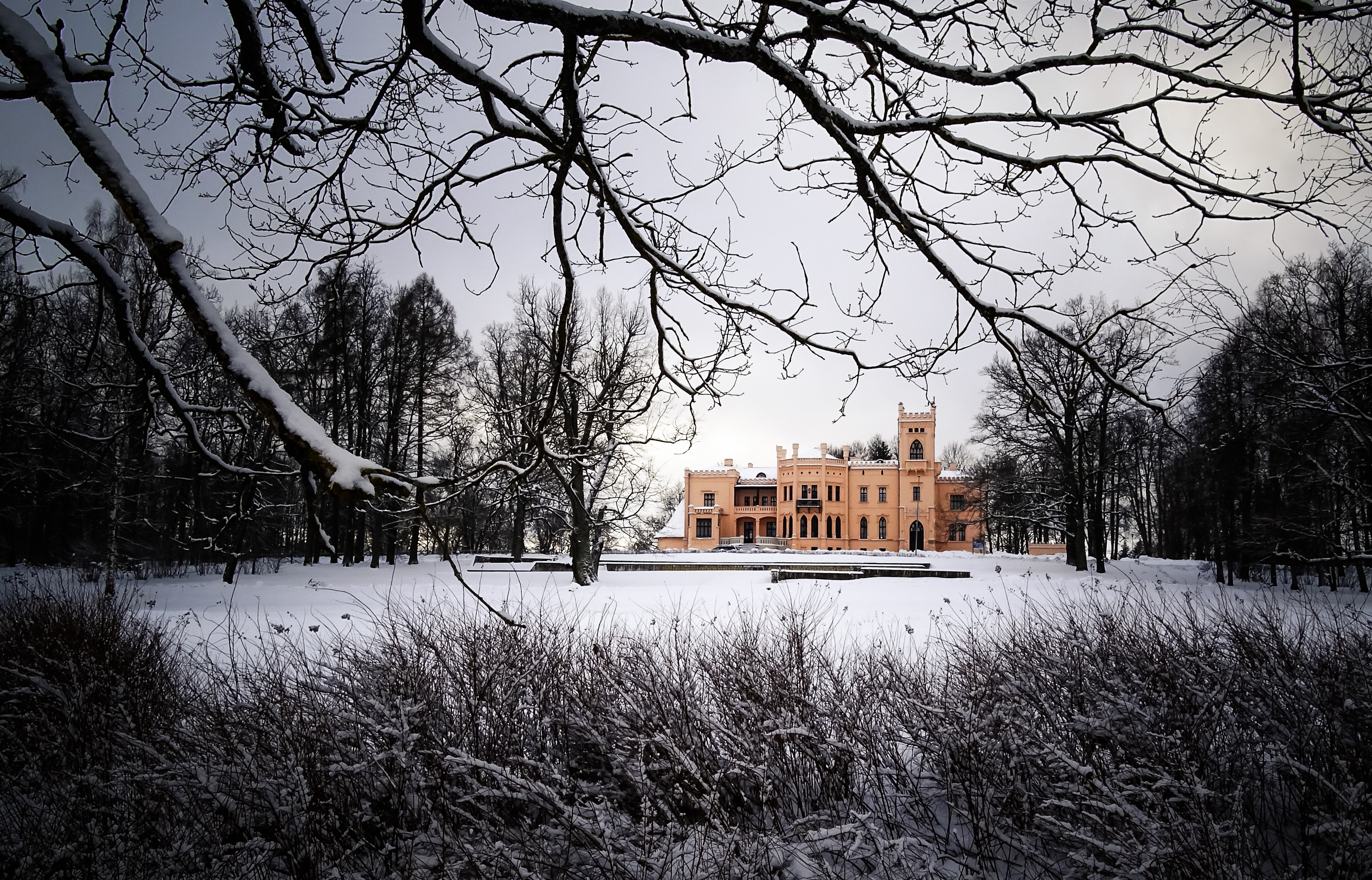
framed palace II

paradise beach

light road

island ll

hide and seek

against the storm

against the storm

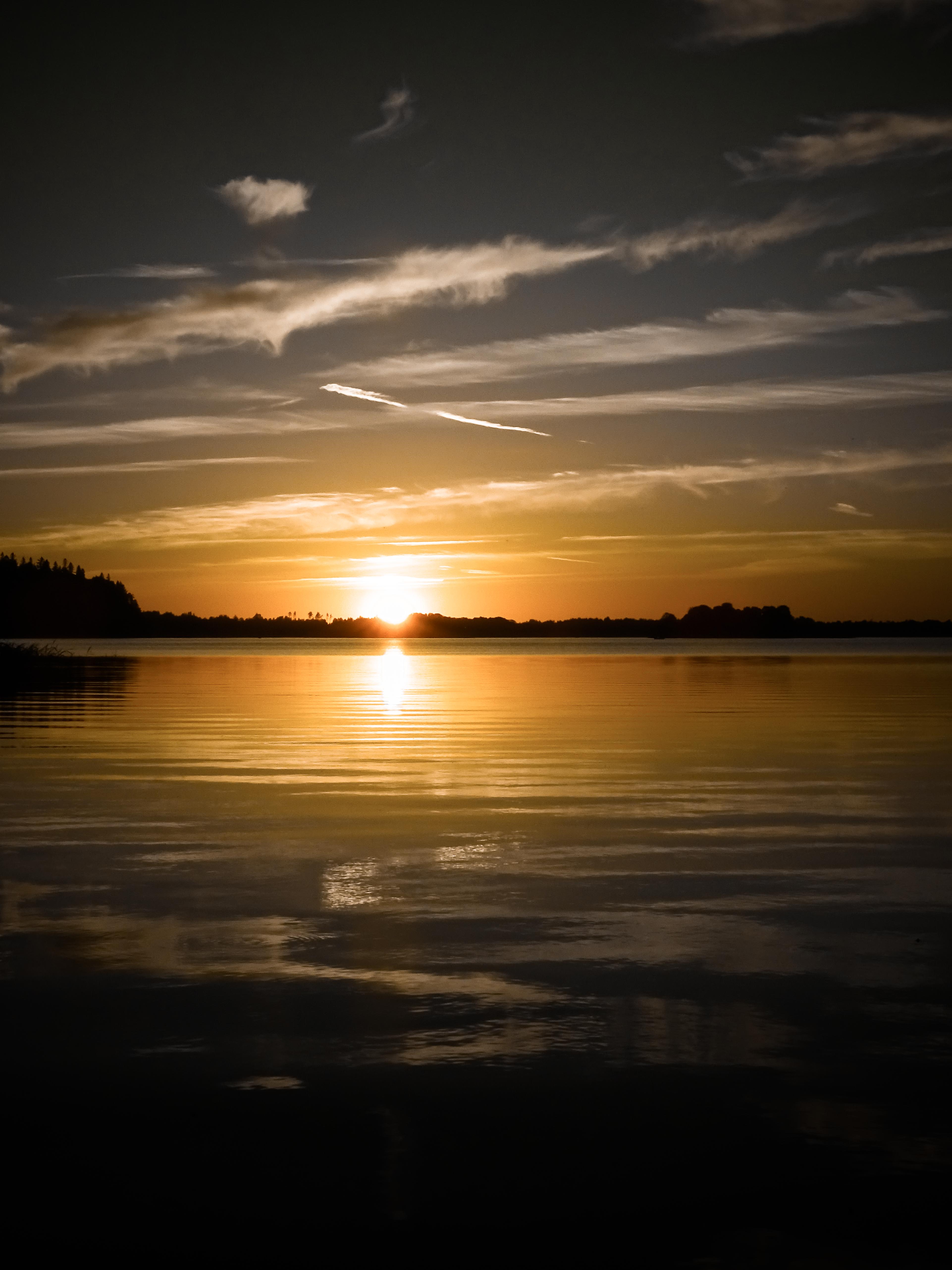
path of the sun
Topographic Map of Vējiņi, Annas pagasts, LV-, Latvia
Find elevation by address:

Places near Vējiņi, Annas pagasts, LV-, Latvia:
Alūksne
Liepu iela 4, Pilskalns, Beļavas pagasts, LV-, Latvia
Gulbene , Dzelzcela Stacija
Gulbene
Balvi
Lubāna Municipality
Lubānas Pilsēta
Lubāna
Ošupes Pagasts
Īdeņa
Lake Lubāns
Skolas iela 1, Degumnieki, Ošupes pagasts, LV-, Latvia
Degumnieki
Skolas iela 19, Degumnieki, Ošupes pagasts, LV-, Latvia
Nagļi Parish
Salnavas Pagasts
Skolas iela 4, Salnava, Salnavas pagasts, LV-, Latvia
Burzava
Mežvidi
Mežvidi Parish
Recent Searches:
- Elevation of Corso Fratelli Cairoli, 35, Macerata MC, Italy
- Elevation of Tallevast Rd, Sarasota, FL, USA
- Elevation of 4th St E, Sonoma, CA, USA
- Elevation of Black Hollow Rd, Pennsdale, PA, USA
- Elevation of Oakland Ave, Williamsport, PA, USA
- Elevation of Pedrógão Grande, Portugal
- Elevation of Klee Dr, Martinsburg, WV, USA
- Elevation of Via Roma, Pieranica CR, Italy
- Elevation of Tavkvetili Mountain, Georgia
- Elevation of Hartfords Bluff Cir, Mt Pleasant, SC, USA