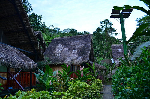
Elevation of Vía a Los Zorros, Ecuador
Location: Ecuador > Orellana Province > Francisco De Orellana > La Belleza >
Longitude: -77.042537
Latitude: -0.6224922
Elevation: 331m / 1086feet
Barometric Pressure: 97KPa
Related Photos:
Topographic Map of Vía a Los Zorros, Ecuador
Find elevation by address:

Places near Vía a Los Zorros, Ecuador:
La Belleza
Hotel El Auca
Coca
Francisco De Orellana Airport
Orellana Province
Rio Napo
Yarina Eco Lodge
Loreto Canton
Francisco De Orellana
Limoncocha
Shushufindi
Sacha Lodge
Napo Wildlife Center Ecolodge
Shushufindi
Sani Lodge
Recent Searches:
- Elevation of Corso Fratelli Cairoli, 35, Macerata MC, Italy
- Elevation of Tallevast Rd, Sarasota, FL, USA
- Elevation of 4th St E, Sonoma, CA, USA
- Elevation of Black Hollow Rd, Pennsdale, PA, USA
- Elevation of Oakland Ave, Williamsport, PA, USA
- Elevation of Pedrógão Grande, Portugal
- Elevation of Klee Dr, Martinsburg, WV, USA
- Elevation of Via Roma, Pieranica CR, Italy
- Elevation of Tavkvetili Mountain, Georgia
- Elevation of Hartfords Bluff Cir, Mt Pleasant, SC, USA


